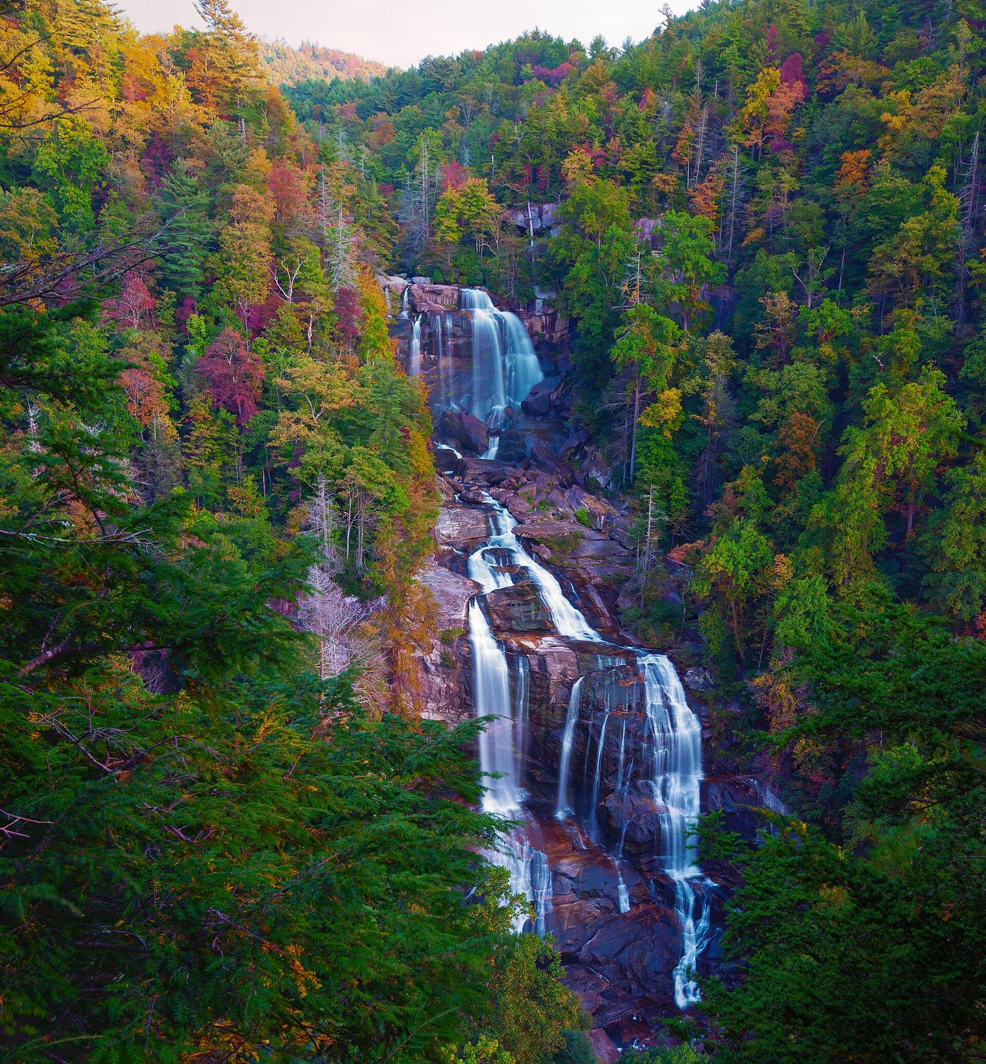
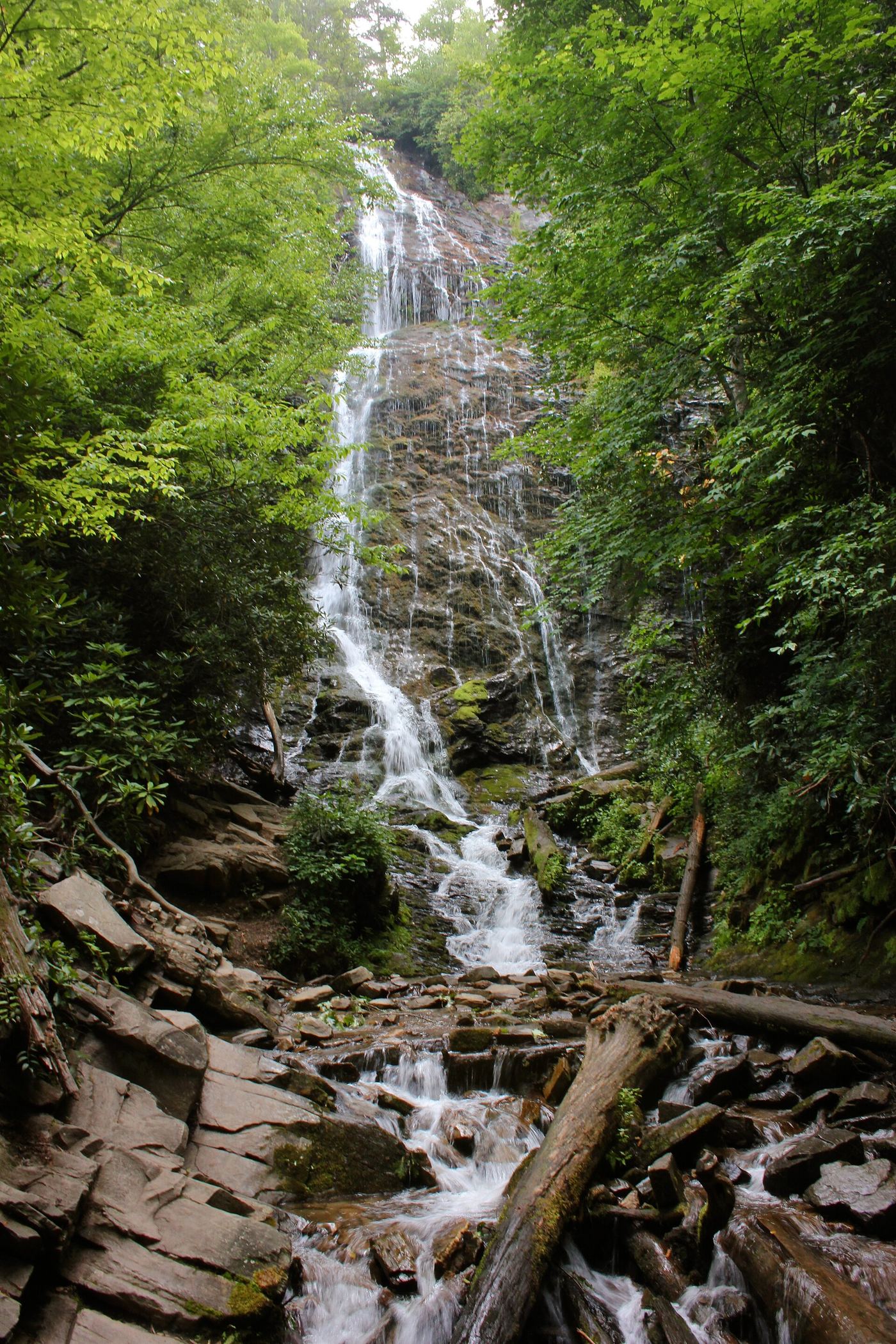
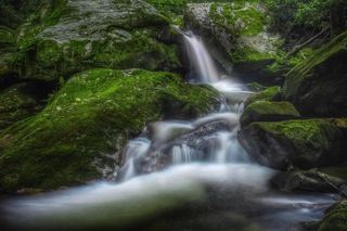
Upper Whitewater Falls
410 ft (125 m) · Transylvania County, NC
799 named waterfalls in 34 counties. Browse mapped locations and recorded heights. A map listing does not confirm public access or a walking route.
Read the walking route, starting point and current access notes.
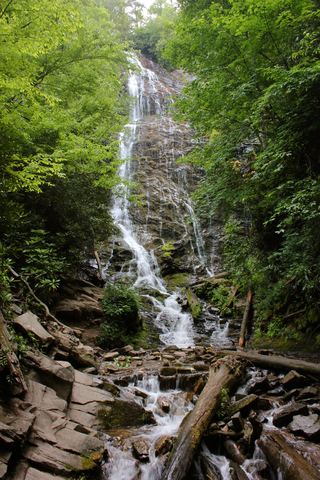 Mingo FallsResearched visit notesAbout 120 ft · Swain County, NC
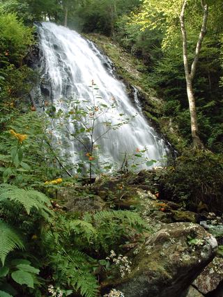 Crabtree FallsTrail listed closed66 ft (20 m) · Yancey County, NC
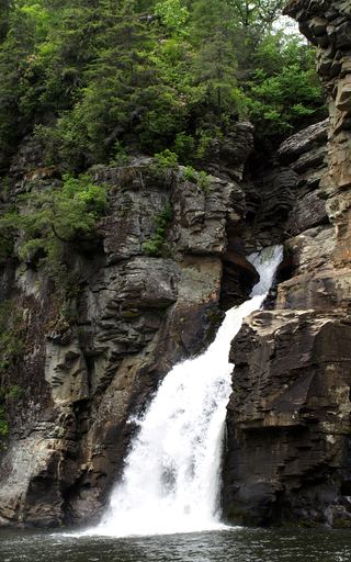 Linville FallsResearched visit notesBurke County, NC
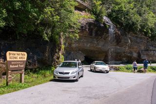 Bridal Veil FallsPull-off verified; pedestrian approach unspecified60 ft (18.3 m) · Macon County, NC
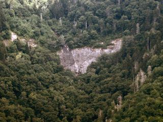 Glassmine FallsOverlook approach verified; no public access to the waterfallBuncombe County, NC
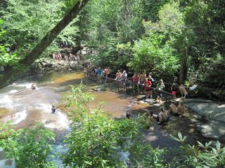 Sliding RockSource-reviewed route and parkingTransylvania County, NC
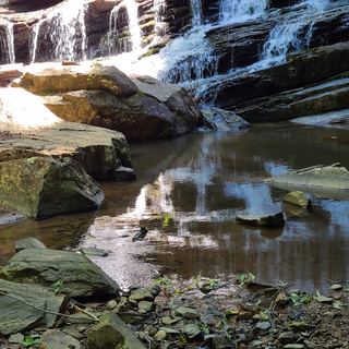 Pearson's FallsAdvance reservation required89 ft (27 m) · Polk County, NC
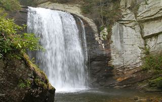 Looking Glass FallsResearched visit notes59 ft (18 m) · Transylvania County, NC
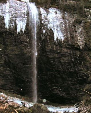 Douglas FallsGraybeard approach documented; Big Ivy road approach has a motor-vehicle closure.Buncombe County, NC
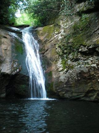 Courthouse FallsApproach road closed due to storm damage; no open parking-to-falls route verified.33 ft (10 m) · Transylvania County, NC
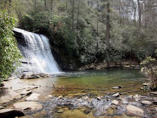 Silver Run FallsResearched walking route26 ft (8 m) · Jackson County, NC
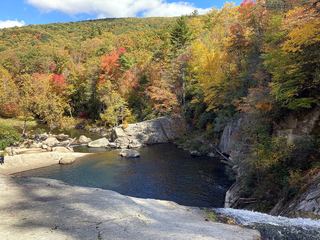 Elk River FallsSource-reviewed route and parking49 ft (15 m) · Avery County, NC
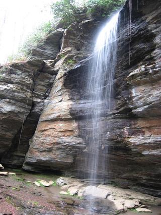 Moore Cove FallsResearched visit notes49 ft (15 m) · Transylvania County, NC
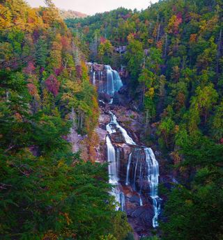 Upper Whitewater FallsResearched visit notes410 ft (125 m) · Transylvania County, NC
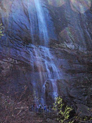 Hickory Nut FallsState park trail with admission fee; official trail descriptionRutherford County, NC
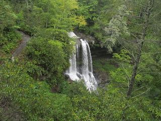 Dry FallsResearched visit notesMacon County, NC
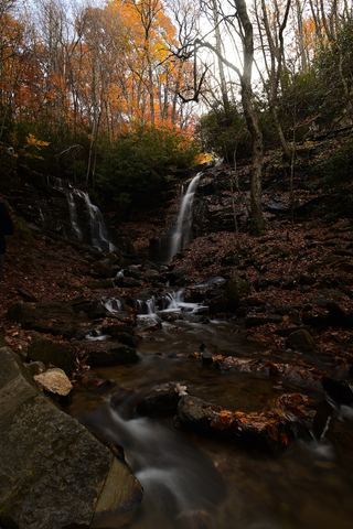 Soco FallsShort marked trail from the new EBCI parking areaJackson County, NC
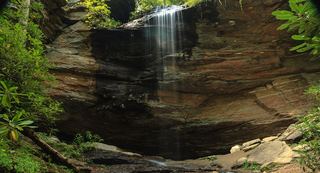 Little Moore Cove FallsNational forest trail and short informal side path; post-Helene condition unverified26 ft (8 m) · Transylvania County, NC
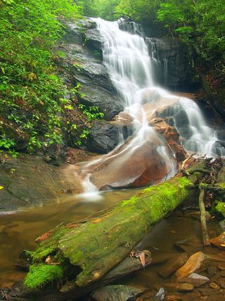 Log Hollow FallsGated forest road walk; easyTransylvania County, NC
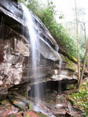 Slick Rock FallsPossible road-access closure: confirm FS 475B access and parking before visiting.Transylvania County, NC
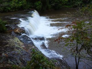 Hooker FallsShort graded trail in DuPont State Recreational ForestTransylvania County, NC
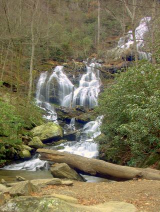 Catawba FallsLoop open; upper platform and Wildflower Trail closedMcDowell County, NC
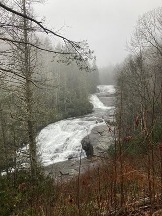 Triple FallsShort popular trail in DuPont State Recreational ForestTransylvania County, NC
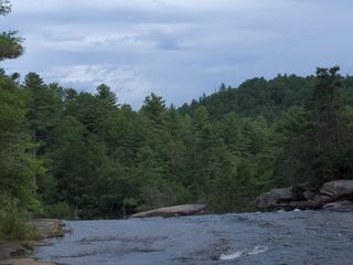 High FallsState forest trail; short walk to overlookTransylvania County, NC
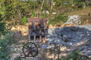 McGalliard FallsTown park with a short path; listed hours 8 AM to 8 PMBurke County, NC
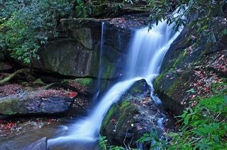 Cedar Rock FallsEstablished Forest Service trail with an unsigned side path; two firsthand sources agreeTransylvania County, NC
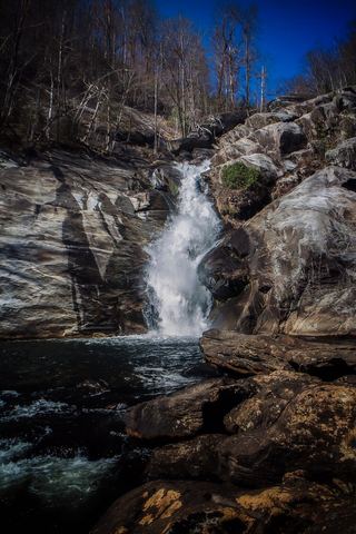 Windy FallsPartial guide: unofficial route to the top of a dangerous falls; trail name not in the current park trail list197 ft (60 m) · Transylvania County, NC
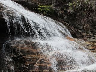 Yellowstone FallsNational forest trails, then a steep scramble path; base not recommended98 ft (30 m) · Haywood County, NC
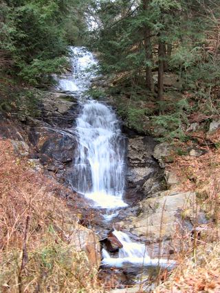 Walker FallsPartial guide: roadside falls on a road closed to vehicles since Hurricane Helene; walking distance unknownBuncombe County, NC
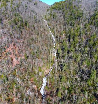 Corbin Creek FallsFee recreation area; maintained trail reaches only the lowest section of a long cascadeTransylvania County, NC
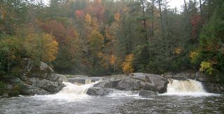 Upper Linville FallsBlue Ridge Parkway trail to an overlook; some nearby trails closedBurke County, NC
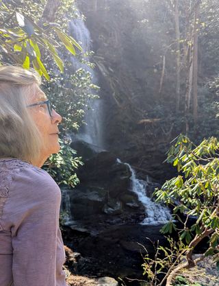 Upper Catawba FallsPartial: loop trail open; the Forest Service lists the upper viewing platform as closedMcDowell County, NC
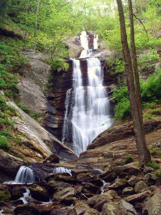 Toms Creek FallsCheck current trail conditionsMcDowell County, NC
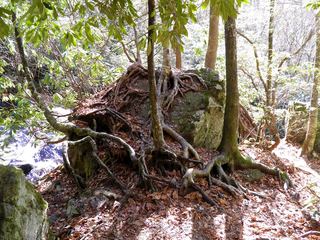 Mooney FallsResearched visit notesMacon County, NC
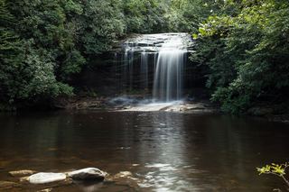 Schoolhouse FallsNational forest trailsJackson County, NC
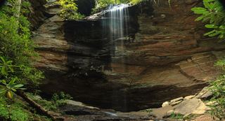 Upper Little Moore Cove FallsPartial guide: off-trail Class III bushwhack on an unofficial path beyond the Forest Service trailTransylvania County, NC
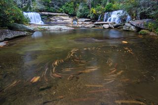 French Broad FallsPrivate land with permitted public access; short path documented by three accountsTransylvania County, NC
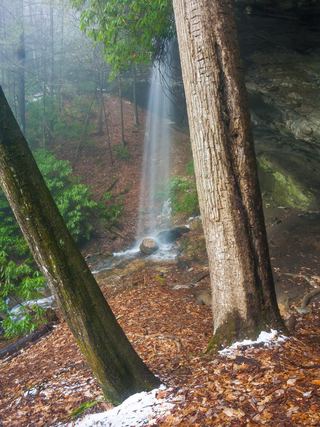 Picklesimer Rock House FallsEasy walk on a gated forest road in Nantahala National ForestMacon County, NC
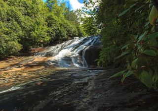 Warden FallsForest trails, then a steep scramble path to the baseJackson County, NC
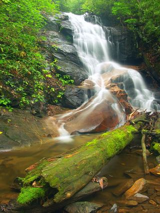 Upper Log Hollow FallsForest road walk and steep side path in Pisgah National ForestTransylvania County, NC
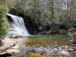 Upper Silver Run FallsShort trail, then a steep root climb and informal pathJackson County, NC
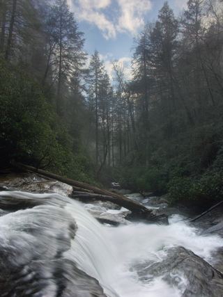 Secret FallsForest Service trail with steps to the base; road gated in winterMacon County, NC
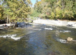 Nantahala FallsShort walk to a riverside view at an outfitter; main deck reservedSwain County, NC
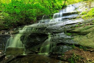 Barnett Branch Trail FallsShort national forest trail walk to fallsTransylvania County, NC
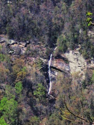 Rainbow FallsDistant view only from Inspiration Point; admission fee; falls not open to the publicRutherford County, NC
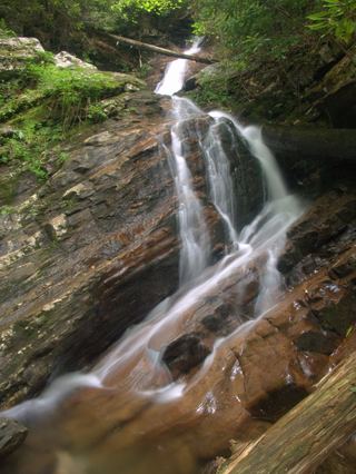 Bull Cove FallsWilderness trail with a creek crossing from a forest road trailheadClay County, NC
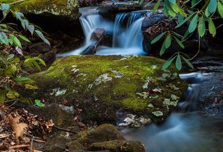 Lower Slick Rock FallsNational forest; short informal pathTransylvania County, NC
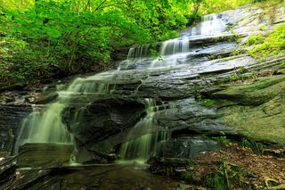 Little Barnett Branch Trail FallsPartial: maintained trail; the sources do not name this upper fallsTransylvania County, NC
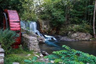 Lake Louise FallsPartial: town park path; exact waterfall spot not describedBuncombe County, NC
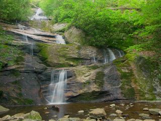 Setrock Creek FallsShort Forest Service trail from Black Mountain CampgroundYancey County, NC
410 ft (125 m) · Transylvania County, NC
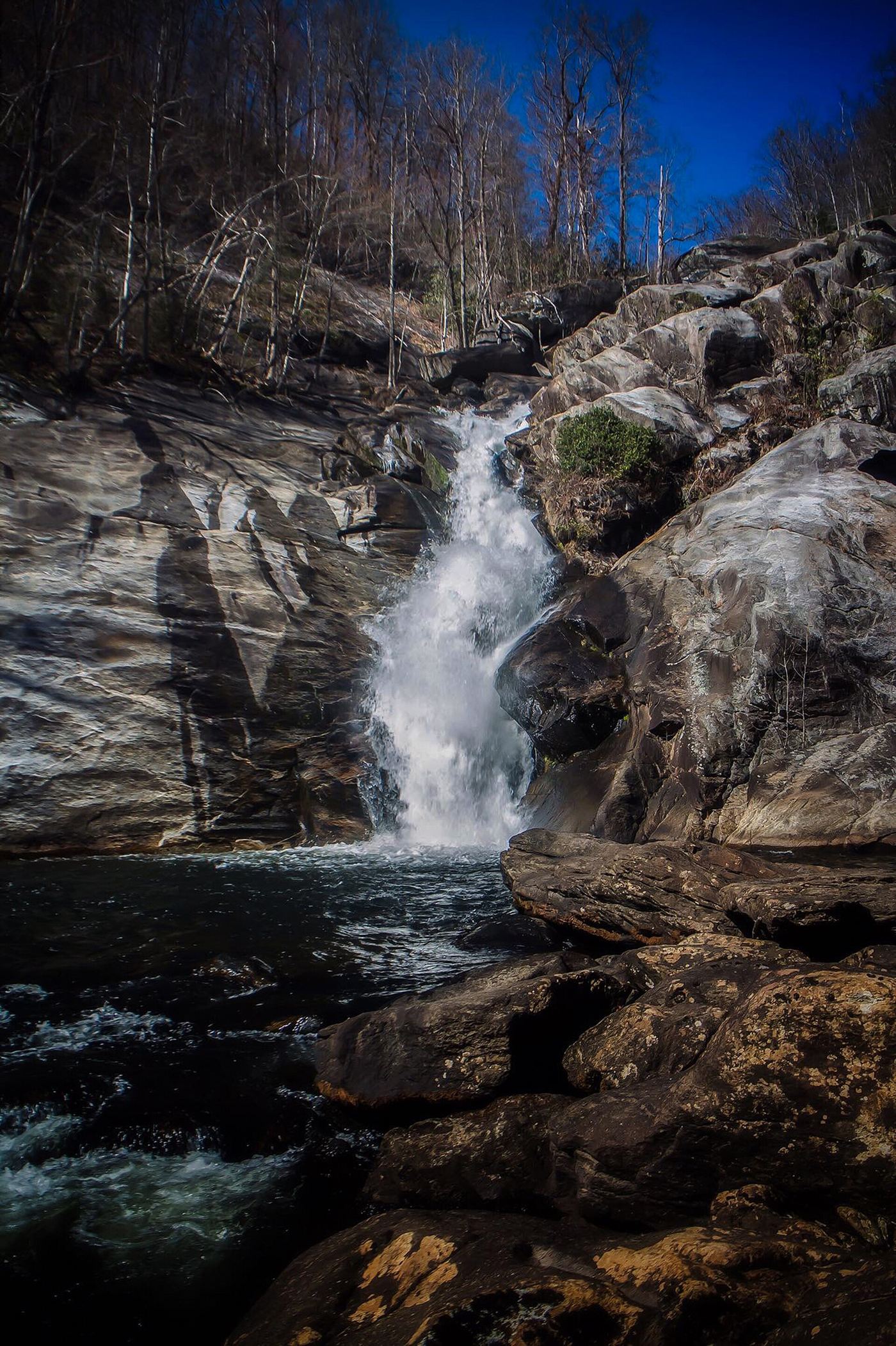
197 ft (60 m) · Transylvania County, NC
About 120 ft · Swain County, NC
Barnett Branch Trail FallsShort national forest trail walk to fallsTransylvania CountyCedar Rock FallsEstablished Forest Service trail with an unsigned side path; two firsthand sources agreeTransylvania CountyCorbin Creek FallsFee recreation area; maintained trail reaches only the lowest section of a long cascadeTransylvania CountyCourthouse FallsApproach road closed due to storm damage; no open parking-to-falls route verified.33 ft (10 m) · Transylvania CountyFrench Broad FallsPrivate land with permitted public access; short path documented by three accountsTransylvania CountyHigh FallsState forest trail; short walk to overlookTransylvania CountyHooker FallsShort graded trail in DuPont State Recreational ForestTransylvania CountyLittle Barnett Branch Trail FallsPartial: maintained trail; the sources do not name this upper fallsTransylvania CountyLittle Moore Cove FallsNational forest trail and short informal side path; post-Helene condition unverified26 ft (8 m) · Transylvania CountyLog Hollow FallsGated forest road walk; easyTransylvania CountyLooking Glass FallsResearched visit notes59 ft (18 m) · Transylvania CountyLower Slick Rock FallsNational forest; short informal pathTransylvania CountyMoore Cove FallsResearched visit notes49 ft (15 m) · Transylvania County Shoal Creek FallsTransylvania CountySlick Rock FallsPossible road-access closure: confirm FS 475B access and parking before visiting.Transylvania CountySliding RockSource-reviewed route and parkingTransylvania CountyTriple FallsShort popular trail in DuPont State Recreational ForestTransylvania CountyUpper Little Moore Cove FallsPartial guide: off-trail Class III bushwhack on an unofficial path beyond the Forest Service trailTransylvania CountyUpper Log Hollow FallsForest road walk and steep side path in Pisgah National ForestTransylvania County
 Upper Moore Cove FallsTransylvania CountyUpper Whitewater FallsResearched visit notes410 ft (125 m) · Transylvania CountyWindy FallsPartial guide: unofficial route to the top of a dangerous falls; trail name not in the current park trail list197 ft (60 m) · Transylvania County
 Robinson Creek FallsJackson CountySchoolhouse FallsNational forest trailsJackson CountySilver Run FallsResearched walking route26 ft (8 m) · Jackson CountySoco FallsShort marked trail from the new EBCI parking areaJackson CountyUpper Silver Run FallsShort trail, then a steep root climb and informal pathJackson County
 Verde FallsJackson CountyWarden FallsForest trails, then a steep scramble path to the baseJackson CountyBridal Veil FallsPull-off verified; pedestrian approach unspecified60 ft (18.3 m) · Macon CountyDry FallsResearched visit notesMacon CountyMooney FallsResearched visit notesMacon CountyPicklesimer Rock House FallsEasy walk on a gated forest road in Nantahala National ForestMacon CountySecret FallsForest Service trail with steps to the base; road gated in winterMacon CountyYellowstone FallsNational forest trails, then a steep scramble path; base not recommended98 ft (30 m) · Haywood CountyMingo FallsResearched visit notesAbout 120 ft · Swain CountyNantahala FallsShort walk to a riverside view at an outfitter; main deck reservedSwain County
 Big Bear FallsBurke CountyLinville FallsResearched visit notesBurke CountyMcGalliard FallsTown park with a short path; listed hours 8 AM to 8 PMBurke CountyUpper Linville FallsBlue Ridge Parkway trail to an overlook; some nearby trails closedBurke CountyPearson's FallsAdvance reservation required89 ft (27 m) · Polk CountyCrabtree FallsTrail listed closed66 ft (20 m) · Yancey CountySetrock Creek FallsShort Forest Service trail from Black Mountain CampgroundYancey CountyElk River FallsSource-reviewed route and parking49 ft (15 m) · Avery County
 Bear Den FallsMcDowell CountyCatawba FallsLoop open; upper platform and Wildflower Trail closedMcDowell CountyToms Creek FallsCheck current trail conditionsMcDowell CountyUpper Catawba FallsPartial: loop trail open; the Forest Service lists the upper viewing platform as closedMcDowell CountyHickory Nut FallsState park trail with admission fee; official trail descriptionRutherford CountyRainbow FallsDistant view only from Inspiration Point; admission fee; falls not open to the publicRutherford CountyDouglas FallsGraybeard approach documented; Big Ivy road approach has a motor-vehicle closure.Buncombe CountyGlassmine FallsOverlook approach verified; no public access to the waterfallBuncombe CountyLake Louise FallsPartial: town park path; exact waterfall spot not describedBuncombe CountyWalker FallsPartial guide: roadside falls on a road closed to vehicles since Hurricane Helene; walking distance unknownBuncombe CountyBull Cove FallsWilderness trail with a creek crossing from a forest road trailheadClay County