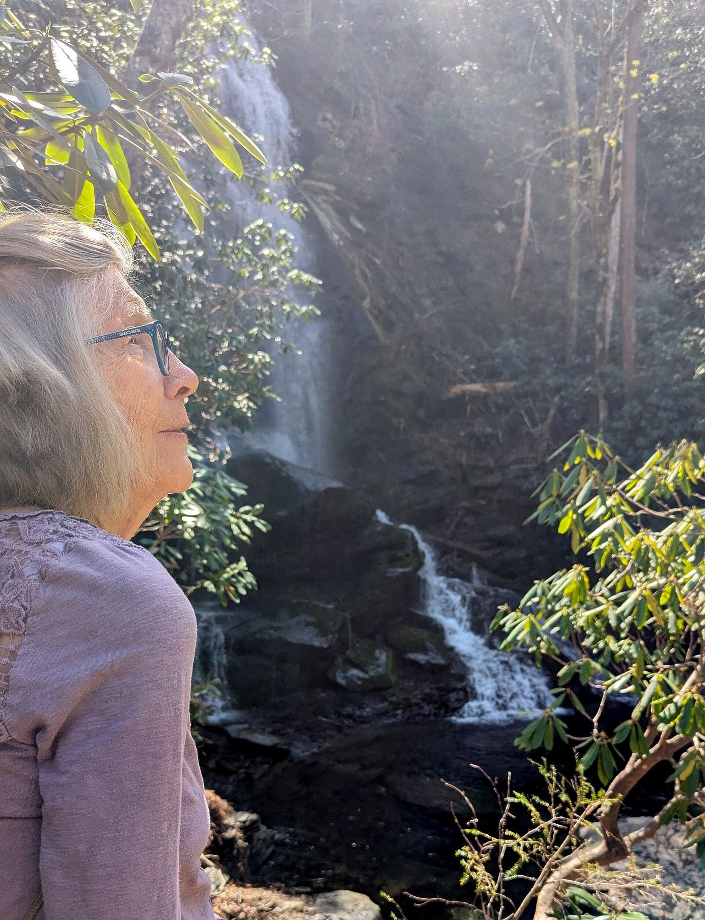
Waterfalls near Black Mountain, NC
107 named waterfalls within 30 miles of Black Mountain, closest first. Distances are straight-line from the town center.
Visits with route details
Read the walking route, starting point and current access notes.
- Davids FallsNational forest trail; river crossings on the spurMcDowell County, NC
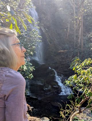 Upper Catawba FallsPartial: loop trail open; the Forest Service lists the upper viewing platform as closedMcDowell County, NC
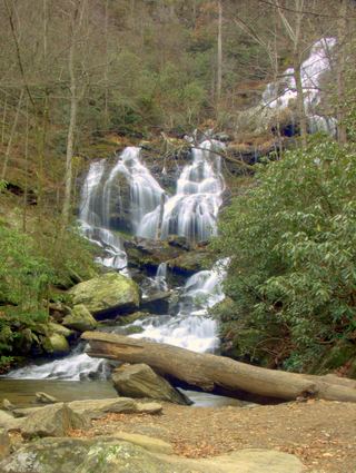 Catawba FallsLoop open; upper platform and Wildflower Trail closedMcDowell County, NC
- Lower Catawaba FallsNational forest trail; view from the trail onlyMcDowell County, NC
- Graybeard FallsPrivate conservation land open to hikers; blazed trailBuncombe County, NC
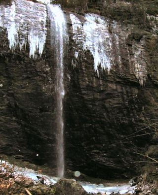 Douglas FallsGraybeard approach documented; Big Ivy road approach has a motor-vehicle closure.Buncombe County, NC
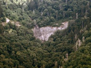 Glassmine FallsOverlook approach verified; no public access to the waterfallBuncombe County, NC
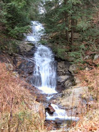 Walker FallsPartial guide: roadside falls on a road closed to vehicles since Hurricane Helene; walking distance unknownBuncombe County, NC
- Little Bearwallow FallsPartial guide: usual trailhead closed after Helene; long alternative with restricted road accessBuncombe County, NC
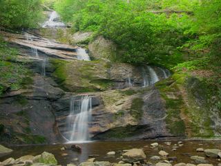 Setrock Creek FallsShort Forest Service trail from Black Mountain CampgroundYancey County, NC
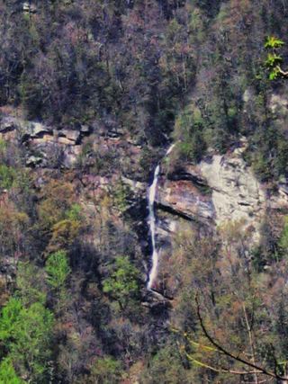 Rainbow FallsDistant view only from Inspiration Point; admission fee; falls not open to the publicRutherford County, NC
- Roaring Fork FallsSource-reviewed route and parkingYancey County, NC
- Falling Water Branch FallsPartial guide: no built trail, steep overgrown grades, route uncertain after Helene, parking not formalizedYancey County, NC
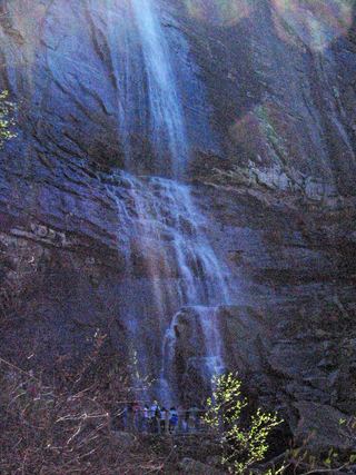 Hickory Nut FallsState park trail with admission fee; official trail descriptionRutherford County, NC
- Buck Creek FallsPartial guide: obscured roadside view of a private waterfall; parking permission at the gate not confirmedMcDowell County, NC
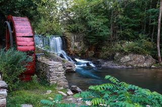 Lake Louise FallsPartial: town park path; exact waterfall spot not describedBuncombe County, NC
- Whiteoak Creek FallsShort paths from the end of a county road to a national forest waterfallYancey County, NC
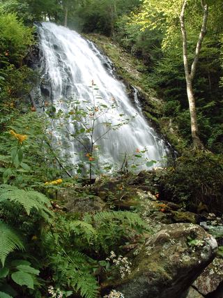 Crabtree FallsTrail listed closed66 ft (20 m) · Yancey County, NC
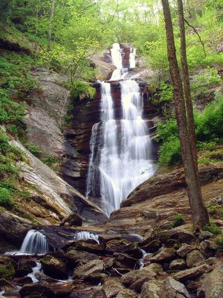 Toms Creek FallsCheck current trail conditionsMcDowell County, NC
- Bon Ami FallsPrivate mine attraction with roadside overlook; fee for the mine tourMitchell County, NC
- Upper Hungry River FallsRoadside view and short path on Green River Game LandHenderson County, NC
- Turtle Rock FallsPartial guide: informal route from one visitor description; parking not describedPolk County, NC
- Lower Hungry River FallsPartial guide: post-Helene route goes down a landslide; conditions last checked late 2024Henderson County, NC
- Case FallsPartial guide: hiker parking at the turnaround is not confirmed and post-storm conditions are unreportedHenderson County, NC
- Briefcase FallsPartial guide: bushwhack finish, hiker parking permission uncertain, storm damage unverifiedHenderson County, NC
- Emily FallsGame land trail; short easy walkPolk County, NC
- Milton Bradley FallsPartial: access road closed after Helene; route documented before the stormPolk County, NC
- Marilou Bradley FallsPartial: pre-Helene route; access road under repairPolk County, NC
- Pulliam Creek FallsPartial guide: the last stretch up Pulliam Creek and current game land access are not confirmedPolk County, NC
- Stairstep FallsGame land trails with a creek crossing and steep scramblePolk County, NC
- Sunshine FallsGame land trail and extremely steep roped path to the riverPolk County, NC
- Fungi FallsPartial guide: permission to walk the gated road past private land is unconfirmed; no trail; post-storm status unknownPolk County, NC
- Big Bradley FallsWritten approval required; trail organization reports Helene closure75 ft (23 m) · Polk County, NC
- Fishtop FallsPartial: short game land path; access road status after Helene unconfirmedPolk County, NC
- Shunkawauken FallsPrivate property; roadside view only148 ft (45 m) · Polk County, NC
- Little Bradley FallsPolk Trails marks the trail open; creek crossings required.49 ft (15 m) · Polk County, NC
- Bee Branch FallsNational forest trail plus a short off-trail sectionHenderson County, NC
- Slate Rock Creek FallsPartial guide: road to the trailhead listed as closed after Hurricane HeleneHenderson County, NC
- Bell Park FallsCounty park trail and stairs to an observation deckHenderson County, NC
- Melrose FallsPartial guide: open trail, but road access affected by the US 176 closurePolk County, NC
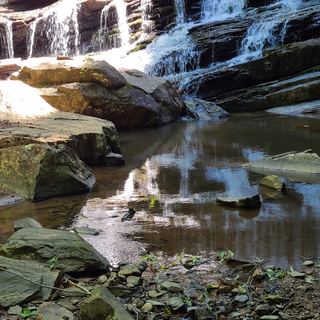 Pearson's FallsAdvance reservation required89 ft (27 m) · Polk County, NC
- Bradley Creek FallsPartial guide: the last stretch is off trail with no marked path, and road access to the trailhead may be closedTransylvania County, NC
- Sillers FallsShort path on a town greenwayPolk County, NC
- Big Creek FallsRoadside waterfall with pullout and short bank pathYancey County, NC
- Billy Branch FallsGated forest road and riverside trail; unmarked side path at the endTransylvania County, NC
- High FallsPartial guide: unofficial path and river wade; trail beyond Billy Branch not checked since HeleneTransylvania County, NC
Closest with a photo
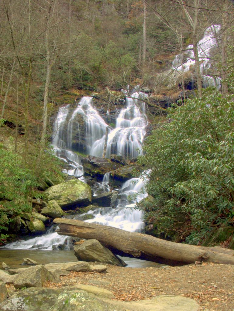
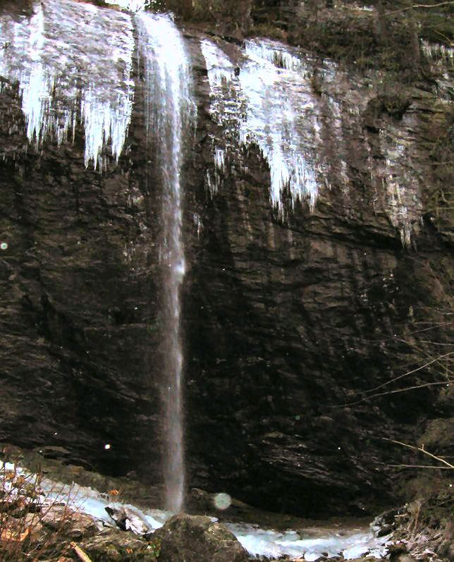
All 107 waterfalls
- Davids FallsNational forest trail; river crossings on the spurMcDowell County, NC3.9 miE
- Upper Catawba FallsPartial: loop trail open; the Forest Service lists the upper viewing platform as closedMcDowell County, NC4.3 miE
- Catawba FallsLoop open; upper platform and Wildflower Trail closedMcDowell County, NC4.4 miE
- Lower Catawaba FallsNational forest trail; view from the trail onlyMcDowell County, NC4.4 miE
- Graybeard FallsPrivate conservation land open to hikers; blazed trailBuncombe County, NC4.4 miNE
- Cascades FallsBuncombe County, NC7.2 miNW
- Douglas FallsGraybeard approach documented; Big Ivy road approach has a motor-vehicle closure.Buncombe County, NC7.7 miNW
- Glassmine FallsOverlook approach verified; no public access to the waterfallBuncombe County, NC8.1 miN
- Slick FallsMcDowell County, NC8.2 miNE
- Hickory Branch FallsMcDowell County, NC9.1 miNE
- Tom's FallsBuncombe County, NC9.1 miS
- Broad River FallsBuncombe County, NC9.4 miS
- Licklog Branch FallsMcDowell County, NC9.4 miNE
- Walker FallsPartial guide: roadside falls on a road closed to vehicles since Hurricane Helene; walking distance unknownBuncombe County, NC9.7 miN
- Curtis Creek FallsMcDowell County, NC10 miNE
- Little Bearwallow FallsPartial guide: usual trailhead closed after Helene; long alternative with restricted road accessBuncombe County, NC10 miS
- Setrock Creek FallsShort Forest Service trail from Black Mountain CampgroundYancey County, NC11 miNE
- Standing Rock FallsMcDowell County, NC11 miSE
- Camp Minnehaha FallsBuncombe County, NC11 miS
- Middle Fork Rock Creek Falls79 ft (24 m) · Yancey County, NC11 miN
- Mitchell Falls33 ft (10 m) · Yancey County, NC11 miN
- Bead and Lace FallsHenderson County, NC12 miS
- Rainbow FallsDistant view only from Inspiration Point; admission fee; falls not open to the publicRutherford County, NC12 miS
- Roaring Fork FallsSource-reviewed route and parkingYancey County, NC12 miNE
- Silver FallsRutherford County, NC13 miS
- Galvladi FallsYancey County, NC13 miN
- Middle Creek FallsYancey County, NC13 miN
- Squawroot FallsYancey County, NC13 miN
- Lower Middle Creek FallsYancey County, NC13 miN
- Falling Water Branch FallsPartial guide: no built trail, steep overgrown grades, route uncertain after Helene, parking not formalizedYancey County, NC13 miN
- Anaconda FallsYancey County, NC13 miN
- Timber FallsYancey County, NC13 miN
- Guyot FallsYancey County, NC13 miN
- Split Rock FallsYancey County, NC13 miN
- Crevice FallsYancey County, NC13 miN
- Hickory Nut FallsState park trail with admission fee; official trail descriptionRutherford County, NC13 miS
- Puncheon Camp Creek FallsHenderson County, NC14 miS
- Bottomless PoolsRutherford County, NC14 miS
- Wolf Creek FallsRutherford County, NC14 miS
- Buck Creek FallsPartial guide: obscured roadside view of a private waterfall; parking permission at the gate not confirmedMcDowell County, NC14 miNE
- Lake Louise FallsPartial: town park path; exact waterfall spot not describedBuncombe County, NC15 miW
- Locust Creek FallsYancey County, NC15 miN
- Camp Celo FallsYancey County, NC15 miNE
- Pool Creek FallsRutherford County, NC15 miS
- Upper Pool Creek FallsRutherford County, NC15 miS
Show the other 62 waterfalls, 15 mi to 30 mi away
- Upper Whiteoak Creek FallsYancey County, NC15 miN
- Whiteoak Creek FallsShort paths from the end of a county road to a national forest waterfallYancey County, NC15 miN
- Reems Creek FallsBuncombe County, NC17 miW
- Crabtree FallsTrail listed closed66 ft (20 m) · Yancey County, NC17 miNE
- Toms Creek FallsCheck current trail conditionsMcDowell County, NC18 miNE
- Bon Ami FallsPrivate mine attraction with roadside overlook; fee for the mine tourMitchell County, NC19 miNE
- Oleta FallsHenderson County, NC19 miS
- Grassy Creek FallsMitchell County, NC21 miNE
- Game Land FallsPolk County, NC21 miS
- Upper Hungry River FallsRoadside view and short path on Green River Game LandHenderson County, NC22 miS
- Green Grotto FallsPolk County, NC22 miS
- Turtle Rock FallsPartial guide: informal route from one visitor description; parking not describedPolk County, NC22 miS
- Rainy FallsPolk County, NC22 miS
- Lower Hungry River FallsPartial guide: post-Helene route goes down a landslide; conditions last checked late 2024Henderson County, NC23 miS
- Case FallsPartial guide: hiker parking at the turnaround is not confirmed and post-storm conditions are unreportedHenderson County, NC23 miS
- Briefcase FallsPartial guide: bushwhack finish, hiker parking permission uncertain, storm damage unverifiedHenderson County, NC23 miS
- Emily FallsGame land trail; short easy walkPolk County, NC23 miS
- Milton Bradley FallsPartial: access road closed after Helene; route documented before the stormPolk County, NC23 miS
- Marilou Bradley FallsPartial: pre-Helene route; access road under repairPolk County, NC23 miS
- Lower Cavern FallsPolk County, NC23 miS
- Bradley Cooper FallsPolk County, NC23 miS
- Cavern FallsPolk County, NC23 miS
- Turley FallsHenderson County, NC23 miSW
- Pulliam Creek FallsPartial guide: the last stretch up Pulliam Creek and current game land access are not confirmedPolk County, NC23 miS
- Stairstep FallsGame land trails with a creek crossing and steep scramblePolk County, NC23 miS
- Sunshine FallsGame land trail and extremely steep roped path to the riverPolk County, NC24 miS
- Loobie FallsPolk County, NC24 miS
- Fungi FallsPartial guide: permission to walk the gated road past private land is unconfirmed; no trail; post-storm status unknownPolk County, NC24 miS
- Big Bradley FallsWritten approval required; trail organization reports Helene closure75 ft (23 m) · Polk County, NC24 miS
- Fishtop FallsPartial: short game land path; access road status after Helene unconfirmedPolk County, NC24 miS
- Edge of the World FallsHenderson County, NC24 miS
- Shunkawauken FallsPrivate property; roadside view only148 ft (45 m) · Polk County, NC25 miS
- Lower Horse Creek FallsPolk County, NC25 miS
- Little Bradley FallsPolk Trails marks the trail open; creek crossings required.49 ft (15 m) · Polk County, NC25 miS
- Powerhouse FallsHenderson County, NC26 miS
- Johnny Tiller FallsHenderson County, NC26 miSW
- Bee Branch FallsNational forest trail plus a short off-trail sectionHenderson County, NC26 miSW
- Slate Rock Creek FallsPartial guide: road to the trailhead listed as closed after Hurricane HeleneHenderson County, NC26 miSW
- Lake FallsHenderson County, NC26 miS
- Bell Park FallsCounty park trail and stairs to an observation deckHenderson County, NC27 miS
- Stillhouse FallsMcDowell County, NC27 miNE
- Hemlock ShoalsPolk County, NC27 miS
- Melrose FallsPartial guide: open trail, but road access affected by the US 176 closurePolk County, NC27 miS
- Upper Melrose FallsPolk County, NC28 miS
- Big Fall Creek FallsPolk County, NC28 miS
- Pearson's FallsAdvance reservation required89 ft (27 m) · Polk County, NC28 miS
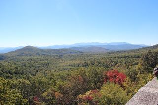 Bear Den FallsMcDowell County, NC28 miNE
- Bradley Creek FallsPartial guide: the last stretch is off trail with no marked path, and road access to the trailhead may be closedTransylvania County, NC28 miSW
- Leland FallsHenderson County, NC28 miS
- Pacolet FallsHenderson County, NC28 miS
- Somey Creek FallsRutherford County, NC28 miE
- Lower Thompson Ridge FallsTransylvania County, NC29 miSW
- Upper Thompson Ridge FallsTransylvania County, NC29 miSW
- English FallsMcDowell County, NC29 miNE
- Sillers FallsShort path on a town greenwayPolk County, NC29 miS
- Sitton Creek FallsTransylvania County, NC29 miSW
- Big Creek FallsRoadside waterfall with pullout and short bank pathYancey County, NC29 miN
- Laurel Leap FallsMcDowell County, NC29 miNE
- Billy Branch FallsGated forest road and riverside trail; unmarked side path at the endTransylvania County, NC29 miSW
- Resurrection FallsRutherford County, NC30 miE
- High FallsPartial guide: unofficial path and river wade; trail beyond Billy Branch not checked since HeleneTransylvania County, NC30 miSW
- Sutton FallsTransylvania County, NC30 miSW