Slate Rock Creek Falls
Henderson County, North Carolina
Your visit at a glance
- Waterfall height
- Not recorded
- Location
- Henderson County, North Carolina
- Access status
- Partial guide: road to the trailhead listed as closed after Hurricane Helene
- The walk
- About 1.5 miles return
- Ground & access
- Fairly easy trail shared with mountain bikes, with steps and small stream crossings. Steep, slippery scramble to the base.
Vehicle access is currently in doubt: the Forest Service lists Yellow Gap Road closed from Wolf Ford Horse Camp to North Mills River Campground, and this trailhead appears to lie in that section. When open, the trail starts just over the bridge, marked for the Pilot Cove/Slate Rock loop. It climbs some steps beside small cascades, crosses two small tributaries, and reaches a 20-foot waterfall visible from the trail. The route description asks visitors to avoid the eroded scramble path and instead go back 15 to 20 yards toward the tributary to scramble down to the creek.
Plan your visit
Pilot Cove/Slate Rock trailhead on Yellow Gap Road (FS 1206) to the waterfall on Slate Rock Creek
An older NC Waterfalls page calls it a fairly easy three quarters of a mile, apparently one way. Same trail both ways.
Fairly easy trail shared with mountain bikes, with steps and small stream crossings. Steep, slippery scramble to the base.
Where to start
The legacy account gives the trailhead 6.8 miles along gravel FS 1206 (Yellow Gap Road) from US 276, on the left just over the bridge. Park where you will not block others. This part of the road is listed as closed.
Timing & water
Yellow Gap Road is listed by the Forest Service as closed between Wolf Ford Horse Camp and North Mills River Campground after Hurricane Helene. Check with the Pisgah Ranger District before going.
Before you go
Current fees and reservation requirements unknown.
Visitor informationVisit sources
More waterfalls nearby
Within 40 straight-line miles. Road and trail distances will differ.
- Johnny Tiller FallsHenderson County, NC0.3 miSE
- Bee Branch FallsNational forest trail plus a short off-trail sectionHenderson County, NC2.3 miNW
- Bradley Creek FallsPartial guide: the last stretch is off trail with no marked path, and road access to the trailhead may be closedTransylvania County, NC2.5 miW
- Lower Thompson Ridge FallsTransylvania County, NC2.9 miW
- Upper Thompson Ridge FallsTransylvania County, NC3.0 miW
- Billy Branch FallsGated forest road and riverside trail; unmarked side path at the endTransylvania County, NC3.4 miSW
- High FallsPartial guide: unofficial path and river wade; trail beyond Billy Branch not checked since HeleneTransylvania County, NC3.7 miSW
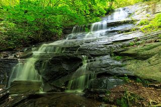 Barnett Branch Trail FallsShort national forest trail walk to fallsTransylvania County, NC4.7 miW
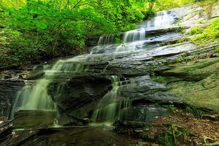 Little Barnett Branch Trail FallsPartial: maintained trail; the sources do not name this upper fallsTransylvania County, NC4.7 miW