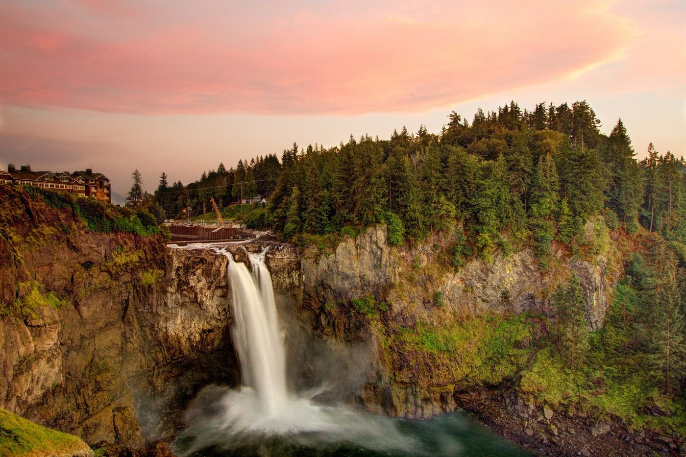
Washington
Snoqualmie Falls
About 200 ft from the paid lot
Choose the upper viewing platform for a short visit. The trail down to the lower deck is a separate, steep walk with a 250 ft drop and a climb back up.
Short walks, waterfall viewpoints, and the details that help you choose where to go.
4,543 mapped waterfalls across 48 states and Puerto Rico.

Distances are straight-line, not driving or trail distances.
2747 places with researched visit details. A short walk can still have steep steps.
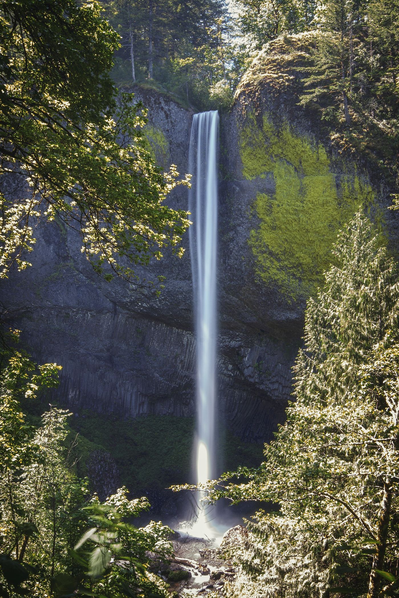
Washington
About 200 ft from the paid lot
Choose the upper viewing platform for a short visit. The trail down to the lower deck is a separate, steep walk with a 250 ft drop and a climb back up.
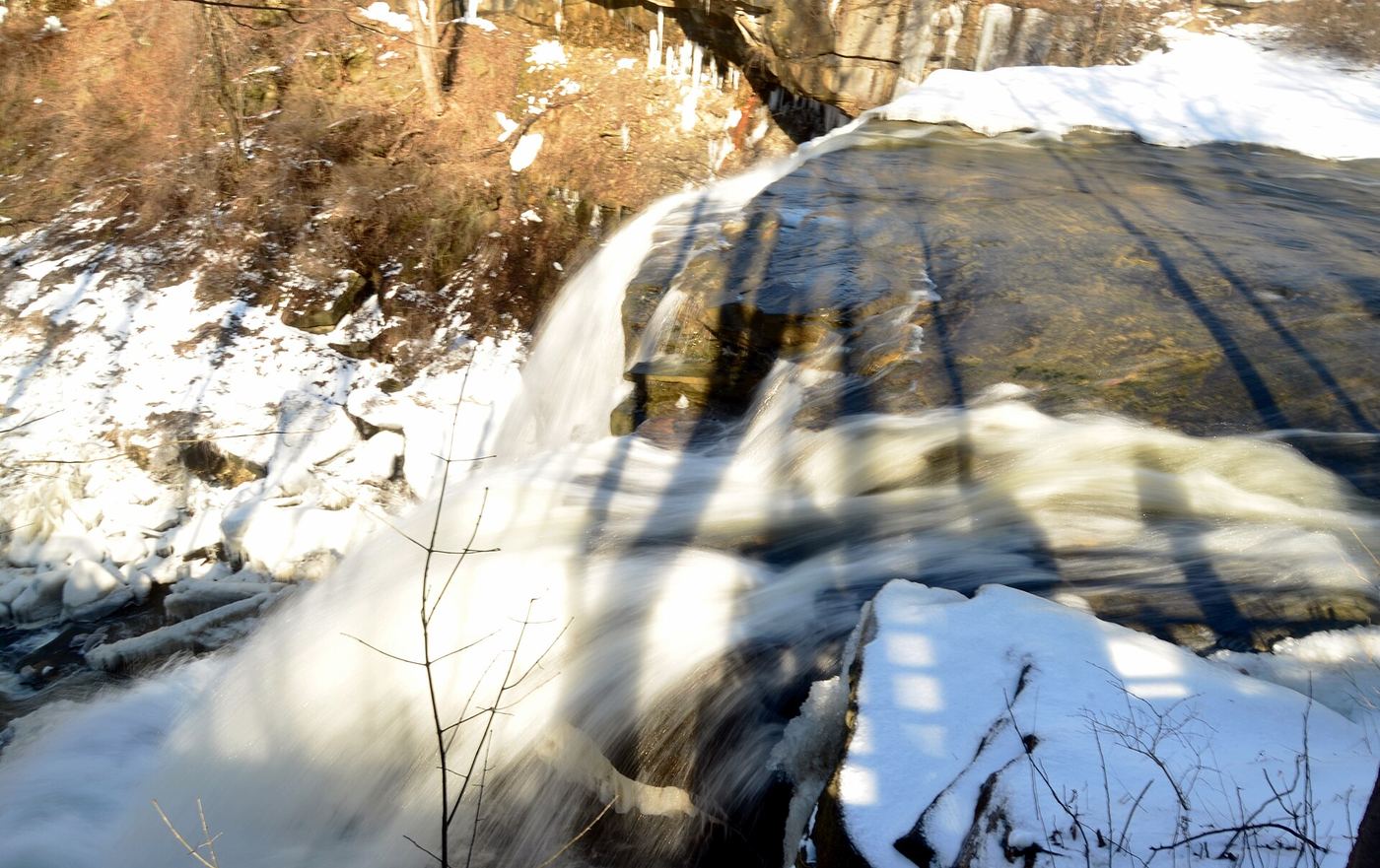
Ohio
Short boardwalk access
Take the short path to the upper boardwalk for a view of the falls. The 1.5-mile gorge loop is an optional longer walk, not the distance needed to see the waterfall.
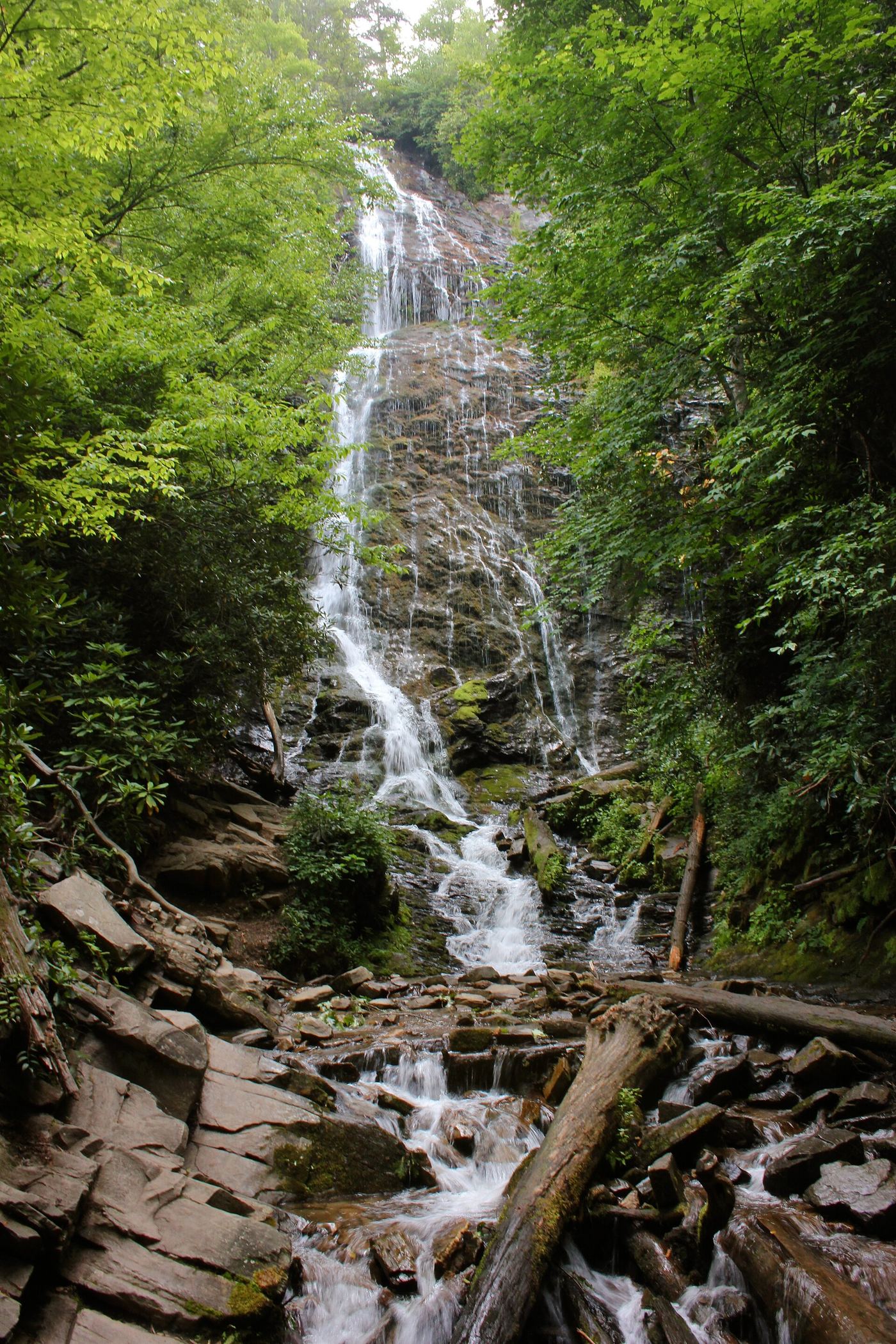
North Carolina
¼-mile hike with 161 steep steps
The walk is short, but the 161 steep steps are the main consideration. A wooden bridge provides the waterfall view at the top of the approach.
A map pin shows where the waterfall is. It does not tell you how to reach a viewpoint.
Use the visitor entrance or trailhead, not directions to the waterfall itself.
Mingo Falls has 161 steep steps. Snoqualmie's upper viewpoint is about 200 ft from its paid lot.
Lower Yosemite Fall is often dry in late summer. Park notices can also change a visit.
Separate the short waterfall view from the longer loop or uphill hike.
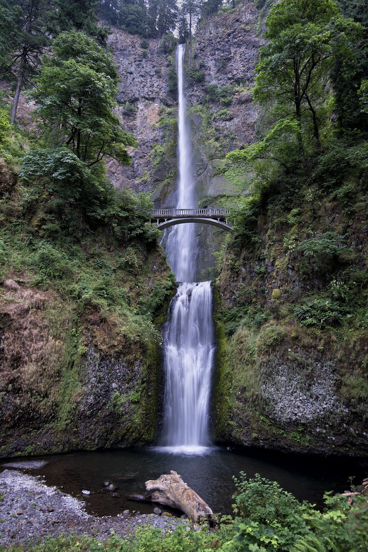
Oregon
¼-mile hike to the bridge
See both waterfall drops from below, or follow the paved trail up to Benson Bridge. The hike to the top is a separate, longer outing.
Oregon
Short base walk; 2-mile loop option
A short walk beneath the historic highway bridge reaches the base of the lower falls. Choose the loop only if you want a longer walk through the forest.
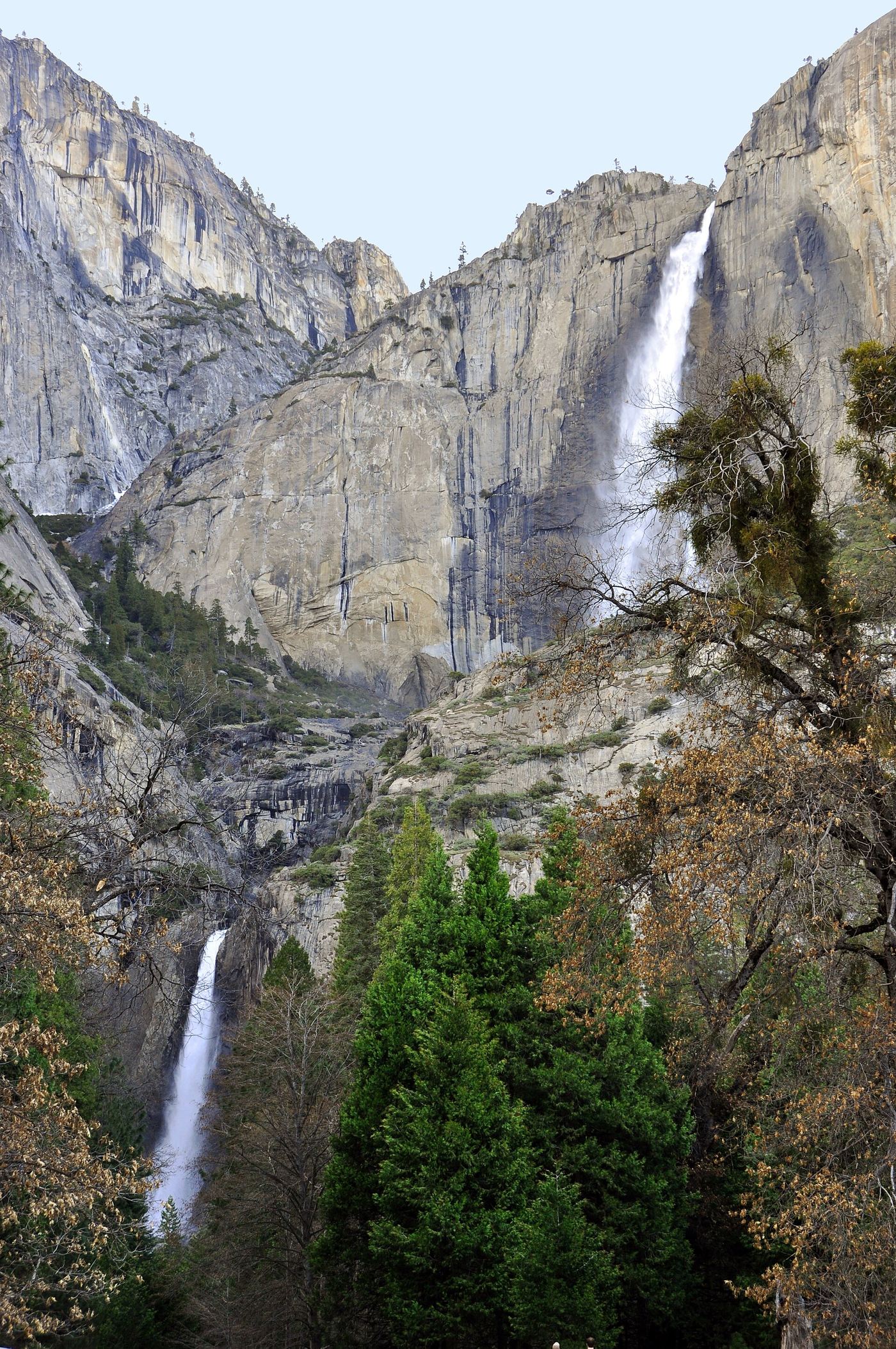
California
1-mile loop
This paved loop visits the base of the lower fall. It is a different route from the much longer hike to Upper Yosemite Fall.
Mapped waterfalls within 30 straight-line miles. These counts do not confirm public access.
Explore the full map directory, including Puerto Rico.