Waterfalls in Colorado
91 named waterfalls in 24 counties. Browse mapped locations and recorded heights. A map listing does not confirm public access or a walking route.
Visits with route details
Read the walking route, starting point and current access notes.
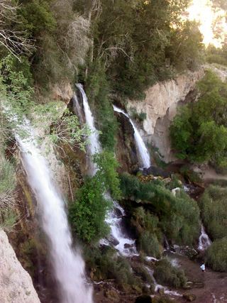 Rifle FallsResearched visit notesGarfield County, CO
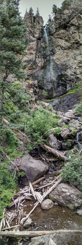 Treasure FallsRoute and parking documented; confirm current conditions.105 ft (32 m) · Mineral County, CO
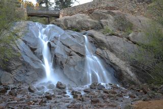 Helen Hunt FallsResearched visit notesEl Paso County, CO
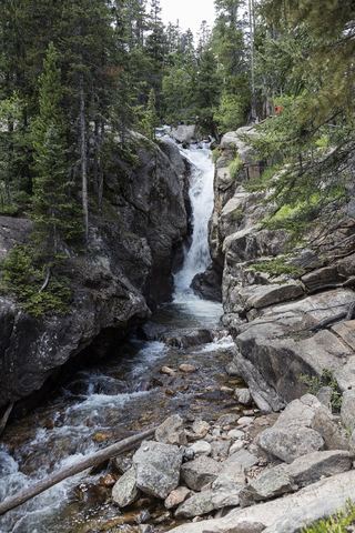 Chasm FallsPublished road parking and short path to viewing platform documented; road is seasonalLarimer County, CO
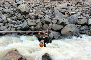 Boulder FallsTrail closed69 ft (21 m) · Boulder County, CO
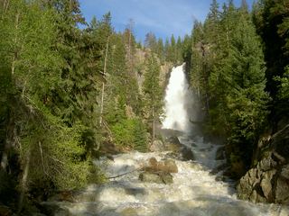 Fish Creek FallsResearched walking routeRoutt County, CO
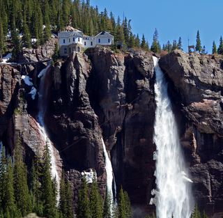 Bridal Veil FallsOfficial visitor route; winter hazards; distance not publishedSan Miguel County, CO
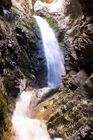 Zapata FallsResearched visit notesAlamosa County, CO
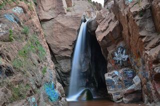 Rainbow FallsClosed for the season until 2027; shuttle access onlyEl Paso County, CO
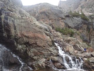 Timberline FallsPark trail route documented; Bear Lake Road reservations in seasonLarimer County, CO
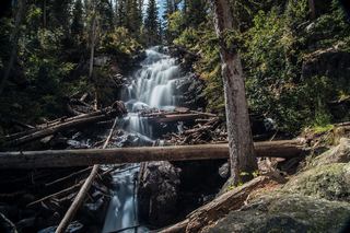 Fern FallsPublished trail distance, trailhead and park entry rules documentedLarimer County, CO
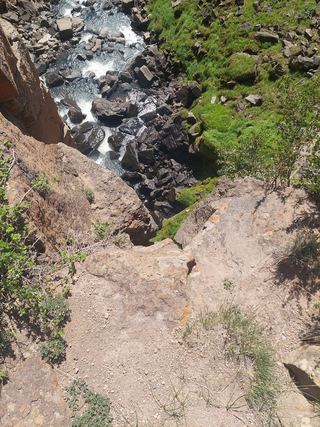 North Clear Creek FallsSource-reviewed route and parkingHinsdale County, CO
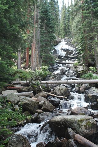 Calypso CascadesOfficial trail distance and park entry rules documentedBoulder County, CO
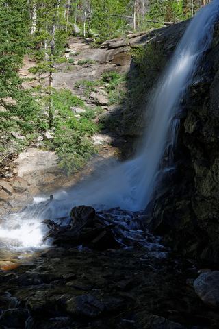 Bridal Veil FallsPark trail route and parking documented; entrance pass requiredLarimer County, CO
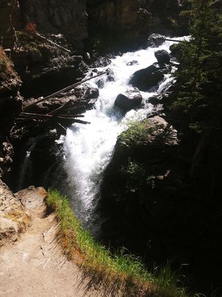 Adams FallsOfficial state trail map route and trailhead documented; park entry rules applyGrand County, CO
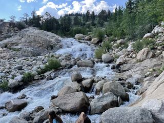 Horseshoe FallsOfficial accessible trail with falls view; entrance pass requiredLarimer County, CO
 Alberta FallsPublished trail distance, trailhead and park entry rules documentedLarimer County, CO
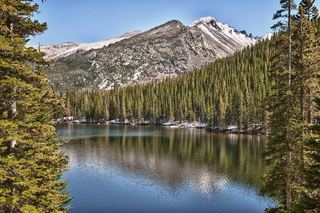 Glacier FallsPublished trail route with unmarked final spur; Bear Lake Road reservation season appliesLarimer County, CO
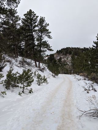 Horsetooth FallsPublished trail route and county trailhead documented; parking fee amount unconfirmedLarimer County, CO
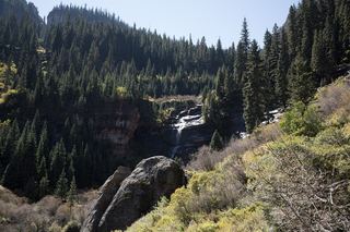 Bear Creek FallsOfficial trail route and distance documentedSan Miguel County, CO
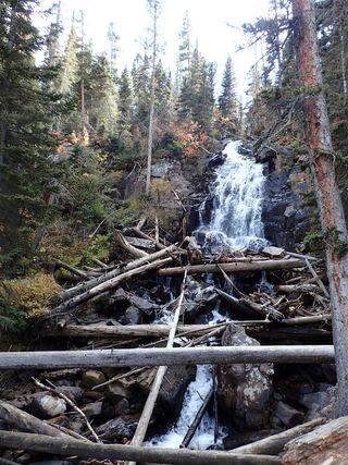 Marguerite FallsPartial guide: final section is an unmaintained social trail beside the creekLarimer County, CO
- Hidden FallsPartial guide: winter climbing approach only; exact distance and summer route unknownBoulder County, CO
- Ouzel FallsPublished trail route and trailhead parking documented; park entry rules applyBoulder County, CO
- East Vail FallsParking and short street walk documentedEagle County, CO
- Judd FallsResearched route and starting areaGunnison County, CO
- Willow Creek fallsPartial guide: Willowbrook distance and current parking permit rules not confirmedSummit County, CO
- Clear Creek FallsPublished route and trailhead documented; current trail condition unverifiedSan Juan County, CO
- Booth FallsRoute and parking documented; confirm current conditions.Eagle County, CO
- Continental FallsPublished trail route and trailhead documentedSummit County, CO
- North Inlet FallsPark trail route documented; long distance with conflicting mileageGrand County, CO
- Granite FallsOfficial trailhead and campsite distance documented; distances differ by sourceGrand County, CO
- Cascade FallsOfficial distance and published route; crosses private land on the old roadGrand County, CO
- Hayes Creek FallsPublished roadside pull-off and short path documentedPitkin County, CO
- Cascade FallsCity park route, parking and free entry documentedOuray County, CO
- Upper Ingram FallsPartial guide: upper and lower Ingram drops are not separated by any source; closer approach unconfirmedSan Miguel County, CO
- Lower Ingram FallsPartial guide: lower and upper Ingram drops are not separated by any source; closer approach unconfirmedSan Miguel County, CO
- Bear Creek FallsRoadside overlook with parking documentedOuray County, CO
- South Clear Creek FallsRoute and parking researchedHinsdale County, CO
- Upper Copeland FallsPublished trail route and trailhead parking documented; park entry rules applyBoulder County, CO
- Lower Copeland FallsPublished trail route and trailhead parking documented; park entry rules applyBoulder County, CO
- West Creek FallsPublished route, distance and parking documentedLarimer County, CO
- Ribbon FallsPublished trail route and trailhead documented; Bear Lake Road reservation season appliesLarimer County, CO
- Copeland FallsPublished trail distance and park entry rules documentedBoulder County, CO
- Maxwell FallsRoute and parking researchedJefferson County, CO
- Windy Gulch CascadesPublished visitor route documented; final section is an unmaintained social pathLarimer County, CO
- MacGregor FallsPartial guide: one undated visitor account; an unmarked connector and current trail condition are unconfirmedLarimer County, CO
- Cataract FallsResearched route and starting areaSummit County, CO
- Grace FallsPublished trail viewpoint documented; base of falls not recommendedLarimer County, CO
- Lyric FallsPartial guide: last 0.75 mile is an unmaintained social trail with no markerBoulder County, CO
- Disappointment FallsSource-reviewed trail junctions and parkingLarimer County, CO
- Fish Creek Upper FallsPublished route, distance and day-use fee documentedRoutt County, CO
- Fan FallsPartial guide: final section is unmarked social trails above Thunder LakeBoulder County, CO
- Lost FallsPartial guide: final approach is on hidden social trails off the main trailLarimer County, CO
- Piedra FallsResearched route and starting areaMineral County, CO
- Browns Creek FallsPublished trail route and trailhead documentedChaffee County, CO
- Bridal VeilOfficial access, walk, hours and admission documented; private attractionEl Paso County, CO
- HullOfficial access, walk, hours and admission documented; private attractionEl Paso County, CO
- WeimerOfficial access, walk, hours and admission documented; private attractionEl Paso County, CO
- Columbine FallsPark trail with falls views documented; entrance pass requiredLarimer County, CO
- Elk FallsOfficial route and distance documentedPark County, CO
- Venable FallsVisitor route to falls spur documented; distance to falls derivedCuster County, CO
Closest to you
Recorded waterfall heights
Waterfalls near a town
By county
Larimer County 22
- Alberta FallsPublished trail distance, trailhead and park entry rules documentedLarimer County
- Beaver FallsLarimer County
- Big South FallsLarimer County
- Bridal Veil FallsPark trail route and parking documented; entrance pass requiredLarimer County
- Chasm FallsPublished road parking and short path to viewing platform documented; road is seasonalLarimer County
- Columbine FallsPark trail with falls views documented; entrance pass requiredLarimer County
- Disappointment FallsSource-reviewed trail junctions and parkingLarimer County
- Fern FallsPublished trail distance, trailhead and park entry rules documentedLarimer County
- Fox Creek FallsLarimer County
- Glacier FallsPublished trail route with unmarked final spur; Bear Lake Road reservation season appliesLarimer County
- Grace FallsPublished trail viewpoint documented; base of falls not recommendedLarimer County
- Grouse Hollow FallsLarimer County
- Horseshoe FallsOfficial accessible trail with falls view; entrance pass requiredLarimer County
- Horsetooth FallsPublished trail route and county trailhead documented; parking fee amount unconfirmedLarimer County
- Lost FallsPartial guide: final approach is on hidden social trails off the main trailLarimer County
- MacGregor FallsPartial guide: one undated visitor account; an unmarked connector and current trail condition are unconfirmedLarimer County
- Marguerite FallsPartial guide: final section is an unmaintained social trail beside the creekLarimer County
- Ribbon FallsPublished trail route and trailhead documented; Bear Lake Road reservation season appliesLarimer County
- Thousand FallsLarimer County
- Timberline FallsPark trail route documented; Bear Lake Road reservations in seasonLarimer County
- West Creek FallsPublished route, distance and parking documentedLarimer County
- Windy Gulch CascadesPublished visitor route documented; final section is an unmaintained social pathLarimer County
Boulder County 12
- Boulder FallsTrail closed69 ft (21 m) · Boulder County
- Calypso CascadesOfficial trail distance and park entry rules documentedBoulder County
- Copeland FallsPublished trail distance and park entry rules documentedBoulder County
- Fan FallsPartial guide: final section is unmarked social trails above Thunder LakeBoulder County
- Hidden FallsPartial guide: winter climbing approach only; exact distance and summer route unknownBoulder County
- Lower Copeland FallsPublished trail route and trailhead parking documented; park entry rules applyBoulder County
- Lyric FallsPartial guide: last 0.75 mile is an unmaintained social trail with no markerBoulder County
- Mertensia FallsBoulder County
- Ouzel FallsPublished trail route and trailhead parking documented; park entry rules applyBoulder County
- Thunder FallsBoulder County
- Trio FallsBoulder County
- Upper Copeland FallsPublished trail route and trailhead parking documented; park entry rules applyBoulder County
El Paso County 9
- Bridal VeilOfficial access, walk, hours and admission documented; private attractionEl Paso County
- FeatherEl Paso County
- Helen Hunt FallsResearched visit notesEl Paso County
- HillEl Paso County
- HullOfficial access, walk, hours and admission documented; private attractionEl Paso County
- Rainbow FallsClosed for the season until 2027; shuttle access onlyEl Paso County
- RamonaEl Paso County
- ShortyEl Paso County
- WeimerOfficial access, walk, hours and admission documented; private attractionEl Paso County
Grand County 5
- Adams FallsOfficial state trail map route and trailhead documented; park entry rules applyGrand County
- Cascade FallsOfficial distance and published route; crosses private land on the old roadGrand County
- Granite FallsOfficial trailhead and campsite distance documented; distances differ by sourceGrand County
- North Inlet FallsPark trail route documented; long distance with conflicting mileageGrand County
- War Dance FallsGrand County
Hinsdale County 5
Ouray County 5
San Miguel County 5
 Ames FallsSan Miguel County
- Bear Creek FallsOfficial trail route and distance documentedSan Miguel County
- Bridal Veil FallsOfficial visitor route; winter hazards; distance not publishedSan Miguel County
- Lower Ingram FallsPartial guide: lower and upper Ingram drops are not separated by any source; closer approach unconfirmedSan Miguel County
- Upper Ingram FallsPartial guide: upper and lower Ingram drops are not separated by any source; closer approach unconfirmedSan Miguel County