Phoenix Park Waterfall
Mineral County, Colorado
Your visit at a glance
- Waterfall height
- Not recorded
- Location
- Mineral County, Colorado
- Ground elevation
- About 10,730 ft above sea level
- Land
- Rio Grande National Forest
- Nearby mapped access
- No nearby parking or trailhead recorded
A nearby mapped parking area or trailhead may not connect to this waterfall. Confirm the route and public access before travelling.
Phoenix Park Waterfall is mapped in Mineral County, Colorado, 5.8 miles north of Creede. This entry shows its location and nearby mapped places; a visitor route has not been confirmed.
About this location
Land & access
The land ownership record at this location lists Rio Grande National Forest. The listed manager is U.S. Forest Service. The land record lists public access. Check the manager’s current visitor information for permitted routes and closures.
Sources for these details
Nearby streams and paths: OpenStreetMap. Land names: USGS PAD-US ownership records, with planning boundaries used only where ownership has no usable name. Ground elevation: USGS 3D Elevation Program.
Map records do not verify a walking route or current access conditions.
Before you make the trip
No nearby trailhead or parking area is recorded. Check the land manager’s visitor information for a permitted route.
Trail length, parking rules and current conditions have not been confirmed for this entry.
More waterfalls nearby
Within 40 straight-line miles. Road and trail distances will differ.
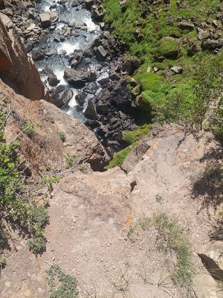 North Clear Creek FallsSource-reviewed route and parkingHinsdale County, CO15 miW
- South Clear Creek FallsRoute and parking researchedHinsdale County, CO16 miSW
- Argenta FallsHinsdale County, CO22 miW
- Crooke FallsHinsdale County, CO23 miW
- Treasure FallsHinsdale County, CO26 miW
- Piedra FallsResearched route and starting areaMineral County, CO33 miS
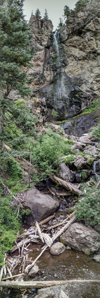 Treasure FallsRoute and parking documented; confirm current conditions.105 ft (32 m) · Mineral County, CO34 miS