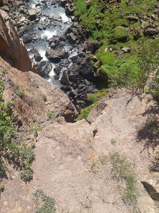
Treasure Falls
Mineral County, Colorado
Your visit at a glance
- Waterfall height
- 105 ft (32 m)
- Location
- Mineral County, Colorado
- Access status
- Route and parking documented; confirm current conditions.
- The walk
- 0.25 mile one way; approximately 0.5 mile return
- Ground & access
- Uphill trail; the brochure lists 325 feet of elevation gain. The alternative trail on the right is more difficult.
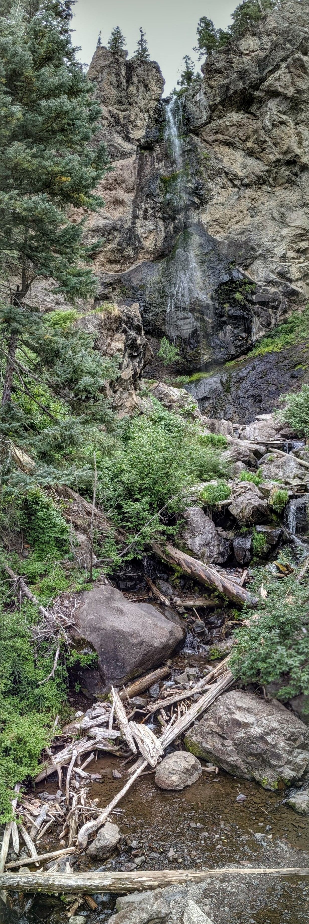
Treasure Falls is visible from parking, with a trail to the bridge below the waterfall.
Plan your visit
From Treasure Falls parking, take the trail on the left to the bridge at the waterfall's base. Return the same way.
The official tourism brochure gives a quarter-mile approach to the bridge. The return estimate doubles it.
Uphill trail; the brochure lists 325 feet of elevation gain. The alternative trail on the right is more difficult.
Where to start
From Pagosa Springs, follow Highway 160 east 15 miles and turn right into the Treasure Falls parking lot.
Timing & water
The brochure describes winter ice at the falls; current road and trail conditions are unverified.
Before you go
Fees and reservation requirements are unknown.
Visitor informationVisit sources
More waterfalls nearby
Within 40 straight-line miles. Road and trail distances will differ.