Columbine Falls
Larimer County, Colorado
Your visit at a glance
- Waterfall height
- Not recorded
- Location
- Larimer County, Colorado
- Access status
- Park trail with falls views documented; entrance pass required
- The walk
- Under 8.5 miles return
- Ground & access
- Strenuous high-altitude trail with about 2,500 feet of gain to the lake. Exposed above treeline; lightning, wind and rapid weather changes are hazards.
Follow the East Longs Peak Trail from the Longs Peak Ranger Station uphill through forest and above treeline to the Chasm Lake Trail junction. The Chasm Lake Trail runs along the wall of a deep gorge with views down to Peacock Pool and Columbine Falls, then passes over the top of the falls. Return the same way.
Plan your visit
Longs Peak Trailhead via the East Longs Peak Trail and Chasm Lake Trail to views of Columbine Falls
Rocky Mountain Hiking Trails gives 8.5 miles round trip to Chasm Lake. The trail passes above Columbine Falls shortly before the lake, so the walk to the falls is somewhat shorter; the exact figure is not given.
Strenuous high-altitude trail with about 2,500 feet of gain to the lake. Exposed above treeline; lightning, wind and rapid weather changes are hazards.
Where to start
Longs Peak Trailhead lot at the ranger station, one mile off Highway 7. The lot fills very early; limited roadside parking. Car camping is not allowed in the lot.
Timing & water
Snow can cover the high trail outside summer. Start early to avoid afternoon thunderstorms.
Before you go
A park entrance pass is required at all hours; the standard pass is $15 to $35. In 2026, timed entry reservations were needed to enter between 9 a.m. and 2 p.m. from May 22 to October 12. Dates for 2027 not yet verified.
Visitor informationVisit sources
More waterfalls nearby
Within 40 straight-line miles. Road and trail distances will differ.
- Ribbon FallsPublished trail route and trailhead documented; Bear Lake Road reservation season appliesLarimer County, CO2.2 miW
- Lyric FallsPartial guide: last 0.75 mile is an unmaintained social trail with no markerBoulder County, CO2.5 miS
- Trio FallsBoulder County, CO2.8 miSW
- Thunder FallsBoulder County, CO3.1 miSW
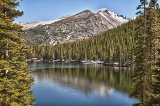 Glacier FallsPublished trail route with unmarked final spur; Bear Lake Road reservation season appliesLarimer County, CO3.4 miNW
- Fan FallsPartial guide: final section is unmarked social trails above Thunder LakeBoulder County, CO3.5 miSW
 Alberta FallsPublished trail distance, trailhead and park entry rules documentedLarimer County, CO3.6 miNW
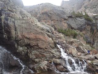 Timberline FallsPark trail route documented; Bear Lake Road reservations in seasonLarimer County, CO3.8 miNW
- Mertensia FallsBoulder County, CO4.0 miSW