Ribbon Falls
Larimer County, Colorado
Your visit at a glance
- Waterfall height
- Not recorded
- Location
- Larimer County, Colorado
- Access status
- Published trail route and trailhead documented; Bear Lake Road reservation season applies
- The walk
- About 4.6 to 4.8 miles each way
- Ground & access
- Long, steady climb with a steep final section beside the falls. Snow can remain into early summer.
From the Glacier Gorge Trailhead, turn left at the early junction after Chaos Creek, pass Alberta Falls, and stay on the trail toward Mills Lake (about 2.6 miles) and Jewel Lake. Continue up Glacier Gorge to a small meadow at about 4.6 miles where Ribbon Falls comes into view. The trail climbs along the east side of the falls to Black Lake. Return the same way.
Plan your visit
Glacier Gorge Trailhead to Ribbon Falls below Black Lake
Rocky Mountain Hiking Trails says Ribbon Falls comes into view at just over 4.6 miles and the trail climbs beside it to Black Lake at about 4.8 miles. Starting from Bear Lake adds about 0.2 miles to the round trip.
Long, steady climb with a steep final section beside the falls. Snow can remain into early summer.
Where to start
Glacier Gorge Trailhead lot on Bear Lake Road, almost 8 miles from the turn-off at US 36. The source suggests the free park shuttle in peak season, or starting from Bear Lake Trailhead.
Timing & water
High-elevation route. Snow and afternoon storms are common. Current trail conditions were not checked for a specific date.
Before you go
A park entrance pass is required at all times. In 2026 a Timed Entry plus Bear Lake Road reservation was required to enter the Bear Lake Road corridor between 5 a.m. and 6 p.m. from May 22 to October 18. Check the park site for the current season.
Visitor informationVisit sources
More waterfalls nearby
Within 40 straight-line miles. Road and trail distances will differ.
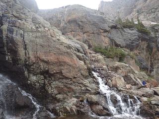 Timberline FallsPark trail route documented; Bear Lake Road reservations in seasonLarimer County, CO1.7 miNW
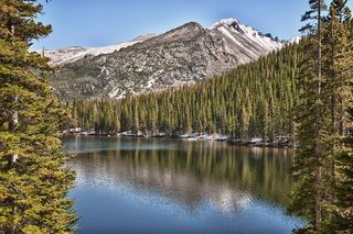 Glacier FallsPublished trail route with unmarked final spur; Bear Lake Road reservation season appliesLarimer County, CO1.9 miN
- Trio FallsBoulder County, CO2.1 miS
- Columbine FallsPark trail with falls views documented; entrance pass requiredLarimer County, CO2.2 miE
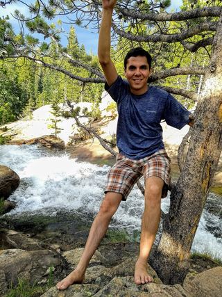 Alberta FallsPublished trail distance, trailhead and park entry rules documentedLarimer County, CO2.5 miN
- Fan FallsPartial guide: final section is unmarked social trails above Thunder LakeBoulder County, CO2.7 miS
- Thunder FallsBoulder County, CO2.8 miS
- Mertensia FallsBoulder County, CO3.8 miS
- Lyric FallsPartial guide: last 0.75 mile is an unmaintained social trail with no markerBoulder County, CO3.8 miSE