Cataract Falls
Summit County, Colorado
Your visit at a glance
- Waterfall height
- Not recorded
- Location
- Summit County, Colorado
- Access status
- Researched route and starting area
- The walk
- Viewpoint distance unknown; no full lake loop distance verified.
- Ground & access
- Trailhead view across the lake; optional loop passes meadows.
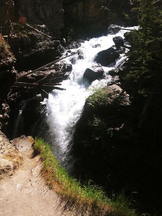
USFS confirms a distant waterfall view from the trailhead across Lower Cataract Lake.
Plan your visit
Distant Cataract Falls view from Lower Cataract Lake Trailhead
Viewpoint distance unknown; no full lake loop distance verified.
Trailhead view across the lake; optional loop passes meadows.
Where to start
End of Cataract Creek Road/FDR 1725, 2.5 miles from Heeney Road. Do not block the gate.
Timing & water
Season and current trail conditions not established by the reviewed source.
Before you go
Reservation requirements and current fees unknown.
Visitor informationVisit sources
More waterfalls nearby
Within 40 straight-line miles. Road and trail distances will differ.
- Booth FallsRoute and parking documented; confirm current conditions.Eagle County, CO11 miS
- East Vail FallsParking and short street walk documentedEagle County, CO13 miS
- Willow Creek fallsPartial guide: Willowbrook distance and current parking permit rules not confirmedSummit County, CO17 miSE
- Continental FallsPublished trail route and trailhead documentedSummit County, CO31 miSE
 Adams FallsOfficial state trail map route and trailhead documented; park entry rules applyGrand County, CO40 miNE