Rifle Falls
Garfield County, Colorado
Your visit at a glance
- Waterfall height
- Not recorded
- Location
- Garfield County, Colorado
- The walk
- Base-view distance unknown
- Ground & access
- CPW describes the Coyote Trail as unpaved and accessible to the base; accessibility of the full trail is not claimed.
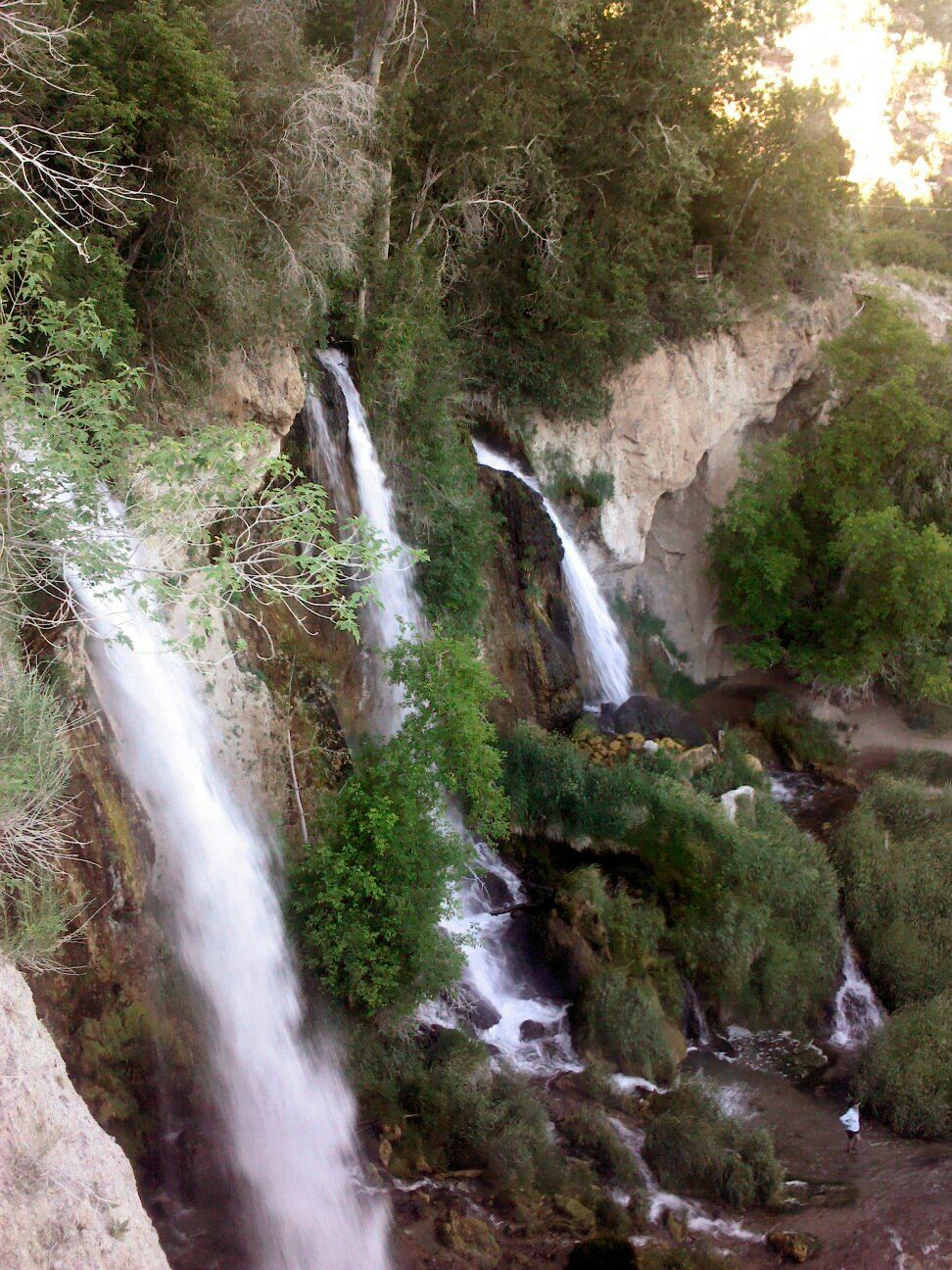
Choose the base view of the triple waterfall. Trails farther above the falls are separate options.
Plan your visit
Coyote Trail approach to the falls base
CPW lists the full Coyote Trail as 1.5 miles without a loop or return label; this is not a verified distance to the base.
CPW describes the Coyote Trail as unpaved and accessible to the base; accessibility of the full trail is not claimed.
Where to start
Use Rifle Falls State Park, 5775 Highway 325. Parking is limited during busy summer periods.
Timing & water
Summer parking demand is high. Current trail or weather restrictions are unknown; check the park before travel.
Before you go
Park admission applies. Current day-use reservation requirements are not stated on the opened page.
Visitor informationMore waterfalls nearby
Within 40 straight-line miles. Road and trail distances will differ.
No other mapped waterfalls within 40 miles.