MacGregor Falls
Larimer County, Colorado
Your visit at a glance
- Waterfall height
- Not recorded
- Location
- Larimer County, Colorado
- Access status
- Partial guide: one undated visitor account; an unmarked connector and current trail condition are unconfirmed
- The walk
- About 3.1 miles each way; 6.2 miles round trip
- Ground & access
- Moderate, about 460 feet of climbing. Flood damage has eroded creek banks and parts of the final trail. Old metal debris is in the creek near the falls. Crossing the creek for a better view is only for low water.
Walk west from the Lumpy Ridge Trailhead through the MacGregor Ranch meadows. At about 0.6 miles turn left toward The Pear, then continue straight at the climbers trail junction. Before a green gate, take a social connector path along the fence line down to a dirt road, turn right (west), and follow Black Canyon Creek to the falls. The source says this junction is not well marked. Return the same way.
Plan your visit
Lumpy Ridge (Twin Owls) Trailhead west on the Black Canyon trail to MacGregor Falls
Dayhikes Near Denver gives 6.2 miles round trip. The one-way figure is half of that.
Moderate, about 460 feet of climbing. Flood damage has eroded creek banks and parts of the final trail. Old metal debris is in the creek near the falls. Crossing the creek for a better view is only for low water.
Where to start
Lumpy Ridge (Twin Owls) Trailhead parking, about 0.3 miles up Lumpy Ridge Road from Devils Gulch Road north of Estes Park.
Timing & water
Spring through fall; snowshoeing in winter per the source. Current trail and junction signs were not confirmed by the park.
Before you go
A park entrance pass is required at all times. In 2026 a timed entry reservation was also required to enter between 9 a.m. and 2 p.m. from May 22 to October 12. Check the park site for the current season.
Visitor informationVisit sources
More waterfalls nearby
Within 40 straight-line miles. Road and trail distances will differ.
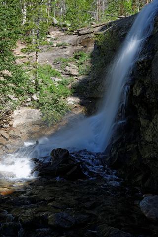 Bridal Veil FallsPark trail route and parking documented; entrance pass requiredLarimer County, CO1.8 miN
- West Creek FallsPublished route, distance and parking documentedLarimer County, CO3.7 miNE
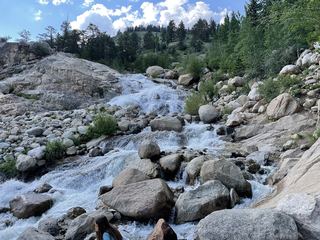 Horseshoe FallsOfficial accessible trail with falls view; entrance pass requiredLarimer County, CO3.9 miW
- Fox Creek FallsLarimer County, CO4.2 miNE
- Thousand FallsLarimer County, CO5.5 miW
- Windy Gulch CascadesPublished visitor route documented; final section is an unmaintained social pathLarimer County, CO5.6 miSW
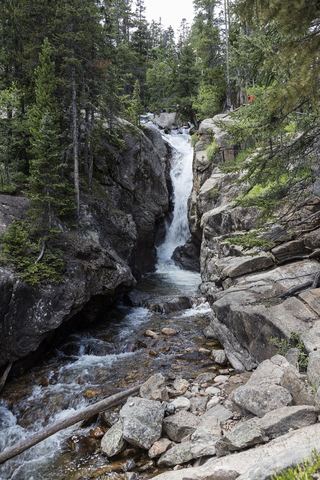 Chasm FallsPublished road parking and short path to viewing platform documented; road is seasonalLarimer County, CO5.9 miW
- Lost FallsPartial guide: final approach is on hidden social trails off the main trailLarimer County, CO6.5 miN
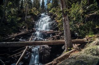 Fern FallsPublished trail distance, trailhead and park entry rules documentedLarimer County, CO7.1 miSW