Lost Falls
Larimer County, Colorado
Your visit at a glance
- Waterfall height
- Not recorded
- Location
- Larimer County, Colorado
- Access status
- Partial guide: final approach is on hidden social trails off the main trail
- The walk
- About 15.6 miles return
- Ground & access
- Long, demanding trail. The final approach is on faint social trails through undergrowth and deadfall; map and navigation skills needed. Steep, slippery rock near the falls.
Follow the Dunraven/North Fork Trail west along the North Fork of the Big Thompson River through the Comanche Peak Wilderness and into the national park at 4.6 miles. Stay on the North Fork Trail at the North Boundary Trail junction. About half a mile past the Lost Falls campsite sign, pass the Stormy Peaks Pass Trail junction; just beyond it, look for hidden social trails on the left (south) leading down to the falls.
Plan your visit
Dunraven Trailhead via the Dunraven/North Fork Trail to social trails down to Lost Falls
Dayhikes Near Denver gives 15.6 miles round trip with about 2,250 feet of gain. Not measured here.
Long, demanding trail. The final approach is on faint social trails through undergrowth and deadfall; map and navigation skills needed. Steep, slippery rock near the falls.
Where to start
Dunraven Trailhead at the end of Dunraven Glade Road, 2.2 miles from Devils Gulch Road, 1.7 miles past Glen Haven. For a quarter mile the trail crosses private summer camp land; stay on the trail.
Timing & water
Late spring through early fall. The river can be dangerous during snowmelt and after heavy rain.
Before you go
A park entrance pass is required at all hours; the standard pass is $15 to $35. In 2026, timed entry reservations were needed to enter between 9 a.m. and 2 p.m. from May 22 to October 12. Dates for 2027 not yet verified. Overnight camping needs a park wilderness permit.
Visitor informationVisit sources
More waterfalls nearby
Within 40 straight-line miles. Road and trail distances will differ.
- Fox Creek FallsLarimer County, CO4.3 miSE
- West Creek FallsPublished route, distance and parking documentedLarimer County, CO4.4 miSE
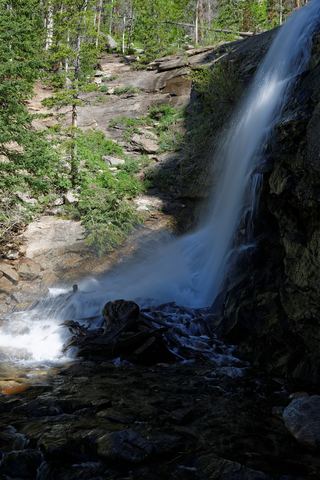 Bridal Veil FallsPark trail route and parking documented; entrance pass requiredLarimer County, CO4.8 miS
- Beaver FallsLarimer County, CO5.7 miNW
- MacGregor FallsPartial guide: one undated visitor account; an unmarked connector and current trail condition are unconfirmedLarimer County, CO6.5 miS
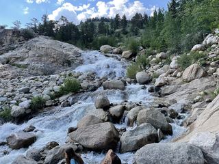 Horseshoe FallsOfficial accessible trail with falls view; entrance pass requiredLarimer County, CO7.3 miSW
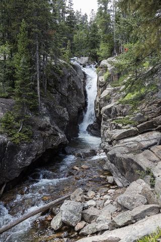 Chasm FallsPublished road parking and short path to viewing platform documented; road is seasonalLarimer County, CO8.2 miSW
- Thousand FallsLarimer County, CO8.3 miSW
- Big South FallsLarimer County, CO10 miW