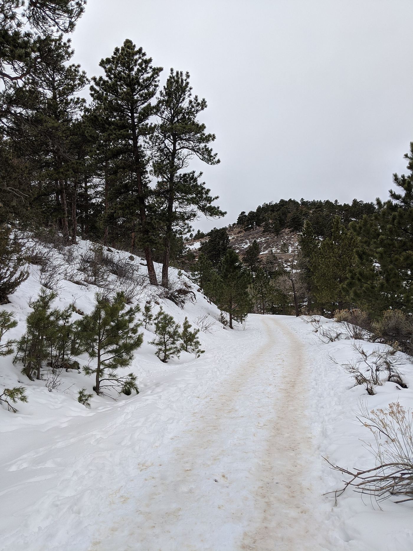
Waterfalls near Loveland, CO
15 named waterfalls within 30 miles of Loveland, closest first. Distances are straight-line from the town center.
Visits with route details
Read the walking route, starting point and current access notes.
 Horsetooth FallsPublished trail route and county trailhead documented; parking fee amount unconfirmedLarimer County, CO
- West Creek FallsPublished route, distance and parking documentedLarimer County, CO
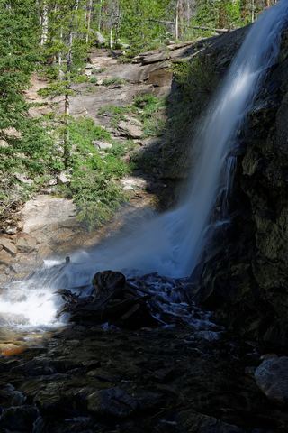 Bridal Veil FallsPark trail route and parking documented; entrance pass requiredLarimer County, CO
- MacGregor FallsPartial guide: one undated visitor account; an unmarked connector and current trail condition are unconfirmedLarimer County, CO
- Lost FallsPartial guide: final approach is on hidden social trails off the main trailLarimer County, CO
- Copeland FallsPublished trail distance and park entry rules documentedBoulder County, CO
- Columbine FallsPark trail with falls views documented; entrance pass requiredLarimer County, CO
- Lower Copeland FallsPublished trail route and trailhead parking documented; park entry rules applyBoulder County, CO
- Upper Copeland FallsPublished trail route and trailhead parking documented; park entry rules applyBoulder County, CO
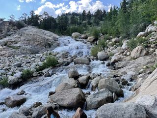 Horseshoe FallsOfficial accessible trail with falls view; entrance pass requiredLarimer County, CO
- Hidden FallsPartial guide: winter climbing approach only; exact distance and summer route unknownBoulder County, CO
- Windy Gulch CascadesPublished visitor route documented; final section is an unmaintained social pathLarimer County, CO
- Lyric FallsPartial guide: last 0.75 mile is an unmaintained social trail with no markerBoulder County, CO
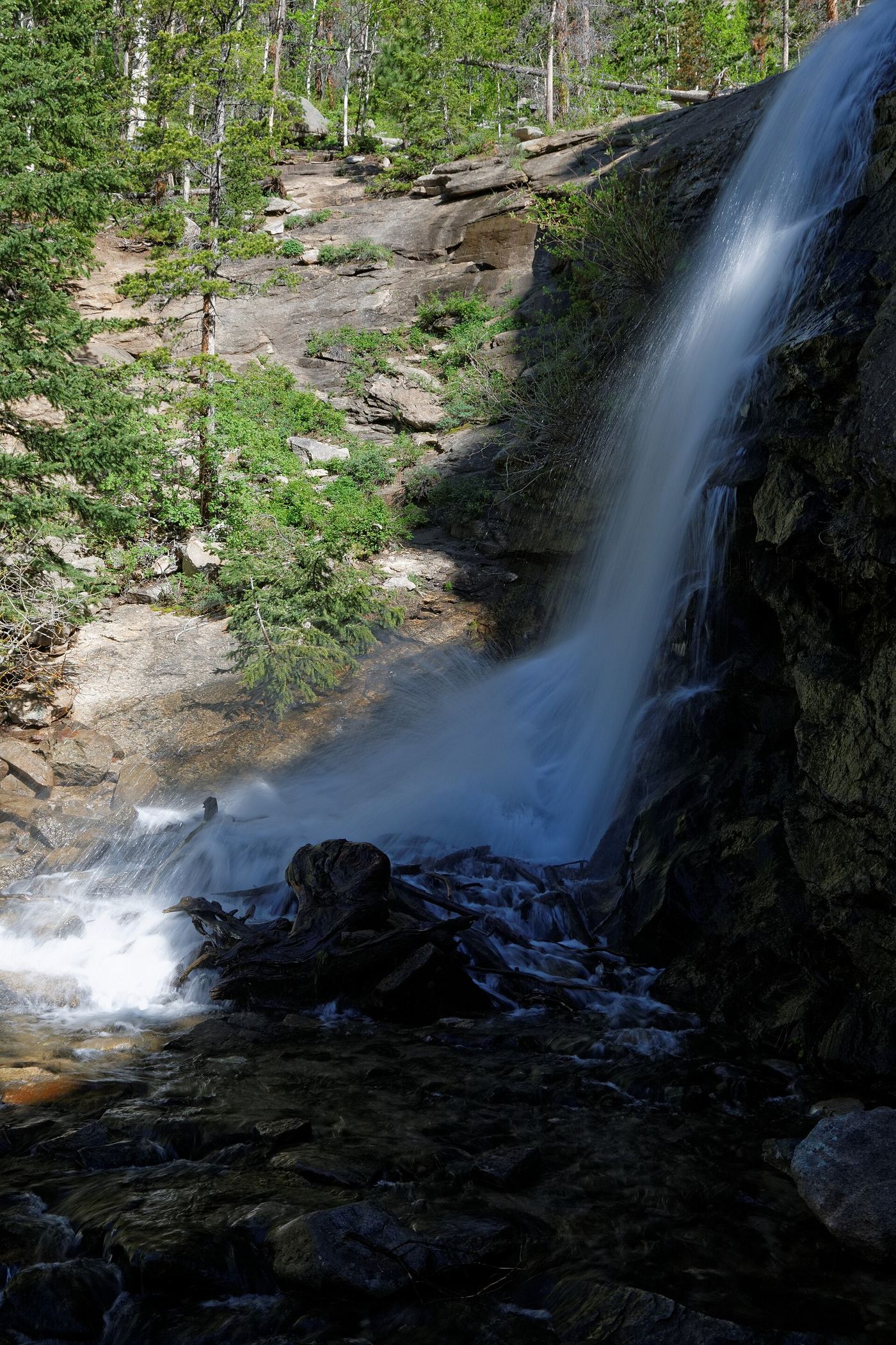
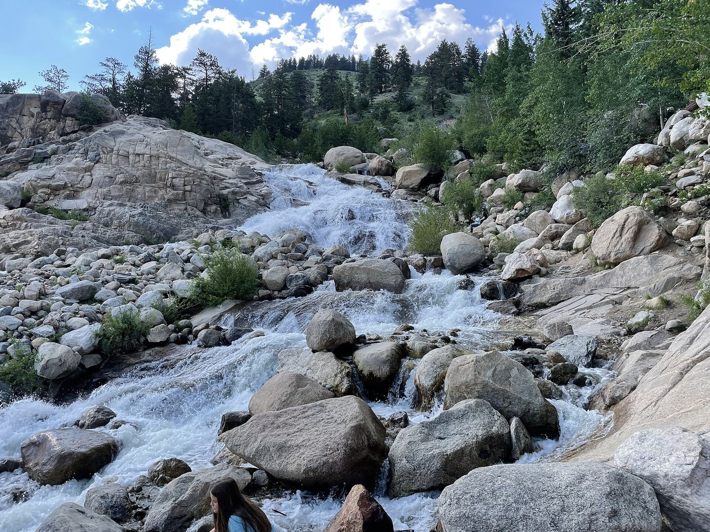
Closest with a photo
All 15 waterfalls
- Grouse Hollow FallsLarimer County, CO10 miW
- Horsetooth FallsPublished trail route and county trailhead documented; parking fee amount unconfirmedLarimer County, CO11 miNW
- Fox Creek FallsLarimer County, CO23 miW
- West Creek FallsPublished route, distance and parking documentedLarimer County, CO24 miW
- Bridal Veil FallsPark trail route and parking documented; entrance pass requiredLarimer County, CO25 miW
- MacGregor FallsPartial guide: one undated visitor account; an unmarked connector and current trail condition are unconfirmedLarimer County, CO26 miW
- Lost FallsPartial guide: final approach is on hidden social trails off the main trailLarimer County, CO27 miW
- Copeland FallsPublished trail distance and park entry rules documentedBoulder County, CO29 miSW
- Columbine FallsPark trail with falls views documented; entrance pass requiredLarimer County, CO29 miW
- Lower Copeland FallsPublished trail route and trailhead parking documented; park entry rules applyBoulder County, CO29 miSW
- Upper Copeland FallsPublished trail route and trailhead parking documented; park entry rules applyBoulder County, CO29 miSW
- Horseshoe FallsOfficial accessible trail with falls view; entrance pass requiredLarimer County, CO29 miW
- Hidden FallsPartial guide: winter climbing approach only; exact distance and summer route unknownBoulder County, CO30 miSW
- Windy Gulch CascadesPublished visitor route documented; final section is an unmaintained social pathLarimer County, CO30 miW
- Lyric FallsPartial guide: last 0.75 mile is an unmaintained social trail with no markerBoulder County, CO30 miSW