Horsetooth Falls
Larimer County, Colorado
Your visit at a glance
- Waterfall height
- Not recorded
- Location
- Larimer County, Colorado
- Access status
- Published trail route and county trailhead documented; parking fee amount unconfirmed
- The walk
- About 1.2 miles each way; 2.4 miles round trip
- Ground & access
- Easy to moderate trail with about 425 feet of total climbing per 5280.
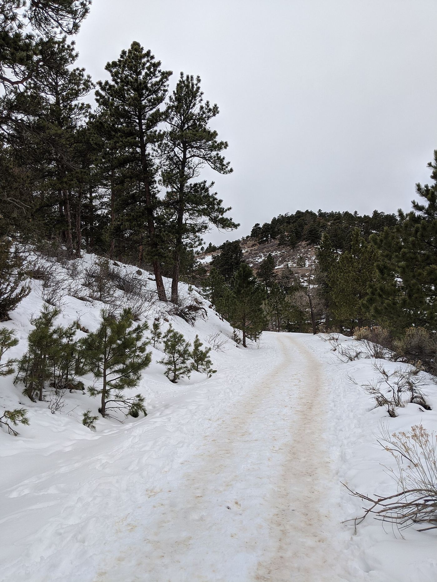
From the main parking lot, take the Horsetooth Rock Trail northeast. After 0.3 miles, bear right on the Horsetooth Falls Trail across a ridge and grassland. The trail bends north into Spring Creek Canyon, crosses the creek, and reaches another fork; turn left to the falls. A short slope leads to the pool and a bench is above. Return the same way.
Plan your visit
Horsetooth Mountain Open Space main trailhead by the Horsetooth Rock and Horsetooth Falls trails
5280 gives 2.4 miles round trip. The one-way figure is half of that. A longer loop return on the Spring Creek and Soderberg trails is possible but its length was not taken from these sources.
Easy to moderate trail with about 425 feet of total climbing per 5280.
Where to start
Main Horsetooth Mountain Open Space trailhead lot on County Road 38E west of Horsetooth Reservoir, about 2.5 miles past the South Bay entrance. The county says the lot fills; in summer arrive before 9 a.m. or after 3 p.m. The main trailhead is closed 11 p.m. to 4 a.m.
Timing & water
The falls flow mainly in spring. Current trail conditions were not checked for a specific date.
Before you go
5280 says a parking fee is charged at this county lot. The current amount was not confirmed on the county page.
Visitor informationVisit sources
More waterfalls nearby
Within 40 straight-line miles. Road and trail distances will differ.
- Grouse Hollow FallsLarimer County, CO9.8 miSW
- Fox Creek FallsLarimer County, CO18 miW
- West Creek FallsPublished route, distance and parking documentedLarimer County, CO19 miW
- Lost FallsPartial guide: final approach is on hidden social trails off the main trailLarimer County, CO20 miW
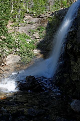 Bridal Veil FallsPark trail route and parking documented; entrance pass requiredLarimer County, CO21 miW
- MacGregor FallsPartial guide: one undated visitor account; an unmarked connector and current trail condition are unconfirmedLarimer County, CO22 miSW
- Beaver FallsLarimer County, CO23 miW
- Disappointment FallsSource-reviewed trail junctions and parkingLarimer County, CO25 miNW
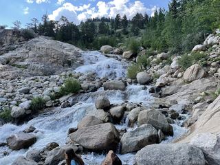 Horseshoe FallsOfficial accessible trail with falls view; entrance pass requiredLarimer County, CO25 miW