WaterfallNear Me

Colorado waterfall visits

Compare 61 Colorado waterfall visits by the approach, terrain, and where to start. Some routes have closures or unresolved details; read the individual guide before travelling.

61 visit options

Adams Falls, CO

Official state trail map route and trailhead documented; park entry rules apply

Colorado

Adams Falls

About 0.3 to 0.4 miles each way; about 0.75 miles round trip

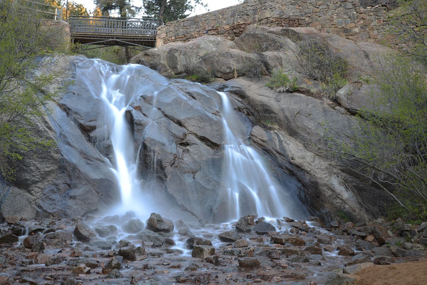
Adams Falls slides off a ledge into a pool on East Inlet, a short walk from the East Inlet Trailhead at the east end of Grand Lake. Follow the East Inlet Trail (Adams Falls Trail) from the trailhead to the falls viewpoint and return the same way, or continue past the falls into the meadow valley beyond.
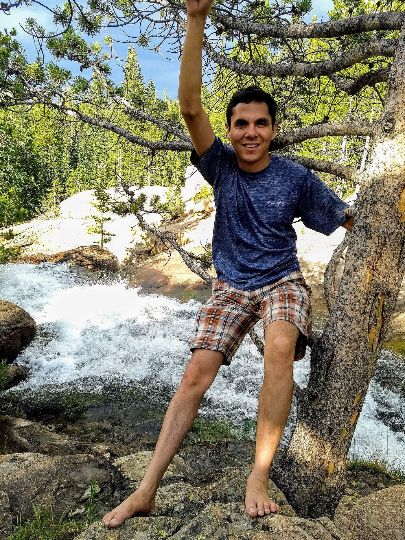
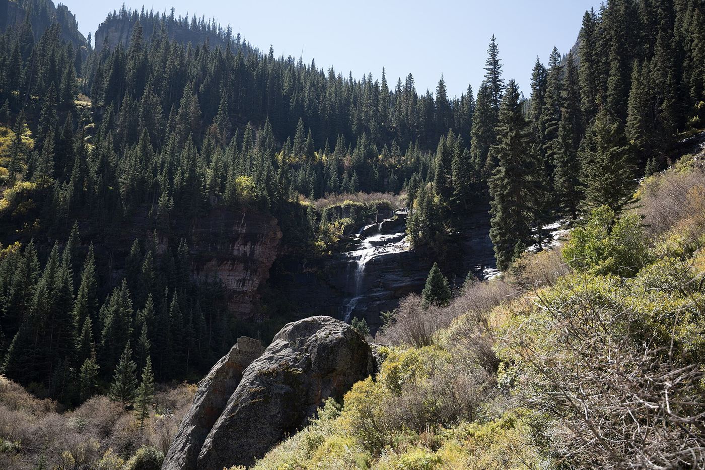
Photo creditPhoto: Faith Warehime, CC BY-SA 4.0, via Wikimedia Commons
Alberta Falls, CO

Published trail distance, trailhead and park entry rules documented

Colorado

Alberta Falls

1.6 miles return

From Glacier Gorge Trailhead, take the 0.3-mile connecting trail to Glacier Gorge Junction and turn toward Alberta Falls. Continue to the falls and return the same way. Bear Lake Trailhead, which has a larger lot, is an alternative start.

Photo creditPhoto: Oceanic7777, CC BY 4.0, via Wikimedia Commons
Bear Creek Falls, CO

Official trail route and distance documented

Colorado

Bear Creek Falls

About 4.5 miles return

From Colorado Avenue in Telluride, turn south on Pine Street and continue until it becomes a dirt road and the Bear Creek Trail. Climb the wide track through aspen and conifer forest into Bear Creek Canyon. Pass the Wasatch Trail junction at about 2 miles and continue about 0.2 mile to the base of Bear Creek Falls. Return the same way.

Photo creditPhoto: Clyde Charles Brown, CC BY-SA 4.0, via Wikimedia Commons
Boulder Falls, CO.

Trail closed

Colorado

Boulder Falls

Closed; normal trail listed as 0.10 mile

Closed as checked October 27, 2026 after a rockslide damaged the trail and protective infrastructure. The city gives no reopening date.

Photo creditPhoto: Andrew Magill, CC BY 2.0, via Wikimedia Commons
Bridal Veil Falls, CO

Park trail route and parking documented; entrance pass required

Colorado

Bridal Veil Falls

About 6.2 miles return

Walk through the McGraw Ranch research facility and follow the Cow Creek Trail west. Go straight at the Gem Lake junction near 1.2 miles and turn right at the Dark Mountain Trail junction at about 1.9 miles. Past the horse hitching post near 2.9 miles, keep right and climb rock steps steeply to the base of the 20-foot falls at 3.1 miles. Return the same way.

Photo creditPhoto: KimonBerlin, CC BY-SA 2.0, via Wikimedia Commons
Bridal Veil Falls, CO

Official visitor route; winter hazards; distance not published

Colorado

Bridal Veil Falls

Distance not published in the reviewed official source

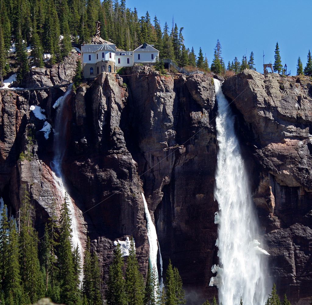
From Telluride, drive east on Colorado Avenue to the end of the box canyon. The Bridal Veil Trail starts at the Idarado Mine parking area by the settling ponds and goes to the base of Bridal Veil Falls. About three quarters of the way up, a spur leads to another waterfall and the Bridal Veil Road. Hikers may also walk up the 4WD road. The power plant at the top is privately owned.

Photo creditPhoto: Terry Foote (talk), CC BY-SA 3.0, via Wikimedia Commons
Calypso Cascades, CO

Official trail distance and park entry rules documented

Colorado

Calypso Cascades

3.6 miles return

From Wild Basin Trailhead, follow the trail along North Saint Vrain Creek toward Ouzel Lake. The trail passes Copeland Falls early on and reaches Calypso Cascades at 1.8 miles. Return the same way, or continue to Ouzel Falls.

Photo creditPhoto: Laurenschneider210, CC BY-SA 4.0, via Wikimedia Commons
Chasm Falls, CO

Published road parking and short path to viewing platform documented; road is seasonal

Colorado

Chasm Falls

About 0.1 mile from the roadside parking; about 1.4 miles each way walking up the road from Endovalley

When Old Fall River Road is open to cars, drive up the one-way gravel road and park at the small lot above the falls. A short paved path with natural steps leads down to an observation platform. Driving this way commits you to the whole one-way road to the Alpine Visitor Center. Hikers can instead park at Endovalley Picnic Area and walk about 1.4 miles up the road, watching for traffic.

Photo creditPhoto: Carol M. Highsmith, Public domain, via Wikimedia Commons
Fern Falls, CO

Published trail distance, trailhead and park entry rules documented

Colorado

Fern Falls

About 5.4 miles return

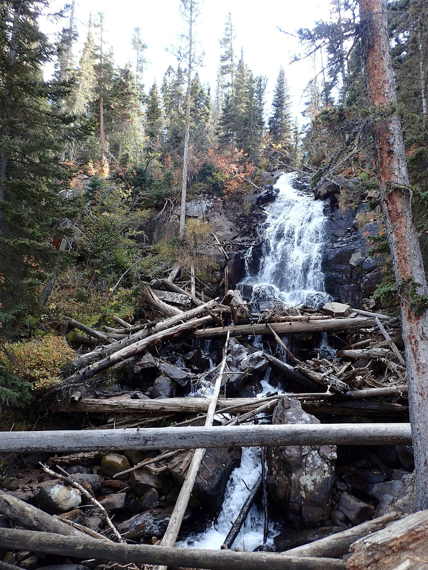
From Fern Lake Trailhead, follow the Fern Lake Trail along the Big Thompson River past Arch Rocks and The Pool, then climb along Fern Creek to Fern Falls. Return the same way, or continue to Fern Lake.

Photo creditPhoto: Christian Collins, CC BY-SA 2.0, via Wikimedia Commons
Glacier Falls, CO

Published trail route with unmarked final spur; Bear Lake Road reservation season applies

Colorado

Glacier Falls

About 2.25 miles each way from Glacier Gorge Trailhead; about 2.4 miles each way from Bear Lake Trailhead

Walk past Alberta Falls to the junction of the Loch Vale and Mills Lake trails at about 2.2 miles. Take the Mills Lake trail, cross Icy Brook on a footbridge, and after about 0.15 miles take the unmarked side path on the left (southeast). It reaches the base of Glacier Falls about 0.2 miles from the junction. Return the same way.

Photo creditPhoto: Айрат Хайруллин, CC BY 3.0, via Wikimedia Commons
Horseshoe Falls, CO

Official accessible trail with falls view; entrance pass required

Colorado

Horseshoe Falls

About 0.4 miles return

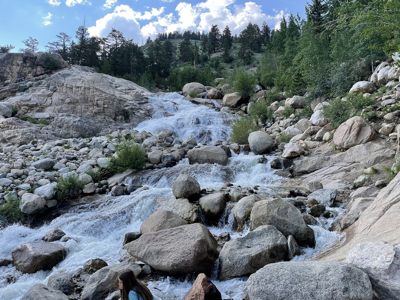
The National Park Service says the Alluvial Fan trail, rebuilt in 2020 to be fully accessible, leads to a 56-foot bridge over the Roaring River with views of Horseshoe Falls. Waterfall Hero adds that visitors scramble and rock-hop into the river for a closer view; the rocks are very slippery.

Photo creditPhoto: Dough4872, CC BY-SA 4.0, via Wikimedia Commons
Horsetooth Falls, CO

Published trail route and county trailhead documented; parking fee amount unconfirmed

Colorado

Horsetooth Falls

About 1.2 miles each way; 2.4 miles round trip

From the main parking lot, take the Horsetooth Rock Trail northeast. After 0.3 miles, bear right on the Horsetooth Falls Trail across a ridge and grassland. The trail bends north into Spring Creek Canyon, crosses the creek, and reaches another fork; turn left to the falls. A short slope leads to the pool and a bench is above. Return the same way.

Photo creditPhoto: Jamesmartin111, CC0, via Wikimedia Commons
Marguerite Falls, CO

Partial guide: final section is an unmaintained social trail beside the creek

Colorado

Marguerite Falls

About 7.8 miles return

Hike the Fern Lake Trail 3.9 miles to Fern Lake. Just before the footbridge over the lake outlet, take the social trail to the left. It is steep at first, then winds through trees along Fern Creek; the upper cascades are about 0.1 mile below the lake and the lower ones about 0.1 mile farther. Trace the creek back up to the lake and return on the Fern Lake Trail.

Photo creditPhoto: Outdoor Craziness, CC BY-SA 3.0, via Wikimedia Commons
Rainbow Falls, CO

Closed for the season until 2027; shuttle access only

Colorado

Rainbow Falls

About 0.3 miles return

El Paso County runs the site. Parking at the falls is blocked because of rockfall. When open, visitors park at Higginbotham Flats, 101 Higginbotham Road, Manitou Springs, and ride a shuttle to the site, then walk the 0.15-mile gravel trail to the falls.

Photo creditPhoto: Ahodges7, CC BY-SA 3.0, via Wikimedia Commons
Timberline Falls, CO

Park trail route documented; Bear Lake Road reservations in season

Colorado

Timberline Falls

About 8.1 miles return

From the Glacier Gorge Trailhead, pass Alberta Falls, turn right at the North Longs Peak Trail junction, and go straight at Mills Junction onto the Loch Vale Trail. Pass The Loch at about 2.8 miles and keep left at the Sky Pond and Andrews Glacier split. Climb rock steps to the base of Timberline Falls. The scramble beside the falls toward Lake of Glass is optional and much harder. Return the same way.

Photo creditPhoto: Outdoor Craziness, CC BY-SA 3.0, via Wikimedia Commons

Roadside overlook with parking documented

Colorado

Bear Creek Falls

Roadside viewpoint; short walk from the lot

Drive south from Ouray on US 550 for 2.9 miles to the bridge over Bear Creek. Park in the lot on the west side of the road. An observation platform over the cliff edge looks at the falls, which pour out from under the highway. The falls are not visible while driving.

Location map; no photo available.

Route and parking documented; confirm current conditions.

Colorado

Booth Falls

About 4 miles return from trailhead; about 4.5 miles including bus-stop road walk

Vail documents a bus-based approach because parking at the trailhead and in the surrounding neighborhood is prohibited.

Location map; no photo available.

Official access, walk, hours and admission documented; private attraction

Colorado

Bridal Veil

About 0.8 mile one way to the base, plus 224 steps

Park at the Norris Penrose Event Center, 1045 Lower Gold Camp Rd, Colorado Springs, and take the free shuttle to the park entrance. Walk about 0.8 mile up the canyon to the base of Seven Falls. Bridal Veil is one of the seven named drops, seen from the base and from the 224-step Main Falls Stairs.

Location map; no photo available.

Published trail route and trailhead documented

Colorado

Browns Creek Falls

About 2.9 to 3 miles each way; about 5.8 to 6 miles round trip

From the trailhead, pass a gate at about 0.2 miles and climb steeply for the first mile. At the Colorado Trail junction, go left a short distance, then right on the signed Browns Creek Trail. Cross a meadow near 2.5 miles, then a log bridge and a horse hitch rack. At the signed junction, turn left on the short spur to the falls; the main trail goes right to Browns Lake. Return the same way.

Location map; no photo available.

City park route, parking and free entry documented

Colorado

Cascade Falls

About 1/4 mile each way

Drive east up 8th Avenue from Main Street (US-550) to the Cascade Falls Park parking lot where the road dead-ends. Walk the short, moderately steep trail beside Cascade Creek to the base of the falls, where the Ouray Trail Group has built a small shelter. Upper Cascade Falls is a separate, much harder hike.

Location map; no photo available.

Official distance and published route; crosses private land on the old road

Colorado

Cascade Falls

About 6.8 miles return

From Grand Lake, take West Portal Road to the Tonahutu/North Inlet Trailheads turn-off and the North Inlet Trailhead. The first 1.2 miles follow an old dirt road, much of it across private land; stay on the route. Pass Summerland Park and the Twinberry campsite. At about 3.4 miles the trail splits; the left fork is for horses and the right fork leads to the falls. Return the same way.

Location map; no photo available.

Researched route and starting area

Colorado

Cataract Falls

Viewpoint distance unknown; no full lake loop distance verified.

USFS confirms a distant waterfall view from the trailhead across Lower Cataract Lake.

Location map; no photo available.

Published route and trailhead documented; current trail condition unverified

Colorado

Clear Creek Falls

About 2 miles return

From US 550 near Silverton, take County Road 7 for 4.4 miles to the trailhead parking across from South Mineral Campground. Climb switchbacks on the Ice Lakes Trail. At about 0.5 miles cross Clear Creek on a log footbridge and look upstream to see the waterfall. At just over 0.9 miles a short spur on the right leads to a close-up view. Return the same way.

Location map; no photo available.

Park trail with falls views documented; entrance pass required

Colorado

Columbine Falls

Under 8.5 miles return

Follow the East Longs Peak Trail from the Longs Peak Ranger Station uphill through forest and above treeline to the Chasm Lake Trail junction. The Chasm Lake Trail runs along the wall of a deep gorge with views down to Peacock Pool and Columbine Falls, then passes over the top of the falls. Return the same way.

Location map; no photo available.

Published trail route and trailhead documented

Colorado

Continental Falls

About 2.5 to 2.6 miles each way; about 5 miles round trip

Follow the blue-diamond-blazed Spruce Creek Trail. Cross Spruce Creek on a footbridge just before 0.5 miles, go straight at the Wheeler Trail junction at about 1.7 miles, follow a 4WD road briefly past a small dam near 2 miles, and take the left-hand trail at the junction near 2.5 miles. It passes old mining ruins and reaches Continental Falls at about 2.6 miles. Return the same way.

Location map; no photo available.

Published trail distance and park entry rules documented

Colorado

Copeland Falls

About 0.6 miles return

From Wild Basin Trailhead, follow the trail along North Saint Vrain Creek a short distance to Copeland Falls. Return the same way, or continue to Calypso Cascades.

Location map; no photo available.

Source-reviewed trail junctions and parking

Colorado

Disappointment Falls

Approximately 5.2–5.4 miles round trip from Lady Moon Trailhead

From Lady Moon Trailhead, cross the meadow. At about 0.9 mile, turn left onto Granite Ridge for about 400 feet, then follow Lady Moon south through the gate. At about mile 2, take the southwest Disappointment Falls spur to Elkhorn Creek. Return the same way. Lady Moon Lake is private and is not part of this route.

Location map; no photo available.

Parking and short street walk documented

Colorado

East Vail Falls

About 1/4 mile one way

Take I-70 exit 180 to Bighorn Road and park at the Gore Valley Trailhead lot south of I-70. Walk east on the Gore Valley Trail to Bridge Road, go south on Bridge Road across Gore Creek and turn east on Lupine Drive. The falls and open space are on the right. The best view is often from the road; a trail climbs closer.

Location map; no photo available.

Official route and distance documented

Colorado

Elk Falls

About 12 miles return from the main lots; about 8 miles from Lazy V lot

CPW gives the shortest route as Staunton Ranch Trail to Bugling Elk Trail, then Chimney Rock Trail to the Elk Falls Trail. The Lazy V lot, reached by a road about two miles from the visitor center, shortens the hike. Return the same way.

Location map; no photo available.

Partial guide: final section is unmarked social trails above Thunder Lake

Colorado

Fan Falls

About 15.5 miles return

From the Wild Basin Trailhead, pass Copeland Falls and continue up North St. Vrain Creek via Calypso Cascades and Ouzel Falls, or by the slightly more direct campsite trail. At the final split, go left toward Thunder Lake. At the lake, follow unmarked social trails along the north side into the forest, then follow the sound of the creek through rock, brush and deadfall to the base of Fan Falls.

Location map; no photo available.

Published route, distance and day-use fee documented

Colorado

Fish Creek Upper Falls

About 5.5 miles return

From Lincoln Avenue (US 40) in Steamboat Springs, go north on 3rd Street and right on Fish Creek Falls Road for four miles to the trailhead. Take the dirt trail 1/4 mile to the bridge at the base of the lower falls. Continue up the trail about 2.5 miles to Upper Fish Creek Falls. Return the same way.

Location map; no photo available.

Published trail viewpoint documented; base of falls not recommended

Colorado

Grace Falls

About 12 miles return

From Fern Lake Trailhead, hike past Fern Falls and Fern Lake to the Odessa Lake junction. Continue about 0.8 mile as the trail climbs toward Lake Helene and view Grace Falls across Odessa Gorge below Notchtop Mountain. The source advises viewing from the trail rather than going to the base. Return the same way, or continue past Lake Helene to Bear Lake Trailhead for about 9.6 miles total and use the park shuttle.

Location map; no photo available.

Official trailhead and campsite distance documented; distances differ by source

Colorado

Granite Falls

About 10.4 to 12 miles return

Start at the Green Mountain Trailhead on US 34, about 3.1 miles north of the Kawuneeche Visitor Center. Climb the Green Mountain Trail through forest to Big Meadows, then follow the Tonahutu Creek Trail upstream to Granite Falls. Return the same way.

Location map; no photo available.

Published roadside pull-off and short path documented

Colorado

Hayes Creek Falls

About 25 yards from the roadside sign; 0.1 miles round trip

Hayes Creek Falls, also signed Hays Creek Falls, is a roughly 40-foot series of cascades beside Colorado 133. Driving south through Redstone toward Marble, the signed pull-off is on the right about 1.7 miles past the Redstone Inn. A short path leads to the base of the falls.

Location map; no photo available.

Partial guide: winter climbing approach only; exact distance and summer route unknown

Colorado

Hidden Falls

Exact distance unconfirmed

SummitPost describes driving the Wild Basin road as far as it is plowed, parking, and walking toward the falls. After the sign for Upper and Lower Copeland Falls, continue on the path until the column of Hidden Falls is visible. The Colorado Mountain Club says the route follows the North St. Vrain Creek trail past Copeland Falls. Return the same way.

Location map; no photo available.

Official access, walk, hours and admission documented; private attraction

Colorado

Hull

About 0.8 mile one way to the base, plus 224 steps

Park at the Norris Penrose Event Center, 1045 Lower Gold Camp Rd, Colorado Springs, and take the free shuttle to the park entrance. Walk about 0.8 mile up the canyon to the base of Seven Falls. Hull is one of the seven named drops, seen from the base and from the 224-step Main Falls Stairs.

Location map; no photo available.

Researched route and starting area

Colorado

Judd Falls

Waterfall-specific distance unknown; lower-lot road approach adds 0.5 mile each way.

The official Copper Creek route explicitly passes Judd Falls.

Location map; no photo available.

Partial guide: final approach is on hidden social trails off the main trail

Colorado

Lost Falls

About 15.6 miles return

Follow the Dunraven/North Fork Trail west along the North Fork of the Big Thompson River through the Comanche Peak Wilderness and into the national park at 4.6 miles. Stay on the North Fork Trail at the North Boundary Trail junction. About half a mile past the Lost Falls campsite sign, pass the Stormy Peaks Pass Trail junction; just beyond it, look for hidden social trails on the left (south) leading down to the falls.

Location map; no photo available.

Published trail route and trailhead parking documented; park entry rules apply

Colorado

Lower Copeland Falls

About 0.33 miles each way, about 0.7 miles return

Lower Copeland Falls is a low, roughly three-foot drop on North St. Vrain Creek in the Wild Basin area of Rocky Mountain National Park. Walk the main Wild Basin trail from the trailhead. A side trail parallel to the main trail visits the lower falls and then Upper Copeland Falls. Return the same way.

Location map; no photo available.

Partial guide: lower and upper Ingram drops are not separated by any source; closer approach unconfirmed

Colorado

Lower Ingram Falls

Viewpoint from the road end; distance to a closer view unknown

Drive east through Telluride on Colorado Avenue to the end of the box canyon. Ingram Falls is the waterfall visible behind the town, often mistaken for Bridal Veil Falls. Hikers can continue up the Bridal Veil road or Bridal Veil Trail, which cross Ingram Creek, for closer views. The sources read do not say which drop is the lower one.

Location map; no photo available.

Partial guide: last 0.75 mile is an unmaintained social trail with no marker

Colorado

Lyric Falls

About 8 miles return

Follow the Sandbeach Lake Trail about 3.2 miles to the footbridge over Hunters Creek. Near the bridge, an indistinct social trail on the east side of the creek follows Hunters Creek northwest and uphill about 0.75 mile. The falls are not marked; listen for the cascades to find them. Return the same way.

Location map; no photo available.

Partial guide: one undated visitor account; an unmarked connector and current trail condition are unconfirmed

Colorado

MacGregor Falls

About 3.1 miles each way; 6.2 miles round trip

Walk west from the Lumpy Ridge Trailhead through the MacGregor Ranch meadows. At about 0.6 miles turn left toward The Pear, then continue straight at the climbers trail junction. Before a green gate, take a social connector path along the fence line down to a dirt road, turn right (west), and follow Black Canyon Creek to the falls. The source says this junction is not well marked. Return the same way.

Location map; no photo available.

Route and parking researched

Colorado

Maxwell Falls

About 1.1 miles return

Follow Trail #39 from the upper lot, continuing toward the falls at the old-road junction. Stay on the main falls route where Cliff Loop branches left. Return the same way.

Location map; no photo available.

Park trail route documented; long distance with conflicting mileage

Colorado

North Inlet Falls

Roughly 13 to 16 miles return

Follow the North Inlet Trail east from the trailhead past Summerland Park, Cascade Falls and Big Pool, through areas burned in the 2020 East Troublesome Fire. After switchbacks, reach the Lake Nokoni and Lake Nanita trail junction. Take the Lake Nanita Trail a short way down to the footbridge over North Inlet, where North Inlet Falls runs below the bridge. Return the same way.

Location map; no photo available.

Published trail route and trailhead parking documented; park entry rules apply

Colorado

Ouzel Falls

About 2.7 miles each way; 5.4 miles round trip

Follow the Wild Basin trail from the trailhead past Copeland Falls, cross Sandbeach Creek, and stay left at the campsite spur near 1.3 miles. Pass Calypso Cascades near 1.8 miles and continue to the footbridge over Ouzel Creek at about 2.7 miles, where the falls are visible. Return the same way.

Location map; no photo available.

Researched route and starting area

Colorado

Piedra Falls

0.5 mile one way; 1 mile round trip.

Walk upstream on the river’s west side to the irrigation headgate, then continue above it to the falls.

Location map; no photo available.

Published trail route and trailhead documented; Bear Lake Road reservation season applies

Colorado

Ribbon Falls

About 4.6 to 4.8 miles each way

From the Glacier Gorge Trailhead, turn left at the early junction after Chaos Creek, pass Alberta Falls, and stay on the trail toward Mills Lake (about 2.6 miles) and Jewel Lake. Continue up Glacier Gorge to a small meadow at about 4.6 miles where Ribbon Falls comes into view. The trail climbs along the east side of the falls to Black Lake. Return the same way.

Location map; no photo available.

Route and parking researched

Colorado

South Clear Creek Falls

0.25 miles one-way; 0.5 miles return calculated

The viewing trail leaves from the back of Silver Thread Campground beside Highway 149.

Location map; no photo available.

Published trail route and trailhead parking documented; park entry rules apply

Colorado

Upper Copeland Falls

About 0.45 miles each way; 0.9 miles round trip

Upper Copeland Falls is the second small drop on North St. Vrain Creek, a short distance above Lower Copeland Falls. Walk from the Wild Basin Trailhead on the main trail and take the side trail that follows the creek past the lower falls to the upper falls. You can return the same way or rejoin the main trail and turn right back to the trailhead.

Location map; no photo available.

Partial guide: upper and lower Ingram drops are not separated by any source; closer approach unconfirmed

Colorado

Upper Ingram Falls

Viewpoint from the road end; distance to a closer view unknown

Drive east through Telluride on Colorado Avenue to the end of the box canyon. Ingram Falls is the waterfall visible behind the town, often mistaken for Bridal Veil Falls. The Black Bear Pass road passes Ingram Falls above the Bridal Veil power plant. The sources read do not say which drop is the upper one.

Location map; no photo available.

Visitor route to falls spur documented; distance to falls derived

Colorado

Venable Falls

Roughly 6 miles return (derived)

From the Venable-Comanche Trailhead, climb the steep, rocky doubletrack following signs for the Venable Trail, cross the Rainbow Trail, and sign the wilderness registry. The trail climbs steadily along Venable Creek through aspen and conifer forest. After a set of switchbacks, take the spur to Venable Falls. Return the same way.

Location map; no photo available.

Official access, walk, hours and admission documented; private attraction

Colorado

Weimer

About 0.8 mile one way to the base, plus 224 steps

Park at the Norris Penrose Event Center, 1045 Lower Gold Camp Rd, Colorado Springs, and take the free shuttle to the park entrance. Walk about 0.8 mile up the canyon to the base of Seven Falls. Weimer is one of the seven named drops, seen from the base and from the 224-step Main Falls Stairs.

Location map; no photo available.

Published route, distance and parking documented

Colorado

West Creek Falls

About 4.4 miles return

From Estes Park, take MacGregor Avenue (becoming Devils Gulch Road) 3.4 miles to McGraw Ranch Road, then 2.1 miles to the parking area just before the no-parking sign. Walk down to the gate and through the McGraw Ranch research facility. Turn right on the North Boundary Trail at about 0.1 miles, cross West Creek at 1.3 miles, and turn left on the West Creek Falls Trail at about 1.5 miles. The falls are at 2.2 miles. Return the same way.

Location map; no photo available.

Partial guide: Willowbrook distance and current parking permit rules not confirmed

Colorado

Willow Creek falls

Distance from Willowbrook not stated; about 8.7 to 9.5 miles return from Mesa Cortina

The Outbound describes starting at the Willowbrook Trailhead, going left at an early fork and crossing several log bridges, entering the Eagles Nest Wilderness, crossing a meadow with views of Buffalo Mountain, then climbing past a boulder field and a small pond. The falls are about 15 minutes beyond the pond. The source calls them South Willow Falls; this matches the queue name Willow Creek Falls by location.

Location map; no photo available.

Published visitor route documented; final section is an unmaintained social path

Colorado

Windy Gulch Cascades

About 1 mile round trip from Fern Lake Trailhead

Walk about 0.4 miles up the Fern Lake Trail to where it bears left just after a small footbridge. On the right, a small unmaintained social path leads into the woods and up a boulder field on the west side of the creek to the lower cascades. The upper cascades and a 15 to 20 foot fall are visible further up the gulch. The source advises not going beyond that point. Return the same way.

Location map; no photo available.

Choose another state All mapped waterfalls in Colorado