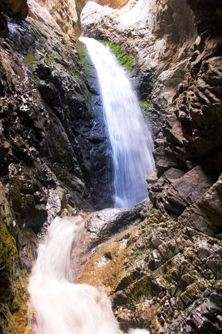
Venable Falls
Custer County, Colorado
Your visit at a glance
- Waterfall height
- Not recorded
- Location
- Custer County, Colorado
- Access status
- Visitor route to falls spur documented; distance to falls derived
- The walk
- Roughly 6 miles return (derived)
- Ground & access
- Steady, steep climb on rocky trail in the Sangre de Cristo Wilderness. High elevation; afternoon thunderstorms are common.
From the Venable-Comanche Trailhead, climb the steep, rocky doubletrack following signs for the Venable Trail, cross the Rainbow Trail, and sign the wilderness registry. The trail climbs steadily along Venable Creek through aspen and conifer forest. After a set of switchbacks, take the spur to Venable Falls. Return the same way.
Plan your visit
Venable-Comanche Trailhead via the Venable Trail to the spur for Venable Falls
Hiking Project gives 5.1 miles one way to Venable Lakes and says the lakes are about 2 miles beyond the falls. The falls are therefore roughly 3 miles each way; this is derived from those figures, not measured.
Steady, steep climb on rocky trail in the Sangre de Cristo Wilderness. High elevation; afternoon thunderstorms are common.
Where to start
Venable-Comanche Trailhead near Alvarado Campground, reached by a dirt road about 6 miles from Westcliffe. The Outbound says parking is limited.
Timing & water
Mid-July through September is best on the high trail; snow can linger on passes until mid-July. Lower falls section may open earlier; not verified.
Before you go
The Outbound says a free wilderness permit is required and available at the self-registration station at the trailhead. Fees not stated.
Visitor informationVisit sources
More waterfalls nearby
Within 40 straight-line miles. Road and trail distances will differ.