Upper Ingram Falls
San Miguel County, Colorado
Your visit at a glance
- Waterfall height
- Not recorded
- Location
- San Miguel County, Colorado
- Access status
- Partial guide: upper and lower Ingram drops are not separated by any source; closer approach unconfirmed
- The walk
- Viewpoint from the road end; distance to a closer view unknown
- Ground & access
- The Black Bear road above Bridal Veil Falls is a one-way, steep 4WD road for experienced drivers only; rental cars are not permitted. Ingram Creek can be a stream crossing at high flow.
Drive east through Telluride on Colorado Avenue to the end of the box canyon. Ingram Falls is the waterfall visible behind the town, often mistaken for Bridal Veil Falls. The Black Bear Pass road passes Ingram Falls above the Bridal Veil power plant. The sources read do not say which drop is the upper one.
Plan your visit
East end of Colorado Avenue at the end of the Telluride box canyon, view of Ingram Falls
Visitors see Ingram Falls from town and the end of the box canyon. No measured walking distance to the upper drop was found. Road distance is not a walk.
The Black Bear road above Bridal Veil Falls is a one-way, steep 4WD road for experienced drivers only; rental cars are not permitted. Ingram Creek can be a stream crossing at high flow.
Where to start
Limited parking at the end of the box canyon near the bottom of Bridal Veil Falls; obey all parking signs.
Timing & water
The 4WD road is closed in winter, and Visit Telluride discourages winter hiking toward the falls because of rockfall and avalanches.
Before you go
No fee information found.
Visitor informationVisit sources
More waterfalls nearby
Within 40 straight-line miles. Road and trail distances will differ.
- Lower Ingram FallsPartial guide: lower and upper Ingram drops are not separated by any source; closer approach unconfirmedSan Miguel County, CO0.0 miNW
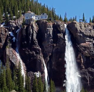 Bridal Veil FallsOfficial visitor route; winter hazards; distance not publishedSan Miguel County, CO0.5 miSW
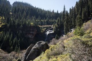 Bear Creek FallsOfficial trail route and distance documentedSan Miguel County, CO3.0 miW
- Sneffels Creek FallsOuray County, CO4.2 miN
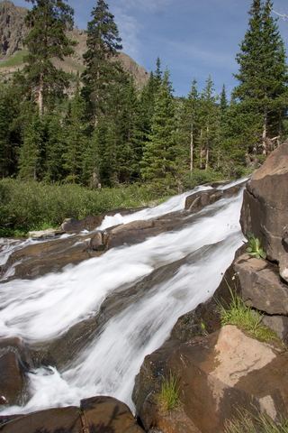 Lower Twin FallsOuray County, CO4.4 miN
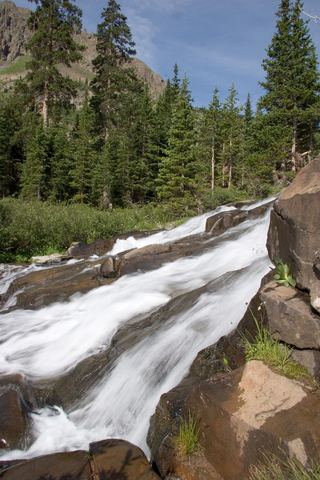 Upper Twin FallsOuray County, CO4.4 miN
- Bear Creek FallsRoadside overlook with parking documentedOuray County, CO7.7 miNE
- Clear Creek FallsPublished route and trailhead documented; current trail condition unverifiedSan Juan County, CO7.7 miS
 Ames FallsSan Miguel County, CO7.9 miSW