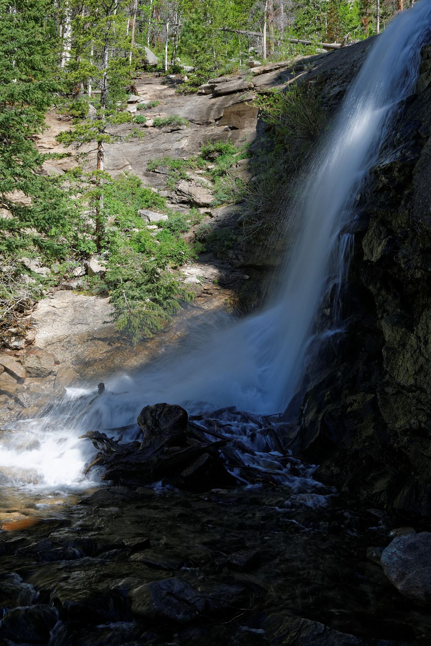
Waterfalls near Estes Park, CO
39 named waterfalls within 30 miles of Estes Park, closest first. Distances are straight-line from the town center.
Visits with route details
Read the walking route, starting point and current access notes.
- MacGregor FallsPartial guide: one undated visitor account; an unmarked connector and current trail condition are unconfirmedLarimer County, CO
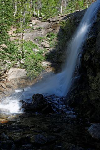 Bridal Veil FallsPark trail route and parking documented; entrance pass requiredLarimer County, CO
- West Creek FallsPublished route, distance and parking documentedLarimer County, CO
- Windy Gulch CascadesPublished visitor route documented; final section is an unmaintained social pathLarimer County, CO
 Horseshoe FallsOfficial accessible trail with falls view; entrance pass requiredLarimer County, CO
 Alberta FallsPublished trail distance, trailhead and park entry rules documentedLarimer County, CO
 Fern FallsPublished trail distance, trailhead and park entry rules documentedLarimer County, CO
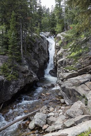 Chasm FallsPublished road parking and short path to viewing platform documented; road is seasonalLarimer County, CO
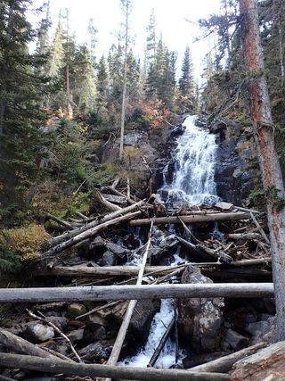 Marguerite FallsPartial guide: final section is an unmaintained social trail beside the creekLarimer County, CO
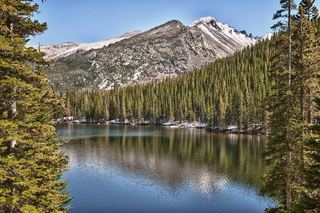 Glacier FallsPublished trail route with unmarked final spur; Bear Lake Road reservation season appliesLarimer County, CO
- Columbine FallsPark trail with falls views documented; entrance pass requiredLarimer County, CO
- Lost FallsPartial guide: final approach is on hidden social trails off the main trailLarimer County, CO
- Grace FallsPublished trail viewpoint documented; base of falls not recommendedLarimer County, CO
- Ribbon FallsPublished trail route and trailhead documented; Bear Lake Road reservation season appliesLarimer County, CO
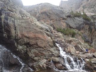 Timberline FallsPark trail route documented; Bear Lake Road reservations in seasonLarimer County, CO
- Lyric FallsPartial guide: last 0.75 mile is an unmaintained social trail with no markerBoulder County, CO
- Copeland FallsPublished trail distance and park entry rules documentedBoulder County, CO
- Lower Copeland FallsPublished trail route and trailhead parking documented; park entry rules applyBoulder County, CO
- Fan FallsPartial guide: final section is unmarked social trails above Thunder LakeBoulder County, CO
- Upper Copeland FallsPublished trail route and trailhead parking documented; park entry rules applyBoulder County, CO
- Hidden FallsPartial guide: winter climbing approach only; exact distance and summer route unknownBoulder County, CO
- North Inlet FallsPark trail route documented; long distance with conflicting mileageGrand County, CO
- Ouzel FallsPublished trail route and trailhead parking documented; park entry rules applyBoulder County, CO
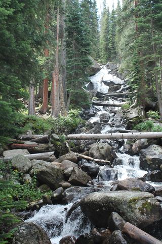 Calypso CascadesOfficial trail distance and park entry rules documentedBoulder County, CO
- Granite FallsOfficial trailhead and campsite distance documented; distances differ by sourceGrand County, CO
- Cascade FallsOfficial distance and published route; crosses private land on the old roadGrand County, CO
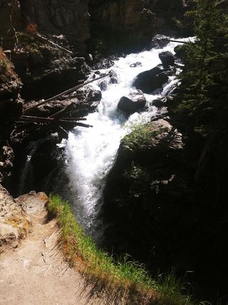 Adams FallsOfficial state trail map route and trailhead documented; park entry rules applyGrand County, CO
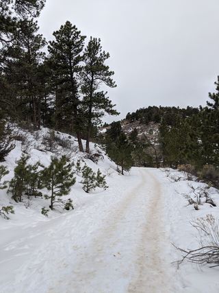 Horsetooth FallsPublished trail route and county trailhead documented; parking fee amount unconfirmedLarimer County, CO
- Disappointment FallsSource-reviewed trail junctions and parkingLarimer County, CO
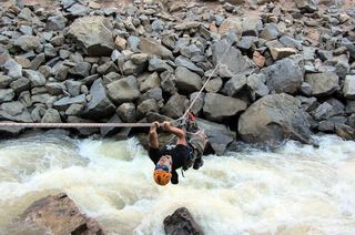 Boulder FallsTrail closed69 ft (21 m) · Boulder County, CO
Closest with a photo
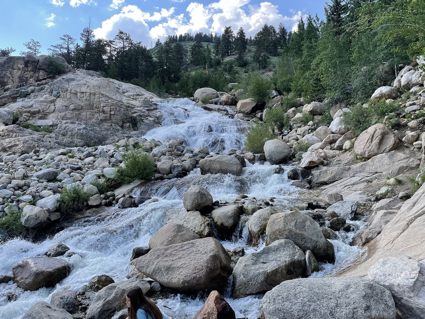
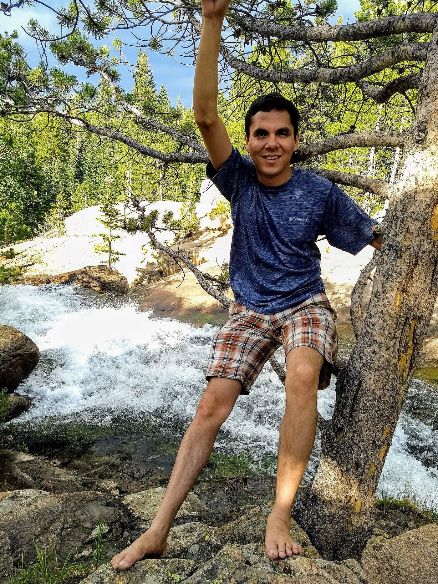
All 39 waterfalls
- MacGregor FallsPartial guide: one undated visitor account; an unmarked connector and current trail condition are unconfirmedLarimer County, CO3.1 miNW
- Bridal Veil FallsPark trail route and parking documented; entrance pass requiredLarimer County, CO4.3 miN
- West Creek FallsPublished route, distance and parking documentedLarimer County, CO5.1 miN
- Fox Creek FallsLarimer County, CO5.6 miN
- Windy Gulch CascadesPublished visitor route documented; final section is an unmaintained social pathLarimer County, CO6.3 miW
- Horseshoe FallsOfficial accessible trail with falls view; entrance pass requiredLarimer County, CO6.4 miW
- Thousand FallsLarimer County, CO7.9 miW
- Alberta FallsPublished trail distance, trailhead and park entry rules documentedLarimer County, CO8.0 miSW
- Fern FallsPublished trail distance, trailhead and park entry rules documentedLarimer County, CO8.0 miW
- Chasm FallsPublished road parking and short path to viewing platform documented; road is seasonalLarimer County, CO8.4 miW
- Marguerite FallsPartial guide: final section is an unmaintained social trail beside the creekLarimer County, CO8.5 miW
- Glacier FallsPublished trail route with unmarked final spur; Bear Lake Road reservation season appliesLarimer County, CO8.7 miSW
- Columbine FallsPark trail with falls views documented; entrance pass requiredLarimer County, CO9.0 miSW
- Lost FallsPartial guide: final approach is on hidden social trails off the main trailLarimer County, CO9.0 miN
- Grace FallsPublished trail viewpoint documented; base of falls not recommendedLarimer County, CO9.7 miSW
- Ribbon FallsPublished trail route and trailhead documented; Bear Lake Road reservation season appliesLarimer County, CO9.8 miSW
- Timberline FallsPark trail route documented; Bear Lake Road reservations in seasonLarimer County, CO10.0 miSW
- Lyric FallsPartial guide: last 0.75 mile is an unmaintained social trail with no markerBoulder County, CO11 miS
- Trio FallsBoulder County, CO12 miSW
- Thunder FallsBoulder County, CO12 miSW
- Copeland FallsPublished trail distance and park entry rules documentedBoulder County, CO12 miS
- Lower Copeland FallsPublished trail route and trailhead parking documented; park entry rules applyBoulder County, CO12 miS
- Fan FallsPartial guide: final section is unmarked social trails above Thunder LakeBoulder County, CO12 miSW
- Upper Copeland FallsPublished trail route and trailhead parking documented; park entry rules applyBoulder County, CO12 miS
- Hidden FallsPartial guide: winter climbing approach only; exact distance and summer route unknownBoulder County, CO12 miS
- North Inlet FallsPark trail route documented; long distance with conflicting mileageGrand County, CO13 miSW
- War Dance FallsGrand County, CO13 miSW
- Mertensia FallsBoulder County, CO13 miSW
- Ouzel FallsPublished trail route and trailhead parking documented; park entry rules applyBoulder County, CO13 miS
- Calypso CascadesOfficial trail distance and park entry rules documentedBoulder County, CO13 miS
- Grouse Hollow FallsLarimer County, CO14 miE
- Granite FallsOfficial trailhead and campsite distance documented; distances differ by sourceGrand County, CO14 miW
- Beaver FallsLarimer County, CO15 miN
- Cascade FallsOfficial distance and published route; crosses private land on the old roadGrand County, CO15 miSW
- Big South FallsLarimer County, CO16 miNW
- Adams FallsOfficial state trail map route and trailhead documented; park entry rules applyGrand County, CO18 miSW
- Horsetooth FallsPublished trail route and county trailhead documented; parking fee amount unconfirmedLarimer County, CO21 miNE
- Disappointment FallsSource-reviewed trail junctions and parkingLarimer County, CO26 miN
- Boulder FallsTrail closed69 ft (21 m) · Boulder County, CO26 miS