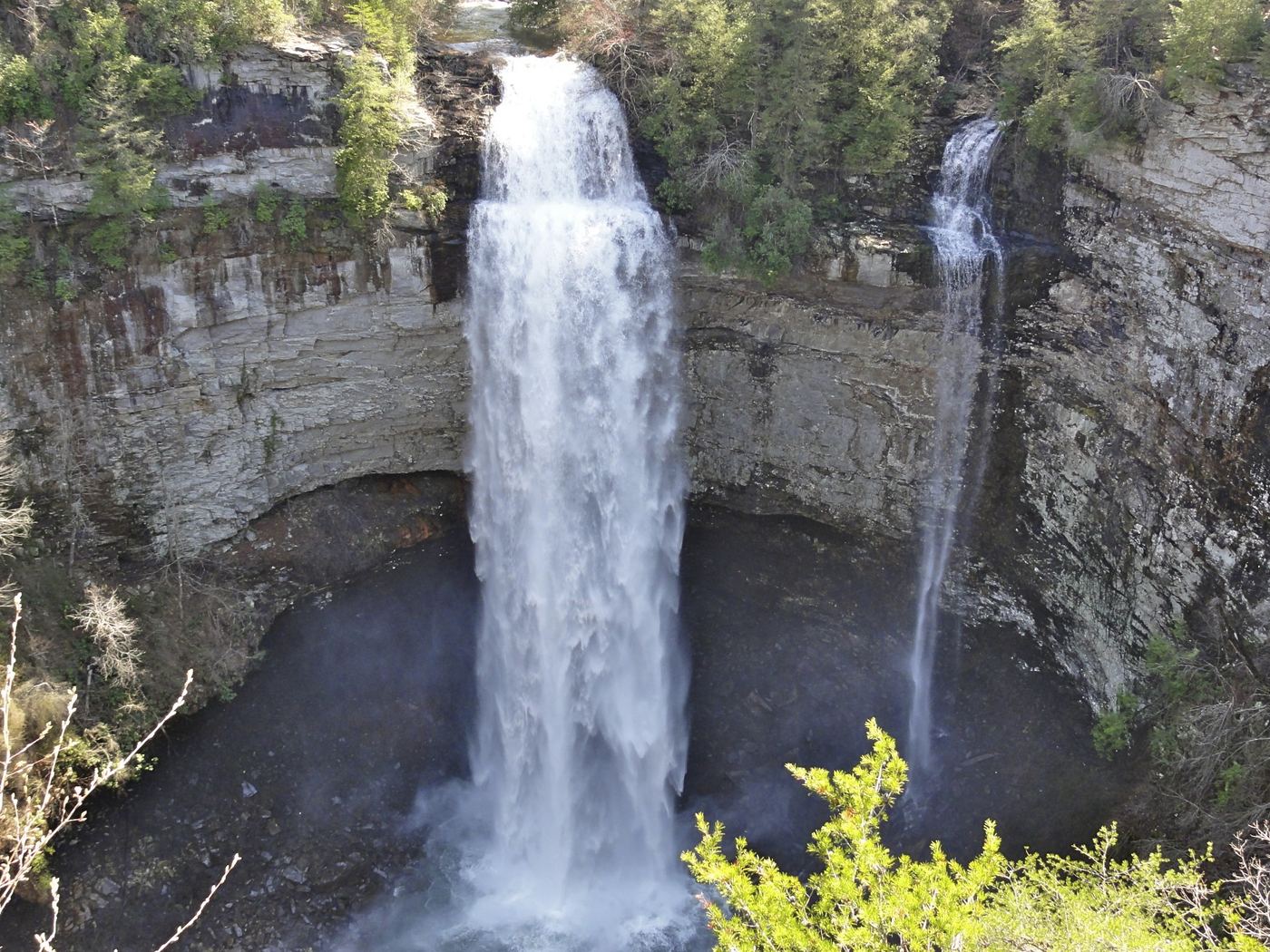
Fall Creek Falls
256 ft (78 m) · Van Buren County, TN
157 named waterfalls in 26 counties. Browse mapped locations and recorded heights. A map listing does not confirm public access or a walking route.
Read the walking route, starting point and current access notes.
 Grotto FallsResearched visit notesSevier County, TN
 Abrams FallsResearched visit notesBlount County, TN
 Coon Creek FallsSource-reviewed route and parking249 ft (76 m) · Van Buren County, TN
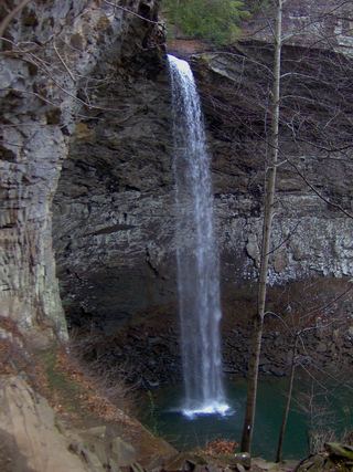 Ozone FallsResearched walking route112 ft (34 m) · Cumberland County, TN
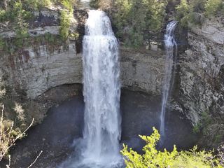 Fall Creek FallsResearched visit notes256 ft (78 m) · Van Buren County, TN
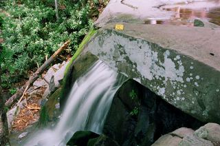 Laurel FallsTrail closedSevier County, TN
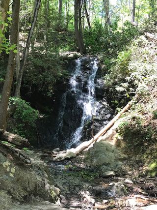 Cataract FallsGuide: short walk from Sugarlands Visitor CenterSevier County, TN
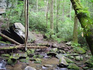 Baskins Creek FallsPartial guide: final approach is an unmaintained side pathSevier County, TN
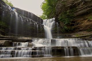 Cummins FallsGuide: overlook trail; permit needed for the baseJackson County, TN
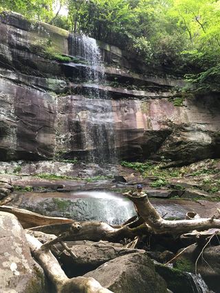 Rainbow FallsResearched visit notesSevier County, TN
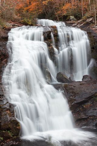 Bald River FallsRoadside viewing area and parking documented; USFS reports open.Monroe County, TN
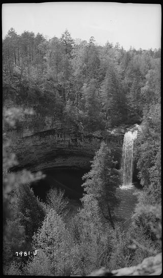 Foster Falls 60State park viewing platform and trailhead documentedMarion County, TN
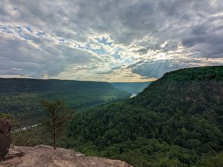 Julia Falls 95Overlook view from the Cumberland Trail; wet-weather fallsHamilton County, TN
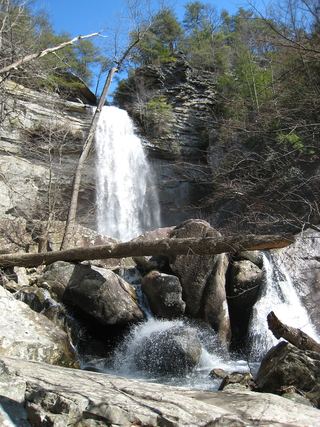 Laurel Falls 80State natural area trail route documentedRhea County, TN
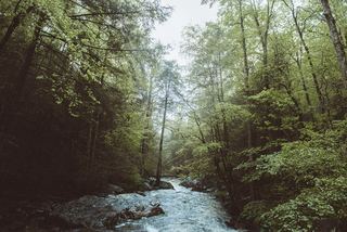 Rainbow Falls 40Partial guide: final descent is an unmaintained steep path; height differs between sourcesHamilton County, TN
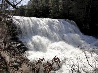 Canes Creek Cascades;Cane Creek FallsState park nature center access documented; short walkVan Buren County, TN
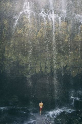 Virgin FallsState natural area trail and trailhead documented; long hike110 ft (33.5 m) · White County, TN
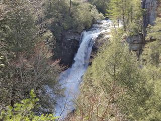 Piney Creek FallsGuide: short overlook trail from the Piney Falls parking lotVan Buren County, TN
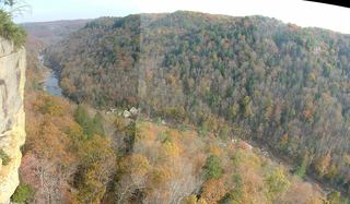 Angel FallsNational park trail and trailhead documentedScott County, TN
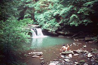 Blue Hole FallsState park trail route and trailhead documentedGrundy County, TN
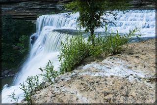 Burgess FallsOfficial state park trail loop and parking documentedPutnam County, TN
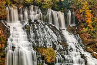 Twin FallsState park overlook and parking documentedWhite County, TN
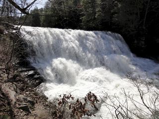 Cane Creek FallsState park overlooks and trail documentedVan Buren County, TN
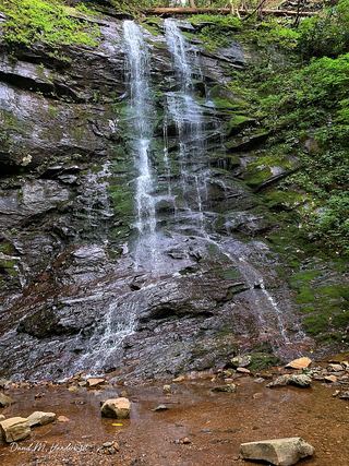 Sill Branch FallsGuide: short forest trail; keep left at the forkUnicoi County, TN
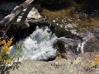 Splash Dam FallsPartial guide: unmarked side path and unofficial connector; scramble to the baseCarter County, TN
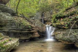 Big Laurel FallsState natural area trail to the base of the fallsWhite County, TN
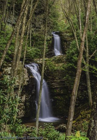 Gentry Creek FallsResearched walking routeJohnson County, TN
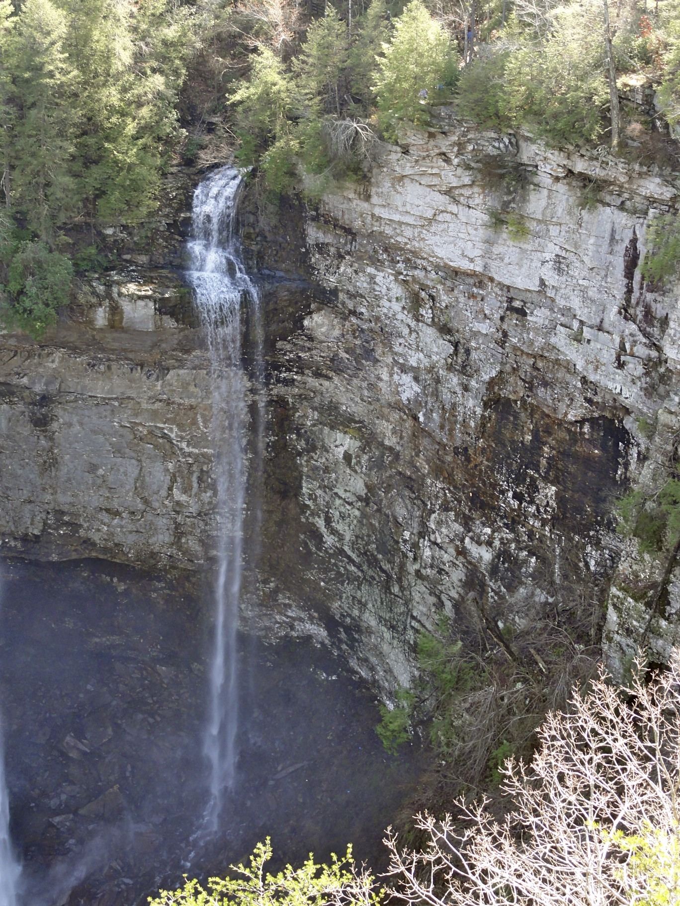
256 ft (78 m) · Van Buren County, TN
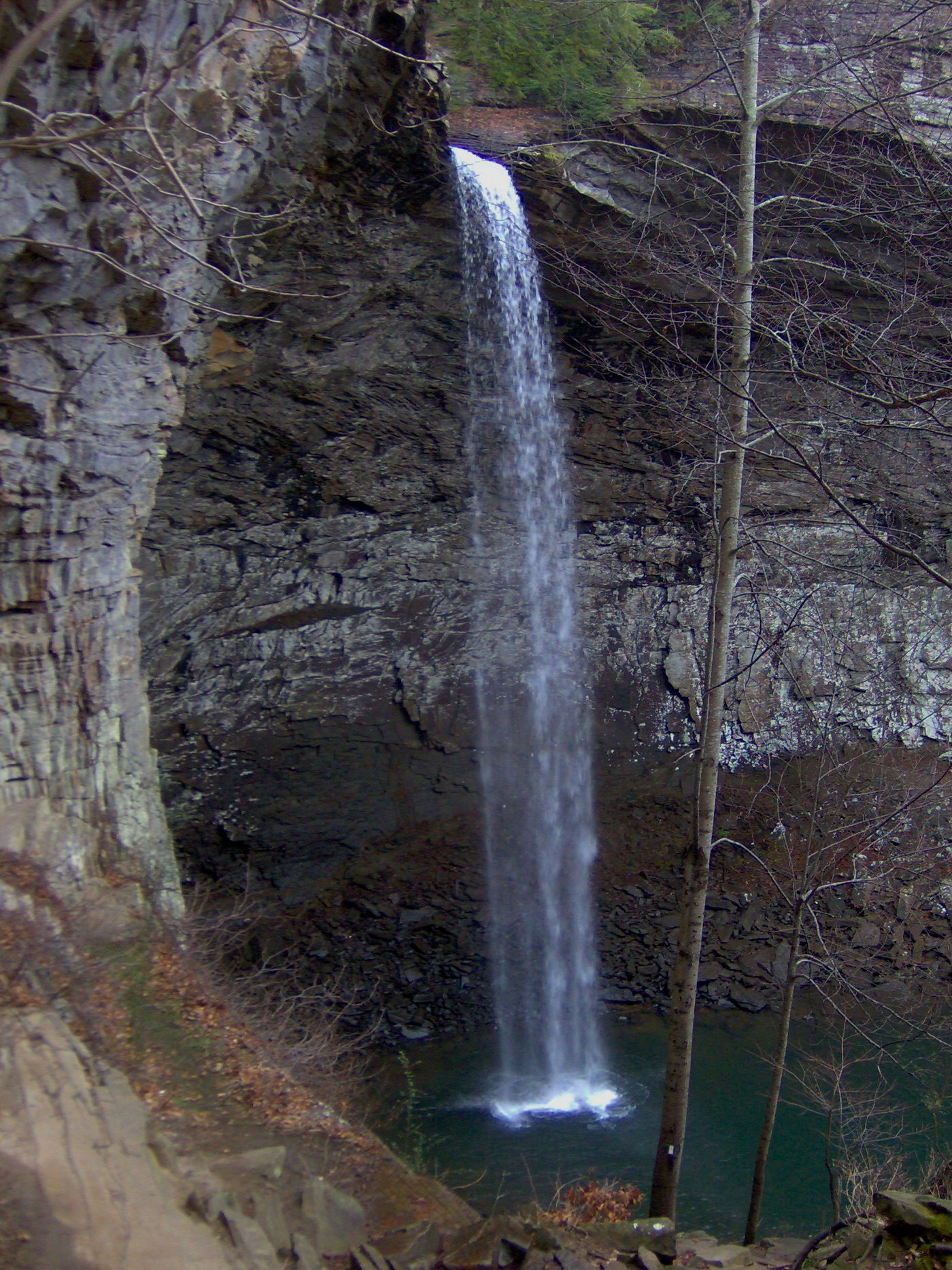
249 ft (76 m) · Van Buren County, TN
112 ft (34 m) · Cumberland County, TN
Virgin FallsState natural area trail and trailhead documented; long hike110 ft (33.5 m) · White CountyJulia Falls 95Overlook view from the Cumberland Trail; wet-weather fallsHamilton CountyRainbow Falls 40Partial guide: final descent is an unmaintained steep path; height differs between sourcesHamilton CountyBaskins Creek FallsPartial guide: final approach is an unmaintained side pathSevier CountyCataract FallsGuide: short walk from Sugarlands Visitor CenterSevier CountyGrotto FallsResearched visit notesSevier CountyLaurel FallsTrail closedSevier CountyRainbow FallsResearched visit notesSevier CountyLaurel Falls 80State natural area trail route documentedRhea CountyFoster Falls 60State park viewing platform and trailhead documentedMarion CountyBlue Hole FallsState park trail route and trailhead documentedGrundy CountySill Branch FallsGuide: short forest trail; keep left at the forkUnicoi CountySplash Dam FallsPartial guide: unmarked side path and unofficial connector; scramble to the baseCarter CountyAbrams FallsResearched visit notesBlount County White Oak Sinks FallsBlount CountyBald River FallsRoadside viewing area and parking documented; USFS reports open.Monroe CountyCane Creek FallsState park overlooks and trail documentedVan Buren CountyCanes Creek Cascades;Cane Creek FallsState park nature center access documented; short walkVan Buren CountyCoon Creek FallsSource-reviewed route and parking249 ft (76 m) · Van Buren CountyFall Creek FallsResearched visit notes256 ft (78 m) · Van Buren CountyPiney Creek FallsGuide: short overlook trail from the Piney Falls parking lotVan Buren County
 Rockhouse Creek FallsVan Buren CountyBig Laurel FallsState natural area trail to the base of the fallsWhite CountyTwin FallsState park overlook and parking documentedWhite CountyVirgin FallsState natural area trail and trailhead documented; long hike110 ft (33.5 m) · White CountyBurgess FallsOfficial state park trail loop and parking documentedPutnam County