Waterfalls near Tellico Village, TN
22 named waterfalls within 30 miles of Tellico Village, closest first. Distances are straight-line from the town center.
Visits with route details
Read the walking route, starting point and current access notes.
 Abrams FallsResearched visit notesBlount County, TN
- Lower FallsGuide: wilderness trail with a creek fordMonroe County, TN
- Baby FallsPartial notes: parking documented; pedestrian approach unverified.Monroe County, TN
- Falls Branch FallsResearched visit notes98 ft (30 m) · Monroe County, TN
 Bald River FallsRoadside viewing area and parking documented; USFS reports open.Monroe County, TN
- Twentymile Creek CascadeOfficial national park route; parking tag requiredSwain County, NC
- Conasauga FallsRoute and parking researchedMonroe County, TN
- Sand Creek FallsForest road and overgrown path in Nantahala National ForestGraham County, NC
- Crooked Arm CascadesNational park trail route documented; flow can be lowBlount County, TN
- Lower Cold Branch FallsRoadside view from a forest road; steep scramble to baseGraham County, NC
- Yellow Creek FallsSigned trail on protected land open to the public26 ft (8 m) · Graham County, NC
- Verlie FallsRoadside waterfall with a pull-offGraham County, NC
Closest with a photo
All 22 waterfalls
- Abrams FallsResearched visit notesBlount County, TN22 miE
- Lower FallsGuide: wilderness trail with a creek fordMonroe County, TN22 miSE
- Wildcat FallsMonroe County, TN23 miSE
- Aiken Branch FallsSwain County, NC24 miSE
- Bear Creek FallsGraham County, NC25 miSE
- Bear Creek Falls (Cheoah)Graham County, NC25 miSE
- Baby FallsPartial notes: parking documented; pedestrian approach unverified.Monroe County, TN25 miS
- Falls Branch FallsResearched visit notes98 ft (30 m) · Monroe County, TN25 miSE
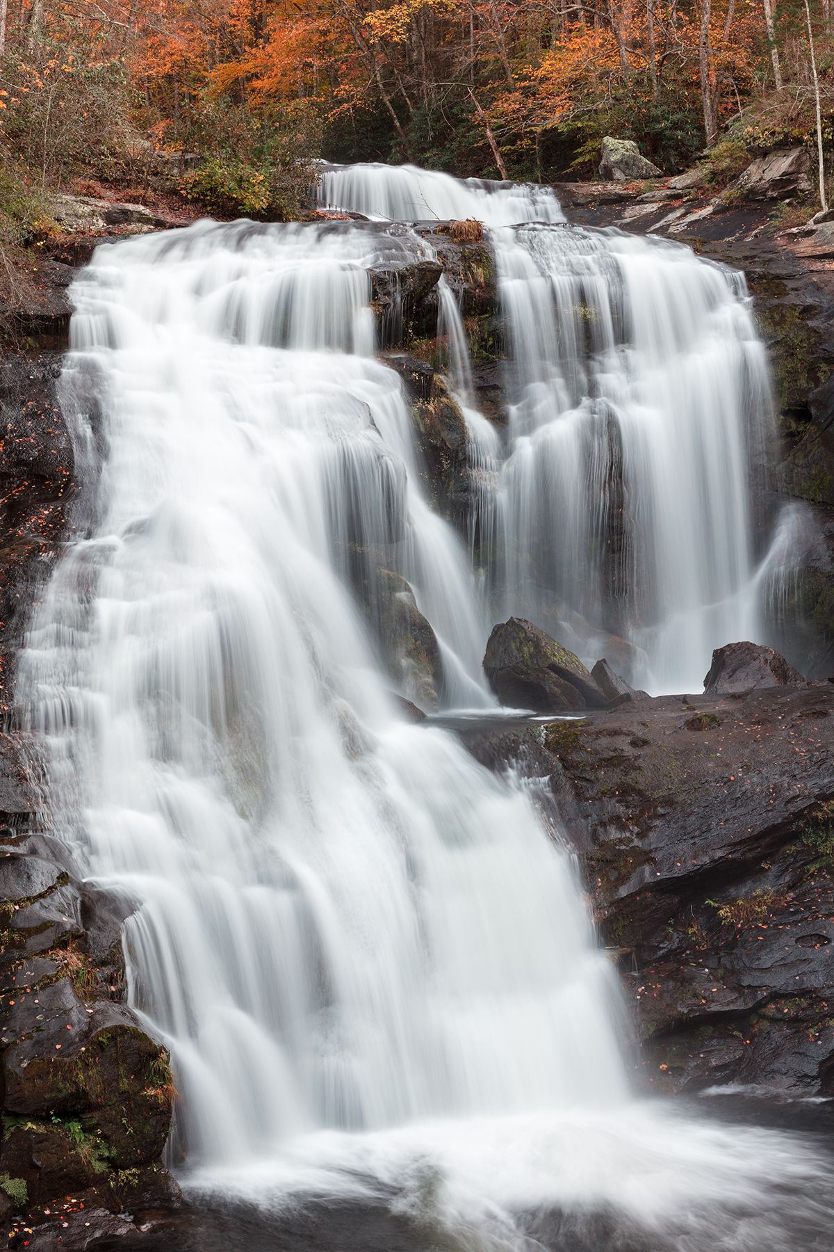
- Bald River FallsRoadside viewing area and parking documented; USFS reports open.Monroe County, TN25 miS
- Judy Branch FallsSwain County, NC26 miSE
- Twentymile Creek CascadeOfficial national park route; parking tag requiredSwain County, NC26 miSE
- Conasauga FallsRoute and parking researchedMonroe County, TN27 miS
- Sand Creek FallsForest road and overgrown path in Nantahala National ForestGraham County, NC27 miSE
- Violet FallsGraham County, NC27 miSE
- Crooked Arm CascadesNational park trail route documented; flow can be lowBlount County, TN27 miE
- Wolf Laurel FallsGraham County, NC27 miSE
- Upper Cold Branch Falls39 ft (12 m) · Graham County, NC27 miSE
- Lower Cold Branch FallsRoadside view from a forest road; steep scramble to baseGraham County, NC28 miSE
- Yellow Creek FallsSigned trail on protected land open to the public26 ft (8 m) · Graham County, NC28 miSE
- Boyd Hollow FallsKnox County, TN28 miNE
- Verlie FallsRoadside waterfall with a pull-offGraham County, NC29 miSE
 White Oak Sinks FallsBlount County, TN29 miE