Waterfalls near Dayton, TN
41 named waterfalls within 30 miles of Dayton, closest first. Distances are straight-line from the town center.
Visits with route details
Read the walking route, starting point and current access notes.
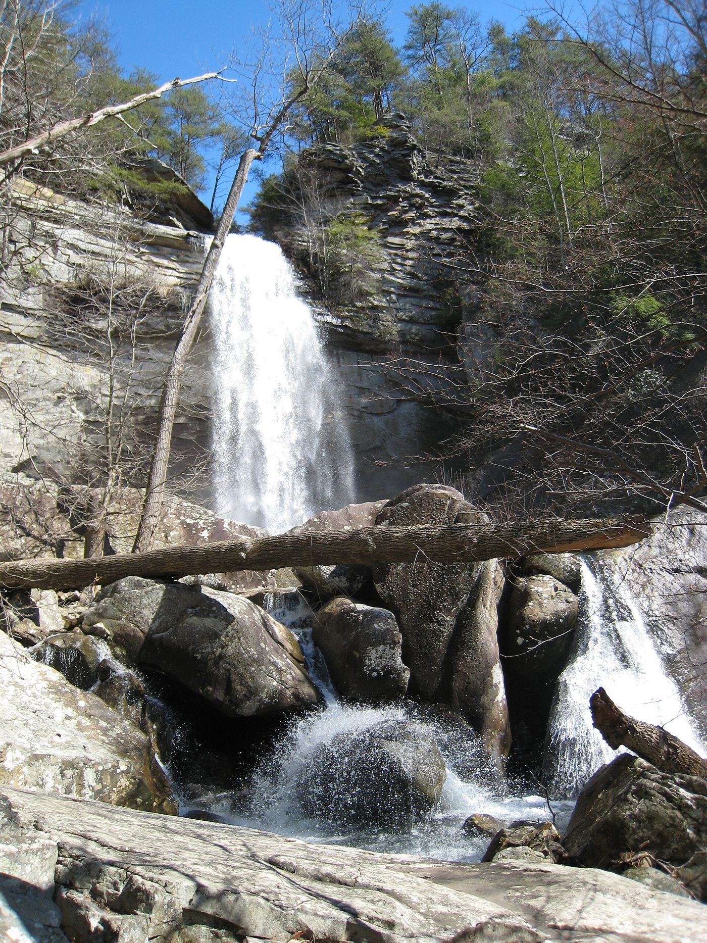
 Laurel Falls 80State natural area trail route documentedRhea County, TN
- Snow Falls 12State natural area trail route documented; long hike with a creek fordRhea County, TN
- McGill Creek FallsGuide: Cumberland Trail in-and-out hike to the fallsHamilton County, TN
- Legget Branch Falls 30Guide: Cumberland Trail hike to a stream crossing with cascadesHamilton County, TN
- Imodium FallsCumberland Trail route and trailhead documented; long, strenuous hike25 ft (7.6 m) · Hamilton County, TN
- White Pine Cascades 28Guide: long Cumberland Trail hike from Shut-In Gap RoadRhea County, TN
- Stinging Fork Falls 60State natural area trail and parking documentedRhea County, TN
- Upper Piney Falls 80Guide: state natural area trail to the falls and ledgeRhea County, TN
- Stripmine FallsClosed for entrance and parking constructionHamilton County, TN
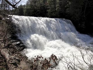 Cane Creek FallsState park overlooks and trail documentedVan Buren County, TN
 Canes Creek Cascades;Cane Creek FallsState park nature center access documented; short walkVan Buren County, TN
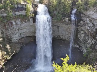 Fall Creek FallsResearched visit notes256 ft (78 m) · Van Buren County, TN
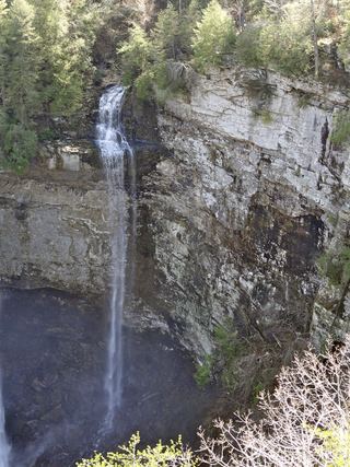 Coon Creek FallsSource-reviewed route and parking249 ft (76 m) · Van Buren County, TN
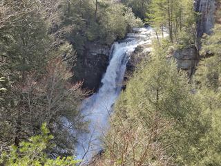 Piney Creek FallsGuide: short overlook trail from the Piney Falls parking lotVan Buren County, TN
- Falling Water Falls 110Guide: short trail to the top of the falls; very small parking areaHamilton County, TN
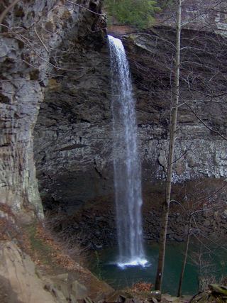 Ozone FallsResearched walking route112 ft (34 m) · Cumberland County, TN
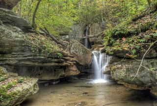 Big Laurel FallsState natural area trail to the base of the fallsWhite County, TN
- Big Branch FallsState natural area trail passes the falls; distance to this falls not publishedWhite County, TN
 Virgin FallsState natural area trail and trailhead documented; long hike110 ft (33.5 m) · White County, TN
Closest with a photo
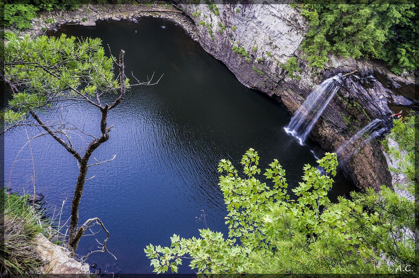
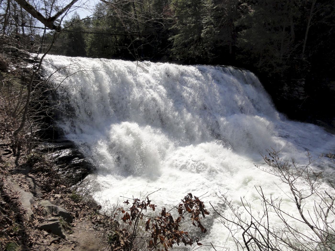
All 41 waterfalls
- Paine Creek Falls 10Rhea County, TN2.4 miN
- Sale Creek Falls 40Rhea County, TN3.0 miNW
- North Pole Falls 17Rhea County, TN3.5 miNW
- Laurel Falls 80State natural area trail route documentedRhea County, TN3.7 miN
- Morphy Falls 12Rhea County, TN3.9 miNW
- Snow Falls 12State natural area trail route documented; long hike with a creek fordRhea County, TN3.9 miN
- Brush Creek Falls 20Rhea County, TN5.2 miW
- Wildcat Hollow FallsRhea County, TN5.5 miW
- McGill Creek FallsGuide: Cumberland Trail in-and-out hike to the fallsHamilton County, TN7.5 miSW
- Legget Branch Falls 30Guide: Cumberland Trail hike to a stream crossing with cascadesHamilton County, TN9.4 miSW
- Little Possum Falls 25Hamilton County, TN13 miSW
- Imodium FallsCumberland Trail route and trailhead documented; long, strenuous hike25 ft (7.6 m) · Hamilton County, TN13 miSW
- Richey Ridge Falls 18Hamilton County, TN14 miSW
- White Pine Cascades 28Guide: long Cumberland Trail hike from Shut-In Gap RoadRhea County, TN14 miN
- Deep Pool Cascades 8Rhea County, TN15 miN
- Hemlock FallsRhea County, TN15 miN
- Pine Branch FallsRhea County, TN15 miN
- Stinging Fork Falls 60State natural area trail and parking documentedRhea County, TN16 miN
- Keaton FallsBledsoe County, TN18 miN
- Lower Piney Falls 40Rhea County, TN18 miNE
- Upper Piney Falls 80Guide: state natural area trail to the falls and ledgeRhea County, TN18 miNE
- Cooper Creek FallsHamilton County, TN21 miSW
- Stripmine FallsClosed for entrance and parking constructionHamilton County, TN21 miSW
- Stevenson Branch FallsHamilton County, TN21 miSW
- Hogskin BranchHamilton County, TN21 miSW
- Ray FallsRhea County, TN22 miNE
- Power Line Falls 140Hamilton County, TN22 miSW
- Clear Branch Falls 40Hamilton County, TN22 miSW
 Rockhouse Creek FallsVan Buren County, TN22 miNW
- Cane Creek FallsState park overlooks and trail documentedVan Buren County, TN22 miNW
- Canes Creek Cascades;Cane Creek FallsState park nature center access documented; short walkVan Buren County, TN22 miNW
- Vortex FallsHamilton County, TN23 miSW
- Fall Creek FallsResearched visit notes256 ft (78 m) · Van Buren County, TN23 miNW
- Coon Creek FallsSource-reviewed route and parking249 ft (76 m) · Van Buren County, TN23 miNW
- Mystery Falls 8Hamilton County, TN23 miSW
- Piney Creek FallsGuide: short overlook trail from the Piney Falls parking lotVan Buren County, TN24 miNW
- Falling Water Falls 110Guide: short trail to the top of the falls; very small parking areaHamilton County, TN26 miSW
- Ozone FallsResearched walking route112 ft (34 m) · Cumberland County, TN29 miNE
- Big Laurel FallsState natural area trail to the base of the fallsWhite County, TN29 miNW
- Big Branch FallsState natural area trail passes the falls; distance to this falls not publishedWhite County, TN29 miNW
- Virgin FallsState natural area trail and trailhead documented; long hike110 ft (33.5 m) · White County, TN30 miNW