Laurel Falls 80
Rhea County, Tennessee
Your visit at a glance
- Waterfall height
- Not recorded
- Location
- Rhea County, Tennessee
- Access status
- State natural area trail route documented
- The walk
- About 1.7 miles to the fork, then 0.7 mile up the Laurel Falls spur, per the Cumberland Trail Conservancy; Go Waterfalling gives 1.5 miles one way
- Ground & access
- Flat old railbed at first, then a steep climb with switchbacks; at one point the route passes through a hole in the rocks. Use care crossing streams and near the tops of waterfalls.
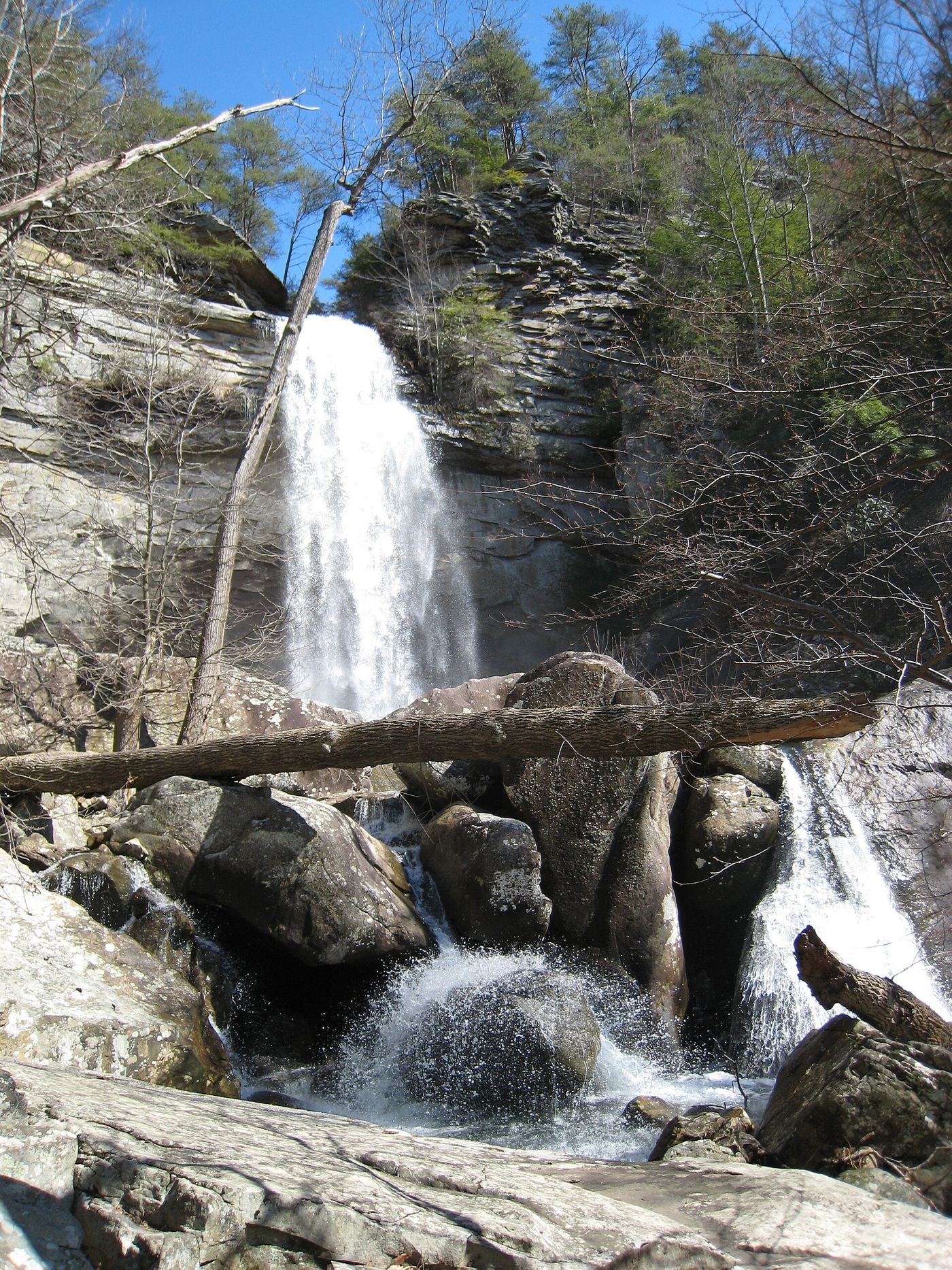
Laurel Falls is an 80-foot waterfall on Laurel Creek in Laurel-Snow State Natural Area near Dayton. The trail starts wide and flat on an old railbed along Richland Creek, past old mine entrances (do not enter). After a metal bridge over Laurel Creek, the trail forks at mile 1.7; take the right fork toward Laurel Falls. The spur climbs steadily and reaches the foot of the falls at mile 0.7. The trail continues steeply to the left of the falls to overlooks on the plateau. Return the same way.
Plan your visit
Laurel-Snow State Natural Area parking at the end of Richland Creek Road, Cumberland Trail along Richland Creek to the fork at mile 1.7, then the Laurel Falls spur to the foot of the falls
The Cumberland Trail Conservancy puts the Laurel Falls fork at mile 1.7 from the parking lot and the foot of Laurel Falls at mile 0.7 of the spur. Go Waterfalling gives 1.5 miles one way. The sources differ.
Flat old railbed at first, then a steep climb with switchbacks; at one point the route passes through a hole in the rocks. Use care crossing streams and near the tops of waterfalls.
Where to start
Parking area at the end of Richland Creek Road. From US 27 north of Dayton, take Walnut Grove Road about 0.7 mile, turn left on Back Valley Road for 0.7 mile, then turn right on the gravel Richland Creek Road for about 1 mile.
Timing & water
Gates are open 8:00 a.m. to 7:00 p.m. The falls can be low in the dry peak of summer.
Before you go
No fee is mentioned. Overnight camping requires registration through Cumberland Trail State Park.
Visitor informationVisit sources
More waterfalls nearby
Within 40 straight-line miles. Road and trail distances will differ.
- Snow Falls 12State natural area trail route documented; long hike with a creek fordRhea County, TN0.8 miW
- North Pole Falls 17Rhea County, TN1.0 miSW
- Paine Creek Falls 10Rhea County, TN1.3 miS
- Morphy Falls 12Rhea County, TN2.2 miSW
- Sale Creek Falls 40Rhea County, TN2.5 miSW
- Brush Creek Falls 20Rhea County, TN6.2 miSW
- Wildcat Hollow FallsRhea County, TN7.3 miSW
- McGill Creek FallsGuide: Cumberland Trail in-and-out hike to the fallsHamilton County, TN9.5 miSW
- White Pine Cascades 28Guide: long Cumberland Trail hike from Shut-In Gap RoadRhea County, TN11 miNE