Ozone Falls
Cumberland County, Tennessee
Your visit at a glance
- Waterfall height
- 112 ft (34 m)
- Location
- Cumberland County, Tennessee
- Access status
- Researched walking route
- The walk
- Waterfall approach distance not stated
- Ground & access
- Rocky gorge descent and stonework. TDEC describes the natural-area trail as rugged.
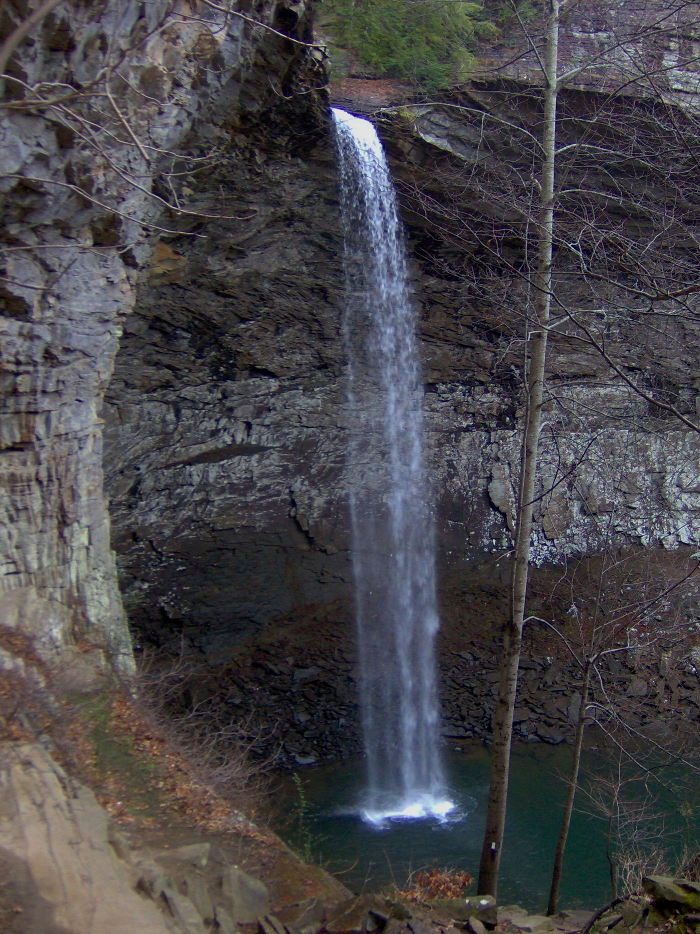
A rugged descent reaches the base from the signed US 70 natural-area parking. The longer Black Mountain route is a different approach.
Plan your visit
From the US 70 parking-area kiosk, take the path right, parallel to the highway for about 200 feet, then descend into the gorge to the bottom of the falls. Return to the same parking area.
The conservancy’s 200 feet is only the initial path beside US 70. TDEC describes a 0.75-mile trail continuing to Renfro Creek with backtracking; that is not a stated waterfall-only return distance.
Rocky gorge descent and stonework. TDEC describes the natural-area trail as rugged.
Where to start
Signed Ozone Falls State Natural Area lot beside US 70, about four miles east of the I-40 Crab Orchard exit. Conservancy reports room for 6–8 vehicles.
Timing & water
TDEC lists public access from sunrise to sunset as checked October 27, 2026.
Before you go
Fee or booking requirements not stated in reviewed sources.
Visitor informationMore waterfalls nearby
Within 40 straight-line miles. Road and trail distances will differ.
- Ray FallsRhea County, TN7.1 miS
- Upper Piney Falls 80Guide: state natural area trail to the falls and ledgeRhea County, TN11 miS
- Lower Piney Falls 40Rhea County, TN11 miS
- Keaton FallsBledsoe County, TN13 miSW
- Stinging Fork Falls 60State natural area trail and parking documentedRhea County, TN13 miSW
- Pine Branch FallsRhea County, TN14 miSW
- Hemlock FallsRhea County, TN14 miSW
- Deep Pool Cascades 8Rhea County, TN14 miSW
- White Pine Cascades 28Guide: long Cumberland Trail hike from Shut-In Gap RoadRhea County, TN15 miSW