Big Laurel Falls
White County, Tennessee
Your visit at a glance
- Waterfall height
- Not recorded
- Location
- White County, Tennessee
- Access status
- State natural area trail to the base of the falls
- The walk
- About 2.2 to 2.5 miles one way; sources differ
- Ground & access
- Rough, narrow and rocky trail with a boulder field and a cable crossing of Big Laurel Creek. The state says not to cross if the creek is flooding.
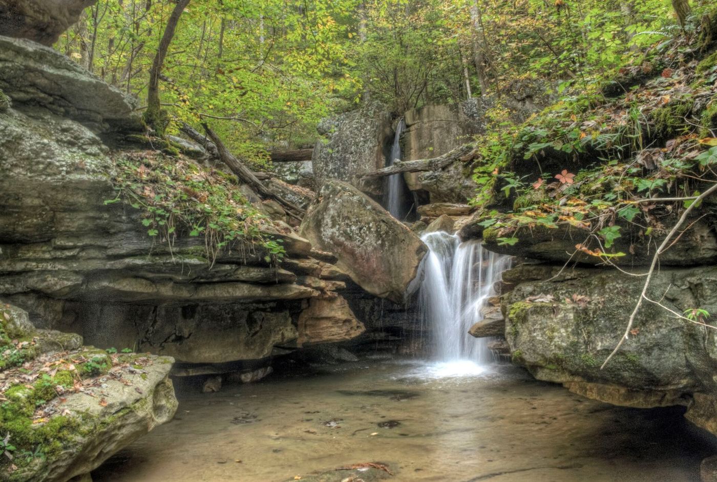
Big Laurel Falls drops about 45 feet into a large rock overhang on Big Laurel Creek in Virgin Falls State Natural Area. Start on the Virgin Falls Trail at the north end of the parking lot. The trail follows Big Branch and Big Laurel Creek past Big Branch Falls, crosses Big Laurel Creek on a cable crossing at 1.5 miles, and continues high on the ravine past caves and rock houses to the base of Big Laurel Falls. Virgin Falls is about 2.1 miles farther. Return the same way.
Plan your visit
Virgin Falls State Natural Area parking on Scotts Gulf Road, Virgin Falls Trail along Big Laurel Creek to the base of Big Laurel Falls
A visitor account gives 2.2 miles one way by the main route (2.7 miles by the overlook route); Hiking Project reaches the base at about the 2.5-mile mark. Return the same way.
Rough, narrow and rocky trail with a boulder field and a cable crossing of Big Laurel Creek. The state says not to cross if the creek is flooding.
Where to start
Virgin Falls State Natural Area parking lot on the west side of Scotts Gulf Road near Sparta: from US 70 take Eastland Road 6 miles to Scotts Gulf Road, then 2 miles, per the state.
Timing & water
All caves in the natural area are closed to recreational use because of white-nose syndrome.
Before you go
Landscape Imagery lists no fees. Backcountry campers must reserve a designated campsite online, per the state.
Visitor informationVisit sources
- TDEC: Virgin Falls State Natural Area
- TDEC: Virgin Falls State Natural Area
- TDEC: Virgin Falls State Natural Area
- TDEC: Virgin Falls State Natural Area
- TDEC: Virgin Falls State Natural Area
- Landscape Imagery: Virgin Falls State Natural Area
- Hiking Project: Virgin Falls Lollipop
- Hiking Project: Virgin Falls Lollipop
- Landscape Imagery: Virgin Falls State Natural Area
- Landscape Imagery: Virgin Falls State Natural Area
More waterfalls nearby
Within 40 straight-line miles. Road and trail distances will differ.
- Big Branch FallsState natural area trail passes the falls; distance to this falls not publishedWhite County, TN0.7 miNE
 Virgin FallsState natural area trail and trailhead documented; long hike110 ft (33.5 m) · White County, TN1.3 miW
- Lost Creek FallsState natural area trail and parking documentedWhite County, TN2.9 miW
 Piney Creek FallsGuide: short overlook trail from the Piney Falls parking lotVan Buren County, TN13 miS
 Fall Creek FallsResearched visit notes256 ft (78 m) · Van Buren County, TN13 miS
 Coon Creek FallsSource-reviewed route and parking249 ft (76 m) · Van Buren County, TN13 miS
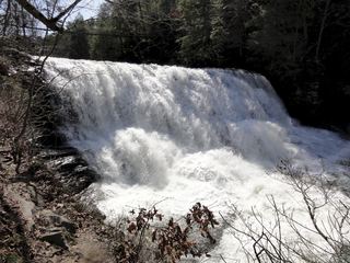 Cane Creek FallsState park overlooks and trail documentedVan Buren County, TN13 miS
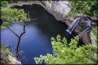 Rockhouse Creek FallsVan Buren County, TN13 miS
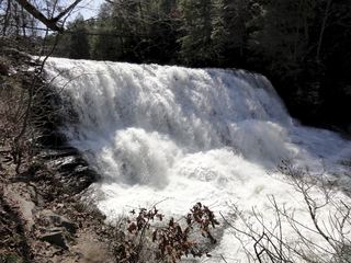 Canes Creek Cascades;Cane Creek FallsState park nature center access documented; short walkVan Buren County, TN13 miS