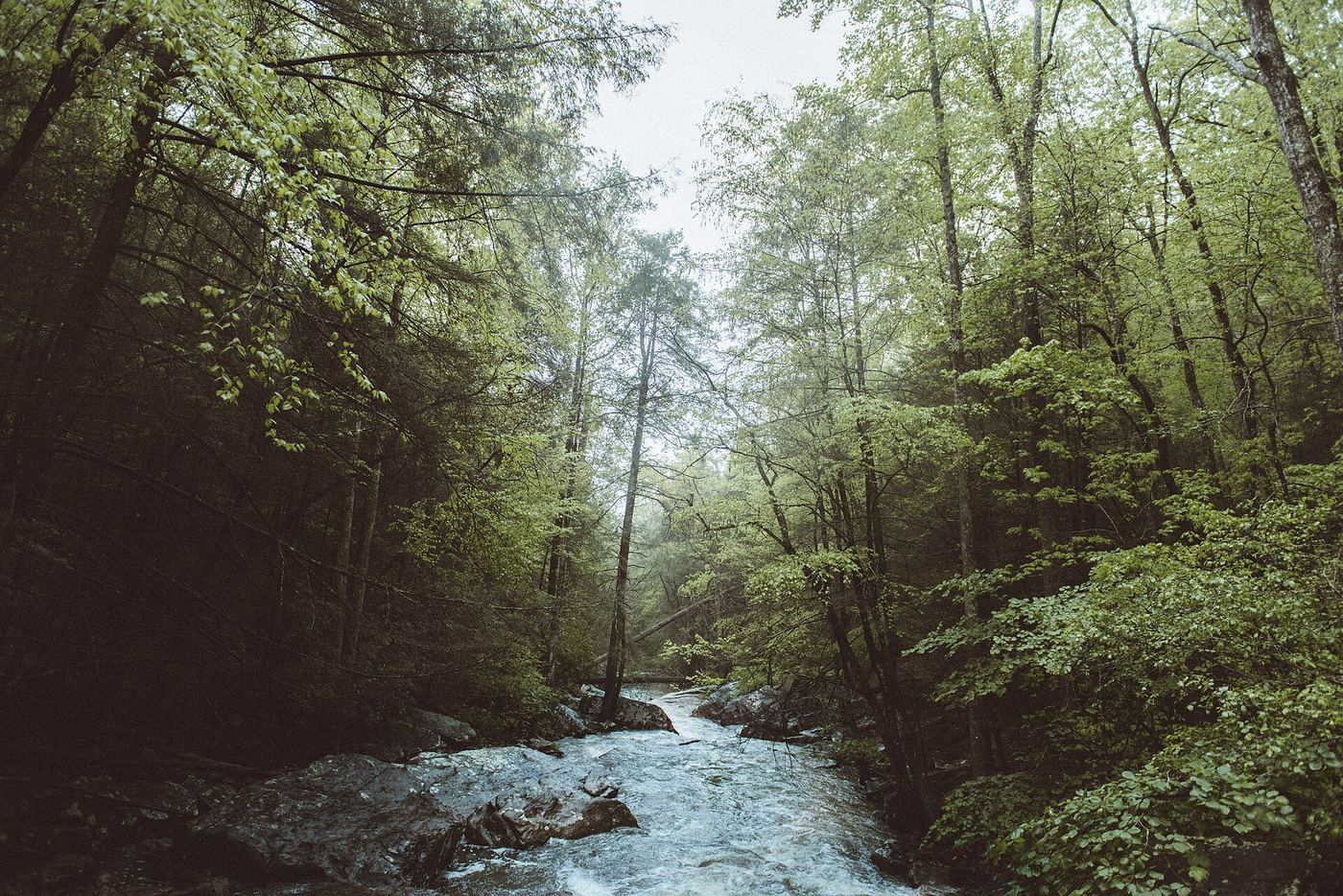
Waterfalls near Dunlap, TN
57 named waterfalls within 30 miles of Dunlap, closest first. Distances are straight-line from the town center.
Visits with route details
Read the walking route, starting point and current access notes.
- Savage FallsState park trail route and trailhead documentedGrundy County, TN
- Stripmine FallsClosed for entrance and parking constructionHamilton County, TN
- Suter FallsGuide: difficult trail into the Collins River gorgeGrundy County, TN
- Imodium FallsCumberland Trail route and trailhead documented; long, strenuous hike25 ft (7.6 m) · Hamilton County, TN
- Horsepound FallsGuide: difficult river-gorge trail past Suter FallsGrundy County, TN
- Legget Branch Falls 30Guide: Cumberland Trail hike to a stream crossing with cascadesHamilton County, TN
- Falling Water Falls 110Guide: short trail to the top of the falls; very small parking areaHamilton County, TN
- Ranger FallsPartial guide: trails and trailhead named; turn-by-turn route and distance to the falls not givenGrundy County, TN
- McGill Creek FallsGuide: Cumberland Trail in-and-out hike to the fallsHamilton County, TN
 Rainbow Falls 40Partial guide: final descent is an unmaintained steep path; height differs between sourcesHamilton County, TN
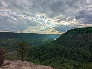 Julia Falls 95Overlook view from the Cumberland Trail; wet-weather fallsHamilton County, TN
- Greeter FallsState park trail route and trailhead documented; steep stairsGrundy County, TN
- Blowing Wind FallsRitchie Hollow Trail from the river or from the plateauMarion County, TN
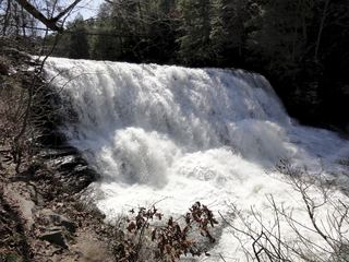 Canes Creek Cascades;Cane Creek FallsState park nature center access documented; short walkVan Buren County, TN
 Cane Creek FallsState park overlooks and trail documentedVan Buren County, TN
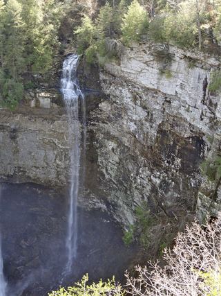 Coon Creek FallsSource-reviewed route and parking249 ft (76 m) · Van Buren County, TN
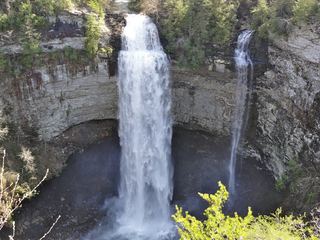 Fall Creek FallsResearched visit notes256 ft (78 m) · Van Buren County, TN
- Horsehair Falls 80State park trail to viewpoint documented; unfenced cliff edgeMarion County, TN
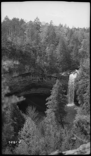 Foster Falls 60State park viewing platform and trailhead documentedMarion County, TN
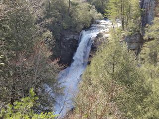 Piney Creek FallsGuide: short overlook trail from the Piney Falls parking lotVan Buren County, TN
- Denny Cove FallsGuide: difficult trail with boulder fields to the baseMarion County, TN
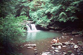 Blue Hole FallsState park trail route and trailhead documentedGrundy County, TN
- Hanes Hole FallsState park loop trail and trailhead documentedGrundy County, TN
- Black Canyon FallsState natural area trail passes the fallsGrundy County, TN
- Sycamore FallsState park trail route and trailhead documentedGrundy County, TN
- Snow Falls 12State natural area trail route documented; long hike with a creek fordRhea County, TN
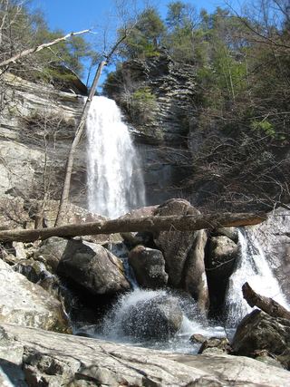 Laurel Falls 80State natural area trail route documentedRhea County, TN
- Glen Falls 15Guide: short park trail; falls are seasonalHamilton County, TN
- High FallsPartial guide: inside a paid attraction; falls coordinates not confirmed by Rock City100 ft (30.5 m) · Walker County, GA
Closest with a photo
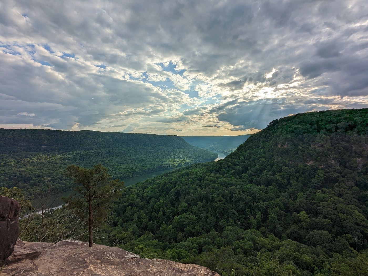
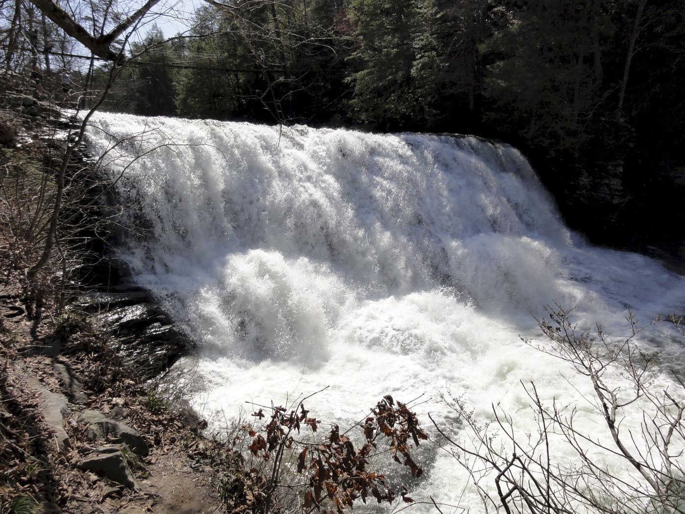
All 57 waterfalls
- Vortex FallsHamilton County, TN9.6 miSE
- Cooper Creek FallsHamilton County, TN10.0 miSE
- Stevenson Branch FallsHamilton County, TN10 miSE
- Mystery Falls 8Hamilton County, TN10 miSE
- Savage FallsState park trail route and trailhead documentedGrundy County, TN10 miNW
- Stripmine FallsClosed for entrance and parking constructionHamilton County, TN12 miSE
- Suter FallsGuide: difficult trail into the Collins River gorgeGrundy County, TN12 miW
- Imodium FallsCumberland Trail route and trailhead documented; long, strenuous hike25 ft (7.6 m) · Hamilton County, TN12 miE
- Richey Ridge Falls 18Hamilton County, TN12 miE
- Hogskin BranchHamilton County, TN12 miSE
- Little Possum Falls 25Hamilton County, TN13 miE
- Horsepound FallsGuide: difficult river-gorge trail past Suter FallsGrundy County, TN13 miW
- Power Line Falls 140Hamilton County, TN13 miSE
- Clear Branch Falls 40Hamilton County, TN13 miSE
- Bridge Creek FallsMarion County, TN13 miSW
- Pocket Creek FallsMarion County, TN14 miSW
- Legget Branch Falls 30Guide: Cumberland Trail hike to a stream crossing with cascadesHamilton County, TN14 miE
- Falling Water Falls 110Guide: short trail to the top of the falls; very small parking areaHamilton County, TN14 miSE
- Ranger FallsPartial guide: trails and trailhead named; turn-by-turn route and distance to the falls not givenGrundy County, TN16 miW
- McGill Creek FallsGuide: Cumberland Trail in-and-out hike to the fallsHamilton County, TN16 miE
- Rainbow Falls 40Partial guide: final descent is an unmaintained steep path; height differs between sourcesHamilton County, TN17 miS
- Julia Falls 95Overlook view from the Cumberland Trail; wet-weather fallsHamilton County, TN17 miS
- Wildcat Hollow FallsRhea County, TN17 miE
- Greeter FallsState park trail route and trailhead documented; steep stairsGrundy County, TN18 miW
- Brush Creek Falls 20Rhea County, TN18 miNE
- Blowing Wind FallsRitchie Hollow Trail from the river or from the plateauMarion County, TN19 miS
- Canes Creek Cascades;Cane Creek FallsState park nature center access documented; short walkVan Buren County, TN20 miN
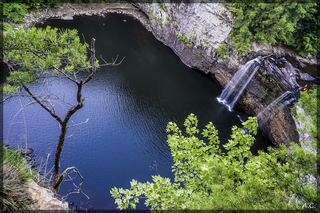 Rockhouse Creek FallsVan Buren County, TN20 miN
- Cane Creek FallsState park overlooks and trail documentedVan Buren County, TN20 miN
- Coon Creek FallsSource-reviewed route and parking249 ft (76 m) · Van Buren County, TN20 miN
- Fall Creek FallsResearched visit notes256 ft (78 m) · Van Buren County, TN20 miN
- Small Falls 10Marion County, TN21 miSW
- Horsehair Falls 80State park trail to viewpoint documented; unfenced cliff edgeMarion County, TN21 miSW
- Foster Falls 60State park viewing platform and trailhead documentedMarion County, TN21 miSW
- Piney Creek FallsGuide: short overlook trail from the Piney Falls parking lotVan Buren County, TN21 miN
- Ester FallsMarion County, TN21 miSW
- Sale Creek Falls 40Rhea County, TN22 miNE
- Small WaterfallGrundy County, TN22 miW
- Morphy Falls 12Rhea County, TN22 miNE
- Hemlock FallsMarion County, TN22 miSW
- Denny Cove FallsGuide: difficult trail with boulder fields to the baseMarion County, TN22 miSW
- Blue Hole FallsState park trail route and trailhead documentedGrundy County, TN22 miW
- Chain FallsMarion County, TN22 miSW
- Anderson FallsMarion County, TN22 miSW
- Hanes Hole FallsState park loop trail and trailhead documentedGrundy County, TN22 miW
Show the other 12 waterfalls, 22 mi to 30 mi away
- Black Canyon FallsState natural area trail passes the fallsGrundy County, TN22 miW
- Sycamore FallsState park trail route and trailhead documentedGrundy County, TN22 miSW
- North Pole Falls 17Rhea County, TN23 miNE
- Snow Falls 12State natural area trail route documented; long hike with a creek fordRhea County, TN23 miNE
- Paine Creek Falls 10Rhea County, TN23 miNE
- Laurel Falls 80State natural area trail route documentedRhea County, TN24 miNE
- Upper Glen Falls 12Hamilton County, TN27 miS
- Glen Falls 15Guide: short park trail; falls are seasonalHamilton County, TN27 miS
- Lower Cascades Glen Falls 65Hamilton County, TN27 miS
- High FallsPartial guide: inside a paid attraction; falls coordinates not confirmed by Rock City100 ft (30.5 m) · Walker County, GA28 miS
- Falls Branch Falls 15Marion County, TN30 miSW
- Jumpoff Falls 90Marion County, TN30 miSW