Rainbow Falls 40
Hamilton County, Tennessee
Your visit at a glance
- Waterfall height
- Not recorded
- Location
- Hamilton County, Tennessee
- Access status
- Partial guide: final descent is an unmaintained steep path; height differs between sources
- The walk
- No reliable distance to the falls is given
- Ground & access
- Easy gravel to rocky trail to the creek, then a steep, unmaintained descent that is slick when muddy.
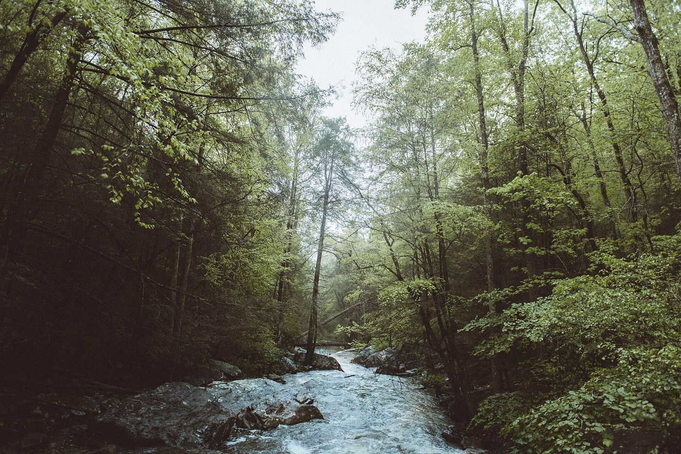
Rainbow Falls is a hidden waterfall on Middle Creek below Rainbow Lake on Signal Mountain. From the Rainbow Lake Trailhead on Ohio Avenue, walk past the golf course and an old spring house to the junction about half a mile in, then down to Middle Creek near the 1916 dam and the 100-foot swinging bridge on the Cumberland Trail. Do not cross the swinging bridge; follow the white-blazed Cumberland Trail toward Signal Point on the same side of the creek for a little less than a mile, cross a small rustic bridge, and a few minutes later look for the paths down to the falls. A visitor guide says the westernmost path is the easiest, but it is a steep, unmaintained cliff path, with ropes tied between trees. The descent is not a maintained trail, so this is a partial guide.
Plan your visit
Rainbow Lake Trailhead on Ohio Avenue, Rainbow Lake Trail to Middle Creek, Cumberland Trail toward Signal Point on the trailhead side of the creek, then an unmaintained steep path down to the falls
A visitor guide says to follow the Cumberland Trail toward Signal Point for a little less than a mile past the swinging bridge, cross a small bridge, and the path to the falls is a few minutes beyond. It lists 5.7 miles for its full out-and-back outing, which includes more than the falls.
Easy gravel to rocky trail to the creek, then a steep, unmaintained descent that is slick when muddy.
Where to start
Rainbow Lake Trailhead parking lot on Ohio Avenue at the edge of the golf course near Alexian Village, Signal Mountain. Follow signs toward Signal Point and continue past Alexian Village to the trailhead on the left.
Timing & water
Open daily sunrise to sunset. The descent is more dangerous after rain.
Before you go
Free, per Outdoor Chattanooga. No booking is needed.
Visitor informationVisit sources
More waterfalls nearby
Within 40 straight-line miles. Road and trail distances will differ.
 Julia Falls 95Overlook view from the Cumberland Trail; wet-weather fallsHamilton County, TN0.5 miW
- Blowing Wind FallsRitchie Hollow Trail from the river or from the plateauMarion County, TN4.0 miSW
- Falling Water Falls 110Guide: short trail to the top of the falls; very small parking areaHamilton County, TN6.4 miNE
- Mystery Falls 8Hamilton County, TN9.1 miNE
- Upper Glen Falls 12Hamilton County, TN9.7 miS
- Glen Falls 15Guide: short park trail; falls are seasonalHamilton County, TN9.7 miS
- Lower Cascades Glen Falls 65Hamilton County, TN9.7 miS
- Vortex FallsHamilton County, TN10 miNE
- Clear Branch Falls 40Hamilton County, TN10 miNE