Sycamore Falls
Grundy County, Tennessee
Your visit at a glance
- Waterfall height
- Not recorded
- Location
- Grundy County, Tennessee
- Access status
- State park trail route and trailhead documented
- The walk
- About 1.45 miles one way from the overflow parking (Hiking the Appalachians and Beyond)
- Ground & access
- Rocky, rooty creekside trail with a stone stairway into the gorge and a wooden staircase at Blue Hole Falls. The side path to the overhang view is steep.
Sycamore Falls is a 12-foot waterfall at a bend of Fiery Gizzard Creek in Grundy Forest State Natural Area, part of Fiery Gizzard State Park. From the kiosk at the Grundy Forest trailhead, follow the Grundy Forest Day Loop down a stone stairway into the gorge and along Little Fiery Gizzard Creek past Blue Hole Falls. Where the day loop goes straight, turn left on the Fiery Gizzard Trail, cross the footbridge and follow the creek downstream past the Black Canyon confluence and the Chimney Rocks. At the junction, bear right on the blue-blazed spur to its end at Sycamore Falls. For the best view, walk back a little and take a steep path down, keeping right at a fork, to a rock overhang facing the falls. Return the same way.
Plan your visit
Grundy Forest trailhead in Tracy City, Grundy Forest Day Loop and Fiery Gizzard Trail past Blue Hole Falls and the Chimney Rocks, then the blue-blazed Sycamore Falls spur
The trail report measures from the overflow parking: the Sycamore Falls spur junction at 1.4 miles and the end of the spur at 1.45 miles. Parking in the main lot saves about 0.1 mile each way, per the same report.
Rocky, rooty creekside trail with a stone stairway into the gorge and a wooden staircase at Blue Hole Falls. The side path to the overhang view is steep.
Where to start
Grundy Forest trailhead parking in Tracy City. From Main Street, 9th Street and Railroad Avenue, take Railroad Avenue southwest 0.4 mile, turn left on 2nd Street for 0.2 mile, right on Fairground Street for 0.2 mile, then bear left on Fiery Gizzard Road. The overflow lot is on the right after 0.1 mile; the main lot is just beyond.
Timing & water
No seasonal closure is mentioned.
Before you go
No fee is mentioned.
Visitor informationVisit sources
- Hiking the Appalachians and Beyond: Fiery Gizzard Trail from Grundy Forest to Raven Point
- Hiking the Appalachians and Beyond: Fiery Gizzard Trail from Grundy Forest to Raven Point
- Hiking the Appalachians and Beyond: Fiery Gizzard Trail from Grundy Forest to Raven Point
- Hiking the Appalachians and Beyond: Fiery Gizzard Trail from Grundy Forest to Raven Point
- Hiking the Appalachians and Beyond: Fiery Gizzard Trail from Grundy Forest to Raven Point
More waterfalls nearby
Within 40 straight-line miles. Road and trail distances will differ.
- Black Canyon FallsState natural area trail passes the fallsGrundy County, TN0.2 miN
- Hanes Hole FallsState park loop trail and trailhead documentedGrundy County, TN0.3 miN
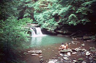 Blue Hole FallsState park trail route and trailhead documentedGrundy County, TN0.4 miNE
- Small WaterfallGrundy County, TN0.5 miNE
- Anderson FallsMarion County, TN2.0 miSE
- Chain FallsMarion County, TN2.3 miSE
- Ester FallsMarion County, TN6.1 miSE
- Small Falls 10Marion County, TN6.1 miSE
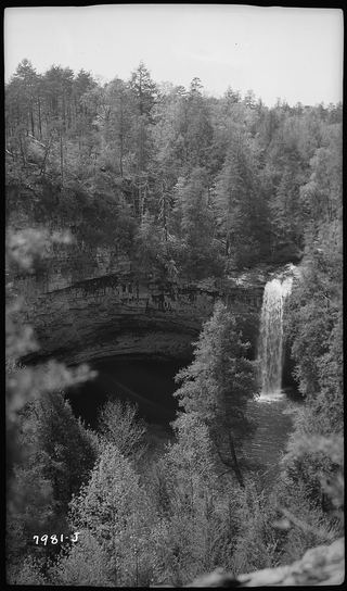 Foster Falls 60State park viewing platform and trailhead documentedMarion County, TN6.3 miSE