Laurel Falls
Carter County, Tennessee
Your visit at a glance
- Waterfall height
- Not recorded
- Location
- Carter County, Tennessee
- Access status
- Forest Service route and trailheads documented
- The walk
- About 1.3 miles to the falls; about 2.6 miles round trip, per the Forest Service
- Ground & access
- The Forest Service says the hike can be challenging and needs good footwear. Hiking only.
Laurel Falls on Laurel Fork, also called Laurel Fork Falls, is about 40 feet high and 50 feet wide, in the Pond Mountain Wilderness of the Cherokee National Forest. The Forest Service gives two routes. The more moderate route follows the white-blazed Appalachian Trail northbound from the Dennis Cove trailhead for about 1.3 miles to the falls. The longer route starts at the Laurel Falls trailhead on US 321 and follows the blue-blazed Hampton Blueline Trail (#501) to the Appalachian Trail, then turns right (south) on the Appalachian Trail for about 1.5 miles to the falls. Trail #501 forks into a high-water and a low-water route. Return the same way.
Plan your visit
Dennis Cove Appalachian Trail trailhead, Appalachian Trail northbound to Laurel Fork Falls
The Forest Service gives about 1.3 miles from the Dennis Cove trailhead to the falls on the Appalachian Trail, and about 2.6 miles round trip. The longer route from the Laurel Falls trailhead on US 321 is described as nearly 5.5 miles.
The Forest Service says the hike can be challenging and needs good footwear. Hiking only.
Where to start
Dennis Cove trailhead: from Hampton, on TN 67/US 321 South, turn right onto Dennis Cove Road and drive about 3.7 miles to the trailhead on the left. Laurel Falls trailhead: on the right of TN 67/US 321 South from Hampton.
Timing & water
No season limits are stated.
Before you go
No fee is mentioned. No restrooms or drinking water are listed. Wilderness group size is limited to 10 people.
Visitor informationVisit sources
More waterfalls nearby
Within 40 straight-line miles. Road and trail distances will differ.
- Coon Den FallsGuide: steep forest trail; park at the gravel area past the trailheadCarter County, TN1.6 miSE
- Dennis Cove WaterfallNational forest trail route documented; three wading fordsCarter County, TN2.4 miSE
- Mountaineer FallsCarter County, TN9.1 miSE
- Twisting FallsPartial guide: unofficial steep path; land ownership not statedCarter County, TN9.3 miE
- Jones FallsPartial guide: the link from the forest road to the Appalachian Trail is an unofficial pathCarter County, TN9.8 miSE
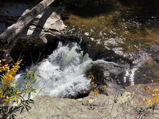 Splash Dam FallsPartial guide: unmarked side path and unofficial connector; scramble to the baseCarter County, TN10.0 miSE
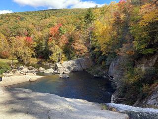 Elk River FallsSource-reviewed route and parking49 ft (15 m) · Avery County, NC11 miSE
- Red Fork FallsPartial guide: unofficial path and a dangerous scramble to the base; land manager not confirmedUnicoi County, TN11 miSW
- Blue Hole FallsShort national forest trail and parking documentedCarter County, TN12 miN