Coon Den Falls
Carter County, Tennessee
Your visit at a glance
- Waterfall height
- Not recorded
- Location
- Carter County, Tennessee
- Access status
- Guide: steep forest trail; park at the gravel area past the trailhead
- The walk
- About 1/2 mile of trail, plus 0.1 to 0.2 mile of road walking from the parking area, to reach the falls
- Ground & access
- Steep and rocky. A visitor account says the trail gains about 450 feet in the half mile to the falls.
Coon Den Falls is a 50-foot cascading waterfall on Coon Den Branch in the Dennis Cove area of Cherokee National Forest. The Coon Den Falls Trail follows the branch steeply uphill toward the Appalachian Trail, and the falls are about halfway up. A visitor account says there is no parking at the trailhead itself: park at the gravel area just before the one-lane bridge near Dennis Cove campground, walk back along the road to the trailhead sign, then climb. Near the falls the trail reaches a T junction; take the left branch up to the base. The Forest Service says the falls are best seen after the leaves drop. Return the same way.
Plan your visit
Dennis Cove Road gravel parking area, walk back along the road to the Coon Den Falls Trail, then up the trail to the falls
A visitor account gives the trail as about 1/2 mile to the falls, plus 0.1 to 0.2 mile walking up the road from the parking area. The Forest Service says the whole trail runs nearly 1.5 miles to the Appalachian Trail, with the falls about halfway up.
Steep and rocky. A visitor account says the trail gains about 450 feet in the half mile to the falls.
Where to start
A visitor account says there is no parking at the trailhead; use the dirt and gravel area on the left about 0.1 mile farther along Dennis Cove Road, just before the one-lane bridge. The Forest Service directions put the trailhead on the right about 0.3 mile past the Dennis Cove Appalachian Trail trailhead. Dennis Cove Road is narrow, steep and curvy.
Timing & water
The Forest Service says the falls are best viewed after leaf-off. Flow is better after rain.
Before you go
No fee is mentioned. No booking is needed.
Visitor informationVisit sources
More waterfalls nearby
Within 40 straight-line miles. Road and trail distances will differ.
- Dennis Cove WaterfallNational forest trail route documented; three wading fordsCarter County, TN1.1 miE
- Laurel FallsForest Service route and trailheads documentedCarter County, TN1.6 miNW
- Mountaineer FallsCarter County, TN7.8 miE
- Twisting FallsPartial guide: unofficial steep path; land ownership not statedCarter County, TN8.1 miE
- Jones FallsPartial guide: the link from the forest road to the Appalachian Trail is an unofficial pathCarter County, TN8.4 miSE
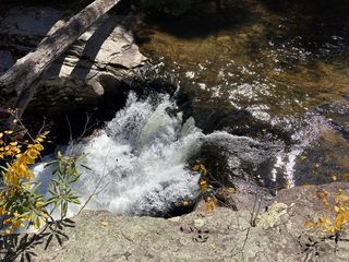 Splash Dam FallsPartial guide: unmarked side path and unofficial connector; scramble to the baseCarter County, TN8.6 miE
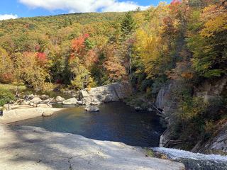 Elk River FallsSource-reviewed route and parking49 ft (15 m) · Avery County, NC9.2 miSE
- Red Fork FallsPartial guide: unofficial path and a dangerous scramble to the base; land manager not confirmedUnicoi County, TN11 miSW
- Buckeye Creek FallsTown park trail; loop bridge out since September 2024, out-and-back worksWatauga County, NC12 miE