Dennis Cove Waterfall
Carter County, Tennessee
Your visit at a glance
- Waterfall height
- Not recorded
- Location
- Carter County, Tennessee
- Access status
- National forest trail route documented; three wading fords
- The walk
- Hike length 2.2 miles, per Waterfall Hero; three wading crossings of Laurel Fork
- Ground & access
- Three crossings of Laurel Fork that require wading. They can be difficult in low water and are not safe to cross in high water. Slippery rocks at the falls.
Dennis Cove Falls is a 25-foot waterfall on Laurel Fork in the Dennis Cove Recreation Area of the Cherokee National Forest. From the parking area, cross the road and take the blue-blazed Laurel Fork Trail (#39) upstream. At 0.5 miles is the first ford of Laurel Fork, the hardest one; a second ford follows in a couple hundred feet and a third about 0.1 miles later. At 1 mile a side trail on the right leads to Lower Dennis Cove Falls, a separate 10-foot drop. Stay on the main trail another 0.1 miles and, just after a rocky outcrop, take a spur trail to the right a short way to the falls. Return the same way.
Plan your visit
Parking area on Dennis Cove Road just before the Laurel Fork bridge, Laurel Fork Trail (#39) upstream with three fords, then a short spur to Dennis Cove Falls
Waterfall Hero gives a hike length of 2.2 miles. Its route description reaches the Lower Dennis Cove Falls side trail at 1 mile from the start, then another 0.1 miles on the main trail to the spur for this waterfall.
Three crossings of Laurel Fork that require wading. They can be difficult in low water and are not safe to cross in high water. Slippery rocks at the falls.
Where to start
From US 321 in Hampton, turn onto Dennis Cove Road and follow it 4.8 miles to a parking area on the left just before the bridge over Laurel Fork, per Waterfall Hero. The Forest Service says the road is steep and winding, with many switchbacks.
Timing & water
The Dennis Cove campground closes for part of the year. Do not attempt the fords in high water.
Before you go
No fee is mentioned for day hiking. The Forest Service lists fees only for overnight camping at the Dennis Cove campground.
Visitor informationVisit sources
More waterfalls nearby
Within 40 straight-line miles. Road and trail distances will differ.
- Coon Den FallsGuide: steep forest trail; park at the gravel area past the trailheadCarter County, TN1.1 miW
- Laurel FallsForest Service route and trailheads documentedCarter County, TN2.4 miNW
- Mountaineer FallsCarter County, TN6.8 miE
- Twisting FallsPartial guide: unofficial steep path; land ownership not statedCarter County, TN7.1 miE
- Jones FallsPartial guide: the link from the forest road to the Appalachian Trail is an unofficial pathCarter County, TN7.4 miSE
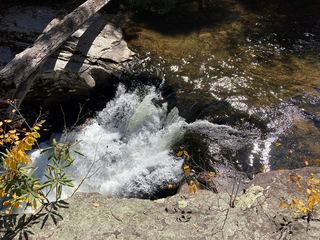 Splash Dam FallsPartial guide: unmarked side path and unofficial connector; scramble to the baseCarter County, TN7.6 miSE
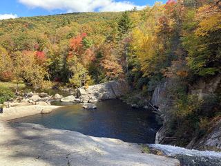 Elk River FallsSource-reviewed route and parking49 ft (15 m) · Avery County, NC8.2 miSE
- Buckeye Creek FallsTown park trail; loop bridge out since September 2024, out-and-back worksWatauga County, NC11 miE
- Red Fork FallsPartial guide: unofficial path and a dangerous scramble to the base; land manager not confirmedUnicoi County, TN11 miSW