Twisting Falls
Carter County, Tennessee
Your visit at a glance
- Waterfall height
- Not recorded
- Location
- Carter County, Tennessee
- Access status
- Partial guide: unofficial steep path; land ownership not stated
- The walk
- 0.9 miles round trip, per Hiking the Appalachians and Beyond
- Ground & access
- Extremely steep, rocky and slippery gully descent; brief scrambles near the falls; muddy spots in high water. Powerful water and a deep pool at the base.
Twisting Falls is a series of falls on the Elk River. This route reaches the lowest main drop, about 30 feet, which some locals call Compression Falls. From the west end of the parking area, follow an old forest road; after about 250 feet keep right on the broad trail. At 0.15 miles, where the road reaches a power line cut and bears right, stay left on a narrower path to a point under the power line. Turn sharply left onto an extremely steep, ungraded path that drops about 300 feet to the Elk River at 0.3 miles. Turn left and follow the path upstream, with a couple of brief scrambles, to near the base of the lower drop. Return the same way. This is not an official trail and it is not blazed. The upper drops need dangerous scrambling and are not described here.
Plan your visit
Dark Ridge Road parking area, unofficial path down the Elk River gorge to the base of the lowest drop of Twisting Falls
Hiking the Appalachians and Beyond gives 0.9 miles round trip. Its mileage log reaches the Elk River at 0.3 miles and the base of the lowest drop at 0.45 miles.
Extremely steep, rocky and slippery gully descent; brief scrambles near the falls; muddy spots in high water. Powerful water and a deep pool at the base.
Where to start
Twisting Falls parking area on the right of Dark Ridge Road. From US 321 at Hampton, follow US 321 South 17.0 miles, turn right onto Poga Road for 4.0 miles, right onto Clawson Road for 0.5 mile, then right onto Dark Ridge Road for 0.4 mile. Dark Ridge Road is unpaved after 0.2 mile. Who owns the parking area and the path is not stated.
Timing & water
No season limits are stated. The account names winter as the best time, when swimmers are absent.
Before you go
No fee is mentioned.
Visitor informationVisit sources
More waterfalls nearby
Within 40 straight-line miles. Road and trail distances will differ.
- Mountaineer FallsCarter County, TN1.0 miSW
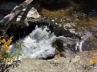 Splash Dam FallsPartial guide: unmarked side path and unofficial connector; scramble to the baseCarter County, TN1.5 miS
- Jones FallsPartial guide: the link from the forest road to the Appalachian Trail is an unofficial pathCarter County, TN2.0 miS
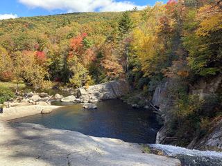 Elk River FallsSource-reviewed route and parking49 ft (15 m) · Avery County, NC2.3 miS
- Buckeye Creek FallsTown park trail; loop bridge out since September 2024, out-and-back worksWatauga County, NC3.8 miE
- She Falls FallsWatauga County, NC5.8 miE
- Laurel Creek FallsPartial: short informal path; landowner and permission not confirmedWatauga County, NC7.0 miE
- Dennis Cove WaterfallNational forest trail route documented; three wading fordsCarter County, TN7.1 miW
- Coon Den FallsGuide: steep forest trail; park at the gravel area past the trailheadCarter County, TN8.1 miW