Gentry Creek Falls
Johnson County, Tennessee
Your visit at a glance
- Waterfall height
- Not recorded
- Location
- Johnson County, Tennessee
- Access status
- Researched walking route
- The walk
- 4.6 miles return
- Ground & access
- About 14 creek crossings along the approach; no crossing-condition guarantee is provided.
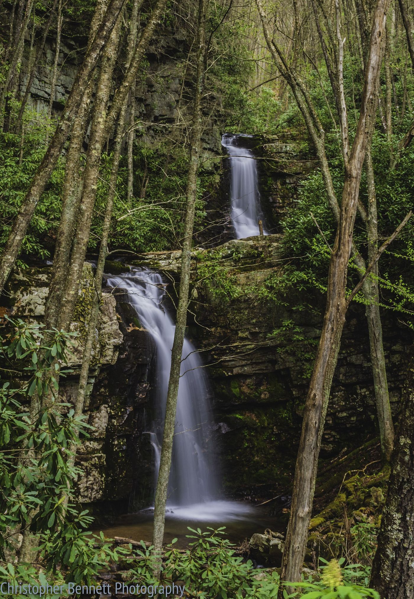
The official route follows Gentry Creek through a remote forest with repeated creek crossings.
Plan your visit
Gentry Creek Falls Trail 51
USFS gives 2.3 miles each way, 4.6 miles round-trip.
About 14 creek crossings along the approach; no crossing-condition guarantee is provided.
Where to start
From Laurel Bloomery take Gentry Creek Road 0.7 mile, follow it right another 1.1 miles to pavement end, then drive 1.1 miles past the first lot to the turnaround/parking area.
Timing & water
Current road and creek-crossing conditions are not provided by this visitor page.
Before you go
Fee and reservation requirements not stated.
Visitor informationVisit sources
More waterfalls nearby
Within 40 straight-line miles. Road and trail distances will differ.
- Whitetop Laurel FallsWashington County, VA5.2 miNW
- Straight Branch FallsPartial: roadside viewpoint described by a visitor source; parking area not confirmed by the land managerWashington County, VA5.3 miN
- Sharpes FallsAshe County, NC11 miSE
- Bluff Mountain FallsAshe County, NC15 miSE
- Comer’s Creek FallsGuide: short forest trail to a small fallsGrayson County, VA16 miNE
- Nana FallsPartial guide: roadside view; no parking spot describedAshe County, NC21 miSE
- Blue Hole FallsShort national forest trail and parking documentedCarter County, TN22 miSW
- Laurel Creek FallsPartial: short informal path; landowner and permission not confirmedWatauga County, NC23 miS
- Betsy's Rock FallsParkway overlook view; falls on private propertyAshe County, NC26 miSE