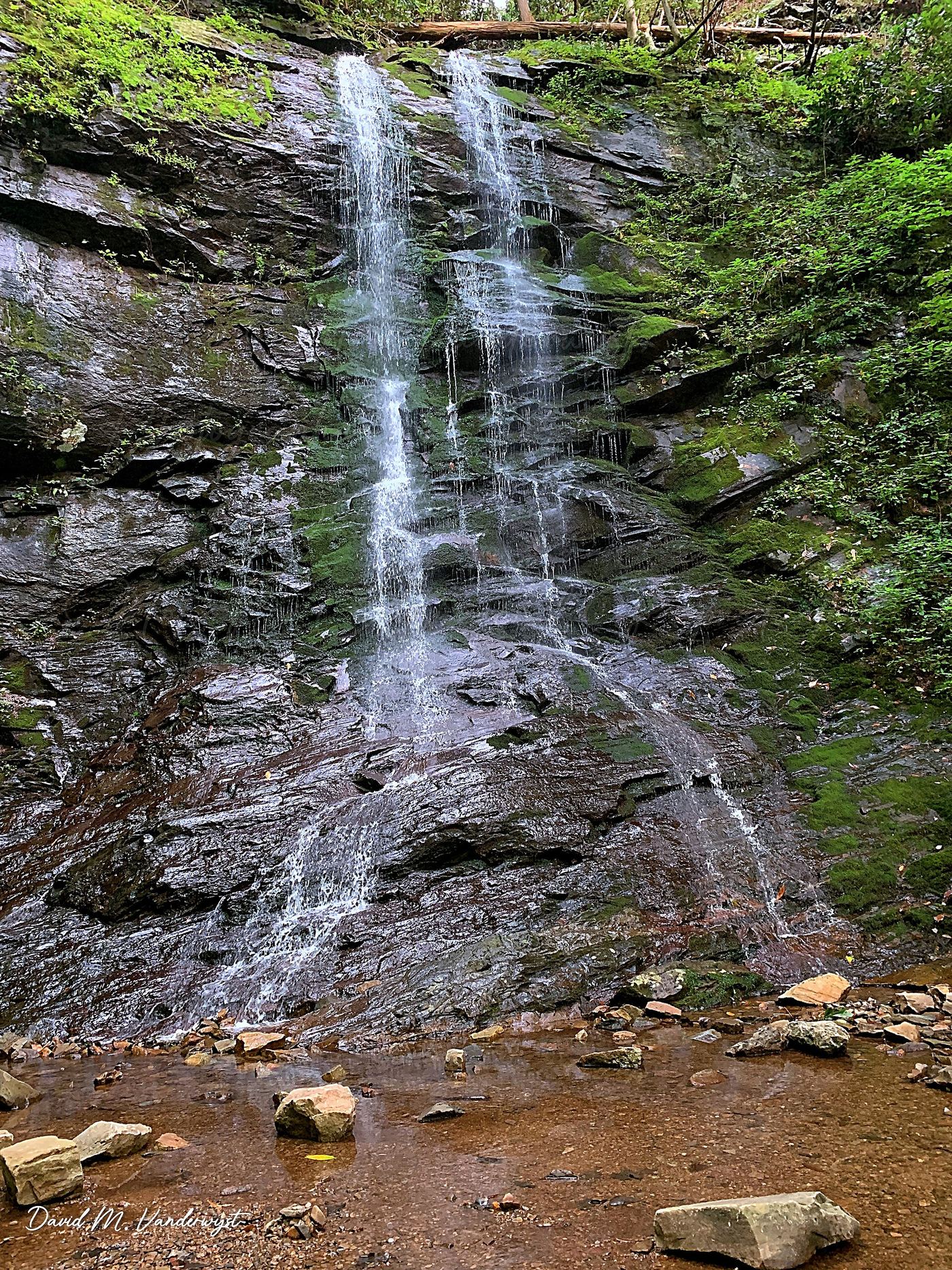
Waterfalls near Johnson City, TN
31 named waterfalls within 30 miles of Johnson City, closest first. Distances are straight-line from the town center.
Visits with route details
Read the walking route, starting point and current access notes.
- Red Fork FallsPartial guide: unofficial path and a dangerous scramble to the base; land manager not confirmedUnicoi County, TN
- Laurel FallsForest Service route and trailheads documentedCarter County, TN
- Coon Den FallsGuide: steep forest trail; park at the gravel area past the trailheadCarter County, TN
- Martin Creek FallsPartial guide: parking at the gated road is not confirmed; unmarked side pathUnicoi County, TN
- Dennis Cove WaterfallNational forest trail route documented; three wading fordsCarter County, TN
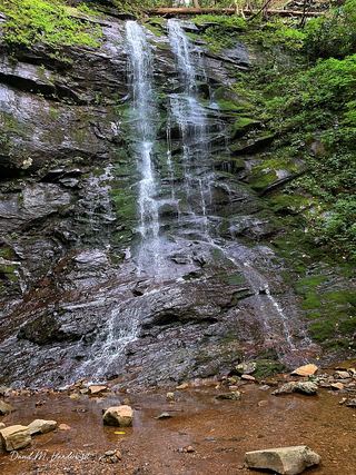 Sill Branch FallsGuide: short forest trail; keep left at the forkUnicoi County, TN
- Pine Ridge FallsNational forest trail route documented by visitor accounts; creek crossingUnicoi County, TN
- Blue Hole FallsShort national forest trail and parking documentedCarter County, TN
- Lower Higgins Creek FallsForest road route and parking documented; steep scramble to the baseUnicoi County, TN
- Birchfield Camp FallsPartial guide: total distance not stated; creek crossings without bridgesUnicoi County, TN
- Big Creek FallsRoadside waterfall with pullout and short bank pathYancey County, NC
- Twisting FallsPartial guide: unofficial steep path; land ownership not statedCarter County, TN
- Jones FallsPartial guide: the link from the forest road to the Appalachian Trail is an unofficial pathCarter County, TN
- Squibb Creek FallsResearched route and starting areaGreene County, TN
 Splash Dam FallsPartial guide: unmarked side path and unofficial connector; scramble to the baseCarter County, TN
 Elk River FallsSource-reviewed route and parking49 ft (15 m) · Avery County, NC
- Pete's Branch FallsRoad and creek-crossing approach; total distance unconfirmedGreene County, TN
- Buckeye Creek FallsTown park trail; loop bridge out since September 2024, out-and-back worksWatauga County, NC
- Trillium FallsPrivate property; roadside view onlyMadison County, NC
- Margarette FallsRoute and parking researchedGreene County, TN
- Laurel Creek FallsPartial: short informal path; landowner and permission not confirmedWatauga County, NC
- Hickey Fork FallsNational forest trail; steep path at the endMadison County, NC
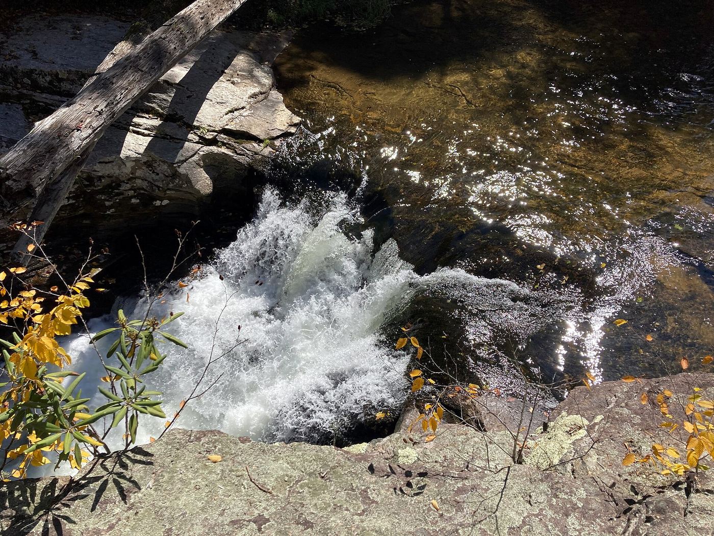
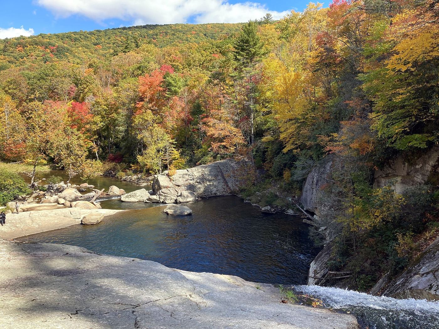
Closest with a photo
All 31 waterfalls
- Red Fork FallsPartial guide: unofficial path and a dangerous scramble to the base; land manager not confirmedUnicoi County, TN12 miSE
- Laurel FallsForest Service route and trailheads documentedCarter County, TN12 miE
- Coon Den FallsGuide: steep forest trail; park at the gravel area past the trailheadCarter County, TN14 miE
- Martin Creek FallsPartial guide: parking at the gated road is not confirmed; unmarked side pathUnicoi County, TN14 miS
- Dennis Cove WaterfallNational forest trail route documented; three wading fordsCarter County, TN15 miE
- Hell Hollow FallsUnicoi County, TN16 miSW
- Sill Branch FallsGuide: short forest trail; keep left at the forkUnicoi County, TN16 miSW
- Pine Ridge FallsNational forest trail route documented by visitor accounts; creek crossingUnicoi County, TN17 miSW
- Josiah FallsUnicoi County, TN17 miSW
- Blue Hole FallsShort national forest trail and parking documentedCarter County, TN18 miNE
- Wilderness FallsUnicoi County, TN18 miSW
- Longarm Branch FallsUnicoi County, TN18 miSW
- Lower Higgins Creek FallsForest road route and parking documented; steep scramble to the baseUnicoi County, TN18 miSW
- Birchfield Camp FallsPartial guide: total distance not stated; creek crossings without bridgesUnicoi County, TN19 miSW
- Big Creek FallsRoadside waterfall with pullout and short bank pathYancey County, NC19 miS
- Mountaineer FallsCarter County, TN22 miE
- Fall Creek FallsMitchell County, NC22 miSE
- Twisting FallsPartial guide: unofficial steep path; land ownership not statedCarter County, TN22 miE
- Jones FallsPartial guide: the link from the forest road to the Appalachian Trail is an unofficial pathCarter County, TN22 miE
- Squibb Creek FallsResearched route and starting areaGreene County, TN22 miSW
- Splash Dam FallsPartial guide: unmarked side path and unofficial connector; scramble to the baseCarter County, TN22 miE
- Elk River FallsSource-reviewed route and parking49 ft (15 m) · Avery County, NC23 miE
- Pete's Branch FallsRoad and creek-crossing approach; total distance unconfirmedGreene County, TN23 miSW
- Buckeye Creek FallsTown park trail; loop bridge out since September 2024, out-and-back worksWatauga County, NC26 miE
- Abrams FallsWashington County, VA26 miN
- Trillium FallsPrivate property; roadside view onlyMadison County, NC27 miSW
- Margarette FallsRoute and parking researchedGreene County, TN27 miSW
- She Falls FallsWatauga County, NC28 miE
- Laurel Creek FallsPartial: short informal path; landowner and permission not confirmedWatauga County, NC28 miE
- Camp Creek Falls148 ft (45 m) · Greene County, TN29 miSW
- Hickey Fork FallsNational forest trail; steep path at the endMadison County, NC30 miSW