Baskins Creek Falls
Sevier County, Tennessee
Your visit at a glance
- Waterfall height
- Not recorded
- Location
- Sevier County, Tennessee
- Access status
- Partial guide: final approach is an unmaintained side path
- The walk
- 1.4 miles on Baskins Creek Trail to the side path (Gatlinburg CVB figure); side path distance not stated
- Ground & access
- Maintained park trail with steep descents and a stream crossing that can wet your feet after heavy rain, then an unmaintained, very steep and slippery side path.
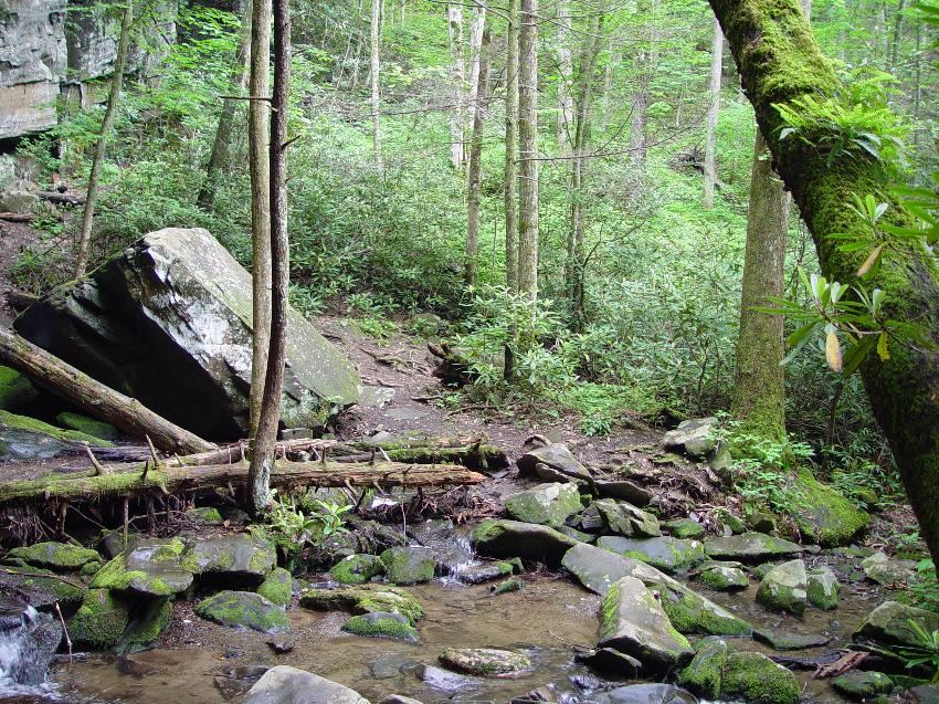
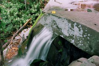
Baskins Creek Falls is a 40-foot, two-tier waterfall on Falls Branch in Great Smoky Mountains National Park. From the trailhead on the left of the one-way Roaring Fork Motor Nature Trail, about 0.2 mile after the turn from Cherokee Orchard Road, the Baskins Creek Trail climbs a pine ridge and then descends steeply to Falls Branch. At about 1 mile it crosses Falls Branch. At 1.4 miles, turn left onto an unmaintained side trail that follows Falls Branch downstream to the falls. The visitor bureau warns that this side trail is steep, slippery and can be dangerous. Return the same way.
Plan your visit
Baskins Creek trailhead on the Roaring Fork Motor Nature Trail, Baskins Creek Trail to the side path at 1.4 miles, then down Falls Branch to the falls
Gatlinburg's visitor bureau places the side trail to the falls at 1.4 miles along Baskins Creek Trail from the trailhead off the Roaring Fork Motor Nature Trail. No length is given for the steep side path. The return is the same way.
Maintained park trail with steep descents and a stream crossing that can wet your feet after heavy rain, then an unmaintained, very steep and slippery side path.
Where to start
From traffic light 8 in Gatlinburg, take Historic Nature Trail/Airport Road, bear right onto Cherokee Orchard Road into the park, and turn right onto the one-way Roaring Fork Motor Nature Trail. The trailhead pull-off is on the left about 0.2 mile in. Parking is very limited; one guide suggests the Rainbow Falls overflow lot when it is full. Park with all four wheels out of the roadway. Buses, trailers and motor homes are not allowed on the motor nature trail.
Timing & water
The Roaring Fork Motor Nature Trail is closed during part of the year; check the park's seasonal road status. Dogs and bicycles are not allowed on this trail.
Before you go
A park parking tag is required to park longer than 15 minutes: daily $5, weekly $15, annual $40. Tags cannot be bought in the Roaring Fork area, so buy one before arriving.
Visitor informationVisit sources
More waterfalls nearby
Within 40 straight-line miles. Road and trail distances will differ.
- Thousand DripsRoadside national park waterfall documented; seasonal roadSevier County, TN1.1 miN
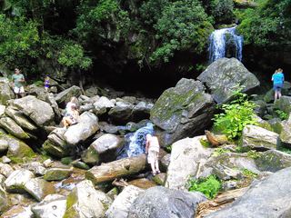 Grotto FallsResearched visit notesSevier County, TN2.3 miSE
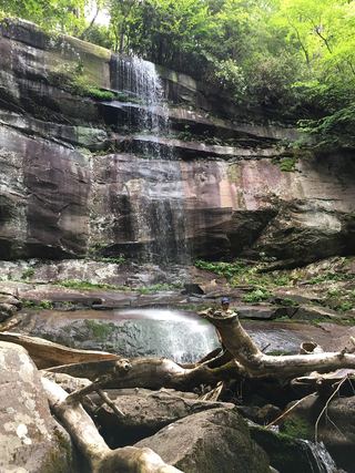 Rainbow FallsResearched visit notesSevier County, TN2.5 miSE
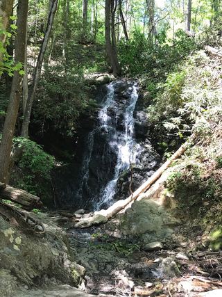 Cataract FallsGuide: short walk from Sugarlands Visitor CenterSevier County, TN3.2 miW
- Trickling FallsPartial guide: unofficial side path to the base; no distance givenSevier County, TN5.1 miS
- Huskey Branch FallsNational park trail route and trailhead documentedSevier County, TN5.5 miSW
- Talking FallsSevier County, TN5.5 miS
 Laurel FallsTrail closedSevier County, TN6.3 miW
- Fish Camp CascadesSevier County, TN6.8 miSW