Laurel Falls
Sevier County, Tennessee
Your visit at a glance
- Waterfall height
- Not recorded
- Location
- Sevier County, Tennessee
- Access status
- Trail closed
- The walk
- Closed; walk distance not established in opened notice
- Ground & access
- Unknown: post-rehabilitation surface and layout not confirmed.
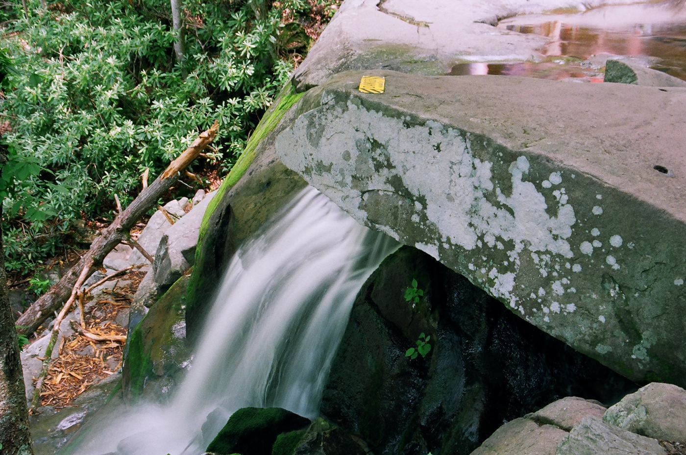
The trail is closed from Fighting Creek Gap Road through its upper trail junctions.
Plan your visit
Laurel Falls Trail, closed
Do not publish a usable itinerary while the rehabilitation closure remains.
Unknown: post-rehabilitation surface and layout not confirmed.
Where to start
Trailhead is on Fighting Creek Gap Road; parking availability during works unknown.
Timing & water
Closed on 2026-10-27; NPS anticipates reopening sometime in 2027.
Before you go
Unknown: future entry and reservation policy not established.
Visitor informationMore waterfalls nearby
Within 40 straight-line miles. Road and trail distances will differ.
- Mannis Branch FallsPartial guide: roadside view only; exact pull-off not identifiedSevier County, TN1.8 miSW
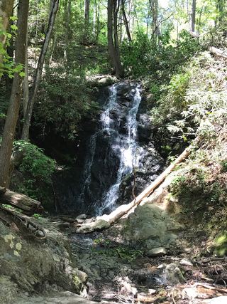 Cataract FallsGuide: short walk from Sugarlands Visitor CenterSevier County, TN3.2 miE
- Huskey Branch FallsNational park trail route and trailhead documentedSevier County, TN3.6 miSE
- Meigs Creek CascadePark trail route documented; unbridged creek crossings; parking tag requiredSevier County, TN3.9 miW
- Marks Creek FallsSevier County, TN4.6 miSW
- Meigs FallsRoadside national park viewpoint documentedBlount County, TN4.6 miW
- Fish Camp CascadesSevier County, TN5.2 miSE
- War Branch CascadeSevier County, TN5.4 miSE
- Cane Creek Twin FallsRoadside view from a pull-off on Little River Road; parking tag requiredBlount County, TN5.6 miW