Rainbow Falls
Sevier County, Tennessee
Your visit at a glance
- Waterfall height
- Not recorded
- Location
- Sevier County, Tennessee
- The walk
- 5.6 miles round-trip
- Ground & access
- Very steep and rocky.
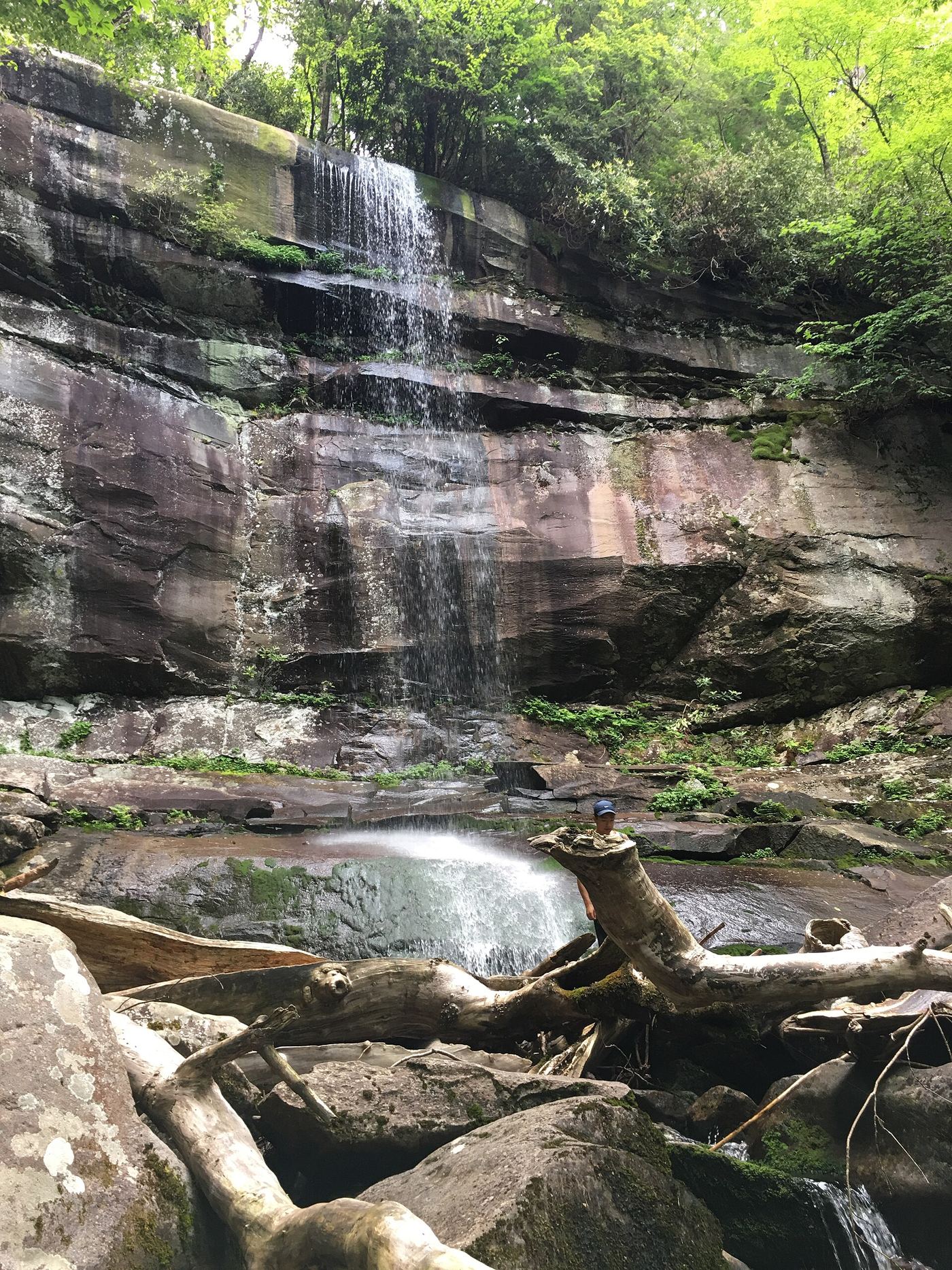
Climb through forest to the waterfall; this is a substantial hike.
Plan your visit
Rainbow Falls Trail from Cherokee Orchard
NPS gives about 1,500 feet of gain to the falls; Mount LeConte is farther.
Very steep and rocky.
Where to start
Rainbow Falls Trailhead upper or lower lot on Cherokee Orchard Road; limited spaces.
Timing & water
Trail can be icy in winter. Cherokee Orchard pedestrian restrictions posted 2026-10-27.
Before you go
NPS requires a parking tag for stops over 15 minutes; no hike reservation listed.
Visitor informationVisit sources
More waterfalls nearby
Within 40 straight-line miles. Road and trail distances will differ.
 Grotto FallsResearched visit notesSevier County, TN1.1 miNE
 Baskins Creek FallsPartial guide: final approach is an unmaintained side pathSevier County, TN2.5 miNW
- Trickling FallsPartial guide: unofficial side path to the base; no distance givenSevier County, TN2.8 miS
- Talking FallsSevier County, TN3.3 miS
- Thousand DripsRoadside national park waterfall documented; seasonal roadSevier County, TN3.5 miN
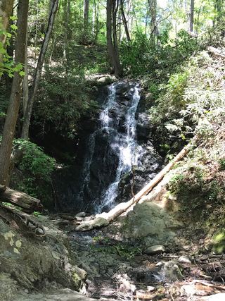 Cataract FallsGuide: short walk from Sugarlands Visitor CenterSevier County, TN4.6 miNW
- Huskey Branch FallsNational park trail route and trailhead documentedSevier County, TN5.2 miW
- Little River Upper FallsSevier County, TN5.2 miSW
- Sweat Heifer CascadesNational park trails; 7.4-mile return with a long climb back; parking tag requiredSwain County, NC5.5 miSE