Ramsey Cascades
Sevier County, Tennessee
Your visit at a glance
- Waterfall height
- Not recorded
- Location
- Sevier County, Tennessee
- Access status
- National park trail route and trailhead documented; strenuous
- The walk
- 8 miles round trip (National Park Service)
- Ground & access
- Strenuous. Climbs more than 2,000 feet, with steep sections, roots, rocks, footlog bridges and stream crossings. The rocks at the falls are muddy and slippery; the sign at the falls warns that people have died climbing them.
Ramsey Cascades, about 105 feet tall, is the tallest waterfall in Great Smoky Mountains National Park. From the Ramsey Cascades Trailhead in Greenbrier, the trail follows an old gravel road for about 1.5 miles to an old turnaround, then becomes a narrower, rockier footpath through old-growth forest, crossing footlog bridges and streams as it climbs to the base of the falls. Return the same way. The park says not to climb to the top of the falls.
Updated map record
Ramsey Cascades is at the end of the Ramsey Cascades Trail on Ramsey Prong in the Greenbrier area of the park. Its map location comes from Hiking in the Smokys.
Map correction source
Hiking in the Smokys: Ramsey Cascades · National Park Service: Hike to Ramsey Cascades
Plan your visit
Ramsey Cascades Trailhead on Ramsey Prong Road in Greenbrier, Ramsey Cascades Trail to the base of the falls
The National Park Service and Hiking in the Smokys both give 8 miles round trip from the Ramsey Cascades Trailhead, with more than 2,000 feet of climb.
Strenuous. Climbs more than 2,000 feet, with steep sections, roots, rocks, footlog bridges and stream crossings. The rocks at the falls are muddy and slippery; the sign at the falls warns that people have died climbing them.
Where to start
Ramsey Cascades Trailhead on Ramsey Prong Road in Greenbrier. From the junction of US 441 and US 321 in Gatlinburg, drive 6 miles east on US 321 and turn right into Greenbrier. The road turns to gravel. After 3.1 miles, turn left at the fork, cross the bridge and drive 1.5 miles to the trailhead. Parking is limited and fills; the park suggests a shuttle. A parking tag is required to park for more than 15 minutes.
Timing & water
No seasonal closure is mentioned. Expect crowds and a full lot at busy times. Pets are not allowed on the trail.
Before you go
Great Smoky Mountains National Park requires a parking tag; most trailheads have no tag machines, so buy one in advance. No reservation is needed.
Visitor informationVisit sources
More waterfalls nearby
Within 40 straight-line miles. Road and trail distances will differ.
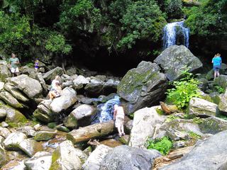 Grotto FallsResearched visit notesSevier County, TN5.5 miW
- Sweat Heifer CascadesNational park trails; 7.4-mile return with a long climb back; parking tag requiredSwain County, NC5.9 miS
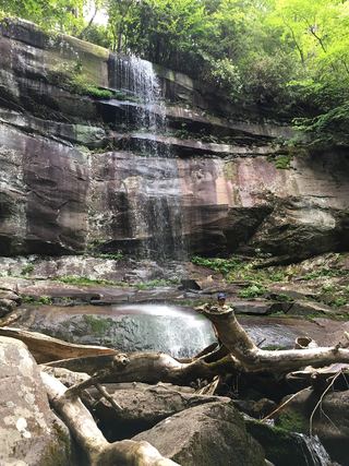 Rainbow FallsResearched visit notesSevier County, TN6.6 miSW
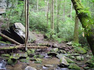 Baskins Creek FallsPartial guide: final approach is an unmaintained side pathSevier County, TN7.0 miW
- Thousand DripsRoadside national park waterfall documented; seasonal roadSevier County, TN7.1 miW
- Taywa Creek CascadeSwain County, NC7.2 miS
- Hen Wallow FallsResearched visit notesCocke County, TN7.8 miNE
- Hitchin Post FallsSwain County, NC8.1 miS
- Enloe Creek FallsPartial guide: the final quarter mile is off trail with no path, and which of two Enloe Creek falls the point marks is not confirmedSwain County, NC8.3 miSE