Wash Morgan Falls
Jackson County, Tennessee
Your visit at a glance
- Waterfall height
- Not recorded
- Location
- Jackson County, Tennessee
- Access status
- Partial guide: public preserve but no maintained trail; path lost in places
- The walk
- Distance not stated
- Ground & access
- Narrow, intermittent path and rocky stream bed with no maintained trail. Expect wet feet.
Wash Morgan Falls is a steep waterfall at the head of Washmorgan Hollow, a 73-acre wildflower preserve owned by The Nature Conservancy and designated a State Natural Area. The Conservancy lists it as open to the public. Park in the small roadside space at the preserve signs on Spring Creek Road and follow the narrow path up the hollow. The path is lost in places, so you will need to walk up the stream bed. Continue to the far end of the hollow to reach the falls. Return the same way. TDEC describes access as limited and says no maintained trail is provided.
Plan your visit
Roadside space at the Washmorgan Hollow preserve signs on Spring Creek Road, then a faint path and the stream bed up the hollow to Wash Morgan Falls at its head
Neither The Nature Conservancy nor TDEC gives a distance. The falls are at the far end of the narrow preserve from the Spring Creek Road entrance.
Narrow, intermittent path and rocky stream bed with no maintained trail. Expect wet feet.
Where to start
Just enough space to park along the side of Spring Creek Road at the trailhead, marked by Nature Conservancy preserve signs. From I-40 exit 286 at Cookeville, drive north on SR 135 for 13.6 miles to Dodson Branch, turn right on Step Rock Hill Road for 2.4 miles, then left on Spring Creek Road for 1.2 miles.
Timing & water
Wildflowers peak in spring. Motor vehicles, bicycles and horses are prohibited.
Before you go
No fee is mentioned.
Visitor informationVisit sources
More waterfalls nearby
Within 40 straight-line miles. Road and trail distances will differ.
- Savannah FallsJackson County, TN3.3 miSW
- Charlotte Falls115 ft (35 m) · Jackson County, TN3.7 miSW
- Waterloo FallsOverton County, TN3.9 miSE
- Upper Waterloo FallsOverton County, TN4.0 miSE
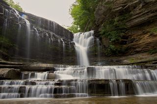 Cummins FallsGuide: overlook trail; permit needed for the baseJackson County, TN6.0 miS
- City Lake FallsGuide: short city park trail to a viewing platformPutnam County, TN14 miS
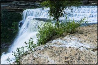 Burgess FallsOfficial state park trail loop and parking documentedPutnam County, TN20 miS
- Falling Water CascadesState park trail and trailhead documented; limited parkingPutnam County, TN20 miS
- Little FallsState park trail route and parking documentedPutnam County, TN20 miS