Waterfalls near Newport, TN
45 named waterfalls within 30 miles of Newport, closest first. Distances are straight-line from the town center.
Visits with route details
Read the walking route, starting point and current access notes.
- Hen Wallow FallsResearched visit notesCocke County, TN
- Wolf Creek FallsPartial guide: unofficial approaches and long gravel roads; exact falls not confirmed by coordinates30 ft (9.1 m) · Cocke County, TN
- Mouse Creek FallsNational park trail; easy walk; parking tag requiredHaywood County, NC
- Ricker Branch FallsRoadside view across Forest Road 41 from a parking area15 ft (4.5 m) · Greene County, TN
- Dudley FallsSource-reviewed roadside view and parking10 ft (3 m) · Greene County, TN
- Gunter Fork CascadesPartial: route closed beyond Mouse Creek Falls by storm damage; long park trail with a deep fordHaywood County, NC
- Little Fall Branch FallsPartial: short informal path; exact spot not publishedHaywood County, NC
- Kelly FallsPartial guide: usual access road closed by flood damage; alternate drive to the falls not described12 ft (3.6 m) · Greene County, TN
- Ramsey CascadesNational park trail route and trailhead documented; strenuousSevier County, TN
- Spring Creek FallsRoadside pullout; short path to a bluff viewMadison County, NC
- Thousand DripsRoadside national park waterfall documented; seasonal roadSevier County, TN
- Enloe Creek FallsPartial guide: the final quarter mile is off trail with no path, and which of two Enloe Creek falls the point marks is not confirmedSwain County, NC
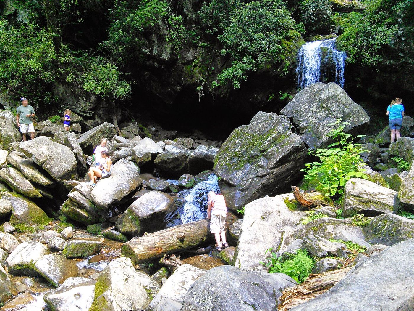
 Grotto FallsResearched visit notesSevier County, TN
 Baskins Creek FallsPartial guide: final approach is an unmaintained side pathSevier County, TN
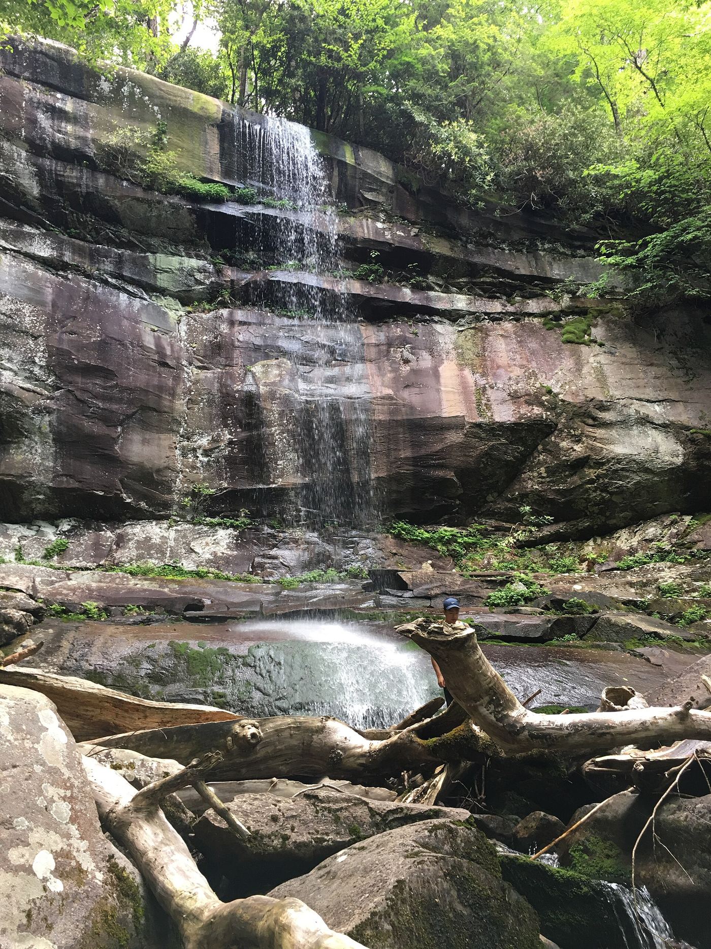
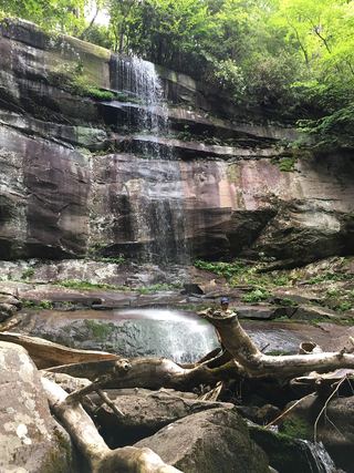 Rainbow FallsResearched visit notesSevier County, TN
- Hickey Fork FallsNational forest trail; steep path at the endMadison County, NC
- Sweat Heifer CascadesNational park trails; 7.4-mile return with a long climb back; parking tag requiredSwain County, NC
- Margarette FallsRoute and parking researchedGreene County, TN
- Chasteen Creek CascadeNational Park Service route, distance and parking rules documentedSwain County, NC
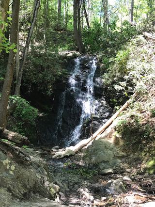 Cataract FallsGuide: short walk from Sugarlands Visitor CenterSevier County, TN
- Cliff Branch FallsRoadside view on Newfound Gap Road with a narrow pulloutSwain County, NC
- Trickling FallsPartial guide: unofficial side path to the base; no distance givenSevier County, TN
- Flat Creek FallsPartial guide: trail reaches only the brink; no safe viewpoint and the park discourages visitsHaywood County, NC
Closest with a photo
All 45 waterfalls
- Buzzard Roost Falls130 ft (39.6 m) · Cocke County, TN10 miS
- Hen Wallow FallsResearched visit notesCocke County, TN15 miS
- Cliff Dwellers Cascade15 ft (4.6 m) · Cocke County, TN15 miSE
- Wolf Creek FallsPartial guide: unofficial approaches and long gravel roads; exact falls not confirmed by coordinates30 ft (9.1 m) · Cocke County, TN16 miSE
- Mouse Creek FallsNational park trail; easy walk; parking tag requiredHaywood County, NC16 miS
- West Prong Mouse Creek FallsHaywood County, NC17 miS
- Upper Mouse Creek FallsHaywood County, NC18 miS
- Ricker Branch FallsRoadside view across Forest Road 41 from a parking area15 ft (4.5 m) · Greene County, TN18 miE
- Dudley FallsSource-reviewed roadside view and parking10 ft (3 m) · Greene County, TN18 miE
- Gunter Fork CascadesPartial: route closed beyond Mouse Creek Falls by storm damage; long park trail with a deep fordHaywood County, NC19 miS
- Gunter Fork FallsHaywood County, NC19 miS
- Little Fall Branch FallsPartial: short informal path; exact spot not publishedHaywood County, NC19 miSE
- Kelly FallsPartial guide: usual access road closed by flood damage; alternate drive to the falls not described12 ft (3.6 m) · Greene County, TN19 miE
- Ramsey CascadesNational park trail route and trailhead documented; strenuousSevier County, TN21 miSW
- Spring Creek FallsRoadside pullout; short path to a bluff viewMadison County, NC21 miE
- Needles FallsMadison County, NC22 miE
- Thousand DripsRoadside national park waterfall documented; seasonal roadSevier County, TN24 miSW
- Enloe Creek FallsPartial guide: the final quarter mile is off trail with no path, and which of two Enloe Creek falls the point marks is not confirmedSwain County, NC25 miS
- Lower Enloe Creek FallsSwain County, NC25 miS
- Grotto FallsResearched visit notesSevier County, TN25 miSW
- Baskins Creek FallsPartial guide: final approach is an unmaintained side pathSevier County, TN25 miSW
- Big Rock FallsSwain County, NC25 miS
- Pothole FallsSwain County, NC25 miS
- Bluet FallsSwain County, NC25 miS
- Camp Creek Falls148 ft (45 m) · Greene County, TN25 miE
- Batsaw Branch FallsSwain County, NC26 miS
- Raven FallsSwain County, NC26 miS
- Whitewater Branch FallsSwain County, NC26 miS
- Island Slide FallsSwain County, NC26 miS
- Great Blue Heron FallsSwain County, NC26 miS
- Rainbow FallsResearched visit notesSevier County, TN26 miSW
- Big Boy FallsSwain County, NC26 miS
- Fountain Branch FallsSwain County, NC26 miS
- Hickey Fork FallsNational forest trail; steep path at the endMadison County, NC26 miE
- Sweat Heifer CascadesNational park trails; 7.4-mile return with a long climb back; parking tag requiredSwain County, NC26 miSW
- Buckshot FallsSwain County, NC26 miS
- Taywa Creek CascadeSwain County, NC26 miS
- Margarette FallsRoute and parking researchedGreene County, TN27 miE
- Chasteen Creek CascadeNational Park Service route, distance and parking rules documentedSwain County, NC27 miS
- Hitchin Post FallsSwain County, NC27 miS
- Cataract FallsGuide: short walk from Sugarlands Visitor CenterSevier County, TN27 miSW
- Cliff Branch FallsRoadside view on Newfound Gap Road with a narrow pulloutSwain County, NC28 miS
- Trickling FallsPartial guide: unofficial side path to the base; no distance givenSevier County, TN29 miSW
- Flat Creek FallsPartial guide: trail reaches only the brink; no safe viewpoint and the park discourages visitsHaywood County, NC29 miS
- Talking FallsSevier County, TN29 miSW