Flat Creek Falls
Haywood County, North Carolina
Your visit at a glance
- Waterfall height
- Not recorded
- Location
- Haywood County, North Carolina
- Access status
- Partial guide: trail reaches only the brink; no safe viewpoint and the park discourages visits
- The walk
- About 1.6 miles return to the brink (0.7 mile of trail plus a little over 0.1 mile of side path each way)
- Ground & access
- Good trail, then a faint side path to slippery rock at the brink. Any descent for a view is an unsanctioned, dangerous scramble through spring wildflower habitat. Difficult rating.
Flat Creek Falls is a steep sliding cascade with a main drop of about 50 feet in Great Smoky Mountains National Park off Heintooga Ridge Road. From the Flat Creek Trailhead, 5.2 miles up Heintooga Ridge Road from the Blue Ridge Parkway at Milepost 458.2, hike Flat Creek Trail 0.7 mile to a faint unsigned side path on the left; it descends a little over 0.1 mile to the creek at the brink. NC Waterfalls states there is no good view from there, the rocks are very slippery, and the scramble paths to lower views are steep and dangerous. The park removed the falls from trail signs for safety and resource protection and prefers that visitors keep away.
Plan your visit
Flat Creek Trail from Heintooga Ridge Road to the side path at the brink of Flat Creek Falls
NC Waterfalls gives 0.7 mile on Flat Creek Trail to the side path and a little over 0.1 mile down the path to the creek at the top of the falls; it lists the hike distance as about 0.9 miles. The full Flat Creek Trail is 5.2 miles round trip per the National Park Service.
Good trail, then a faint side path to slippery rock at the brink. Any descent for a view is an unsanctioned, dangerous scramble through spring wildflower habitat. Difficult rating.
Where to start
Flat Creek Trailhead pullout on the left 5.2 miles up Heintooga Ridge Road from Wolf Laurel Gap (Blue Ridge Parkway Milepost 458.2). Trailhead GPS 35.55411, -83.1639 per NC Waterfalls.
Timing & water
Heintooga Ridge Road is closed in winter. The falls could once be glimpsed from the road in early spring before leaf-out.
Before you go
Great Smoky Mountains National Park. A parking tag is required for vehicles parked more than 15 minutes; check the park website for current rules.
Visitor informationVisit sources
More waterfalls nearby
Within 40 straight-line miles. Road and trail distances will differ.
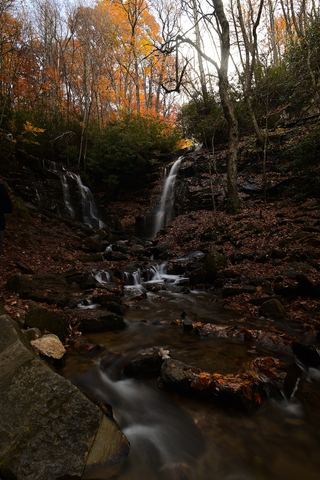 Soco FallsShort marked trail from the new EBCI parking areaJackson County, NC3.9 miS
- Fountain Branch FallsSwain County, NC5.8 miNW
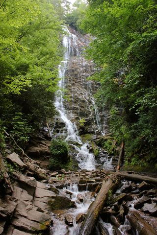 Mingo FallsResearched visit notesAbout 120 ft · Swain County, NC5.9 miW
- Buckshot FallsSwain County, NC6.0 miNW
- Plott Hound FallsHaywood County, NC6.0 miSE
- Campbell Creek FallsHaywood County, NC6.1 miSE
- Alyssa FallsHaywood County, NC6.1 miSE
- Lyn Lowry FallsHaywood County, NC6.1 miSE
- Big Boy FallsSwain County, NC6.2 miNW