Soco Falls
Jackson County, North Carolina
Your visit at a glance
- Waterfall height
- Not recorded
- Location
- Jackson County, North Carolina
- Access status
- Short marked trail from the new EBCI parking area
- The walk
- About 0.4 miles return (0.2 miles each way)
- Ground & access
- Easy, with a steep section. The scramble to the base is very steep and slippery.
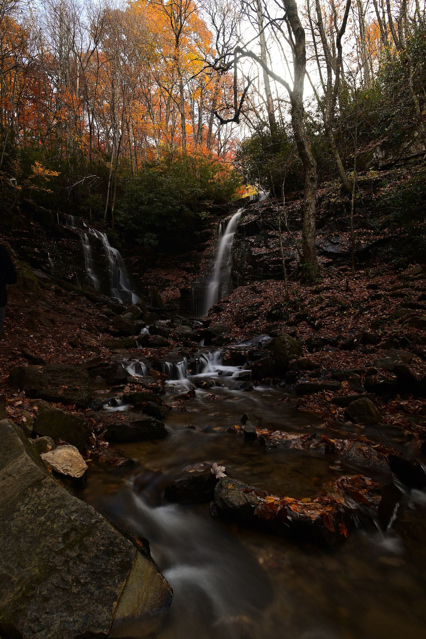
Soco Falls is a 50-foot double waterfall where Brush Creek meets Soco Creek on Eastern Band of Cherokee Indians land. In 2025 the EBCI built a new parking area with picnic tables, portable toilets and a kiosk. The old pullout above the falls is fenced off. The trail starts at the kiosk at the lower end of the parking area and is marked and easy to follow, with a steep section.
Plan your visit
EBCI parking area on US 19 to the Soco Falls overlook on a marked trail
NC Waterfalls gives a 0.2 mile hike from the new parking area. Same trail both ways.
Easy, with a steep section. The scramble to the base is very steep and slippery.
Where to start
EBCI parking area on US 19, 1.0 mile south of the Blue Ridge Parkway bridge and about 10 miles north of Cherokee. The old roadside pullout is closed.
Timing & water
Very popular; expect company.
Before you go
No fee is mentioned in the reviewed source.
Visitor informationVisit sources
More waterfalls nearby
Within 40 straight-line miles. Road and trail distances will differ.
- Alyssa FallsHaywood County, NC3.4 miE
- Campbell Creek FallsHaywood County, NC3.4 miE
- Lyn Lowry FallsHaywood County, NC3.4 miE
- Plott Hound FallsHaywood County, NC3.4 miE
- Gina FallsPartial guide: no trail to the falls, difficult bushwhack from the West Fork TrailJackson County, NC3.9 miS
- Dark Hollow FallsJackson County, NC3.9 miS
- Flat Creek FallsPartial guide: trail reaches only the brink; no safe viewpoint and the park discourages visitsHaywood County, NC3.9 miN
- 10,000 Trillium FallsJackson County, NC4.0 miS
- Fisher FallsTown park trail with free trailhead permit; trailside viewJackson County, NC4.4 miS