Tennessee
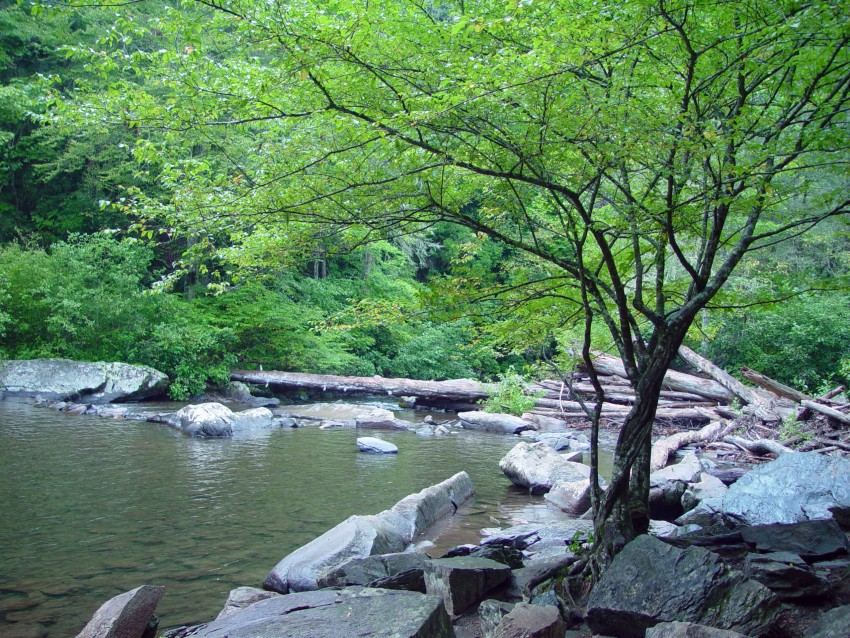
Abrams Falls
5 miles round-trip
Hike from Cades Cove to the falls; swimming is strongly discouraged by NPS.
Compare 98 Tennessee waterfall visits by the approach, terrain, and where to start. Some routes have closures or unresolved details; read the individual guide before travelling.
98 visit options
Tennessee
5 miles round-trip
Hike from Cades Cove to the falls; swimming is strongly discouraged by NPS.
National park trail and trailhead documented
Tennessee
4 miles round trip, per the National Park Service
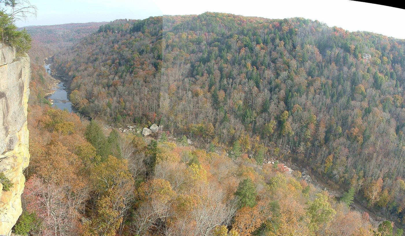
Angel Falls is a class IV rapid on the Big South Fork River that the National Park Service says was once a 10-foot waterfall. Start at the trailhead at the back of the Leatherwood Ford parking lot and follow the Angel Falls Trail downstream beside the river to the rapid. Return the same way. Do not enter the rapid; it is dangerous.
Roadside viewing area and parking documented; USFS reports open.
Tennessee
Short roadside viewing stop; distance unknown
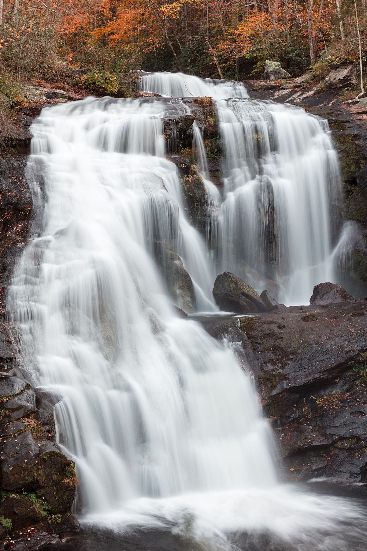
Bald River Falls can be viewed without undertaking the upstream Bald River trail.
Partial guide: final approach is an unmaintained side path
Tennessee
1.4 miles on Baskins Creek Trail to the side path (Gatlinburg CVB figure); side path distance not stated
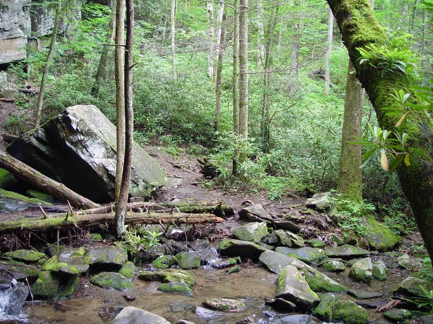
Baskins Creek Falls is a 40-foot, two-tier waterfall on Falls Branch in Great Smoky Mountains National Park. From the trailhead on the left of the one-way Roaring Fork Motor Nature Trail, about 0.2 mile after the turn from Cherokee Orchard Road, the Baskins Creek Trail climbs a pine ridge and then descends steeply to Falls Branch. At about 1 mile it crosses Falls Branch. At 1.4 miles, turn left onto an unmaintained side trail that follows Falls Branch downstream to the falls. The visitor bureau warns that this side trail is steep, slippery and can be dangerous. Return the same way.
State natural area trail to the base of the falls
Tennessee
About 2.2 to 2.5 miles one way; sources differ
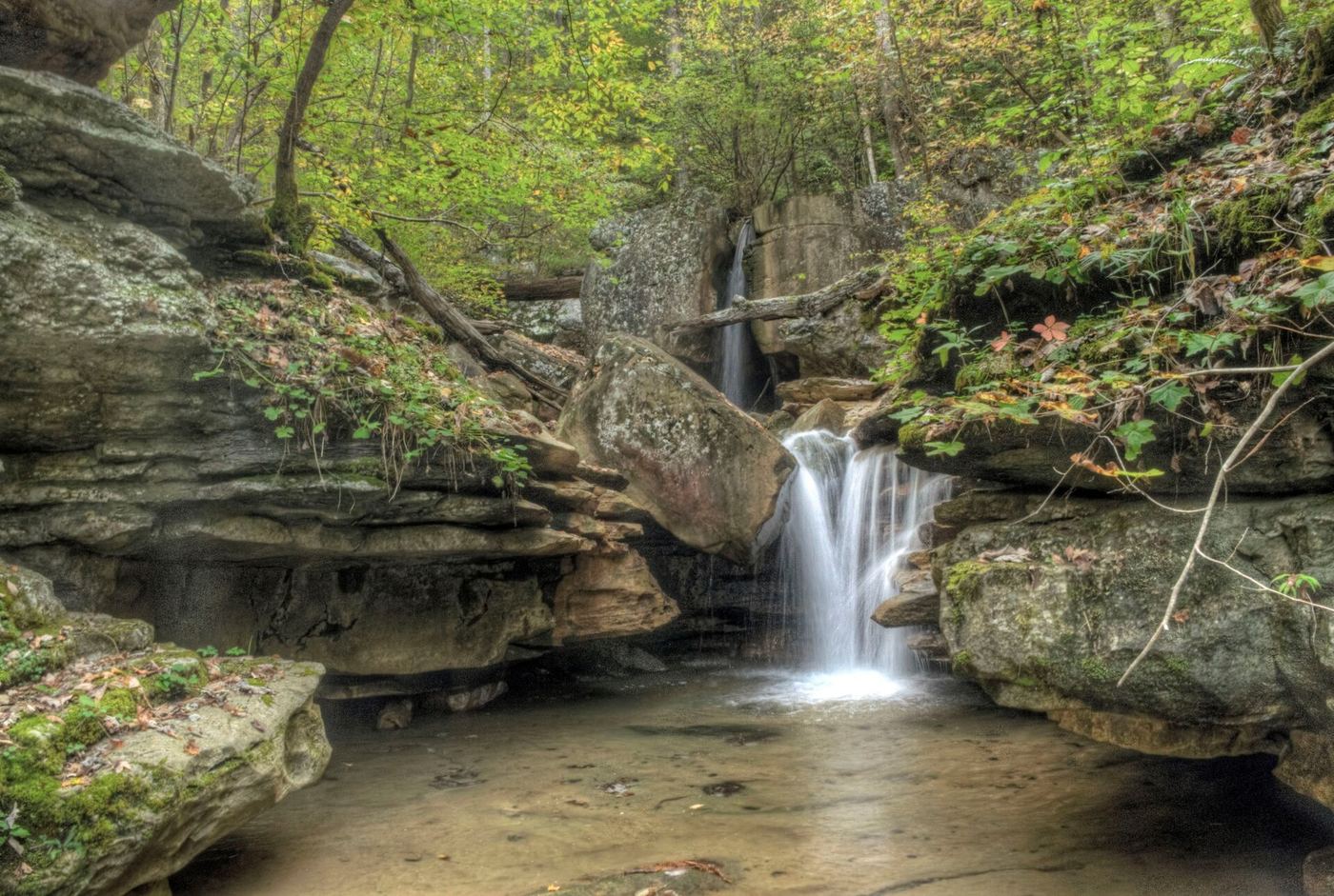
Big Laurel Falls drops about 45 feet into a large rock overhang on Big Laurel Creek in Virgin Falls State Natural Area. Start on the Virgin Falls Trail at the north end of the parking lot. The trail follows Big Branch and Big Laurel Creek past Big Branch Falls, crosses Big Laurel Creek on a cable crossing at 1.5 miles, and continues high on the ravine past caves and rock houses to the base of Big Laurel Falls. Virgin Falls is about 2.1 miles farther. Return the same way.
State park trail route and trailhead documented
Tennessee
About 0.6 miles from the overflow parking, per a visitor report
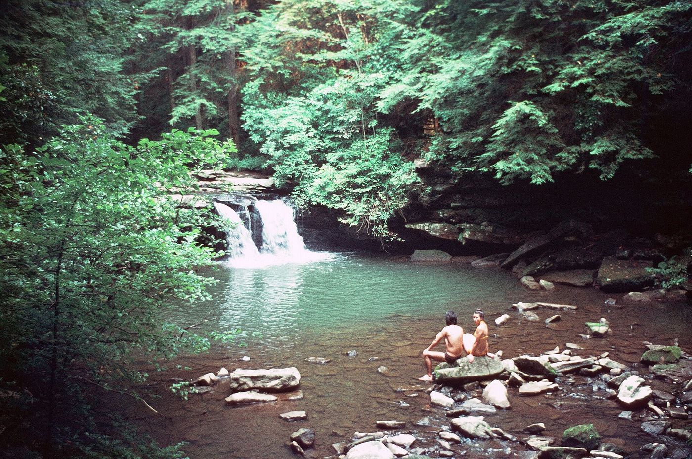
Blue Hole Falls is a small waterfall of about 9 feet over a pool about 7 feet deep on Little Fiery Gizzard Creek, at the north end of the Fiery Gizzard Trail. From the Grundy Forest Trailhead, follow the Grundy Forest Day Loop past a large rockhouse with Little Fiery Gizzard Creek on your left. Cross a footbridge over a small tributary to reach a side view of the falls from the trail. Cross a footbridge over School Branch and go down a wooden staircase for a front view. Return the same way, or continue on the Day Loop.
Official state park trail loop and parking documented
Tennessee
1.5-mile round-trip loop (Tennessee State Parks figure)
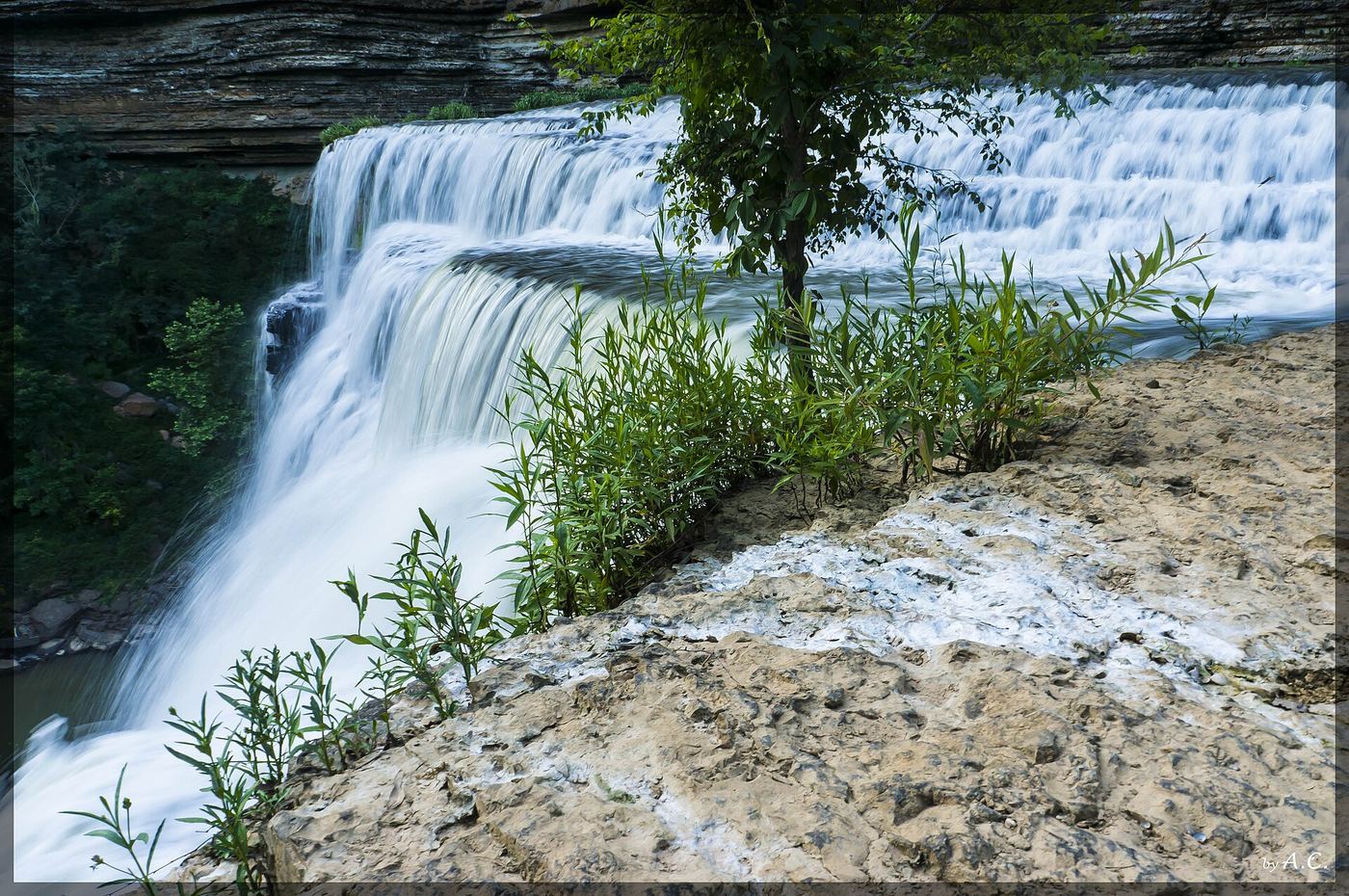
Burgess Falls is the 136-foot lower falls, the last and tallest of four waterfalls on the Falling Water River in Burgess Falls State Park. The River Trail leaves the parking lot and follows the river past the cascades, the upper falls and the middle falls to the main falls overlook. Tennessee State Parks says most people return to the parking lot along the gravel service road. There is no access to the base of the falls from the park; the park says the base is reached by boat or kayak from the Cane Hollow Recreation Area. There is no designated swim area.
State park overlooks and trail documented
Tennessee
Short walk to the overlooks; distances not published
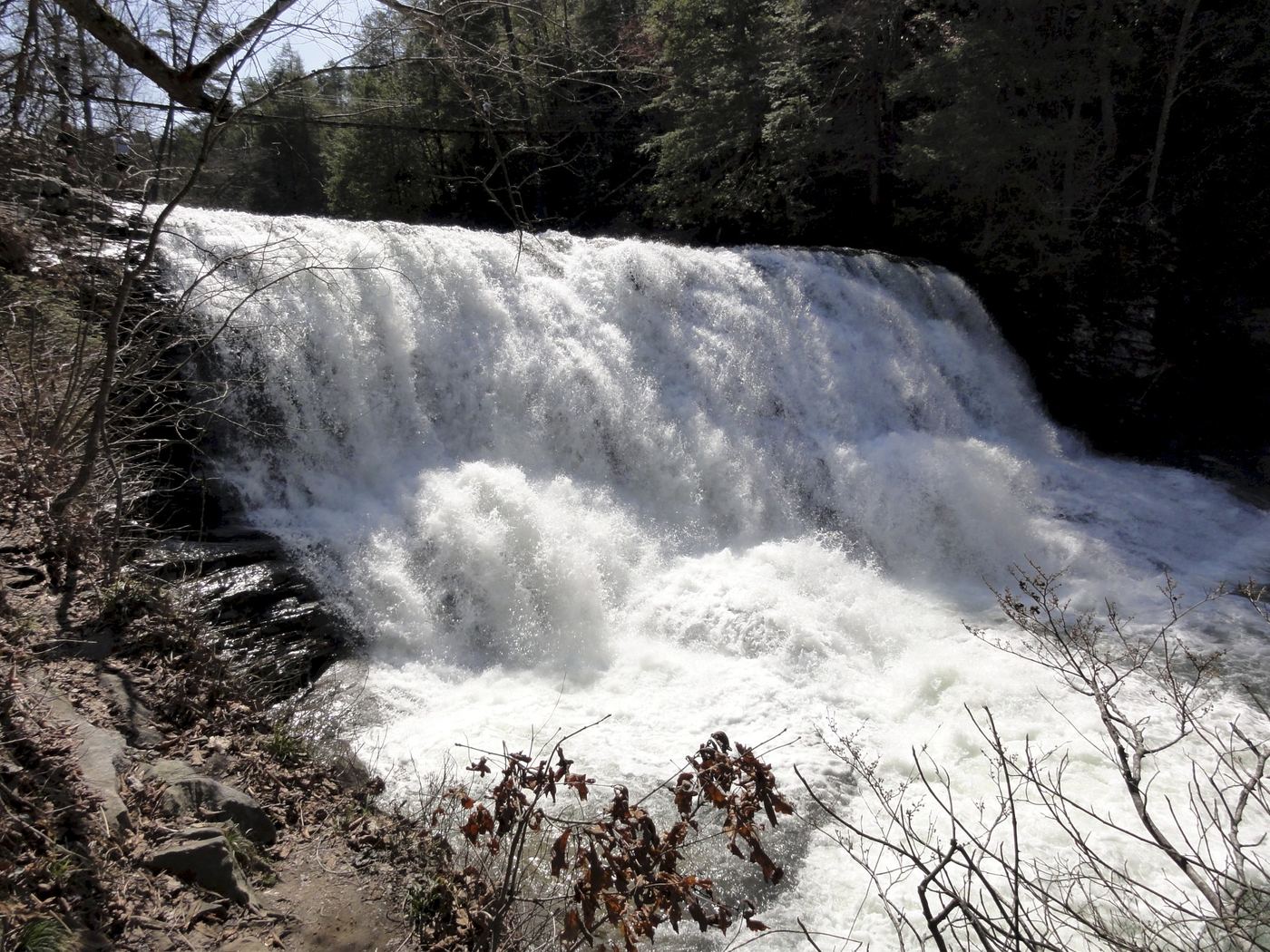
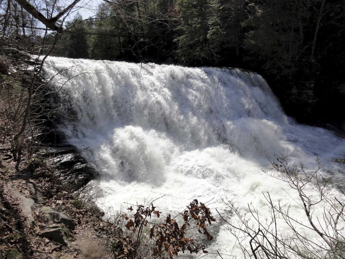
Cane Creek Falls is an 85-foot plunge in Fall Creek Falls State Park, beside 125-foot Rockhouse Falls, which shares its pool. From the Betty Dunn Nature Center, an overlook close to the parking area gives a partial view. For a better view, cross the suspension bridge above Cane Creek Cascades and walk up the trail toward Fall Creek Falls; Rockhouse Falls is visible from there too. The Cable Trail descends steeply into the gorge to the base of the falls, with a cable to hold.
State park nature center access documented; short walk
Tennessee
Short walk; the bridge is less than 100 yards from the nature center, per a Waymarking listing
Cane Creek Cascades is a sloping waterfall of about 30 feet on Cane Creek in Fall Creek Falls State Park, the smaller upstream companion of Cane Creek Falls. It is right behind the Betty Dunn Nature Center. A suspension bridge about 150 feet long crosses Cane Creek about 20 feet above the cascades. Go Waterfalling says the cascades are easy to visit and that you can stand underneath them. The bridge connects to the trails toward Fall Creek Falls and the Cane Creek Falls overlook. This listing is the cascade, not the larger Cane Creek Falls just downstream, which has its own listing.
Guide: short walk from Sugarlands Visitor Center
Tennessee
0.7 mile round trip
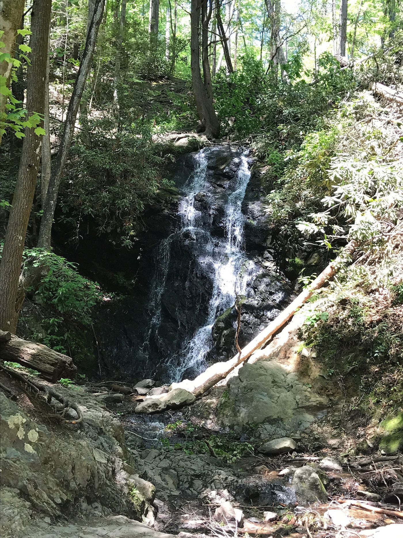
Cataract Falls is a narrow 40-foot waterfall on Fighting Creek, a short walk from Sugarlands Visitor Center in Great Smoky Mountains National Park. Park at the visitor center, walk past the restrooms and behind the building, and turn left off the paved path onto the Fighting Creek Nature Trail. After crossing the large bridge, turn right at the trail junction and follow the side trail to the falls. The park says the falls are most dramatic after heavy rain and that visitors have been badly injured climbing around the falls, so view and photograph them from the bottom. Return the same way.
Source-reviewed route and parking
Tennessee
About 50 yards one way from the overlook parking lot.
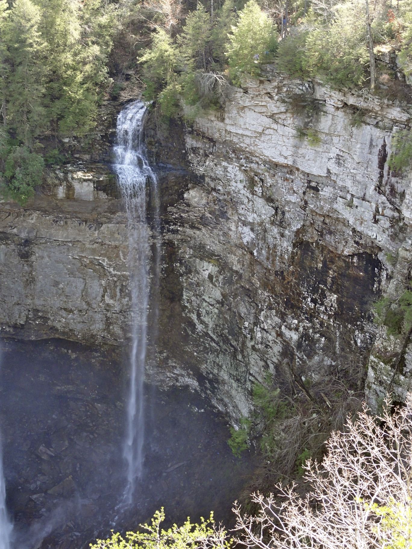
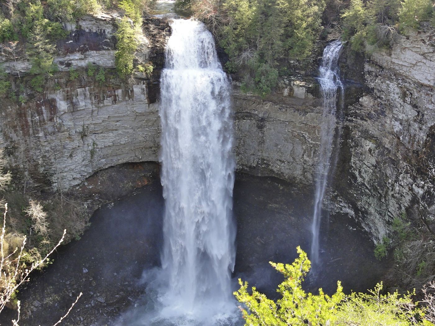
Walk the short paved path from the Fall Creek Falls overlook lot to the viewing platform. Coon Creek Falls is the thinner seasonal waterfall on the right of Fall Creek Falls. Two firsthand accounts explicitly identify this shared viewpoint. The optional Base of Falls Trail is a separate strenuous descent; the current park page gives 0.35 mile down, with a steep return.
Guide: overlook trail; permit needed for the base
Tennessee
Falls Overlook Trail: 0.35 mile. Gorge Access Route: 0.50 mile
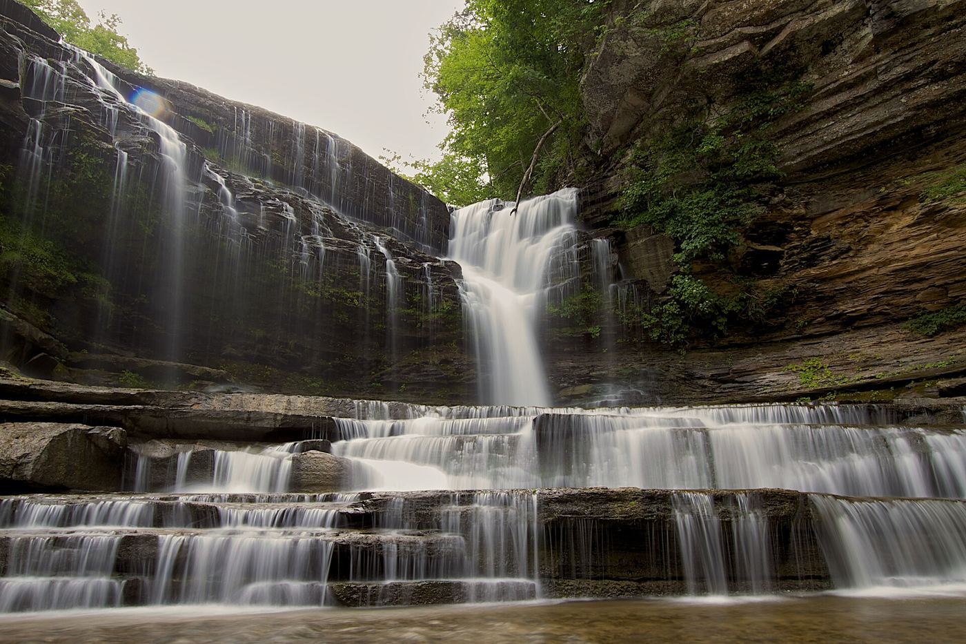
Cummins Falls is a 75-foot waterfall on the Blackburn Fork State Scenic River in Cummins Falls State Park. The Falls Overlook Trail leads from the park to an accessible overlook on top of the bluff above the gorge, and no permit is needed for it. Going down into the gorge to the base of the falls needs a Gorge Access Permit. The park says the gorge trip is strenuous and requires wading, climbing rocks and crossing slippery rocks, and the gorge can close suddenly when water rises. The park recommends that children 5 and under not go to the falls, and children 12 and under must wear life vests at the falls and be with an adult.
Tennessee
Short paved overlook approach; optional 0.35-mile descent to the base
Use the Fall Creek Falls overlook parking area and paved path for the accessible view. The optional base trail is a separate strenuous descent and climb back.
State park viewing platform and trailhead documented
Tennessee
0.2 miles round trip to the viewing platform, per Waterfall Record
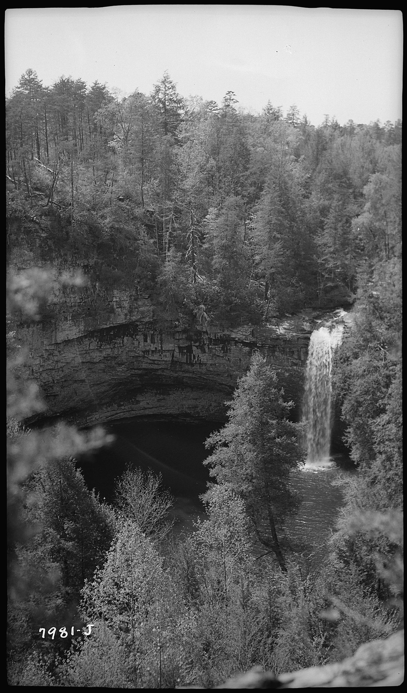
Foster Falls is a 60-foot waterfall on Little Gizzard Creek at the south end of the Fiery Gizzard Trail in Fiery Gizzard State Park. A viewing platform close to the parking area gives a view of the falls from a distance. A short, steep trail descends from near the platform and crosses a suspension bridge to the base, where the falls plunge into a deep pool. A third viewpoint is across the river on the Fiery Gizzard Trail; it has no fence or barrier at a drop of more than 60 feet. Horsehair Falls, a separate listing, is visible from that viewpoint.
Researched walking route
Tennessee
4.6 miles return
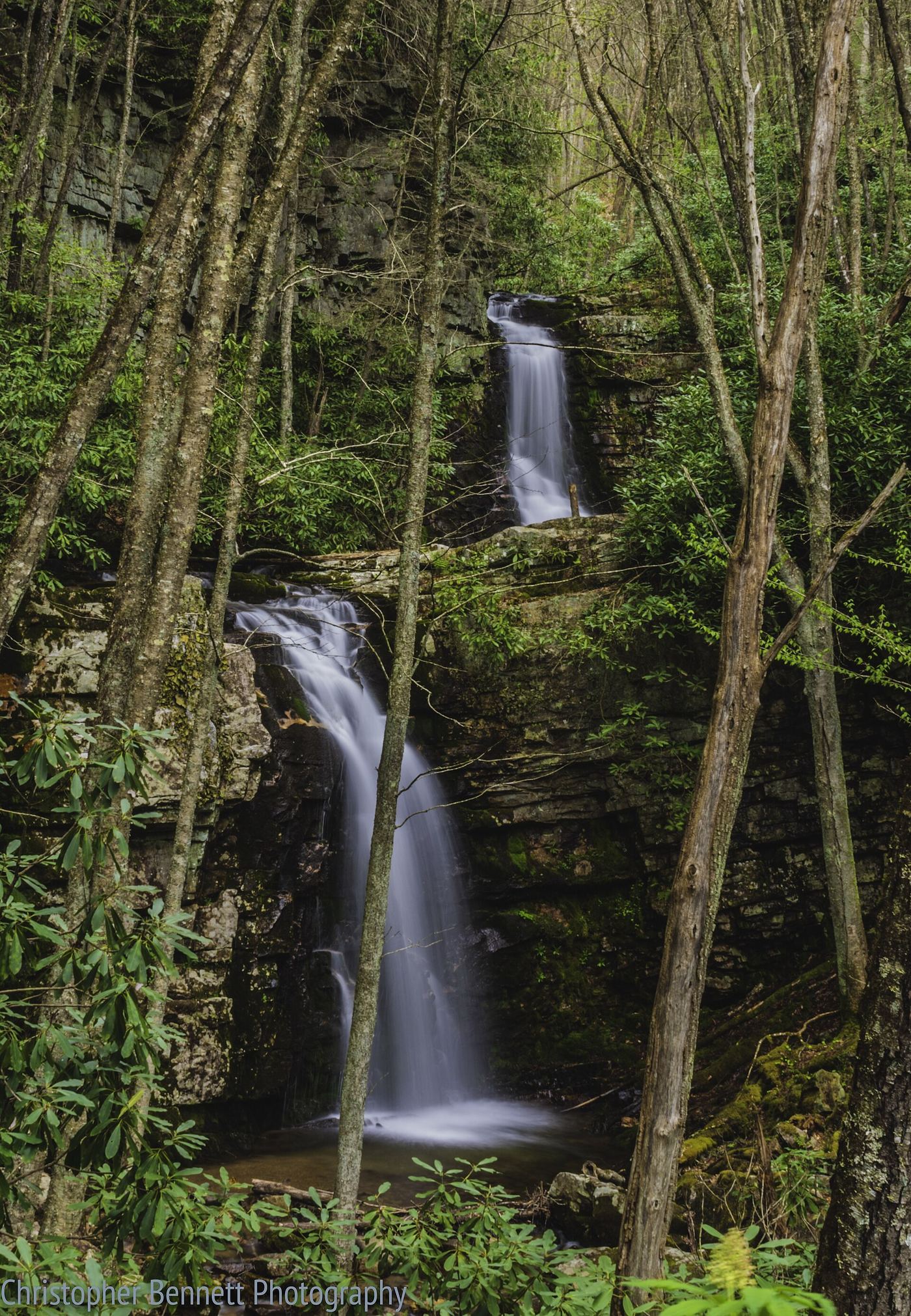
The official route follows Gentry Creek through a remote forest with repeated creek crossings.
Tennessee
Distance conflict: 2.6 or 4 miles round-trip
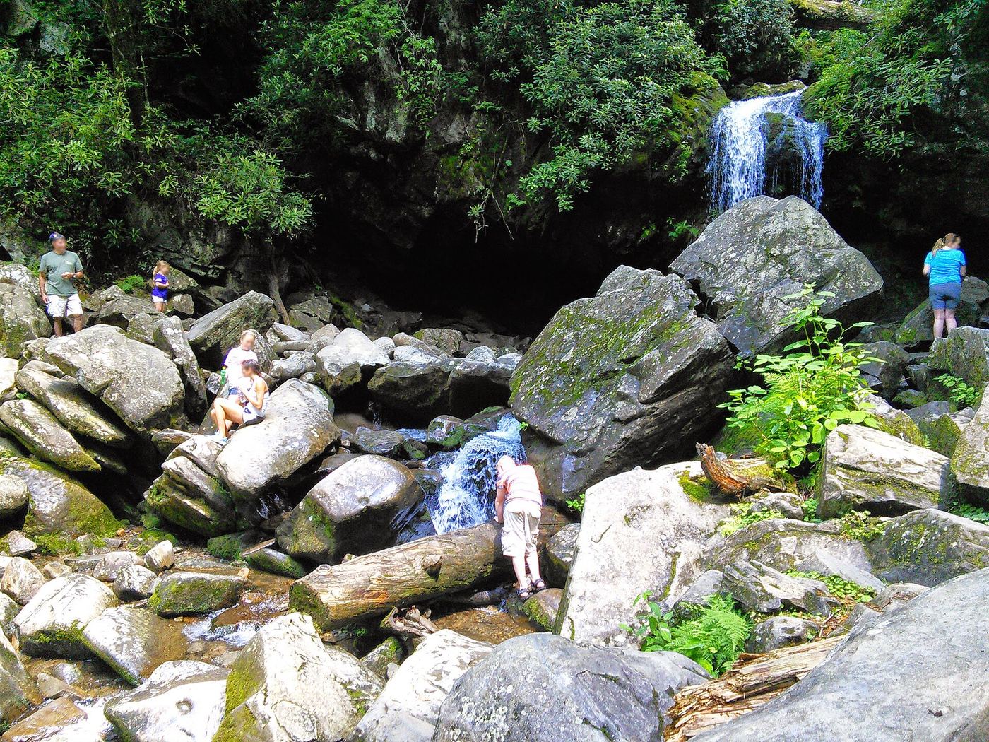
The forest trail crosses streams and reaches the waterfall from Trillium Gap Trailhead.
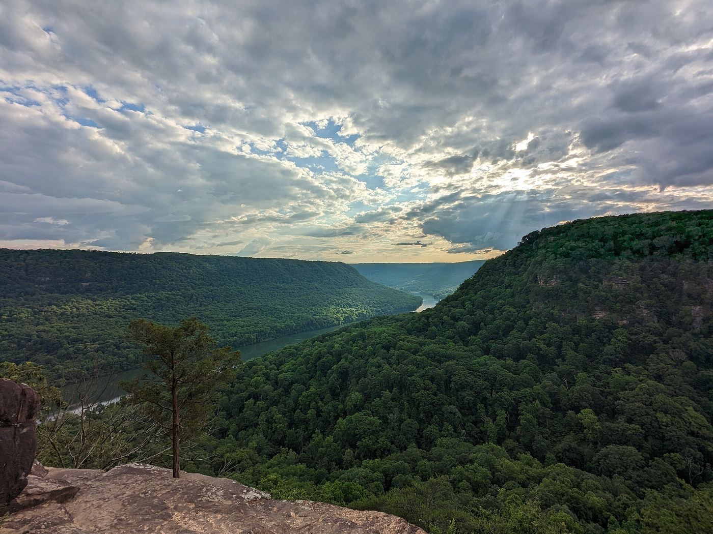
Overlook view from the Cumberland Trail; wet-weather falls
Tennessee
Mile 0.4 from the Signal Point parking area, per the Cumberland Trail Conference
Julia Falls is a 95-foot wet-weather falls seen from an overlook across the Middle Creek Gorge, near the southern end of the Cumberland Trail on Signal Mountain. From the Signal Point parking area, follow the paved path to the overlook, then follow the rock wall to the right past the split rail fence and through a chain-link fence to the start of the trail. The trail drops down a series of ramps and staircases into Middle Creek Gorge and reaches the Julia Falls Overlook at Mile 0.4. With enough rain, the falls are visible straight ahead across the gorge. Return the same way.
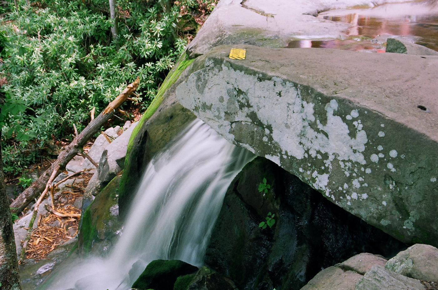
Trail closed
Tennessee
Closed; walk distance not established in opened notice
The trail is closed from Fighting Creek Gap Road through its upper trail junctions.
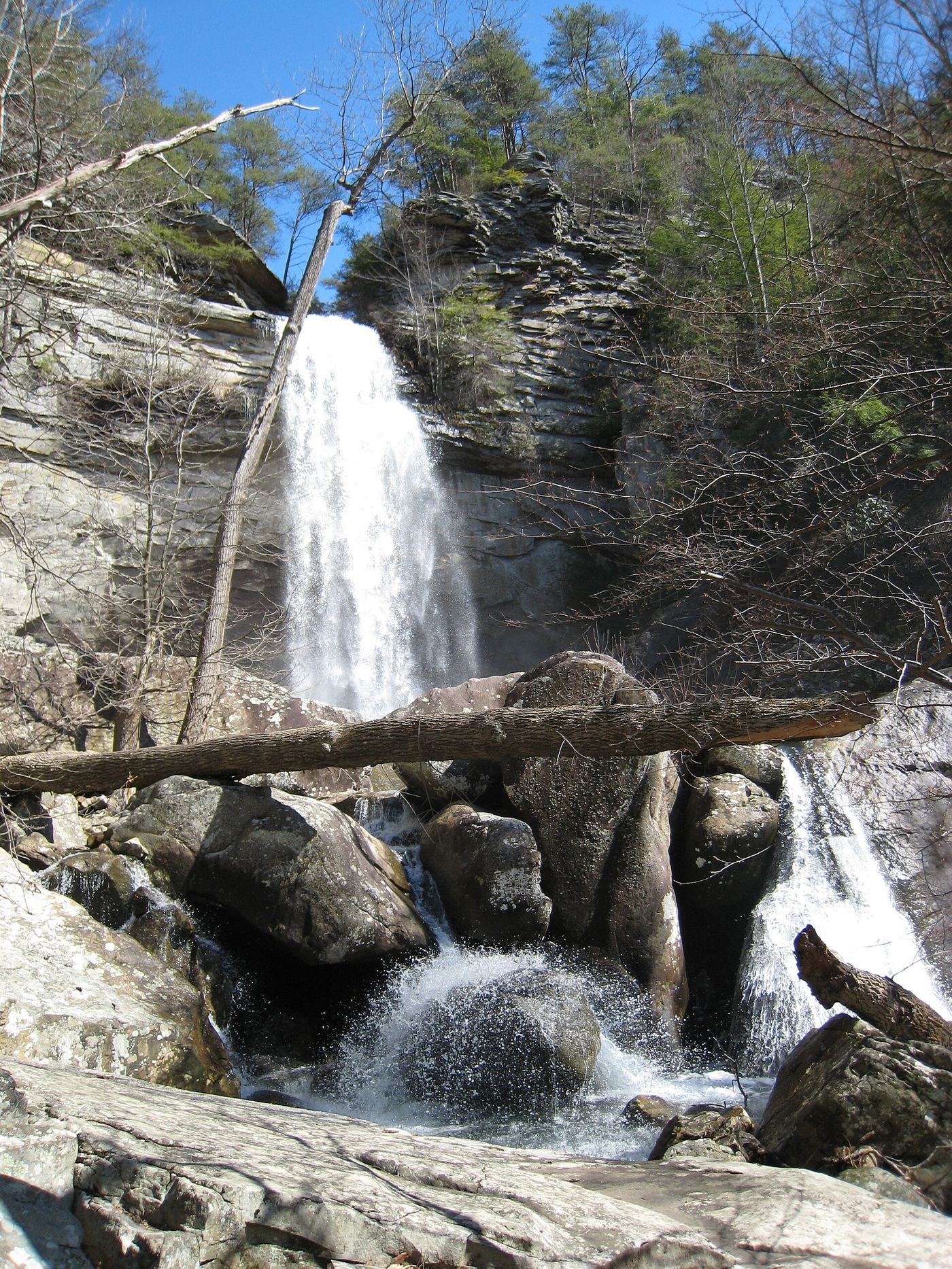
State natural area trail route documented
Tennessee
About 1.7 miles to the fork, then 0.7 mile up the Laurel Falls spur, per the Cumberland Trail Conservancy; Go Waterfalling gives 1.5 miles one way
Laurel Falls is an 80-foot waterfall on Laurel Creek in Laurel-Snow State Natural Area near Dayton. The trail starts wide and flat on an old railbed along Richland Creek, past old mine entrances (do not enter). After a metal bridge over Laurel Creek, the trail forks at mile 1.7; take the right fork toward Laurel Falls. The spur climbs steadily and reaches the foot of the falls at mile 0.7. The trail continues steeply to the left of the falls to overlooks on the plateau. Return the same way.
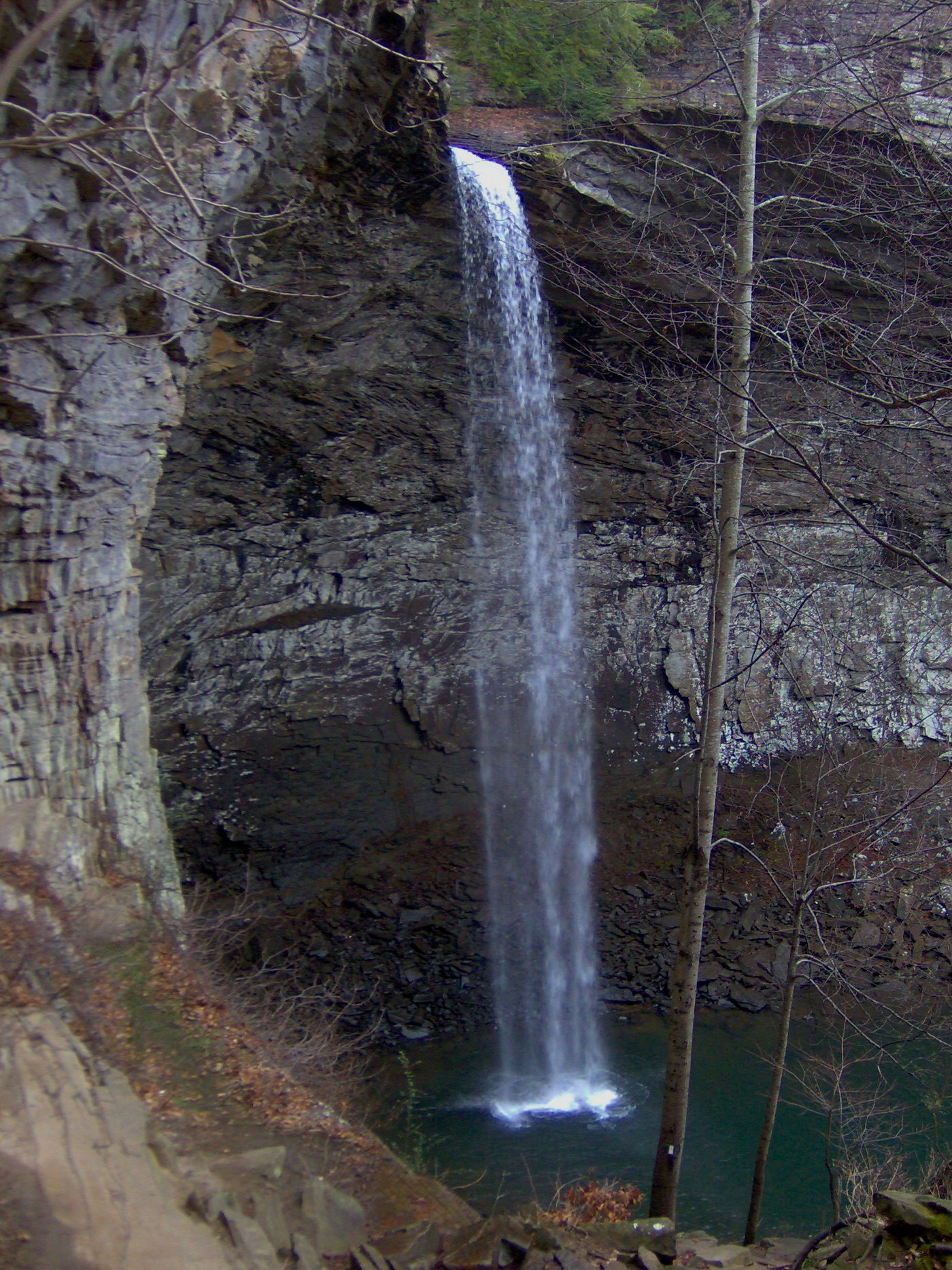
Researched walking route
Tennessee
Waterfall approach distance not stated
A rugged descent reaches the base from the signed US 70 natural-area parking. The longer Black Mountain route is a different approach.
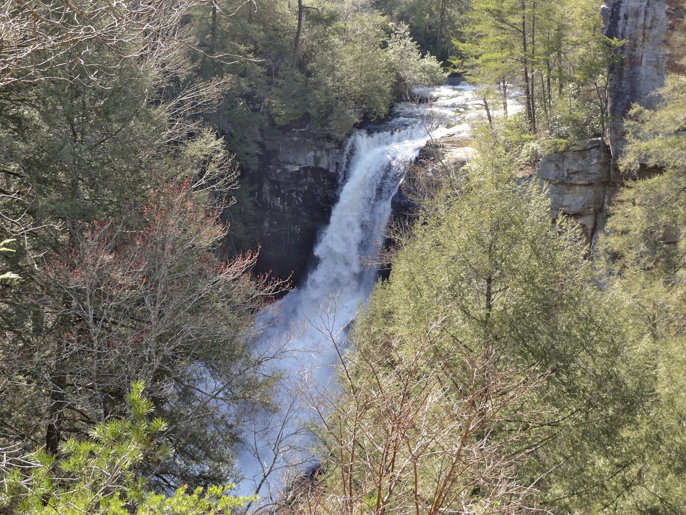
Guide: short overlook trail from the Piney Falls parking lot
Tennessee
Piney Falls Overlook Trail: 0.30 mile
Piney Creek Falls (Piney Falls) is in Fall Creek Falls State Park. The Piney Falls Overlook Trail starts at the Piney Falls Overlook parking lot and gives views of the falls before crossing a swinging bridge and ending at the Piney Creek Mountain Bike Trail. The park also lists a paved path from the dam past the Fall Creek Falls overlook that continues 0.90 mile to Piney Creek Falls. The park lists the longer Piney Falls Trail, from the Fall Creek Falls parking lot to the Piney Falls parking lot, as closed after storm damage, so check the park trail list before using it.
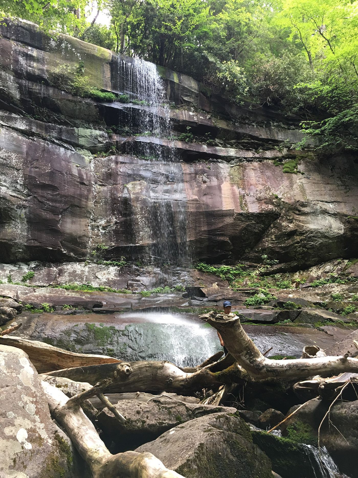
Tennessee
5.6 miles round-trip
Climb through forest to the waterfall; this is a substantial hike.

Partial guide: final descent is an unmaintained steep path; height differs between sources
Tennessee
No reliable distance to the falls is given
Rainbow Falls is a hidden waterfall on Middle Creek below Rainbow Lake on Signal Mountain. From the Rainbow Lake Trailhead on Ohio Avenue, walk past the golf course and an old spring house to the junction about half a mile in, then down to Middle Creek near the 1916 dam and the 100-foot swinging bridge on the Cumberland Trail. Do not cross the swinging bridge; follow the white-blazed Cumberland Trail toward Signal Point on the same side of the creek for a little less than a mile, cross a small rustic bridge, and a few minutes later look for the paths down to the falls. A visitor guide says the westernmost path is the easiest, but it is a steep, unmaintained cliff path, with ropes tied between trees. The descent is not a maintained trail, so this is a partial guide.
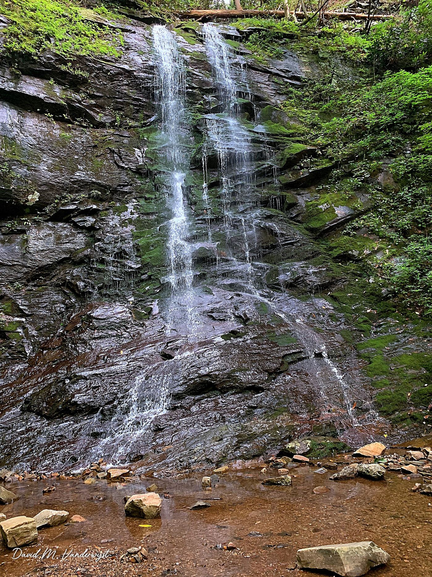
Guide: short forest trail; keep left at the fork
Tennessee
0.56 mile one way (1.12 miles round trip)
Sill Branch Falls is a remote waterfall on Sill Branch in the Clarks Creek area of Cherokee National Forest near Erwin. From the trailhead on Clarks Creek Road, follow Forest Service Trail 115 mostly uphill. At the junction of two blue-blazed trails, keep left, cross the creek on flat stepping stones, and climb a short steep section to the falls. The right fork is the Sill Branch South Trail toward Rich Mountain. The falls shrink to a trickle in dry spells, so go after rain. Return the same way.
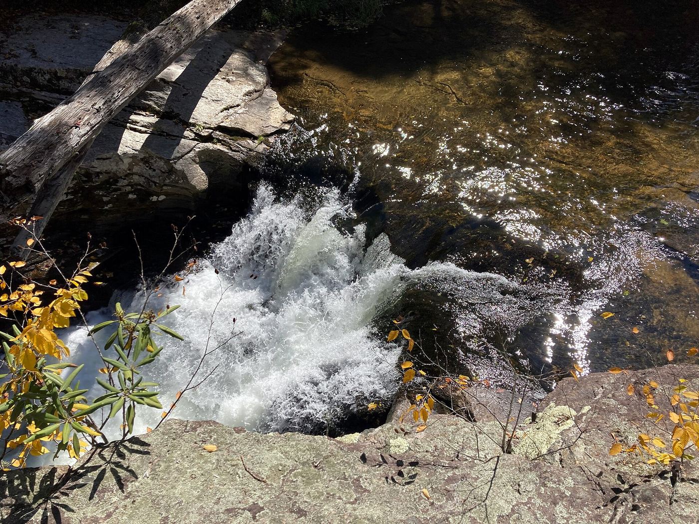
Partial guide: unmarked side path and unofficial connector; scramble to the base
Tennessee
The visitor guide gives a hike length of 3.6 miles
Splash Dam Falls is a short waterfall where the Elk River squeezes through a narrow rock channel, in Cherokee National Forest in Carter County, Tennessee. From the end of Elk River Road, follow the gated forest road to the river ford, do not cross, and take the path downstream past a campsite, across Jones Branch and up to the Appalachian Trail. Go straight (north) on the Appalachian Trail about 1 mile to where it starts to climb; an unsigned path on the right leads to the river at the top of the falls, where a large flat rock overlooks the channel. Visitor accounts say reaching the base is a tricky, steep rock scramble. The side path is unmarked and the connector to the Appalachian Trail is unofficial, so this is a partial guide.
State park overlook and parking documented
Tennessee
Overlook beside the parking area
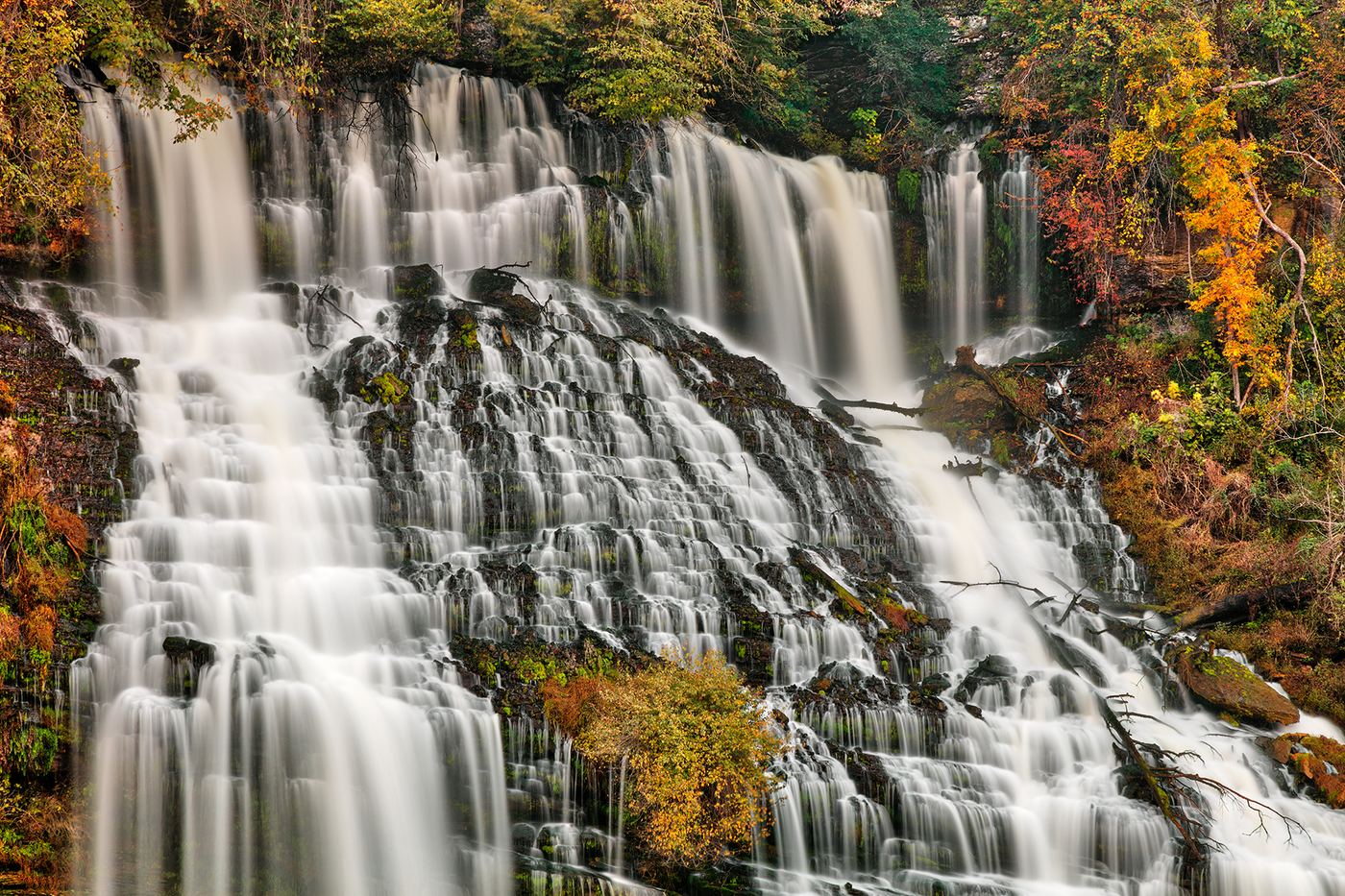
Twin Falls is the tallest waterfall in Rock Island State Park, where water from the Collins River flows out of limestone bluffs into the Caney Fork River. The park says to view it from the Twin Falls Overlook at the end of Powerhouse Road, which has parking, benches, a kiosk and an observation area. There is no trail access to the falls, and swimming or wading around or downstream of Twin Falls is not permitted.

State natural area trail and trailhead documented; long hike
Tennessee
Four miles one way, per Tennessee State Natural Areas
Virgin Falls is formed by an underground stream that comes out of a cave, drops over a 110-foot cliff and disappears into another cave at the bottom of a sink, in Virgin Falls State Natural Area in White County. From the parking lot on Scotts Gulf Road, the trail passes small rockhouses, boulder fields, sinks, caves and other waterfalls and ends at Virgin Falls. Return the same way.
Partial notes: parking documented; pedestrian approach unverified.
Tennessee
Distance unknown
Tourism directions identify a separate Baby Falls parking area on Tellico River Road beyond Bald River Falls.
Location map; no photo available.
Researched route and starting area
Tennessee
1.5 miles each way; 3 miles round trip.
A signed recreation-area approach leads to the trail for Benton Falls.
Location map; no photo available.
State natural area trail passes the falls; distance to this falls not published
Tennessee
Before the Big Laurel Creek cable crossing, which the state places at 1.5 miles; no separate distance to Big Branch Falls is given by the state
Big Branch Falls is a small waterfall, about 15 feet high according to a visitor account, on the Big Branch of Big Laurel Creek in Virgin Falls State Natural Area, managed with Scott's Gulf Wilderness State Park. From Sparta, drive east on US 70 about 11 miles, turn right on Eastland Road, go 6 miles to Scotts Gulf Road, then 2 miles to the parking lot on the right (2080 Scotts Gulf Road). The Virgin Falls Trail starts at the north end of the lot. It crosses the forest, meets Big Laurel Creek and follows and crosses it to Big Branch Falls, the first waterfall on the trail. Return the same way, or continue toward Big Laurel Falls and Virgin Falls past the cable crossing.
Location map; no photo available.
Partial guide: total distance not stated; creek crossings without bridges
Tennessee
Distance from parking not fully stated; about 0.2 to 0.3 mile on the Birchfield Camp Trail
Birchfield Camp Falls is a set of modest drops and cascades on Birchfield Camp Creek in the Cherokee National Forest. From the turnaround at the end of Lower Higgins Creek Road, hike the gated road that climbs along Higgins Creek. Lower Higgins Creek Falls is visible from the road after about 0.6 mile. Continue up the road past another creek crossing, where a bridge used to stand, to the turnoff for the Birchfield Camp Trail where the two creeks meet. Cross and follow the Birchfield Camp Trail about two or three tenths of a mile up to the falls. Return the same way. The firsthand route account is older, and the crossings had no bridges when it was written.
Location map; no photo available.
State natural area trail passes the falls
Tennessee
1.8 miles round trip (Waterfall Record)
Black Canyon Falls is a cascade, about 15 feet high according to Waterfall Record, where Little and Big Fiery Gizzard creeks meet and pour through a narrow sandstone gorge about five feet wide and 30 feet deep, in Grundy Forest State Natural Area, operated by Tennessee State Parks as part of Fiery Gizzard State Park. In Tracy City, turn off US 41/56 at the Grundy Forest Natural Area sign and follow the signs through two more right turns to the parking area. The Fiery Gizzard Trail starts to the left of the parking area at a kiosk with maps and sign-in sheets and drops to Little Fiery Gizzard Creek. Pass Cave Spring Rock House, School Branch Falls and Blue Hole Falls. About 0.2 mile past Blue Hole Falls, where the Grundy Forest Day Loop goes straight, turn left on the Fiery Gizzard Trail, cross the bridge over the creek and turn right downstream to the Black Canyon cascade. Return the same way, or continue 0.3 mile to the Chimney Rocks and Sycamore Falls.
Location map; no photo available.
Ritchie Hollow Trail from the river or from the plateau
Tennessee
3.6 miles round trip from the river, or 1.8 miles round trip from Davis Pond, per Southeast Tennessee Tourism
Blowing Wind Falls is a 30-foot cascade in Ritchie Hollow in Prentice Cooper State Forest, on the north side of the Tennessee River Gorge. From the river, the Ritchie Hollow Trail starts on Tennessee River Gorge Trust land across from the Pot Point Cabin, enters the state forest, passes old moonshine still sites and climbs into Ritchie Hollow; a short, steep spur on the right drops along the base of a cliff to the falls. From the plateau, the trail descends from the Davis Pond trailhead, crosses the Pot Point Loop of the Cumberland Trail, and reaches the falls. Return the same way.
Location map; no photo available.
Short national forest trail and parking documented
Tennessee
0.4-mile out-and-back trail (Elizabethton Star figure)
Blue Hole Falls is a waterfall in several sections on Mill Creek in the Holston Mountain area of Cherokee National Forest, with a swimming hole (the Blue Hole) at the main drop. From the pull-off, an old road on the north side leads down to the creek above the uppermost section; the path continues past a mossy cascade and descends to the main falls and pool. The Elizabethton Star describes two paths at the start: a longer, less steep one beside the stream and a steeper one with exposed roots, and a set of very steep stairs down to the pool. Another obvious path from the parking area leads to cliffs above the falls with a view of the main pool and lower section. Return the same way.
Location map; no photo available.
Roadside view from a pull-off on Little River Road; parking tag required
Tennessee
Roadside view; no walk described
Cane Creek Twin Falls are two small falls that flow into the Little River from the far bank. American Travel Journal describes a small parallel parking area on the river side of Little River Road (Little River Gorge Road) at the falls, with the falls seen across the river. The leaves hide the falls for most of the year. No path to the base and no river crossing is described.
Location map; no photo available.
Guide: short city park trail to a viewing platform
Tennessee
About 0.3 mile; the trail page calls it an out-and-back trail
City Lake Falls is a small waterfall at City Lake Natural Area, a City of Cookeville park on City Lake with a boat ramp, picnic tables and the remains of the city's first water treatment plant. The trail starts at the end of the parking lot. The first part is paved and easy and leads to the old brick plant building; a gravel section then loops around a second historic building and ends at the falls, where a small wooden platform gives the view. Return the same way.
Location map; no photo available.
Partial guide: Forest Service trailhead documented; which drop in the series this listing marks is not confirmed
Tennessee
A short distance down the trail to the first cascades, per a visitor account; no distance is published for this drop
Coker Creek Falls is a series of cascades, single drops and pools on Coker Creek in the Cherokee National Forest. The Forest Service directions end at a trailhead at the end of Forest Road 2138. A visitor account describes the trail sign a short way down the trail from the parking area, then cascades and falls one after another downstream, with a spur trail closer to the stream. This listing sits about 110 m from the trailhead and appears to mark one drop in this series; which drop it marks is not confirmed. Return the same way.
Location map; no photo available.
Route and parking researched
Tennessee
1.5 miles return
Trail #170 leads to Conasauga Falls near Tellico.
Location map; no photo available.
Guide: steep forest trail; park at the gravel area past the trailhead
Tennessee
About 1/2 mile of trail, plus 0.1 to 0.2 mile of road walking from the parking area, to reach the falls
Coon Den Falls is a 50-foot cascading waterfall on Coon Den Branch in the Dennis Cove area of Cherokee National Forest. The Coon Den Falls Trail follows the branch steeply uphill toward the Appalachian Trail, and the falls are about halfway up. A visitor account says there is no parking at the trailhead itself: park at the gravel area just before the one-lane bridge near Dennis Cove campground, walk back along the road to the trailhead sign, then climb. Near the falls the trail reaches a T junction; take the left branch up to the base. The Forest Service says the falls are best seen after the leaves drop. Return the same way.
Location map; no photo available.
Park trail route documented; trailhead is unsigned
Tennessee
About 1.4 miles one way, 2.8 miles round trip, per Boro Pulse
Crockett Falls is a wide, low falls about 5 feet tall that spans the full width of the creek in David Crockett State Park. Boro Pulse describes the Shoal Creek Trail, which starts in Campground 1: walk into the woods between campsites 7 and 8, near a small playground and parking area. The start was unsigned when described, but the trail is marked with green painted rectangles on trees. It runs along the western bank of Little Shoal Creek, mostly level over a few small bridges, then climbs a hill above the water and drops down to the falls. Return the same way. A parking lot also sits just off the falls for visitors who prefer to drive.
Location map; no photo available.
National park trail route documented; flow can be low
Tennessee
About 0.5 mile to the Crooked Arm Ridge Trail junction, then about 0.2 mile up that trail, per a visitor account
Crooked Arm Cascades is a 25-foot cascade on Crooked Arm Branch in Great Smoky Mountains National Park, on the north edge of Cades Cove. From the trailhead at the beginning of Cades Cove Loop Road, the Rich Mountain Loop Trail reaches the junction with the Crooked Arm Ridge Trail at about half a mile. Turn onto the Crooked Arm Ridge Trail; the falls are about 0.2 mile up from its lower end, as the trail approaches Crooked Arm Branch. Return the same way, or hike the full 8.5-mile Rich Mountain Loop. The cascade can be nearly dry; it is best in spring or after heavy rain.
Location map; no photo available.
State park trail route and trailhead documented
Tennessee
Just over 0.5 mile to the spur, then a couple hundred feet to the falls (one way)
Debord Falls is a ledge waterfall of about 10 feet with a large plunge pool on Panther Branch in Frozen Head State Park. From the back of the Panther Branch Trailhead parking lot, follow the Panther Branch Trail (blue markers), a wide old road that climbs gradually with the creek below on the right. Just past 0.5 mile, take the signed spur to the right. A couple hundred feet later, steps lead down to a viewing area at the base of the falls. Return the same way, or continue up the main trail to Emory Gap Falls.
Location map; no photo available.
National forest trail route documented; three wading fords
Tennessee
Hike length 2.2 miles, per Waterfall Hero; three wading crossings of Laurel Fork
Dennis Cove Falls is a 25-foot waterfall on Laurel Fork in the Dennis Cove Recreation Area of the Cherokee National Forest. From the parking area, cross the road and take the blue-blazed Laurel Fork Trail (#39) upstream. At 0.5 miles is the first ford of Laurel Fork, the hardest one; a second ford follows in a couple hundred feet and a third about 0.1 miles later. At 1 mile a side trail on the right leads to Lower Dennis Cove Falls, a separate 10-foot drop. Stay on the main trail another 0.1 miles and, just after a rocky outcrop, take a spur trail to the right a short way to the falls. Return the same way.
Location map; no photo available.
Guide: difficult trail with boulder fields to the base
Tennessee
Denny Cove Trail 0.45 mile, then Denny Falls Trail 1.00 mile one way
Denny Falls is a double-drop cascade at the head of Denny Cove in the Denny Cove area of Fiery Gizzard State Park (formerly part of South Cumberland State Park). From the Denny Cove Trailhead, follow the Denny Cove Trail toward Denny Overlook, then take the Waterfall Trail, also called the Denny Falls Trail. Friends of the Parks describes a steep descent near the start, a junction where the climbers' spur to Buffet Wall bears left (keep right), then boulder fields with loose rocks and rough stone steps up to the base of the falls. Return the same way.
Location map; no photo available.
Source-reviewed roadside view and parking
Tennessee
View from the lot; optional few steps down
The firsthand guide describes Dudley Falls visible directly from its roadside lot, with a few steps down for another view. USFS identifies the falls within the Paint Creek Corridor. Do not jump from the cliffs.
Location map; no photo available.
State park trail route and trailhead documented
Tennessee
About 1.35 miles one way (Parking Full Time Hiking)
Emory Gap Falls is a drop of about 10 feet followed by many cascades through a boulder field, at the end of the Emory Gap Trail in Frozen Head State Park. From the back of the Panther Branch Trailhead lot, follow the Panther Branch Trail (blue markers) up the old road past the Debord Falls spur. At about 0.9 mile, where the Panther Branch Trail turns right, keep left on the Emory Gap Trail (white markers), still on the old road. Just past 1 mile, two switchbacks climb the hillside. The trail ends at the base of the falls at about 1.35 miles. Return the same way.
Location map; no photo available.
State park trail and trailhead documented; limited parking
Tennessee
Short walk; the cascades are the first of four waterfalls on the River Trail. The park gives 1.5 miles round trip for the full River Trail and service road loop
Falling Water Cascades is the 20-foot cascade on the Falling Water River in Burgess Falls State Park, the first of four waterfalls along the River Trail. The others are the 30-foot upper falls, the 80-foot middle falls and the 136-foot Burgess Falls, which have their own listings. The River Trail leaves the main trailhead parking lot and follows the river downstream. Most people return to the parking lot along the service road.
Location map; no photo available.
Guide: short trail to the top of the falls; very small parking area
Tennessee
Short trail; no distance is given
Falling Water Falls is a 110-foot waterfall on Little Falling Water Creek, where it drops off the Cumberland Plateau escarpment into Falling Water Gorge. It is in a Tennessee state natural area managed with Cumberland Trail State Park. A short trail from a small parking area leads to the falls and to a wide view of the Tennessee River Valley, Pickett Gulf and Buzzard Point from the top of the falls. The state page describes the view from the top; it does not describe a route to the base. Return the same way.
Location map; no photo available.
Tennessee
2.6 miles round trip
Follow white-blazed Trail 87 to Falls Branch Falls. The final descent is steep, and the return requires climbing back up.
Location map; no photo available.
Guide: short park trail; falls are seasonal
Tennessee
1.2 miles round trip
Glen Falls is a seasonal waterfall on the east side of Lookout Mountain, on the Glen Falls Trail in the Lookout Mountain Battlefield unit of Chickamauga and Chattanooga National Military Park. Start at the trailhead on Ochs Highway across from the Shingle Trail. The trail is mainly downhill to the falls with no confusing side trails, and it has a footbridge and stone steps near the falls. Water flows only in wet periods. Return the same way on the trail. Do not walk back along Ochs Highway: a visitor guide warns that traffic is fast and there is no shoulder.
Location map; no photo available.
State park trail route and trailhead documented; steep stairs
Tennessee
Greeter Falls Day Loop about 1.4 miles in all (Friends of South Cumberland)
Greeter Falls is a free-falling waterfall of about 50 feet on Firescald Creek in Savage Gulf State Park. From the Greeter Falls parking area, the trail starts as a wide, nearly flat old road to a loop junction. The loop passes Boardtree Falls and Upper Greeter Falls, a 15-foot drop. Lower Greeter Falls, the main falls, is reached by a descending trail, a metal spiral staircase and wooden stairs and steps into a walled canyon. Return to the parking area on the loop.
Location map; no photo available.
State park loop trail and trailhead documented
Tennessee
About 1.1 miles to the falls clockwise, per a visitor report; the full loop is about 2 miles
Hanes Hole Falls is a small, angular falls with a large plunge pool on Big Fiery Gizzard Creek, on the Grundy Forest Day Loop at the north end of the Fiery Gizzard Trail. From the trailhead beside the restroom building, the trail forks within a couple hundred feet; turn left to hike the loop clockwise. The trail drops into the gorge of Little Fiery Gizzard Creek, passes Blue Hole Falls at 0.6 miles and reaches a steel bridge and trail junction at 0.75 miles. Stay right on the Day Loop. The trail then heads upstream with Big Fiery Gizzard Creek below on the left and reaches Hanes Hole Falls at 1.1 miles. The trail stays well above the falls, which are seen through gaps in the trees. Past the falls, the loop climbs out of the gorge and returns along the rim. White diamonds mark the trail.
Location map; no photo available.
Tennessee
4.3 miles round-trip
Follow Gabes Mountain Trail from Cosby to the falls.
Location map; no photo available.
State park trail to viewpoint documented; unfenced cliff edge
Tennessee
1 mile round trip, per Waterfall Record
Horsehair Falls is a smaller waterfall on a side creek beside Foster Falls in Fiery Gizzard State Park. From the parking lot, start out on the Fiery Gizzard Trail. You walk over the creek that becomes Horsehair Falls, then cross the bridge above the river that becomes Foster Falls. A short way farther, a viewpoint opposite the Foster Falls viewing platform shows Horsehair Falls and Foster Falls together. Horsehair Falls may be dry when the creek is not flowing. Return the same way.
Location map; no photo available.
Guide: difficult river-gorge trail past Suter Falls
Tennessee
2 miles past Suter Falls
Horsepound Falls is on the Collins Gulf Trail in the Savage Gulf State Park area of the South Cumberland region. From the Savage Gulf South (Collins Gulf) trailhead, walk 0.4 mile to the trail start, 0.2 mile past Collins West Campground, where the Collins Rim Trail goes straight and the Collins Gulf Trail goes down and to the left. The Collins Gulf Trail follows the Collins River past Suter Falls; Horsepound Falls is 2 miles beyond Suter Falls. The park says the trail can become impassable during ice buildup around Suter Falls and in high water. Return the same way.
Location map; no photo available.
National park trail route and trailhead documented
Tennessee
About 2.2 miles one way (Hiking in the Smokys)
Huskey Branch Falls is a small 20-foot cascade that runs down the slope beside the Little River Trail and under a small footbridge into the Little River, in Great Smoky Mountains National Park. From the Little River Trailhead in Elkmont, follow the trail up a gentle grade on an old railroad bed beside the river, past old cottages near the start. At roughly 2.2 miles you reach the falls. Return the same way, or continue to the Cucumber Gap Trail junction at just under 2.5 miles.
Location map; no photo available.
Cumberland Trail route and trailhead documented; long, strenuous hike
Tennessee
Mile 5.1 from Heiss Mountain Road, per the Cumberland Trail Conference; 10.2 miles round trip, per a hiker
Imodium Falls is a nickname for Little Possum Creek Falls on the Cumberland Trail in Justin P. Wilson Cumberland Trail State Park. From the kiosk at Heiss Mountain Road, the trail descends through the Blanchard Creek gorge, crosses Big Possum Creek on a bridge, climbs over Hughes Ridge near Perkins Point and descends into the Little Possum Creek gorge. At Mile 5.1, descend a rock staircase to the falls. A short, very steep side trail leads about 100 feet to the base; the trail conference asks hikers not to try any other route to the bottom. Return the same way.
Location map; no photo available.
National park trail route documented; short side path at the end
Tennessee
7.5 miles round trip, per Smokies LIVE; NC Waterfalls gives about 8 miles round trip
Indian Flats Falls is a four-tier waterfall on Indian Flats Prong in Great Smoky Mountains National Park. From the parking area at the end of Tremont Road, cross the iron footbridge and follow the Middle Prong Trail, a wide old railroad grade, up Lynn Camp Prong. Continue straight at the Panther Creek Trail junction. About a mile past an old brick chimney, right after a wide bridge over Indian Flats Prong, the trail climbs and makes two sharp switchbacks. As you approach the second switchback, near a dark rocky bluff, a small side path leads right for a few hundred feet over rocks and through rhododendron to the falls. The uppermost 20-foot drop is on the left. Return the same way.
Location map; no photo available.
Partial guide: the link from the forest road to the Appalachian Trail is an unofficial path
Tennessee
1.6 miles from the trailhead to the falls, per one visitor account
Jones Falls is a 100-foot waterfall on Jones Branch, a tributary of the Elk River, in Cherokee National Forest in Tennessee, reached from the Elk River Falls parking area in North Carolina. From the parking turnaround, follow the gated forest road through a powerline clearing toward the river. Where the road turns down to ford the river, do not cross; stay straight on the narrow path along the riverbank, rock-hop across Jones Branch, and climb steeply to the Appalachian Trail. Turn left (south) on the white-blazed Appalachian Trail, climb past a set of timber stairs, and turn left at the sign for Jones Falls; the blue-blazed side path leads to the base. The connector between the forest road and the Appalachian Trail is an unofficial path, so this is a partial guide. Return the same way.
Location map; no photo available.
Partial guide: usual access road closed by flood damage; alternate drive to the falls not described
Tennessee
Under 0.1 mile (Waterfall Hero)
Kelley Falls (also spelled Kelly Falls) is a 15-foot waterfall on Paint Creek in the Paint Creek Corridor of the Cherokee National Forest. The Forest Service lists an overlook for the falls along the corridor road. Waterfall Hero describes parking at a small pull-off on the right of Lower Paint Creek Road (FR 41), 0.5 mile past Paint Creek Campground, just before the waterfall, then walking across the road to the top of the falls. A scramble path a little further down the road leads to creek level. The Forest Service says the usual approach on Rollins Chapel Road is closed by flood damage and that the corridor is reached by Paint Mountain Road to Lone Pine Gap. No source describes the drive from Lone Pine Gap to the falls, so check the Forest Service page before going.
Location map; no photo available.
Forest Service route and trailheads documented
Tennessee
About 1.3 miles to the falls; about 2.6 miles round trip, per the Forest Service
Laurel Falls on Laurel Fork, also called Laurel Fork Falls, is about 40 feet high and 50 feet wide, in the Pond Mountain Wilderness of the Cherokee National Forest. The Forest Service gives two routes. The more moderate route follows the white-blazed Appalachian Trail northbound from the Dennis Cove trailhead for about 1.3 miles to the falls. The longer route starts at the Laurel Falls trailhead on US 321 and follows the blue-blazed Hampton Blueline Trail (#501) to the Appalachian Trail, then turns right (south) on the Appalachian Trail for about 1.5 miles to the falls. Trail #501 forks into a high-water and a low-water route. Return the same way.
Location map; no photo available.
Guide: Cumberland Trail hike to a stream crossing with cascades
Tennessee
3.3 miles one way from the Retro Hughes Road trailhead
The Leggett Branch cascades are where the Cumberland Trail crosses Leggett Branch in Rock Creek Gorge near Sale Creek. From the Retro Hughes Road trailhead, follow the Cumberland Trail north through the woods and down steep stairs and a short ladder to the 80-foot Rock Creek Bridge at mile 2.6, past a campsite at mile 2.8, to the Leggett Branch crossing at mile 3.3, where the cascades are beside the trail. A visitor account says the cascades are best after rain and the low crossing rocks can be under water then. Return the same way, or continue north toward Leggett Road.
Location map; no photo available.
State park trail route and parking documented
Tennessee
Distance to Little Falls not stated; the full River Trail and service road loop is 1.5 miles round trip
Little Falls is the 30-foot drop on the Falling Water River just downstream of the Falling Water Cascades in Burgess Falls State Park. Tennessee State Parks calls it the upper falls. The River Trail leaves the parking lot and follows the river past the 20-foot cascades, then this 30-foot falls, then the 80-foot middle falls and the 136-foot Burgess Falls. Return the same way, or finish the loop and walk back on the service road as most visitors do.
Location map; no photo available.
State natural area trail and parking documented
Tennessee
Short walk; distance not stated
Lost Creek Falls is a waterfall of about 40 feet (60 feet in one visitor account) in Lost Creek State Natural Area, where the creek pours into a large sink and disappears underground. Lost Creek Cave opens on the other side of the sink. From the parking lot, an easy trail with some roots and a set of stairs leads down to the base of the falls. Return the same way.
Location map; no photo available.
Guide: wilderness trail with a creek ford
Tennessee
About 3 miles one way; the guide gives a hike length of 6 miles
Lower Falls is a 15-foot waterfall on Slickrock Creek on the Tennessee and North Carolina line, in the Joyce Kilmer-Slickrock Wilderness of Nantahala and Cherokee National Forests. Park along the small Ike Branch road just off US 129 by the bridge over Calderwood Lake. The road becomes the Slickrock Creek Trail (Trail 42) and enters the wilderness along the lake; Ike Branch Trail splits left at 0.6 mile. At about 1.6 miles the trail turns up Slickrock Creek past cascades. At about 2.8 miles it crosses Slickrock Creek, which can be difficult in high water, then passes a small falls on a tributary at 3 miles; Lower Falls is just beyond. A steep scramble path leads from the trail down to the base. Return the same way.
Location map; no photo available.
Forest road route and parking documented; steep scramble to the base
Tennessee
About 0.6 mile to the trail view; Waterfall Hero lists the hike as 1.2 miles
Lower Higgins Creek Falls is on Higgins Creek in the Unaka Ranger District of the Cherokee National Forest. From the turnaround at the end of the gravel spur road, walk up the gated road that continues along Higgins Creek. It climbs the whole way but is not too steep. In about 0.6 mile the falls is visible from the road. A steep scramble path leads down to the base. Return the same way.
Location map; no photo available.
Partial guide: national forest trail documented; distance and the exact named falls are not confirmed
Tennessee
About 0.25 to 0.3 mile, per two sources; a state park ranger hike describes about 2 miles up steep terrain to a waterfall on this trail
Lowry Falls Trail is a Cherokee National Forest trail off TN 30 in Polk County with several small waterfalls, rock bluffs and rhododendron. It begins on an old gravel road and gets harder as it nears the falls area. A hiking blog says that about 0.25 mile in, a rock bluff runs beside the trail; walk under the bluff to reach the best waterfall. A state park ranger program describes the same trailhead as a steep 2-mile climb past cascades to a waterfall, with roots, rocks and sections that need handholds. Which waterfall along the trail is the one named Lowry Falls is not confirmed, so this is a partial guide. Do not climb on the falls.
Location map; no photo available.
Guide: easy trail walk to the cascades
Tennessee
1.4 miles round trip
Lynn Camp Prong tumbles over and around rocks in a series of cascades beside the Middle Prong Trail in the Tremont area of Great Smoky Mountains National Park. Park at the Middle Prong Trailhead at the end of Upper Tremont Road, which is unpaved but well maintained, and walk up the Middle Prong Trail. The trail follows an old logging railroad grade, so it is wide and fairly level. Return the same way.
Location map; no photo available.
Partial guide: roadside view only; exact pull-off not identified
Tennessee
Roadside view; no walk
Mannis Branch Falls is a two-part waterfall, about 30 feet in total, on Mannis Branch across the Little River from Little River Road in Great Smoky Mountains National Park. Visitor accounts say it can be seen from the road at a pull-off between Elkmont and the Sinks, but it sits back in a hollow and trees hide it, especially in summer. Reaching the base means wading the Little River; one firsthand account describes waist-deep water, slick rocks and a strong current, and notes that people drown in the Little River. Do not try to cross. The sources do not say exactly which pull-off to use.
Location map; no photo available.
Route and parking researched
Tennessee
0.5-mile road segment plus 0.7-mile creek segment: about 1.2 miles one way; 2.4 miles round trip.
Follow the old road from the parking area. Stay on the signed Margarette Falls route where Phillips Hollow branches across Dry Creek, then follow West Fork Dry Creek to the falls. Return the same way.
Location map; no photo available.
Partial guide: parking at the gated road is not confirmed; unmarked side path
Tennessee
About a mile, per a visitor account; another account gives a little over 2 miles round trip
Martin Creek Falls (also called Martin's Creek Falls) is a 20-foot waterfall in the Cherokee National Forest just outside Erwin. From the gated forest service road at the end of Martins Creek Road, walk the old road about a mile. A side path leads off to the left of the old road; it is not signed and is sometimes marked only with tape, so it is easy to miss. The side path comes out at the top of the falls, and a short, steep climb leads down to the pool at the base. Return the same way. Where to park at the gate is not documented: an older account describes an unmarked spot for about one car, and a later visitor found a locked vehicle gate beside a private home. No source confirms where to park.
Location map; no photo available.
Guide: Cumberland Trail in-and-out hike to the falls
Tennessee
2.8 miles one way to the spur, then about 200 feet down to the falls
McGill Creek Falls is at the current end of the McGill Creek section of the Cumberland Trail near Graysville. Start at the Roaring Creek Trailhead on Brayton Mountain Road; about 70 yards past the kiosk, turn left on the McGill Creek trail. The trail roughly follows Brayton Mountain Road for 1.1 miles, crosses the road, then descends into McGill Creek Gulf, reaching the creek at 2.2 miles and an aluminum bridge at 2.4 miles. Beyond the bridge, stone steps and a boulder field with white blazes lead to the blue-blazed spur at 2.8 miles, which drops about 200 feet to the falls. The trail ends at the falls, so return the same way.
Location map; no photo available.
Park trail route documented; unbridged creek crossings; parking tag required
Tennessee
About 2 miles one way, 4.0 miles round trip, per The Outbound
Meigs Creek Cascade, also called Upper Meigs Falls, is on Meigs Creek in Great Smoky Mountains National Park. The Meigs Creek Trail starts at The Sinks on Little River Road. It climbs stone steps, crests around 1 mile in, then descends to Meigs Creek and follows the creek upstream. The Outbound reports four creek crossings before the cascade, 2 miles in. There are no footbridges at the crossings. Return the same way, or continue toward Buckhorn Gap.
Location map; no photo available.
Roadside national park viewpoint documented
Tennessee
No walk; viewed from the roadside pull-off
Meigs Falls is a roadside waterfall of about 28 feet on Meigs Creek, seen from Little River Road in Great Smoky Mountains National Park. No sign marks it. Driving west from Sugarlands Visitor Center, go about 13 miles, about one mile past The Sinks, and look for a large pull-off on the left lined by a stone wall, the only one with a stone wall on that stretch. The falls are about 300 feet back from the road on the opposite side from Little River and can be hard to see when the leaves are out. There is no trail to the falls; view them from the pull-off. Upper Meigs Falls on the Meigs Creek Trail is a separate waterfall.
Location map; no photo available.
Guide: river trail past the cascades and upper falls
Tennessee
The River Trail Service Road Loop is 1.5 miles round trip; the middle falls are partway along it
The middle falls is the 80-foot third waterfall on the Falling Water River in Burgess Falls State Park. The River Trail leaves the parking lot and follows the river past the 20-foot cascades and the 30-foot upper falls to the middle falls, then on to the 136-foot main falls overlook. The park says most people return to the parking lot on the service road. The park says there is no access to the base of the main falls from the park and there is no designated swim area.
Location map; no photo available.
Road and creek-crossing approach; total distance unconfirmed
Tennessee
Total distance unconfirmed; published approach figures conflict
Use Horse Creek Picnic Area parking, follow Forest Road 94 to Forest Road 94B, then Pete's Branch Trail #12 to the falls.
Location map; no photo available.
National forest trail route documented by visitor accounts; creek crossing
Tennessee
About half a mile, an estimate by Appalachian Treks; a creek crossing on the way
Pine Ridge Falls is a 25-foot waterfall on Devil's Fork in the Clarks Creek area of the Cherokee National Forest, Unicoi County. From the parking loop, a small brown sign marks the Longarm Branch Trail. After a short walk the trail crosses the creek; once across, it forks. Stay left; the falls are a short distance farther. A visitor account says the start of the trail is overgrown for about 50 yards, then becomes a relatively flat trail. The larger falls upstream (Josiah Falls) are reached only by climbing rocks and following a faint path; they are not part of this guide. Return the same way.
Location map; no photo available.
National park trail route and trailhead documented; strenuous
Tennessee
8 miles round trip (National Park Service)
Ramsey Cascades, about 105 feet tall, is the tallest waterfall in Great Smoky Mountains National Park. From the Ramsey Cascades Trailhead in Greenbrier, the trail follows an old gravel road for about 1.5 miles to an old turnaround, then becomes a narrower, rockier footpath through old-growth forest, crossing footlog bridges and streams as it climbs to the base of the falls. Return the same way. The park says not to climb to the top of the falls.
Location map; no photo available.
Partial guide: trails and trailhead named; turn-by-turn route and distance to the falls not given
Tennessee
7 miles out and back, per Friends of the Parks
Ranger Falls is in Big Creek Gulf in the northern part of Savage Gulf State Park. Friends of the Parks describes a challenging full-day, 7-mile out-and-back hike that starts on the Stone Door Trail, then follows the Big Creek Gulf Trail and the Ranger Falls Trail down into Big Creek Gulf to the falls. Return the same way. The page does not give turn-by-turn directions or the length of each trail; use the park trail map.
Location map; no photo available.
Partial guide: unofficial path and a dangerous scramble to the base; land manager not confirmed
Tennessee
About half a mile, per visitor accounts
Red Fork Falls is a 60-foot waterfall, the main drop in a series of falls on Red Fork on the side of Unaka Mountain near Unicoi. From TN 107 (Limestone Cove Road), turn onto Red Fork Road (Unaka Mountain Road) and drive about 1.2 miles to a small pull-off on the right marked by a red dot on a tree. The path drops to a creek crossing, bears right across a second creek, and follows the creek a short way to the top of the falls. Visitor accounts say getting to the base means climbing down a near-vertical, slick slope beside the falls using rocks and roots, and that people have been badly hurt and killed here. Stay off the rocks at the top of the falls. The path is not an official trail and the land manager is not confirmed by an official source, so this is a partial guide.
Location map; no photo available.
Roadside view across Forest Road 41 from a parking area
Tennessee
Under 0.1 mile; the falls are across the road from the parking area
Ricker Falls is a seasonal falls of about 15 feet on Ricker Branch, a small tributary of Paint Creek in the Paint Creek Corridor of the Cherokee National Forest. Waterfall Hero says the falls are directly across the road from a parking area on Lower Paint Creek Road (FR 41). Walk across the road and a short way through the woods for a closer view. The Forest Service lists Ricker Falls among the falls that can be seen from Forest Road 41 along Paint Creek. Dudley Falls, a separate falls, is about 100 m away.
Location map; no photo available.
National forest trail route documented; two creek crossings
Tennessee
1.7 miles one way to the end of the Scenic Spur Trail at the falls, per Hiking the Appalachians
Rock Creek Falls is a 20-foot waterfall flanked by cliffs at the mouth of the Rock Creek Gorge Scenic Area in the Cherokee National Forest. It is also called Rainbow Falls on the Forest Service trail map. From the Clemmer Trailhead, the Scenic Spur Trail shares an old roadbed with the Clemmer Trail; at 0.15 miles the Clemmer Trail splits left, so stay right. The trail drops into the Rock Creek valley, crosses an old forest road at 0.6 miles, and crosses Rock Creek at 0.9 and 1.5 miles. After a set of large cascades, the maintained trail ends at Rock Creek Falls at 1.7 miles. Return the same way. Other waterfalls upstream are reached only by scramble paths and off-trail travel.
Location map; no photo available.
State park trail route and trailhead documented
Tennessee
3-1/2 miles round trip for the out-and-back to the falls, per Friends of the Parks
Savage Falls is on Savage Creek in the eastern part of Savage Gulf State Park. The Savage Day Loop Trail begins beside the Savage Gulf Ranger Station. It passes the camp area entrance, crosses wooden footbridges and a suspension bridge over Boyd Branch, and reaches the loop junction at mile 1.0; keep left. At mile 1.2, keep left onto the South Rim Trail toward Savage Falls. Cross Savage Creek on a suspension bridge and follow the creek downstream to the overlook and access to the plunge pool, 0.5 mile along the South Rim Trail. Return the way you came.
Location map; no photo available.
State natural area trail route documented; long hike with a creek ford
Tennessee
4.8 miles one way to the end of the Snow Falls spur, per the Cumberland Trail Conservancy
Snow Falls is a 35-foot waterfall on Morgan Creek in Laurel-Snow State Natural Area near Dayton. Follow the Cumberland Trail from the parking lot along Richland Creek, take the left fork toward Snow Falls at mile 1.7, and cross the 150-foot cable-rail bridge over Henderson Creek at mile 2.1. Continue on the Snow Falls spur trail, which climbs a long ridge, reaches a junction at the top of the ridge, and later fords Morgan Creek just before the falls. The trail spreads into several paths that all lead toward the falls. The view from above is limited; a scramble leads to the base. Return the same way.
Location map; no photo available.
Partial guide: trail under repair with weekday and some full-week closures
Tennessee
1.8 miles round trip (Tremont Institute)
Spruce Flats Falls is a multi-tier waterfall above the Middle Prong of the Little River near the Great Smoky Mountains Institute at Tremont. Park at the Tremont Institute Visitor Center. Walk up the gravel service road and turn left at the Tremont dorms onto the Lumber Ridge Trail. About 50 feet along, where the trail splits, follow the falls sign to the right to the waterfall. Return the same way. The trail is maintained by the Tremont Institute and is under repair: the institute closes it on weekdays and for some full weeks during the work, and weekend opening is not guaranteed. Call the Tremont Visitors Center before you go.
Location map; no photo available.
Researched route and starting area
Tennessee
4 miles round trip.
Use the Squibb Creek route from the picnic area. The adjacent Pete’s Branch directions describe a different waterfall.
Location map; no photo available.
State natural area trail and parking documented
Tennessee
About 1 mile from the parking area to the bottom of the falls, per Tennessee Natural Areas
Stinging Fork Falls is a 30-foot, fan-shaped waterfall in the Stinging Fork gorge in Stinging Fork Falls State Natural Area, west of Spring City. From the parking area, the trail crosses upland pine forest toward the gorge, meets the Cumberland Trail, and ends at the bottom of the falls. A side trail leads to Indian Head Point, which looks down on the gorge 160 feet below. Return the same way.
Location map; no photo available.
Closed for entrance and parking construction
Tennessee
Construction closure
Tennessee State Parks explicitly closes Stripmine Falls during the main entrance improvement project beginning March 23, 2026.
Location map; no photo available.
Guide: difficult trail into the Collins River gorge
Tennessee
2 miles out and back, per Friends of the Parks
Suter Falls is on the Collins Gulf Trail in Savage Gulf State Park. From the Savage Gulf South (Collins Gulf) trailhead, walk 0.4 mile to the start of the Collins Gulf Trail, 0.2 mile past Collins West Campground; the Collins Rim Trail continues straight and the Collins Gulf Trail goes down and to the left. Follow it into the gorge along the Collins River to Suter Falls. The park says the trail can become impassable during ice buildup around Suter Falls and in high water. Return the same way, or continue 2 miles to Horsepound Falls.
Location map; no photo available.
State park trail route and trailhead documented
Tennessee
About 1.45 miles one way from the overflow parking (Hiking the Appalachians and Beyond)
Sycamore Falls is a 12-foot waterfall at a bend of Fiery Gizzard Creek in Grundy Forest State Natural Area, part of Fiery Gizzard State Park. From the kiosk at the Grundy Forest trailhead, follow the Grundy Forest Day Loop down a stone stairway into the gorge and along Little Fiery Gizzard Creek past Blue Hole Falls. Where the day loop goes straight, turn left on the Fiery Gizzard Trail, cross the footbridge and follow the creek downstream past the Black Canyon confluence and the Chimney Rocks. At the junction, bear right on the blue-blazed spur to its end at Sycamore Falls. For the best view, walk back a little and take a steep path down, keeping right at a fork, to a rock overhang facing the falls. Return the same way.
Location map; no photo available.
Roadside national park waterfall documented; seasonal road
Tennessee
No walk; beside the road
Thousand Drips (the Place of a Thousand Drips) is a wet-weather waterfall on a rock face beside the Roaring Fork Motor Nature Trail in Great Smoky Mountains National Park. Smokies LIVE says it is about 80 feet and is at the very end of the motor nature trail, on the left side of the road at marker 15. After hard rain, water runs over the rock in many small streams; in dry spells it can almost disappear.
Location map; no photo available.
Partial guide: unofficial side path to the base; no distance given
Tennessee
0.9 mile to the Road Prong Trail junction, then a short, unmeasured distance up Road Prong
Trickling Falls is described by a visitor as the largest falls on Road Prong, in Great Smoky Mountains National Park. From the Chimney Tops Trailhead on Newfound Gap Road, follow the Chimney Tops Trail 0.9 mile to Beech Flats, where the Road Prong Trail branches left. A visitor account, walking down Road Prong, reached Trickling Falls by a tunnel through the rhododendron that led to the base, rock-hopped up to view two falls, climbed back up a dirt ditch to the trail, and then passed one more cascade before reaching Beech Flats. The side path to the base is not an official trail and no distance is given, so this is a partial guide. Return the same way.
Location map; no photo available.
Partial guide: unofficial steep path; land ownership not stated
Tennessee
0.9 miles round trip, per Hiking the Appalachians and Beyond
Twisting Falls is a series of falls on the Elk River. This route reaches the lowest main drop, about 30 feet, which some locals call Compression Falls. From the west end of the parking area, follow an old forest road; after about 250 feet keep right on the broad trail. At 0.15 miles, where the road reaches a power line cut and bears right, stay left on a narrower path to a point under the power line. Turn sharply left onto an extremely steep, ungraded path that drops about 300 feet to the Elk River at 0.3 miles. Turn left and follow the path upstream, with a couple of brief scrambles, to near the base of the lower drop. Return the same way. This is not an official trail and it is not blazed. The upper drops need dangerous scrambling and are not described here.
Location map; no photo available.
Guide: state natural area trail to the falls and ledge
Tennessee
Hiking trail from the trailhead; no distance is given
Upper Piney Falls is an 80-foot waterfall on Little Piney Creek in Piney Falls State Natural Area, a National Natural Landmark known for old-growth forest. A trail from the Fire Tower Road trailhead in Grandview leads to the falls, where a concave ledge circles behind and around the falls and visitors can follow a trail for a view of the gorge below. Lower Piney Falls, 40 feet, is not reachable by trail. Access is on foot only. Return the same way.
Location map; no photo available.
Partial guide: public preserve but no maintained trail; path lost in places
Tennessee
Distance not stated
Wash Morgan Falls is a steep waterfall at the head of Washmorgan Hollow, a 73-acre wildflower preserve owned by The Nature Conservancy and designated a State Natural Area. The Conservancy lists it as open to the public. Park in the small roadside space at the preserve signs on Spring Creek Road and follow the narrow path up the hollow. The path is lost in places, so you will need to walk up the stream bed. Continue to the far end of the hollow to reach the falls. Return the same way. TDEC describes access as limited and says no maintained trail is provided.
Location map; no photo available.
Tennessee
Roadside view; no hike required
View this neighborhood waterfall from the road at the end of Hathaway Court, off Jocelyn Hollow Road. The approach is a roadside visit rather than a hiking trail. Flow can diminish to a trickle in dry weather.
Location map; no photo available.
Guide: long Cumberland Trail hike from Shut-In Gap Road
Tennessee
5.9 miles one way from the Piney River Trailhead
White Pine Cascades is a signed cascade on Duskin Creek on the Lower Piney section of the Cumberland Trail, historically called the Piney River Trail, near Spring City. Start at the Piney River Trailhead kiosk across Shut-In Gap Road from the Piney River Picnic Area. The trail follows the Piney River, crosses McDonald Branch on boulders, crosses the river on a 100-foot suspension bridge at mile 3.0, then follows Duskin Creek to White Pine Cascades at mile 5.9, marked by a wooden sign. The former Newby Branch and Duskin Creek trailheads are closed because the roads are private and the landowner does not allow parking or walking there; start and end at Shut-In Gap Road. Return the same way.
Location map; no photo available.
Partial guide: unofficial approaches and long gravel roads; exact falls not confirmed by coordinates
Tennessee
Less than 1/4 mile from the forest road parking, or 3.5 miles each way from the Wolf Creek Road trailhead, per two visitor accounts
Wolf Creek Falls is a waterfall on Wolf Creek in Cherokee National Forest in Cocke County, near the North Carolina line. Visitor accounts describe two approaches. The short one needs a long, rough drive on narrow gravel forest roads from the Max Patch area toward Rattlesnake Gap; just before a creek crossing, park at a dirt road on the left and walk less than 1/4 mile to the top of the falls, with a short path down to the base. The longer one starts at the Wolf Creek Road trailhead off Highway 25 between Hot Springs, North Carolina, and Del Rio, Tennessee, and follows an unblazed trail mostly beside the creek with four rock-hop crossings. Neither approach is described by an official source, the forest road names are not given, and the exact falls is not confirmed, so this is a partial guide.
Location map; no photo available.