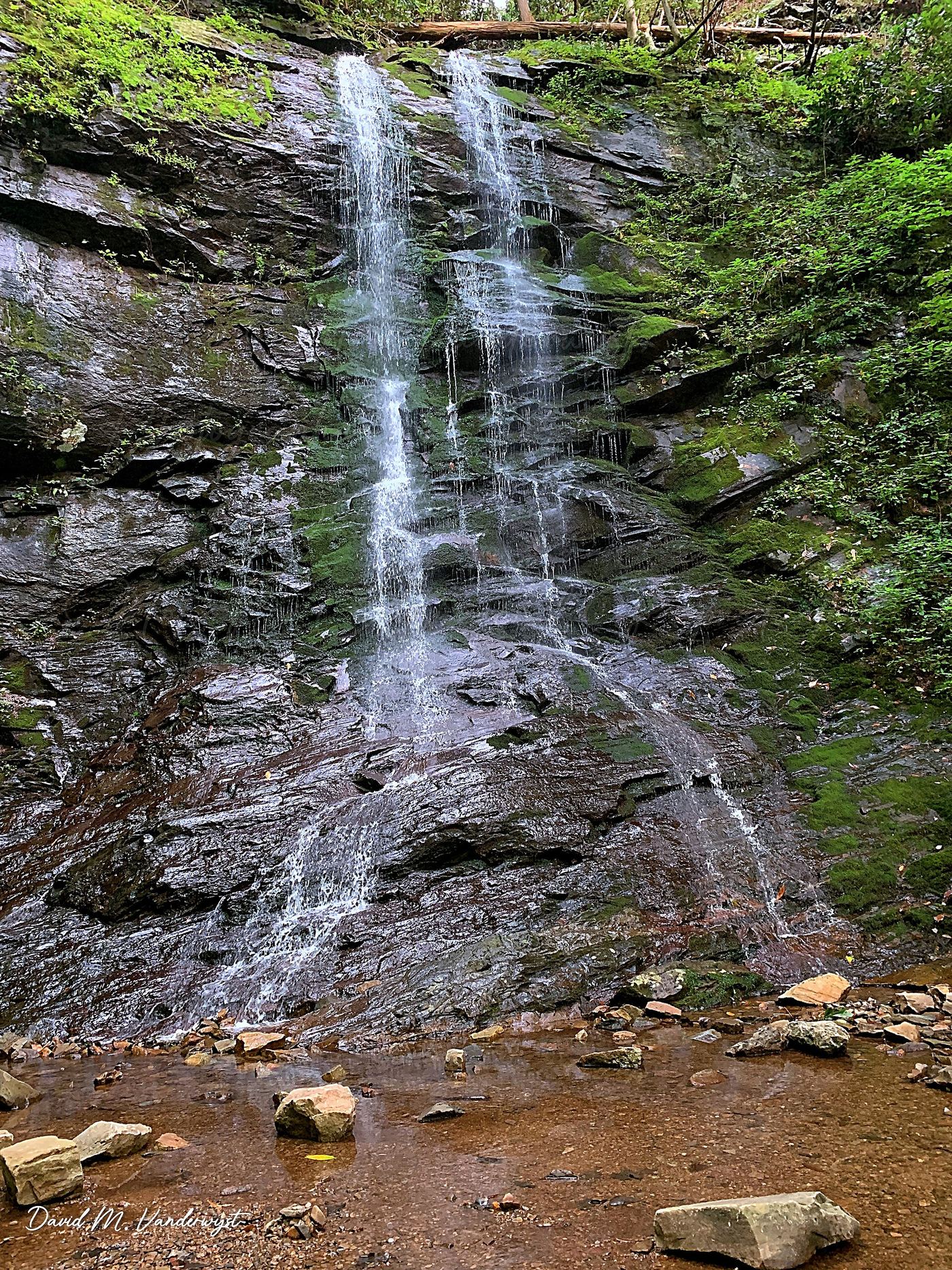
Waterfalls near Erwin, TN
58 named waterfalls within 30 miles of Erwin, closest first. Distances are straight-line from the town center.
Visits with route details
Read the walking route, starting point and current access notes.
- Martin Creek FallsPartial guide: parking at the gated road is not confirmed; unmarked side pathUnicoi County, TN
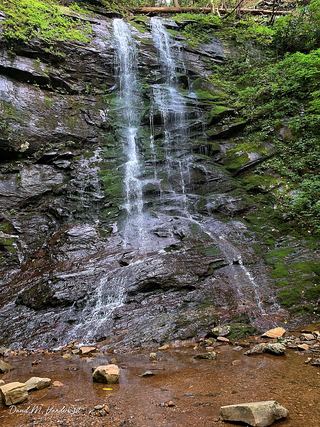 Sill Branch FallsGuide: short forest trail; keep left at the forkUnicoi County, TN
- Pine Ridge FallsNational forest trail route documented by visitor accounts; creek crossingUnicoi County, TN
- Lower Higgins Creek FallsForest road route and parking documented; steep scramble to the baseUnicoi County, TN
- Big Creek FallsRoadside waterfall with pullout and short bank pathYancey County, NC
- Birchfield Camp FallsPartial guide: total distance not stated; creek crossings without bridgesUnicoi County, TN
- Red Fork FallsPartial guide: unofficial path and a dangerous scramble to the base; land manager not confirmedUnicoi County, TN
- Squibb Creek FallsResearched route and starting areaGreene County, TN
- Pete's Branch FallsRoad and creek-crossing approach; total distance unconfirmedGreene County, TN
- Trillium FallsPrivate property; roadside view onlyMadison County, NC
- Margarette FallsRoute and parking researchedGreene County, TN
- Laurel FallsForest Service route and trailheads documentedCarter County, TN
- Coon Den FallsGuide: steep forest trail; park at the gravel area past the trailheadCarter County, TN
- Dennis Cove WaterfallNational forest trail route documented; three wading fordsCarter County, TN
- Hickey Fork FallsNational forest trail; steep path at the endMadison County, NC
- Falling Water Branch FallsPartial guide: no built trail, steep overgrown grades, route uncertain after Helene, parking not formalizedYancey County, NC
- Jones FallsPartial guide: the link from the forest road to the Appalachian Trail is an unofficial pathCarter County, TN
- Whiteoak Creek FallsShort paths from the end of a county road to a national forest waterfallYancey County, NC
 Splash Dam FallsPartial guide: unmarked side path and unofficial connector; scramble to the baseCarter County, TN
 Elk River FallsSource-reviewed route and parking49 ft (15 m) · Avery County, NC
- Twisting FallsPartial guide: unofficial steep path; land ownership not statedCarter County, TN
- Bon Ami FallsPrivate mine attraction with roadside overlook; fee for the mine tourMitchell County, NC
- Kelly FallsPartial guide: usual access road closed by flood damage; alternate drive to the falls not described12 ft (3.6 m) · Greene County, TN
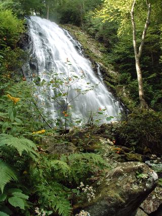 Crabtree FallsTrail listed closed66 ft (20 m) · Yancey County, NC
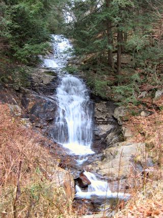 Walker FallsPartial guide: roadside falls on a road closed to vehicles since Hurricane Helene; walking distance unknownBuncombe County, NC
- Blue Hole FallsShort national forest trail and parking documentedCarter County, TN
- Dudley FallsSource-reviewed roadside view and parking10 ft (3 m) · Greene County, TN
- Ricker Branch FallsRoadside view across Forest Road 41 from a parking area15 ft (4.5 m) · Greene County, TN
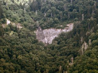 Glassmine FallsOverlook approach verified; no public access to the waterfallBuncombe County, NC
- Buckeye Creek FallsTown park trail; loop bridge out since September 2024, out-and-back worksWatauga County, NC
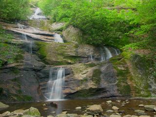 Setrock Creek FallsShort Forest Service trail from Black Mountain CampgroundYancey County, NC
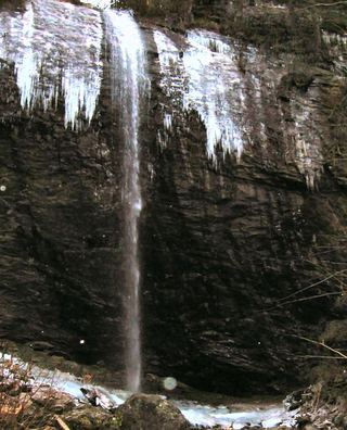 Douglas FallsGraybeard approach documented; Big Ivy road approach has a motor-vehicle closure.Buncombe County, NC
- Roaring Fork FallsSource-reviewed route and parkingYancey County, NC
- Spring Creek FallsRoadside pullout; short path to a bluff viewMadison County, NC
Closest with a photo
All 58 waterfalls
- Martin Creek FallsPartial guide: parking at the gated road is not confirmed; unmarked side pathUnicoi County, TN2.5 miSE
- Sill Branch FallsGuide: short forest trail; keep left at the forkUnicoi County, TN6.3 miW
- Hell Hollow FallsUnicoi County, TN6.7 miW
- Pine Ridge FallsNational forest trail route documented by visitor accounts; creek crossingUnicoi County, TN6.9 miW
- Josiah FallsUnicoi County, TN7.0 miW
- Lower Higgins Creek FallsForest road route and parking documented; steep scramble to the baseUnicoi County, TN7.6 miSW
- Wilderness FallsUnicoi County, TN7.6 miW
- Big Creek FallsRoadside waterfall with pullout and short bank pathYancey County, NC7.6 miS
- Birchfield Camp FallsPartial guide: total distance not stated; creek crossings without bridgesUnicoi County, TN7.8 miSW
- Longarm Branch FallsUnicoi County, TN8.1 miW
- Red Fork FallsPartial guide: unofficial path and a dangerous scramble to the base; land manager not confirmedUnicoi County, TN8.7 miE
- Squibb Creek FallsResearched route and starting areaGreene County, TN13 miW
- Pete's Branch FallsRoad and creek-crossing approach; total distance unconfirmedGreene County, TN14 miW
- Trillium FallsPrivate property; roadside view onlyMadison County, NC16 miSW
- Margarette FallsRoute and parking researchedGreene County, TN18 miW
- Laurel FallsForest Service route and trailheads documentedCarter County, TN18 miNE
- Coon Den FallsGuide: steep forest trail; park at the gravel area past the trailheadCarter County, TN18 miNE
- Fall Creek FallsMitchell County, NC18 miE
- Dennis Cove WaterfallNational forest trail route documented; three wading fordsCarter County, TN19 miNE
- Camp Creek Falls148 ft (45 m) · Greene County, TN20 miW
- Hickey Fork FallsNational forest trail; steep path at the endMadison County, NC20 miSW
- Upper Whiteoak Creek FallsYancey County, NC24 miSE
- Falling Water Branch FallsPartial guide: no built trail, steep overgrown grades, route uncertain after Helene, parking not formalizedYancey County, NC24 miS
- Jones FallsPartial guide: the link from the forest road to the Appalachian Trail is an unofficial pathCarter County, TN25 miE
- Whiteoak Creek FallsShort paths from the end of a county road to a national forest waterfallYancey County, NC25 miSE
- Mountaineer FallsCarter County, TN25 miE
- Locust Creek FallsYancey County, NC25 miSE
- Splash Dam FallsPartial guide: unmarked side path and unofficial connector; scramble to the baseCarter County, TN25 miE
- Camp Celo FallsYancey County, NC25 miSE
- Elk River FallsSource-reviewed route and parking49 ft (15 m) · Avery County, NC25 miE
- Twisting FallsPartial guide: unofficial steep path; land ownership not statedCarter County, TN25 miE
- Galvladi FallsYancey County, NC26 miS
- Guyot FallsYancey County, NC26 miS
- Split Rock FallsYancey County, NC26 miS
- Timber FallsYancey County, NC26 miS
- Crevice FallsYancey County, NC26 miS
- Bon Ami FallsPrivate mine attraction with roadside overlook; fee for the mine tourMitchell County, NC26 miSE
- Anaconda FallsYancey County, NC26 miS
- Middle Creek FallsYancey County, NC26 miS
- Squawroot FallsYancey County, NC26 miSE
- Lower Middle Creek FallsYancey County, NC26 miSE
- Mitchell Falls33 ft (10 m) · Yancey County, NC27 miS
- Kelly FallsPartial guide: usual access road closed by flood damage; alternate drive to the falls not described12 ft (3.6 m) · Greene County, TN27 miSW
- Crabtree FallsTrail listed closed66 ft (20 m) · Yancey County, NC27 miSE
- Walker FallsPartial guide: roadside falls on a road closed to vehicles since Hurricane Helene; walking distance unknownBuncombe County, NC27 miS
Show the other 13 waterfalls, 27 mi to 30 mi away
- Grassy Creek FallsMitchell County, NC27 miSE
- Blue Hole FallsShort national forest trail and parking documentedCarter County, TN28 miNE
- Middle Fork Rock Creek Falls79 ft (24 m) · Yancey County, NC28 miS
- Dudley FallsSource-reviewed roadside view and parking10 ft (3 m) · Greene County, TN28 miSW
- Ricker Branch FallsRoadside view across Forest Road 41 from a parking area15 ft (4.5 m) · Greene County, TN28 miSW
- Needles FallsMadison County, NC28 miSW
- Glassmine FallsOverlook approach verified; no public access to the waterfallBuncombe County, NC29 miS
- Buckeye Creek FallsTown park trail; loop bridge out since September 2024, out-and-back worksWatauga County, NC29 miE
- Setrock Creek FallsShort Forest Service trail from Black Mountain CampgroundYancey County, NC29 miS
- Douglas FallsGraybeard approach documented; Big Ivy road approach has a motor-vehicle closure.Buncombe County, NC29 miS
- Roaring Fork FallsSource-reviewed route and parkingYancey County, NC29 miSE
- Spring Creek FallsRoadside pullout; short path to a bluff viewMadison County, NC29 miSW
- Cascades FallsBuncombe County, NC30 miS