Bon Ami Falls
Mitchell County, North Carolina
Your visit at a glance
- Waterfall height
- Not recorded
- Location
- Mitchell County, North Carolina
- Access status
- Private mine attraction with roadside overlook; fee for the mine tour
- The walk
- Roadside view a few feet from the car, or a few steps down to the pond at the base inside the mine attraction
- Ground & access
- Roadside overlook and a short path with a few steps down to the pond at the base, inside the mine attraction.
Bon Ami Falls drops about 25 feet into the pool at the entrance of the historic Bon Ami Mine at Emerald Village, a private gem-mining attraction near Little Switzerland. NC Waterfalls says you can view the waterfall from a gravel pullout along McKinney Mine Road a few feet off the road, and that the best view is from the self-guided underground mine tour at the North Carolina Mining Museum. Flow is small after dry weather.
Plan your visit
Emerald Village roadside overlook and mine tour to Bon Ami Falls
NC Waterfalls lists the hike distance as a roadside view or a short walk to the base. No measured trail distance applies.
Roadside overlook and a short path with a few steps down to the pond at the base, inside the mine attraction.
Where to start
NC Waterfalls describes a gravel pullout along McKinney Mine Road at the Emerald Village complex, about 2 miles from Chestnut Grove Church Road at Blue Ridge Parkway Milepost 333.9. Emerald Village is private property; the overlook is a few feet from the road.
Timing & water
Emerald Village is open April 1 to October 31, 2026 per its website. Outside the season the roadside overlook may still be visible from the pullout; the falls can be close to dry after little rain.
Before you go
The waterfall and mine are on private land at Emerald Village. NC Waterfalls reports the self-guided underground mine tour ticket was $12 for adults in 2024. Emerald Village lists its 2026 season as April 1 to October 31. Confirm current prices and hours with Emerald Village.
Visitor informationMore waterfalls nearby
Within 40 straight-line miles. Road and trail distances will differ.
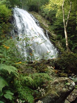 Crabtree FallsTrail listed closed66 ft (20 m) · Yancey County, NC2.3 miSW
- Grassy Creek FallsMitchell County, NC2.4 miE
- Camp Celo FallsYancey County, NC5.3 miW
- Whiteoak Creek FallsShort paths from the end of a county road to a national forest waterfallYancey County, NC5.5 miW
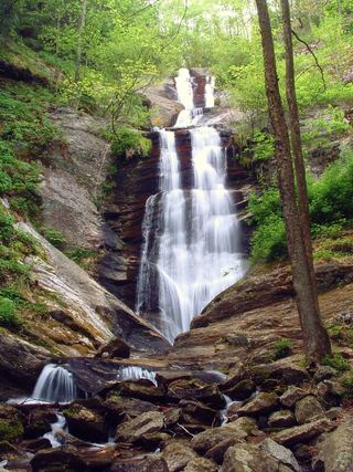 Toms Creek FallsCheck current trail conditionsMcDowell County, NC6.0 miSE
- Locust Creek FallsYancey County, NC6.1 miW
- Upper Whiteoak Creek FallsYancey County, NC6.4 miW
- Roaring Fork FallsSource-reviewed route and parkingYancey County, NC7.0 miSW
- Lower Middle Creek FallsYancey County, NC7.2 miSW