Toms Creek Falls
McDowell County, North Carolina
Your visit at a glance
- Waterfall height
- Not recorded
- Location
- McDowell County, North Carolina
- Access status
- Check current trail conditions
- The walk
- 0.4-mile hike to the falls
- Ground & access
- Wide, graded trail; the source does not certify wheelchair accessibility. A separate side path leads to a rock viewpoint.
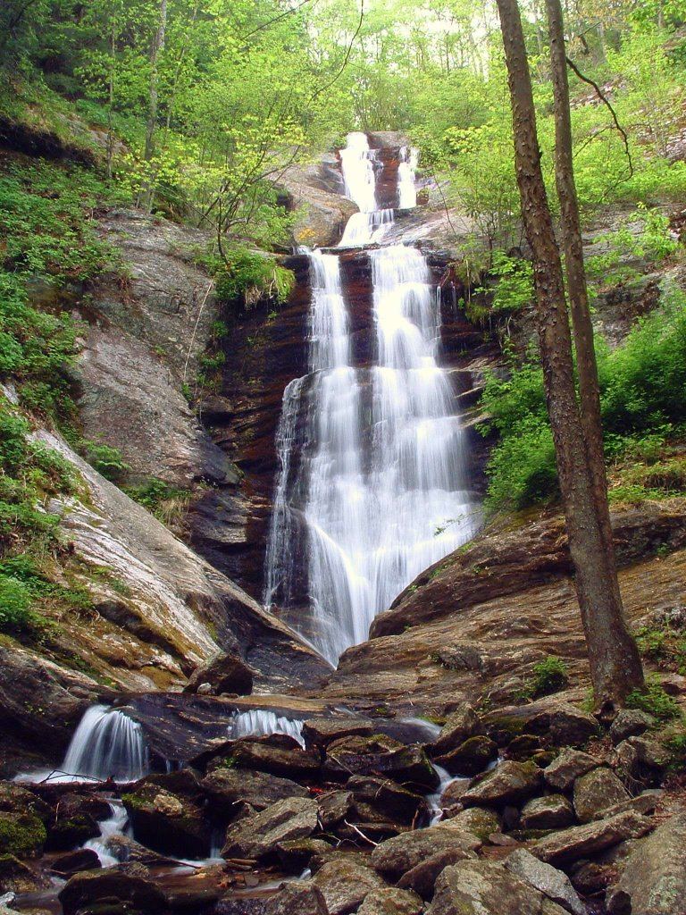
The waterfall-conservation nonprofit describes a wide, well-graded trail from the kiosk to a viewing deck below Toms Creek Falls.
Plan your visit
Kiosk trail to Toms Creek Falls viewing deck
Waterfall Keepers describes a 0.4-mile hike with directions from the lot to the falls; it does not explicitly label that figure as round trip.
Wide, graded trail; the source does not certify wheelchair accessibility. A separate side path leads to a rock viewpoint.
Where to start
Use the small rail-fenced lot on the right of Huskins Branch Road, 1.2 miles from US 221 north of Marion.
Timing & water
Check current access and conditions before travel; the reviewed source does not establish a reliable visiting season.
Before you go
Fees, permits and reservation requirements for this visit have not been confirmed; check with the land manager.
Visitor informationMore waterfalls nearby
Within 40 straight-line miles. Road and trail distances will differ.
- Buck Creek FallsPartial guide: obscured roadside view of a private waterfall; parking permission at the gate not confirmedMcDowell County, NC4.1 miSW
- Grassy Creek FallsMitchell County, NC5.6 miN
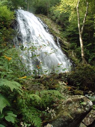 Crabtree FallsTrail listed closed66 ft (20 m) · Yancey County, NC5.7 miNW
- Bon Ami FallsPrivate mine attraction with roadside overlook; fee for the mine tourMitchell County, NC6.0 miNW
- Roaring Fork FallsSource-reviewed route and parkingYancey County, NC7.3 miW
- Curtis Creek FallsMcDowell County, NC8.0 miSW
- Stillhouse FallsMcDowell County, NC8.7 miNE
- Licklog Branch FallsMcDowell County, NC8.9 miSW
- Camp Celo FallsYancey County, NC9.0 miW