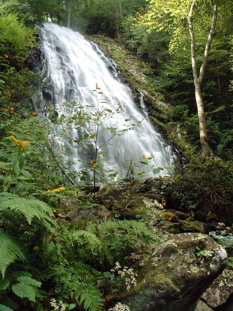
Crabtree Falls
Yancey County, North Carolina
Your visit at a glance
- Waterfall height
- 66 ft (20 m)
- Location
- Yancey County, North Carolina
- Access status
- Trail listed closed
- The walk
- Closed; published loop distances conflict
- Ground & access
- Steep, rocky trail.
The official status table lists this loop closed. Do not use the general route description as confirmation of access.
Plan your visit
Crabtree Falls loop, currently listed closed
NPS trail article says 3-mile loop; NPS status table says 2.5-mile loop.
Steep, rocky trail.
Where to start
Usual start is the old Crabtree Falls Camp Store parking area; current parking access is unconfirmed.
Timing & water
Closure listed when checked 2026-10-27.
Before you go
Unknown: not established.
Visitor informationMore waterfalls nearby
Within 40 straight-line miles. Road and trail distances will differ.
- Bon Ami FallsPrivate mine attraction with roadside overlook; fee for the mine tourMitchell County, NC2.3 miNE
- Camp Celo FallsYancey County, NC3.7 miW
- Whiteoak Creek FallsShort paths from the end of a county road to a national forest waterfallYancey County, NC4.0 miW
- Grassy Creek FallsMitchell County, NC4.4 miNE
- Locust Creek FallsYancey County, NC4.4 miW
- Roaring Fork FallsSource-reviewed route and parkingYancey County, NC4.7 miSW
- Upper Whiteoak Creek FallsYancey County, NC5.0 miW
- Lower Middle Creek FallsYancey County, NC5.2 miW
- Squawroot FallsYancey County, NC5.2 miW