Setrock Creek Falls
Yancey County, North Carolina
Your visit at a glance
- Waterfall height
- Not recorded
- Location
- Yancey County, North Carolina
- Access status
- Short Forest Service trail from Black Mountain Campground
- The walk
- About 1 mile return
- Ground & access
- Easy forest trail with a foot bridge and a gravel road crossing. Rocks near the falls are slippery. Flow can drop to a trickle in dry weather.
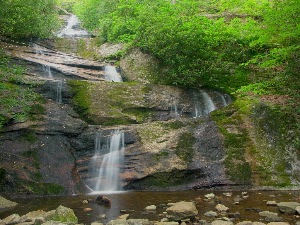
Walk into the campground and cross the bridge over the South Toe River, then turn left on the combined River Loop and Mount Mitchell trails. In about 0.3 to 0.4 miles, after the Mount Mitchell Trail turns off, take the Setrock Creek Falls Trail (#197). It crosses Briar Bottom Camp Road and ends at the base of the 75-foot tiered falls.
Plan your visit
South Toe trailhead parking outside Black Mountain Campground via River Loop and Setrock Creek Falls trails
Waterfall Hero gives a 1-mile hike; the legacy NCWaterfalls account calls the trail 0.5 miles one way.
Easy forest trail with a foot bridge and a gravel road crossing. Rocks near the falls are slippery. Flow can drop to a trickle in dry weather.
Where to start
From NC 80, take South Toe River Road (it becomes gravel FS 472) just under 3 miles and park at the South Toe trailhead lot just outside the Black Mountain Campground entrance. Take a Hike says only registered campers may park inside.
Timing & water
The Forest Service lists FS 472 open 3.8 miles past Black Mountain Campground. Briar Bottom Campground is closed to motorized use. Pisgah National Forest had widespread Hurricane Helene damage; use caution.
Before you go
Day hiking fee not stated. The campground charges overnight fees and operates April to October.
Visitor informationVisit sources
More waterfalls nearby
Within 40 straight-line miles. Road and trail distances will differ.
- Middle Fork Rock Creek Falls79 ft (24 m) · Yancey County, NC1.7 miNW
- Roaring Fork FallsSource-reviewed route and parkingYancey County, NC2.2 miE
- Curtis Creek FallsMcDowell County, NC2.8 miSE
- Middle Creek FallsYancey County, NC2.9 miN
- Lower Middle Creek FallsYancey County, NC2.9 miN
- Squawroot FallsYancey County, NC2.9 miN
- Anaconda FallsYancey County, NC3.0 miN
- Crevice FallsYancey County, NC3.1 miN
- Timber FallsYancey County, NC3.2 miN