Brandywine Falls
Summit County, Ohio
Your visit at a glance
- Waterfall height
- About 60–65 ft
- Location
- Summit County, Ohio
- The walk
- Short boardwalk access
- Ground & access
- The upper boardwalk viewing area has wheelchair access from the parking lot. The boardwalk can close when icy.
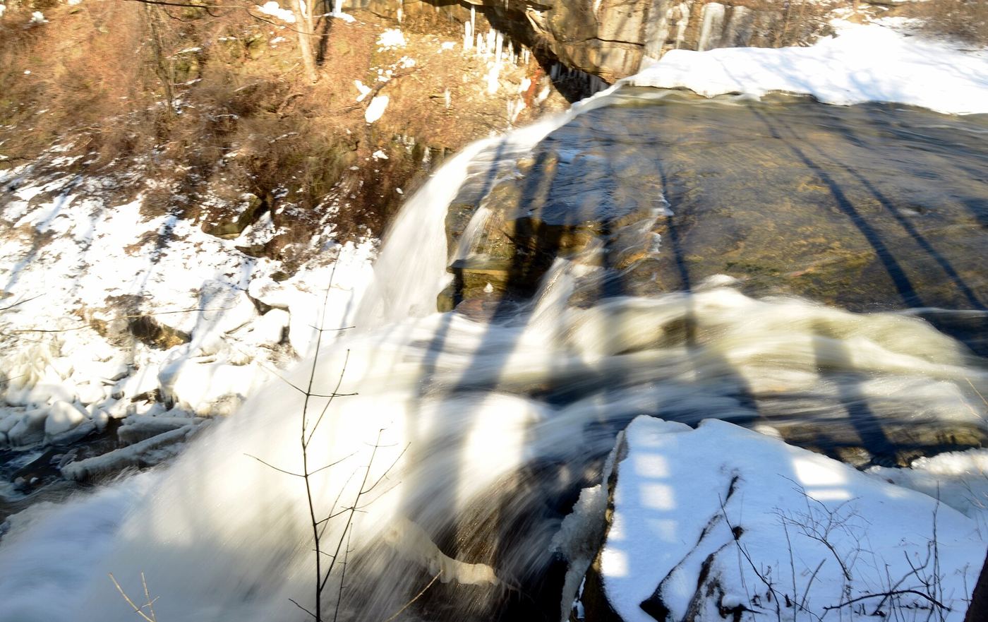
Take the short path to the upper boardwalk for a view of the falls. The 1.5-mile gorge loop is an optional longer walk, not the distance needed to see the waterfall.
Plan your visit
Upper boardwalk viewpoint
The separate Brandywine Gorge Loop is 1.5 miles with 160 ft of elevation change.
The upper boardwalk viewing area has wheelchair access from the parking lot. The boardwalk can close when icy.
Where to start
Start at Brandywine Falls Trailhead, 8176 Brandywine Road, Sagamore Hills. Parking spaces are limited.
Timing & water
The falls area is open dawn to dusk. Icy weather can close the boardwalk.
Before you go
Check current park notices, especially if approaching from Stanford Trailhead.
Visitor informationMore waterfalls nearby
Within 40 straight-line miles. Road and trail distances will differ.
- Buttermilk FallsPartial guide: unmarked path past Blue Hen Falls; land manager at the falls unknownSummit County, OH1.8 miSW
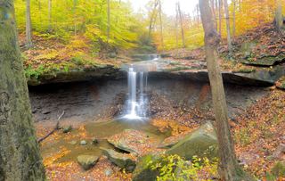 Blue Hen FallsNational park trail from the Boston Mill Visitor CenterSummit County, OH2.2 miSW
- Greenwood FallsSummit County, OH2.7 miNW
- Twin Sisters FallsPartial guide: unmarked creek walk off the Towpath Trail; canal crossing depends on water levelSummit County, OH4.0 miNW
- Minnie Ha Ha FallsSummit County, OH4.0 miS
- Deer Lick Cave FallsShort Metroparks loop past the cave to the fallsCuyahoga County, OH4.2 miNW
- Canyon FallsSummit County, OH4.9 miNE
- Crown Hill FallsHistorical walking route documented; current permission and parking unconfirmedSummit County, OH5.2 miE
- Bridal Veil FallsMetroparks boardwalk and steps to a viewing deckCuyahoga County, OH6.7 miN