Crown Hill Falls
Summit County, Ohio
Your visit at a glance
- Waterfall height
- Not recorded
- Location
- Summit County, Ohio
- Access status
- Historical walking route documented; current permission and parking unconfirmed
- The walk
- Historical guide: 40 yards; current route unconfirmed
- Ground & access
- The older account describes concrete pavement, eight steps and a bench beside the waterfall brink. Current surface condition and accessibility are unverified.
A published firsthand guide documents a short stepped approach inside Crown Hill Cemetery. The local watershed group also documents the waterfall, but current permission for sightseeing and visitor parking still need confirmation.
Crown Hill Cemetery location
Tinker’s Creek Watershed Partners places this waterfall at the back of Crown Hill Cemetery in Twinsburg. Its winter photo report shows water flowing beneath icicles. The report does not establish a public walking route or authorized waterfall parking.
Contact the cemetery before visiting to confirm whether waterfall access is permitted and where to park. The nearby patient parking previously selected by the map search is not a verified visitor entrance.
Location source
Plan your visit
Dan Styer’s 2011 guide describes a short concrete path with eight descending steps from the cemetery road to a granite bench at the waterfall brink. Confirm with the cemetery that this path remains available for waterfall visits before using it.
The 2011 guide lists 40 yards without stating whether that includes the return. No current distance or path-condition check is available.
The older account describes concrete pavement, eight steps and a bench beside the waterfall brink. Current surface condition and accessibility are unverified.
Where to start
The cemetery entrance is at 8592 Darrow Road, Twinsburg. The 2011 guide describes parking at the edge of an internal road near the stream, rather than a marked visitor lot. Ask the cemetery where waterfall visitors may park; do not use the nearby hospital parking.
Timing & water
Tinker’s Creek Watershed Partners documents winter flow and icicles. That report does not establish year-round path access.
Before you go
Confirm permission for a waterfall visit and any visitor requirements with the cemetery. Published funeral-service office hours do not establish waterfall visiting hours.
Visitor informationVisit sources
More waterfalls nearby
Within 40 straight-line miles. Road and trail distances will differ.
- Canyon FallsSummit County, OH1.0 miNW
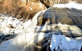 Brandywine FallsResearched visit notesAbout 60–65 ft · Summit County, OH5.2 miW
- Greenwood FallsSummit County, OH6.3 miW
- Buttermilk FallsPartial guide: unmarked path past Blue Hen Falls; land manager at the falls unknownSummit County, OH7.0 miSW
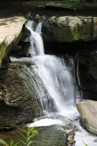 Great Falls of Tinker's CreekMetroparks paved path to a wide historic falls13 ft (4 m) · Cuyahoga County, OH7.1 miNW
- Bridal Veil FallsMetroparks boardwalk and steps to a viewing deckCuyahoga County, OH7.2 miNW
- Twin Sisters FallsPartial guide: unmarked creek walk off the Towpath Trail; canal crossing depends on water levelSummit County, OH7.2 miW
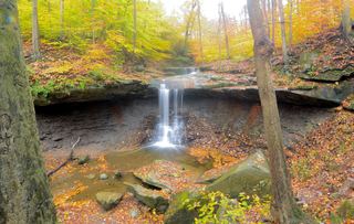 Blue Hen FallsNational park trail from the Boston Mill Visitor CenterSummit County, OH7.4 miSW
- Minnie Ha Ha FallsSummit County, OH7.4 miSW